

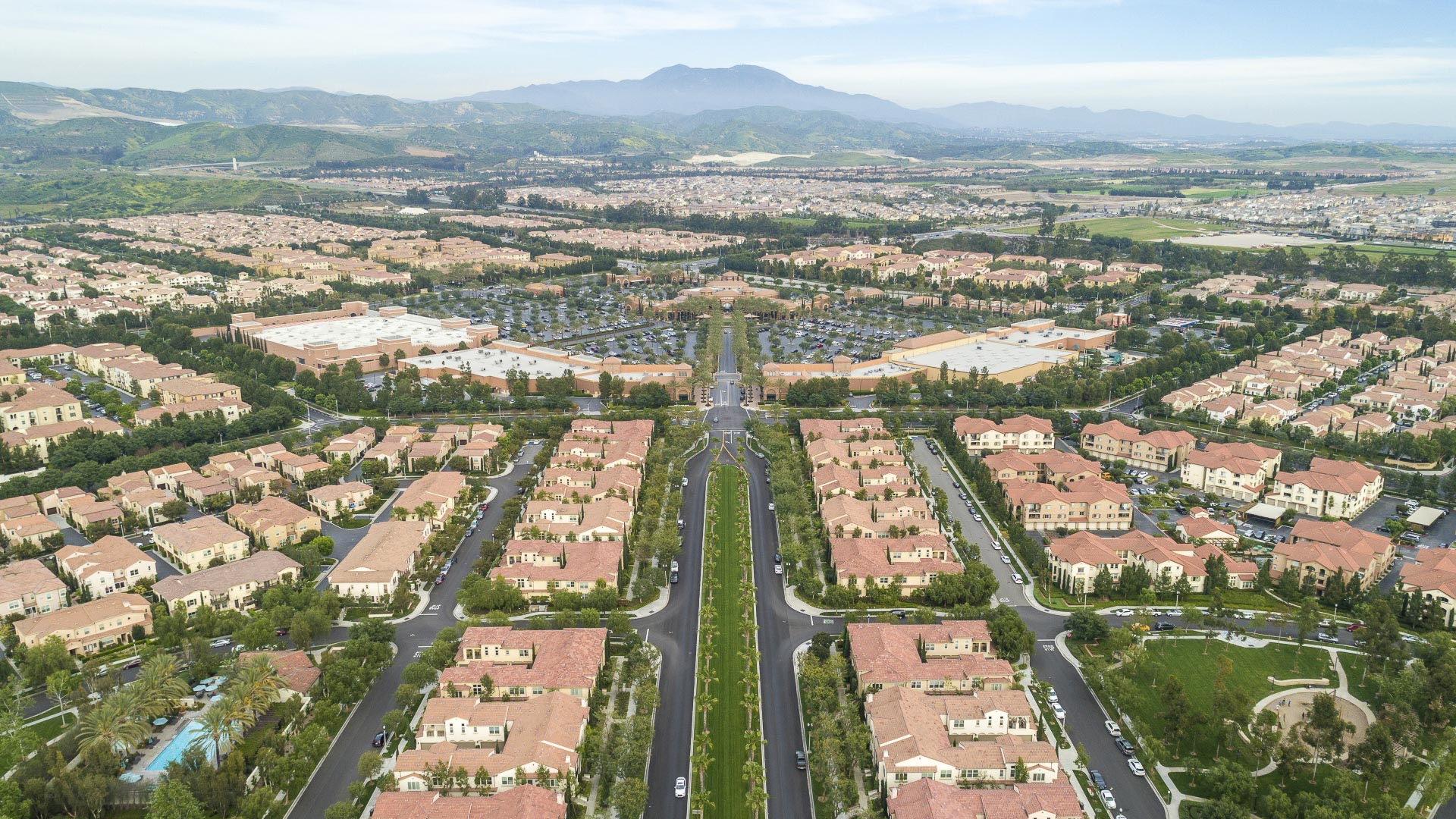
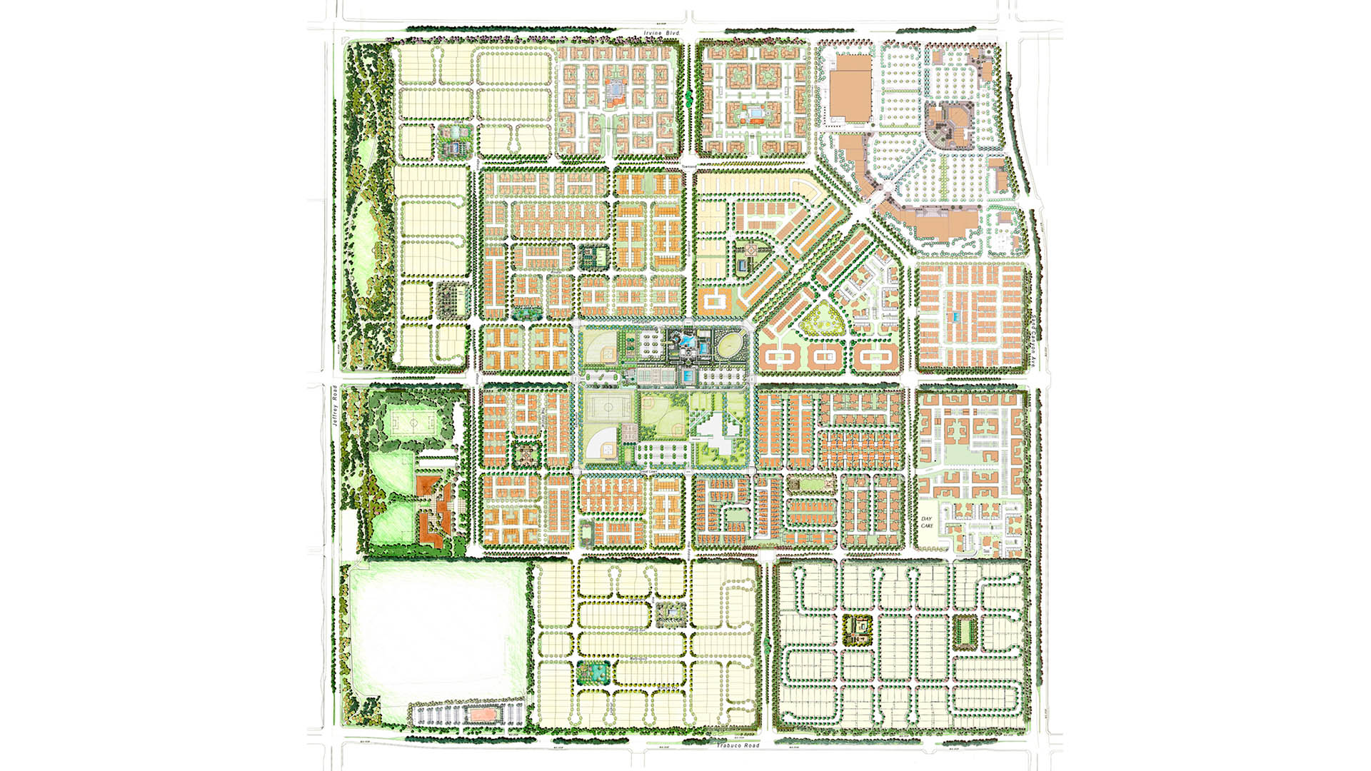


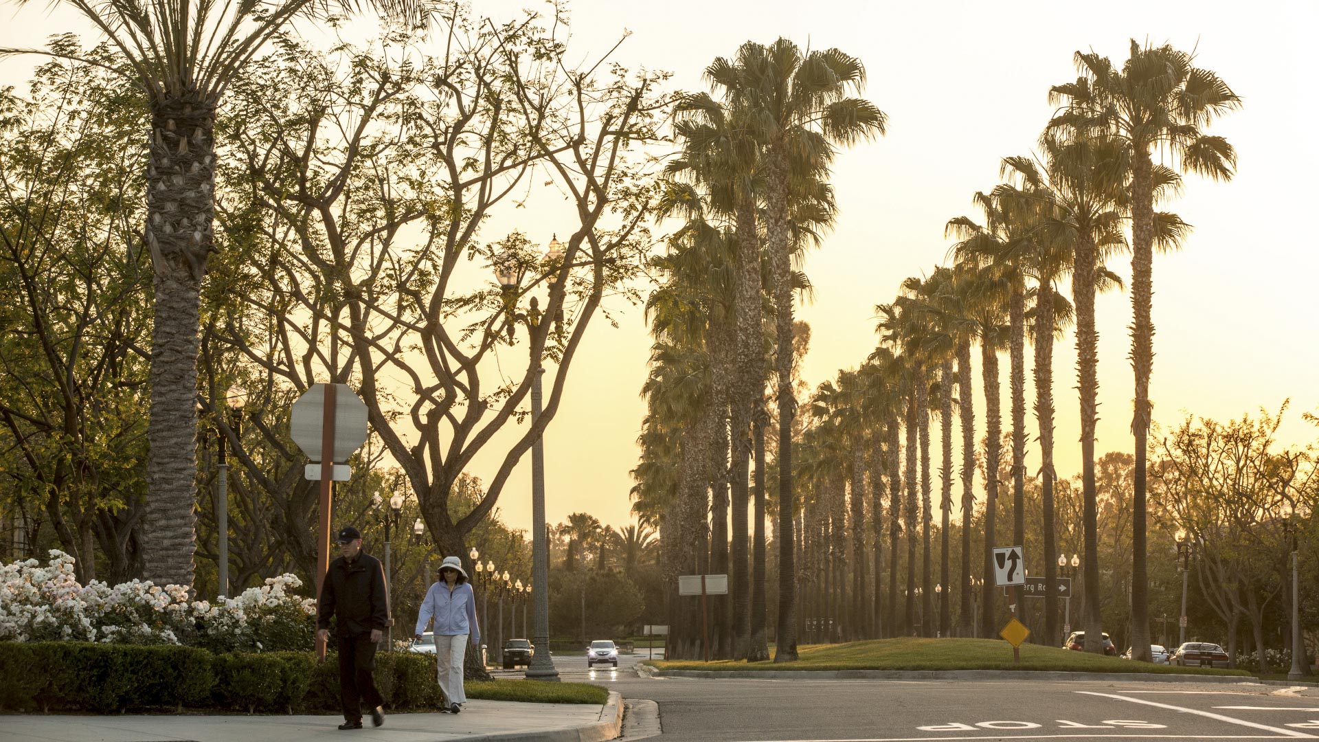
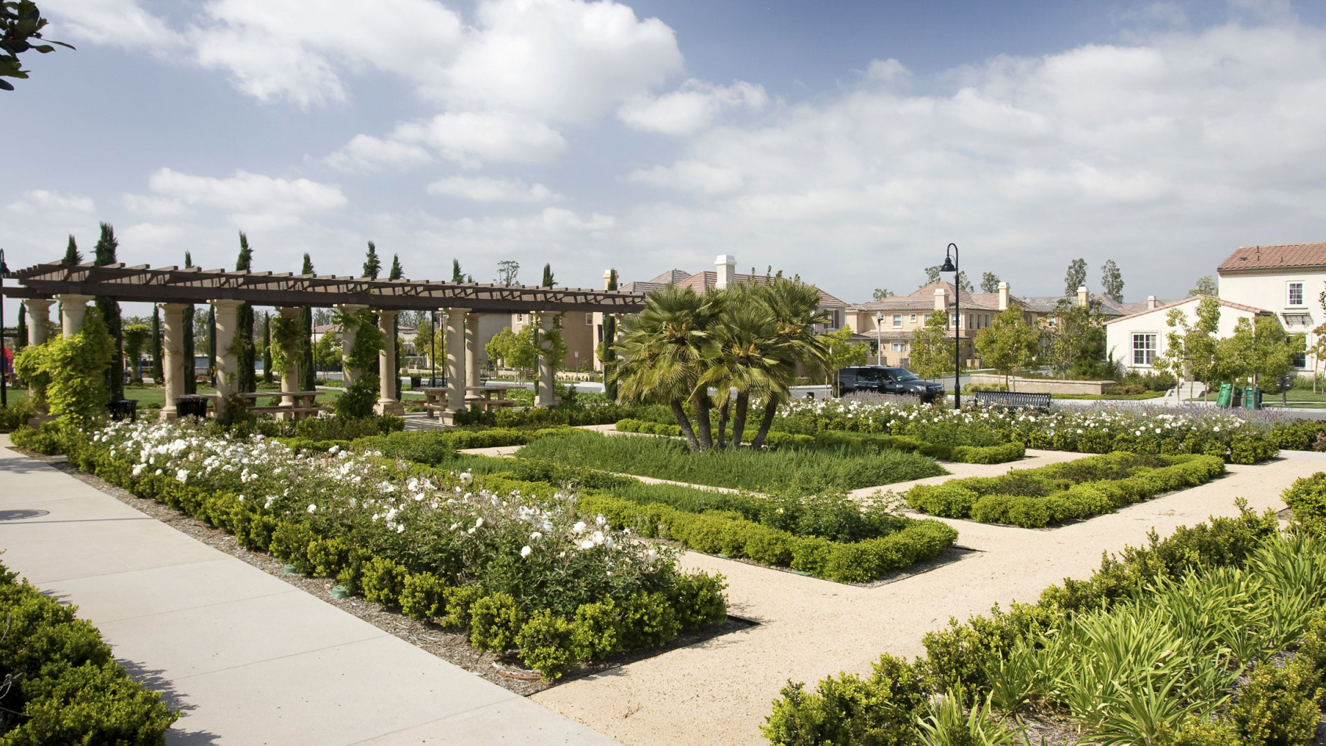
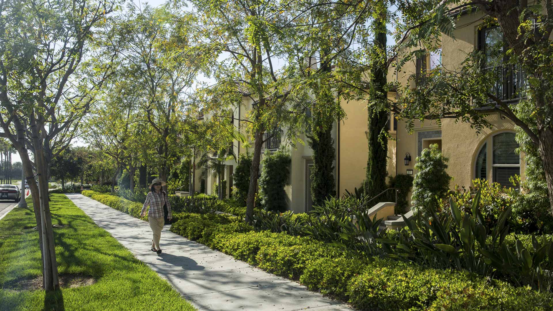


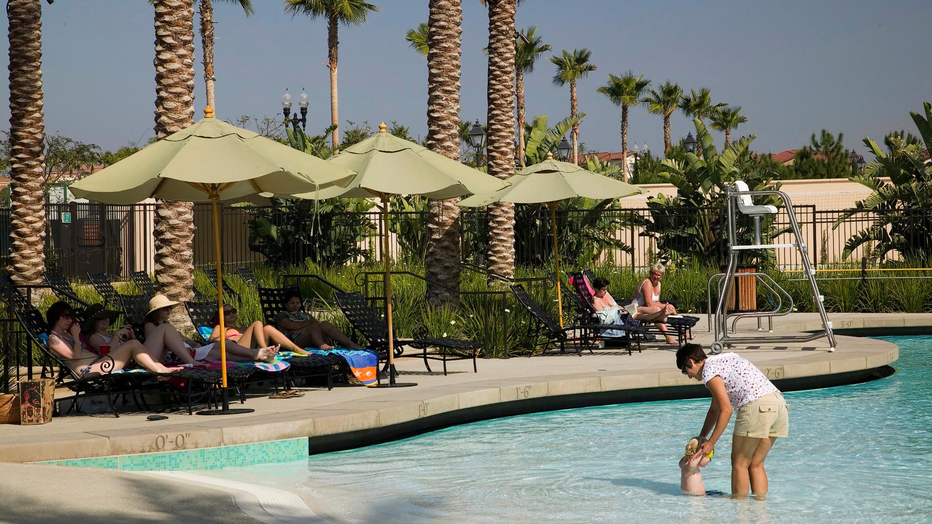
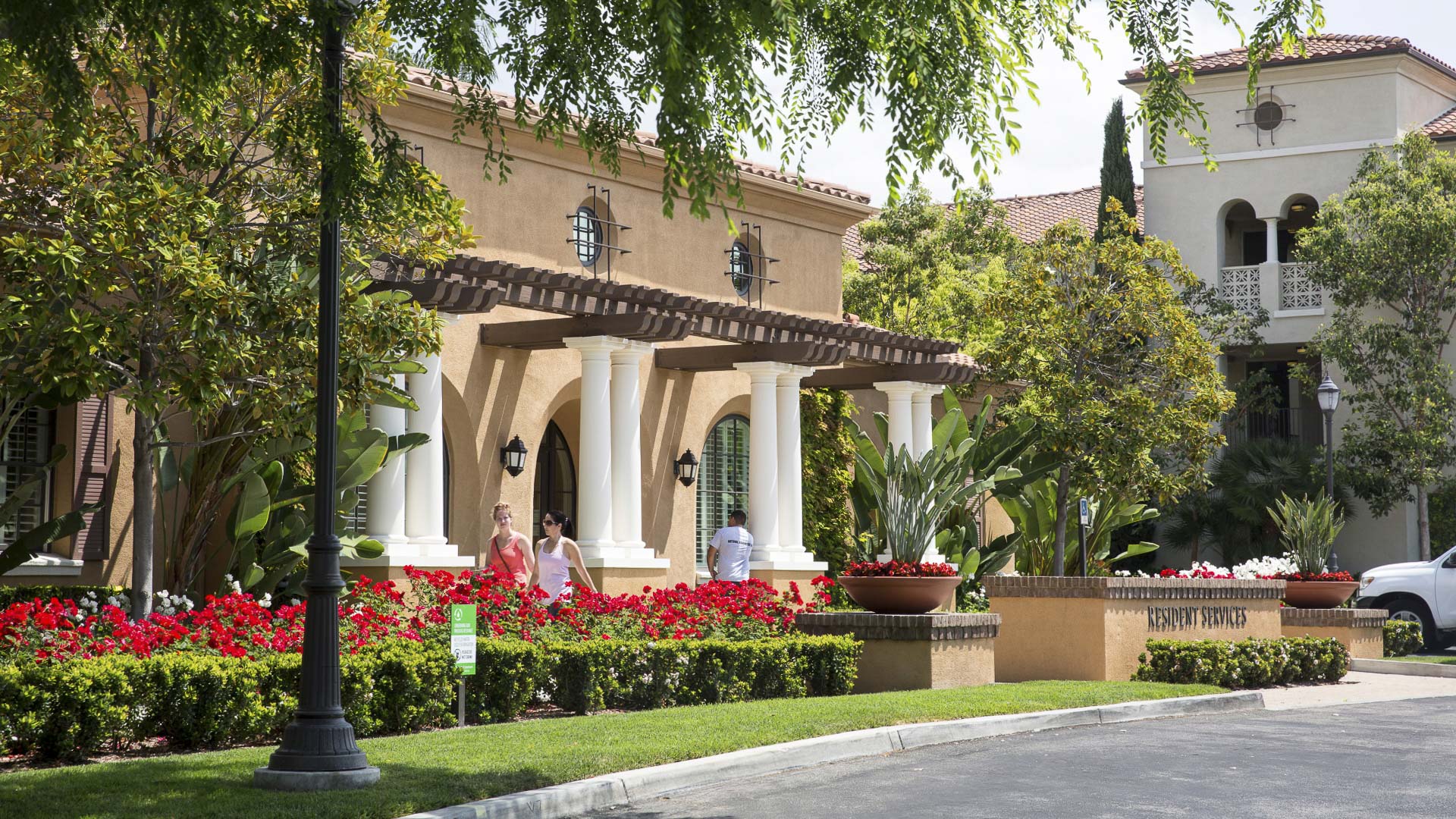
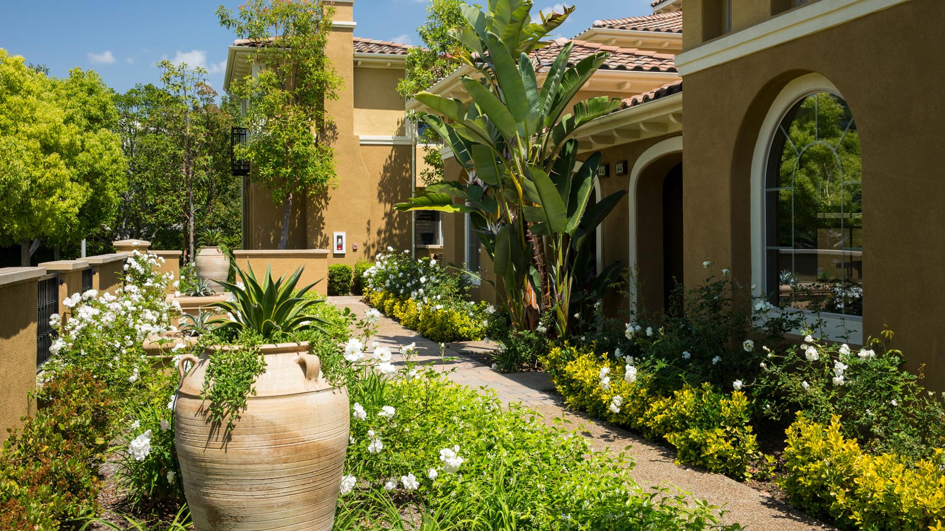


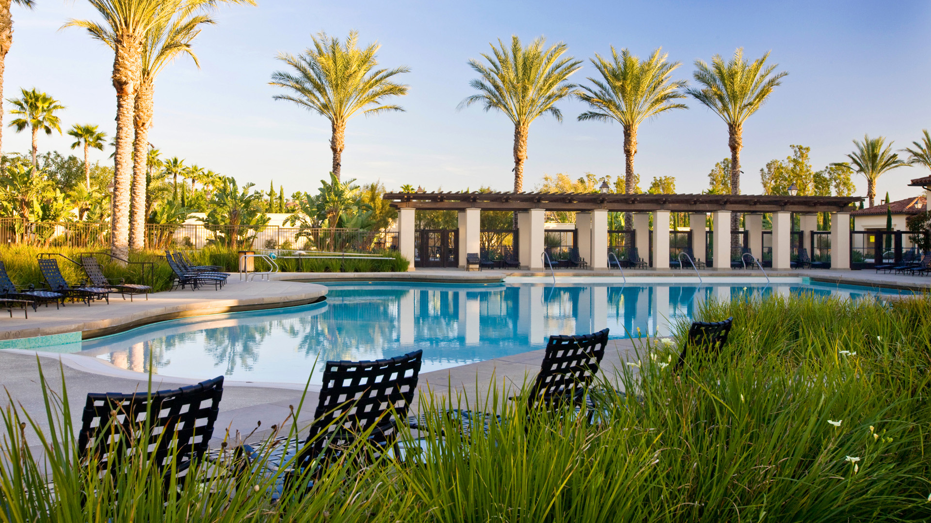
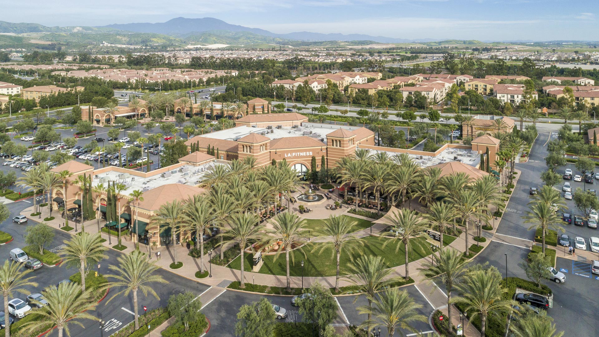
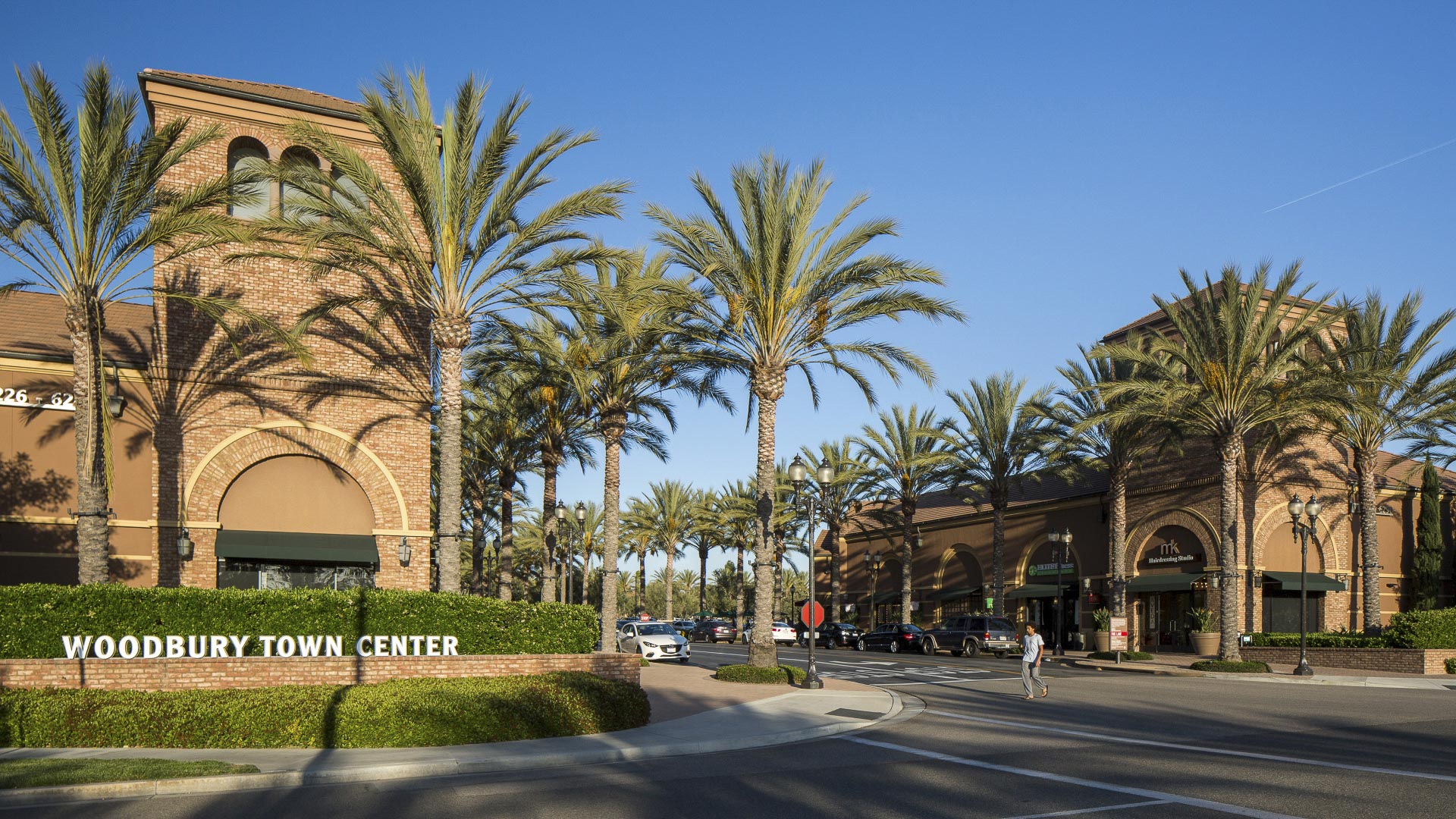

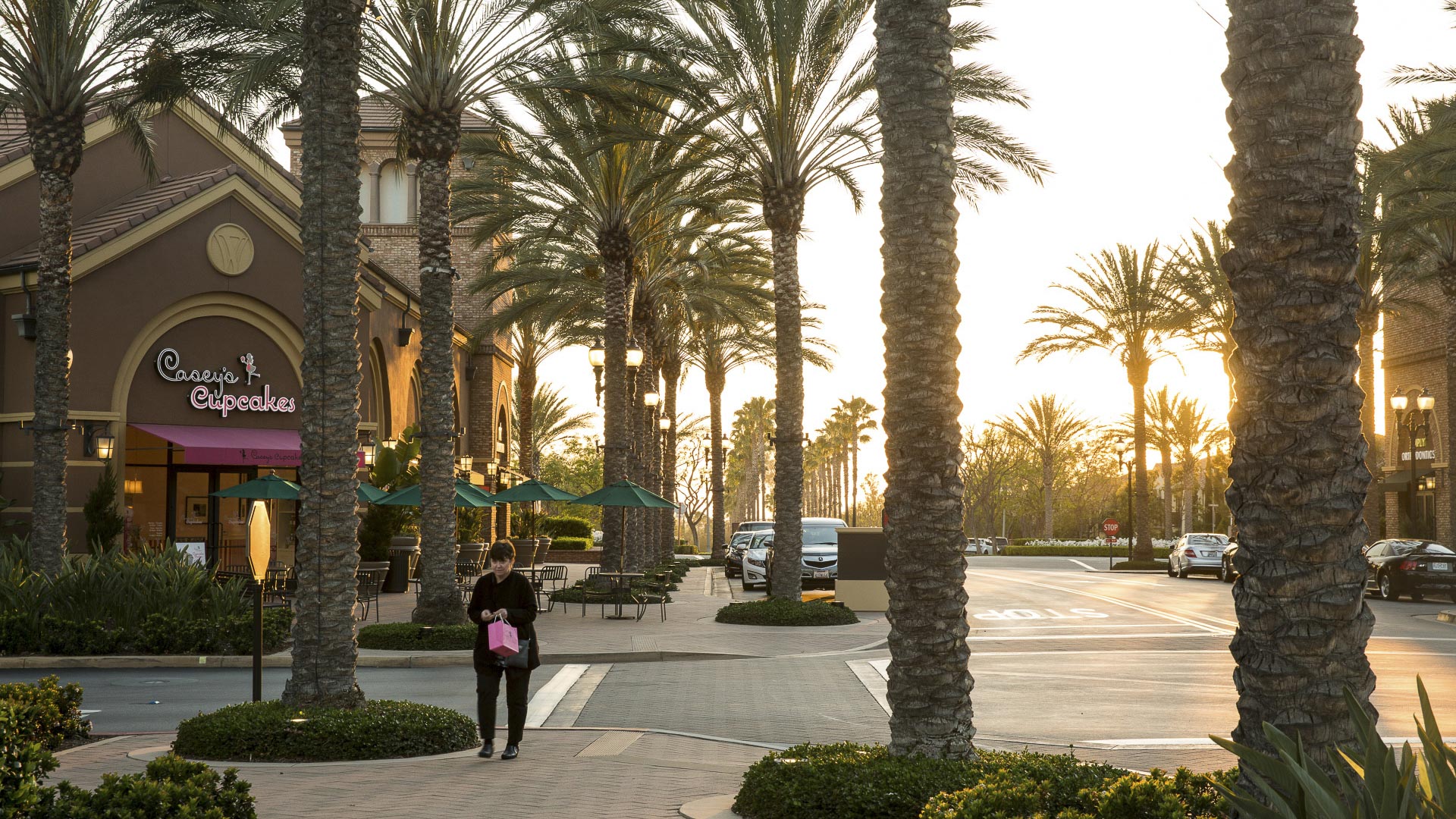
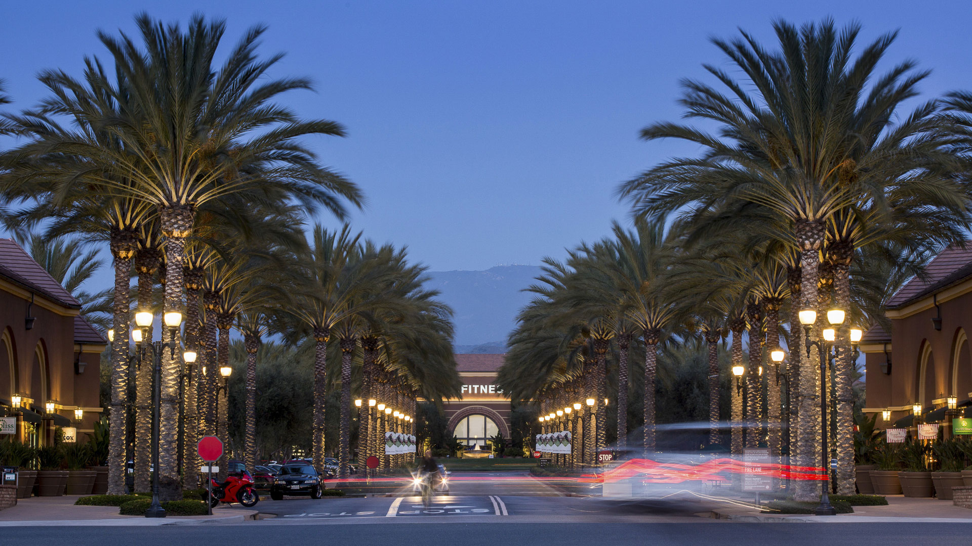
SWA provided planning services related to entitlement and land use for 1,400 acres of land in the City of Irvine, representing the last “flat land” development within the Irvine Ranch. Fundamental to the planning of Woodbury was the concept of a village “commons” with a mix of retail, residential, and office uses, which also includes a recreation center, public community park, and elementary school as well as a series of neighborhood parks, echoing a variety of distinct architectural styles. Equally important was the establishment of the landscape framework that became the backbone of the community, with four major entryways, two green inner loops, and a pedestrian esplanade providing connections between the village commons and the retail center. The enclave connects to the Jeffrey Open Space Trail, an innovative departure at the time from traditional urban park landscapes to ‘California Native Meadow’. It also introduced the first phase of a now-implemented broader regional trail system. SWA worked with the City staff in preparing the General Plan, pre-zoning, and annexation applications. This project received the Pacific Coast Builders Gold Nugget Grand Award in 2004 for the “Best Community Site Plan—100 Acres or More”.
Kunming Eco-Communities
The concept for the Kunming Eco-Town is based on an understanding of the historical natural processes of the location. The masterplan restores balance in the landscape through sensitive development. In using a watershed planning approach to determine the most sensitive lands and subsequently, where development is appropriate, the issues of a healthy, functioni...
Hunter's Point Shipyard and Candlestick Point
Perched on the edge of San Francisco Bay, the Hunters Point Shipyard was an important naval manufacturing center for the WWI and WWII war efforts. The abandoned shipyard and Candlestick Point were combined into a new, mixed-use residential, retail and light industry development—the largest in San Francisco since WWII. Thomas Balsley Associates collaborated wit...
Bridgeland Prairieland Village
Located in the southwest quadrant of the Bridgeland master-planned community, which houses 70,000 residents, Prairieland Village comprises a variety of land uses adjacent to natural spaces that connect to the Cypress Creek boundary to the north and John Paul’s Landing to the south. At the heart of Prairieland’s design is the relationship between wa...
Tata Eco City
At the crossroads of ecology and community, this master plan synergizes a unique blend of spaces that support active lifestyles and foster innovation and creativity. Tata Eco City Master Plan was been developed layer by layer, using a set of strategic design interventions to help ensure that the delicate balance between nature and the built environment is prot...