

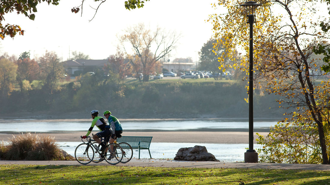
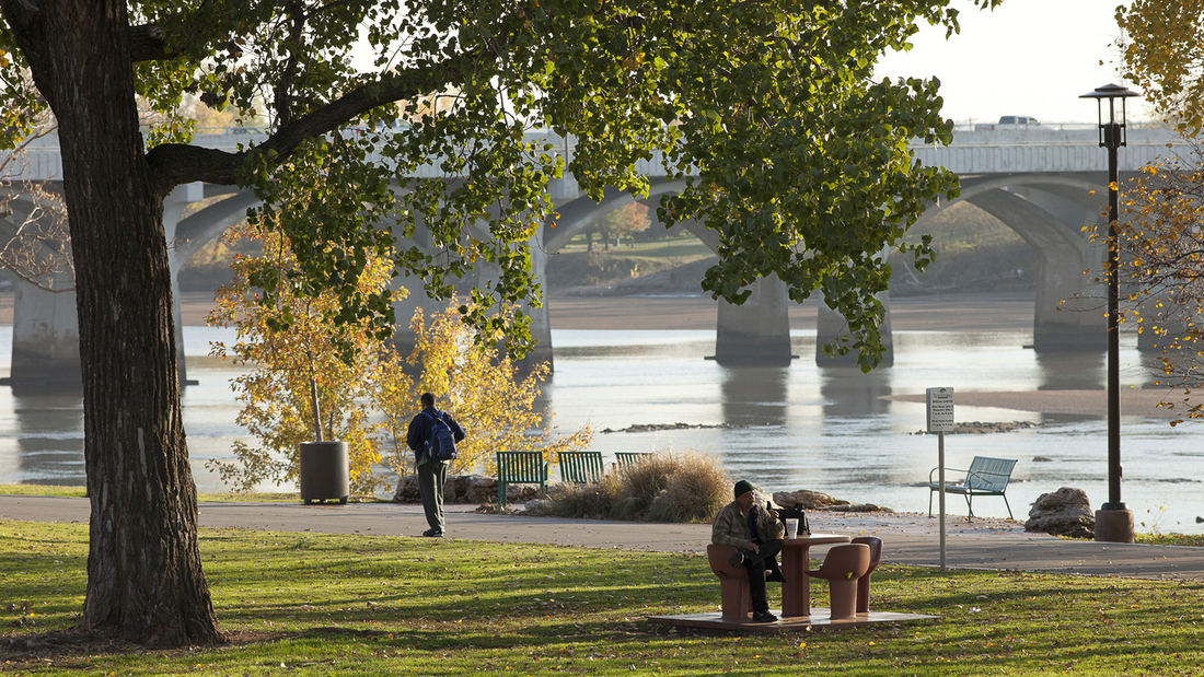
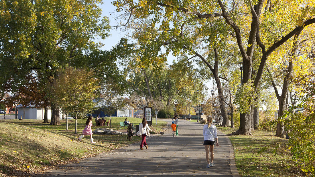
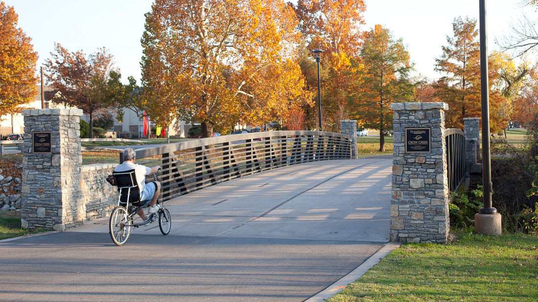
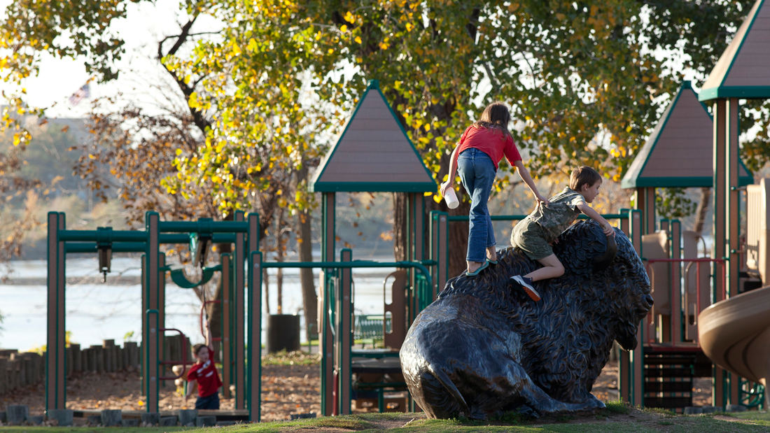
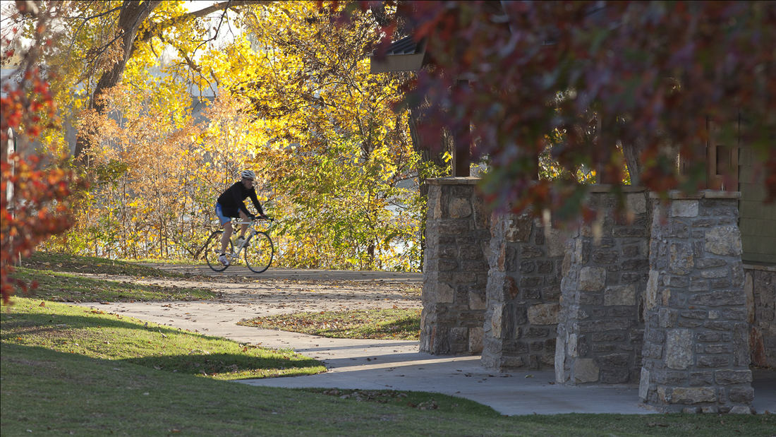
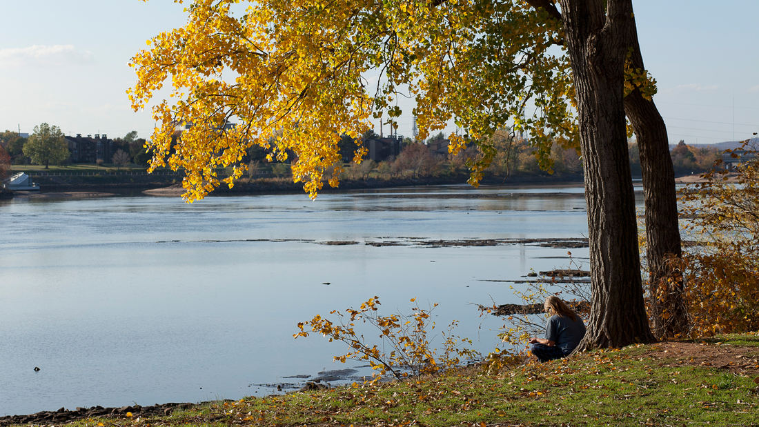
SWA directed conceptual studies for incorporating a landmark residential estate, a multi-family housing complex and a creek corridor into the adjacent Arkansas River waterfront of Tulsa, Oklahoma. Recently acquired by a local community foundation, the total 64-acre area features sweeping lawns and a historic home that provides much-needed space for the city’s popular River Parks system.
The design concepts explore options for realigning, submerging, and bridging over Riverside Drive in order to connect adjacent neighborhoods to trails and open space along the river, including the recently constructed and SWA-designed 41st Street Plaza and refurbished trails.
Waterside activities will include a whitewater-kayaking venue, launching for other small boats, and pedestrian plazas. A children’s discovery museum will create a regional attraction within the estate area, with pavilions clustered within the wooded perimeter to maintain the signature open lawn area. Existing multi-family housing will be intensified, with recommendations for additional property acquisition to extend trail connections to other city neighborhoods and destinations.
Tianjin Culture Park
In the strategy for the upcoming integration of Beijing, Tianjin and Hebei Province, the city of Tianjin has been identified as an advanced national manufacture and research base, as well as a core area of international shipping, a financial innovation demonstration zone, and a pilot region for the overall reformation of the area. The location of the SWA-desig...
Naftzger Park
Naftzger Park offers a contemporary and communal gathering space in downtown Wichita with enough variety to appeal to everyone. Designed to activate an area of town between Old Town and a burgeoning new entertainment district, the park is at once an urban foyer and outdoor recreation room. A contemporary pavilion can accommodate picnic tables by day and perf...
Alief Park and Neighborhood Center
In the aftermath of Hurricane Harvey, Houston was compelled to reassess community preparedness. The 37-acre Alief Center, situated in one of the city’s most culturally diverse areas, addresses longstanding issues of disinvestment and environmental injustice while fostering physical and social resilience.
Elevated above the 100-year floodplain, the...
Xingfa Quarry Park
Just north of Beijing, between the Great Wall and Yanqi Lake, the Xingfa Cement Plant once fueled China’s construction boom, operating for over two decades before its 2015 closure under the National Air Quality Action Plan. Today, an adjacent quarry that once provided raw materials has been remediated as a 107.5-hectare terraced park that anchors an accompanyi...