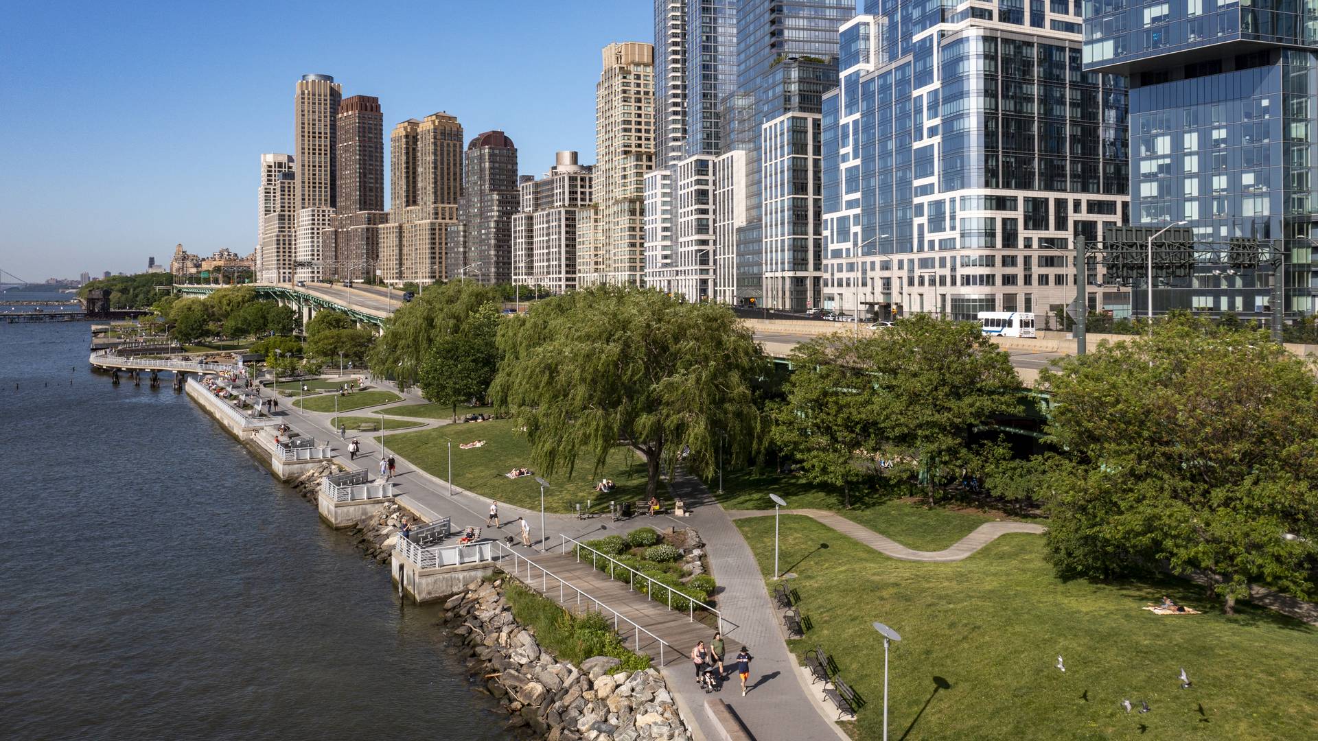
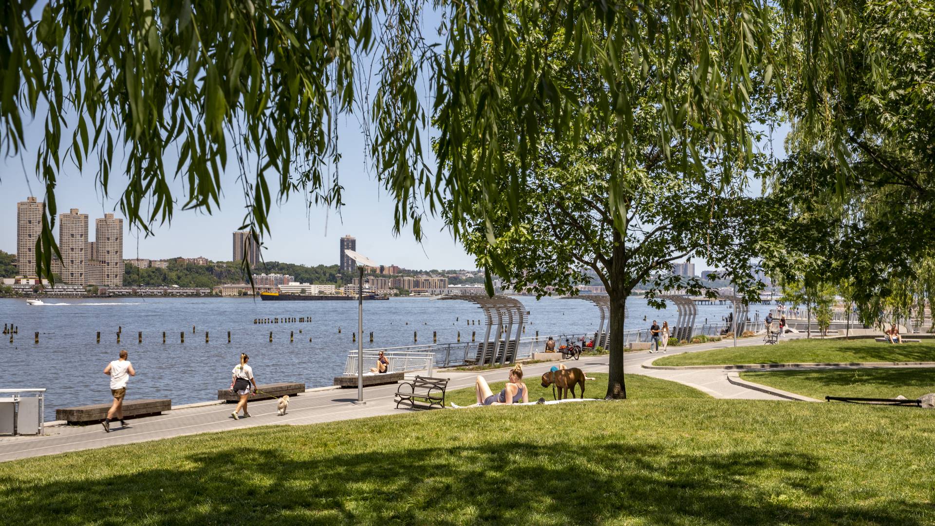
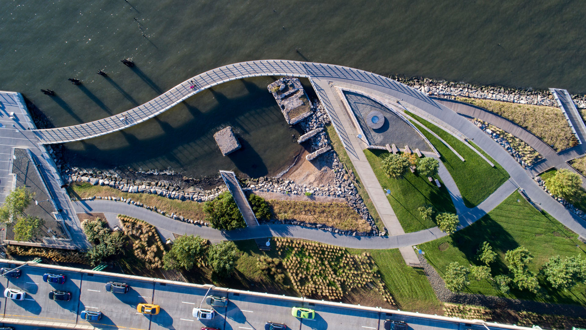
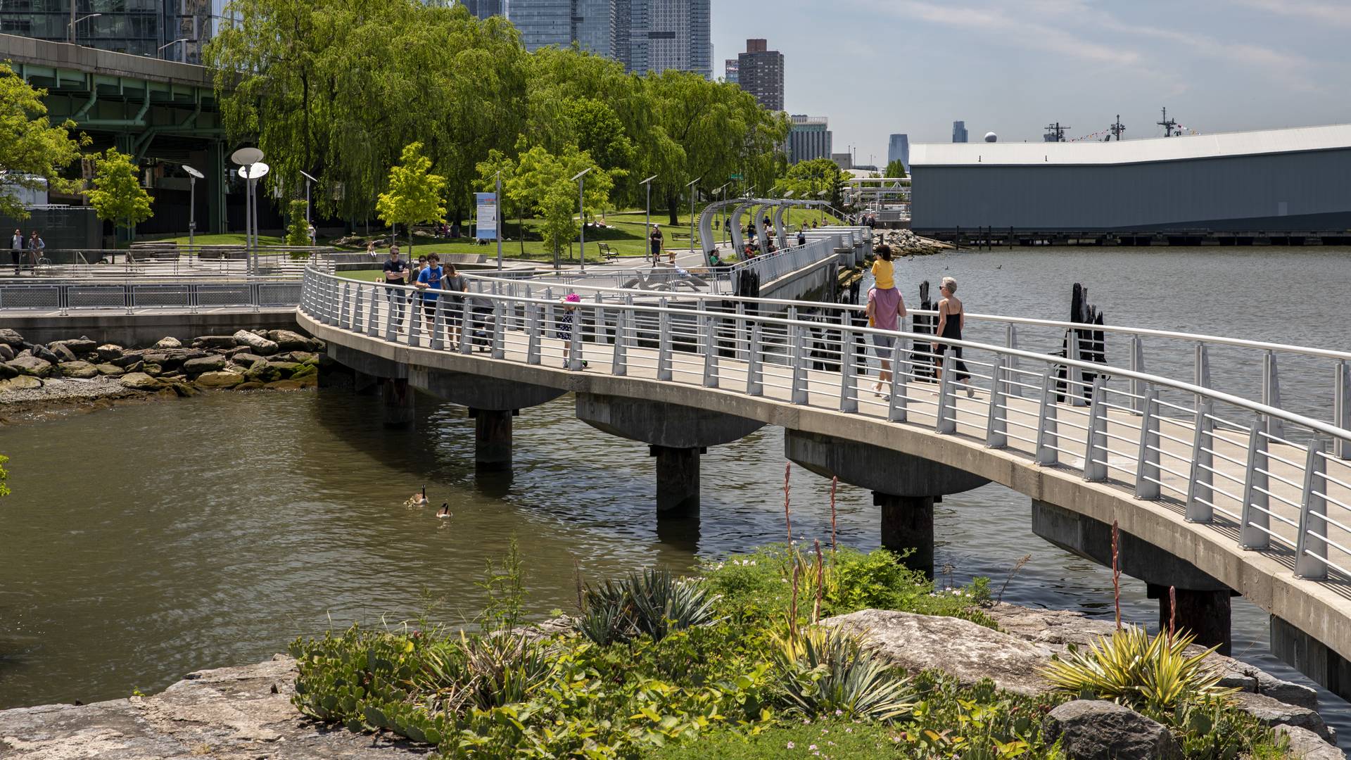
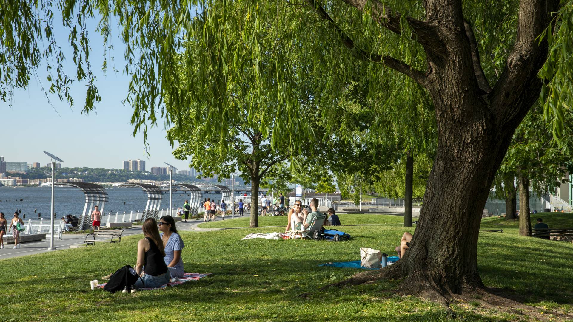
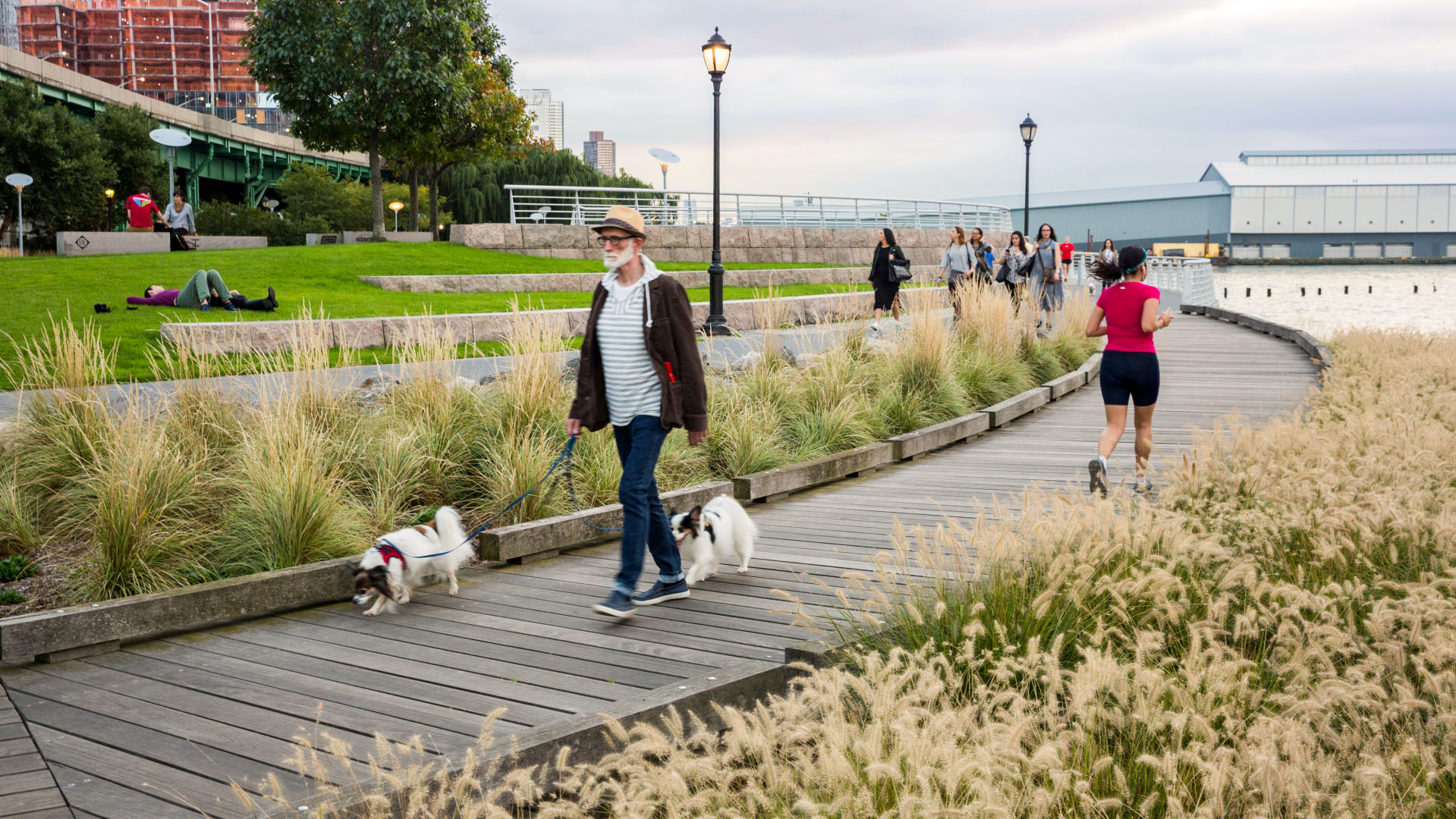
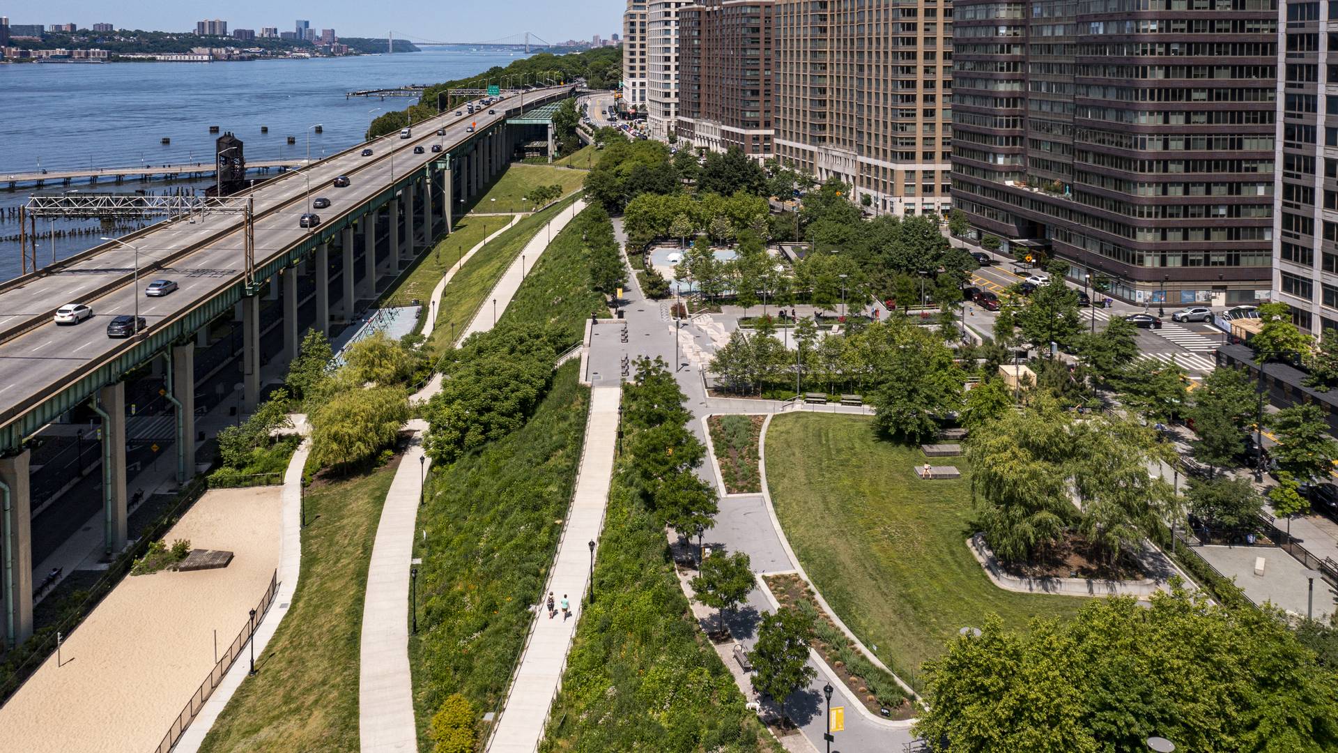
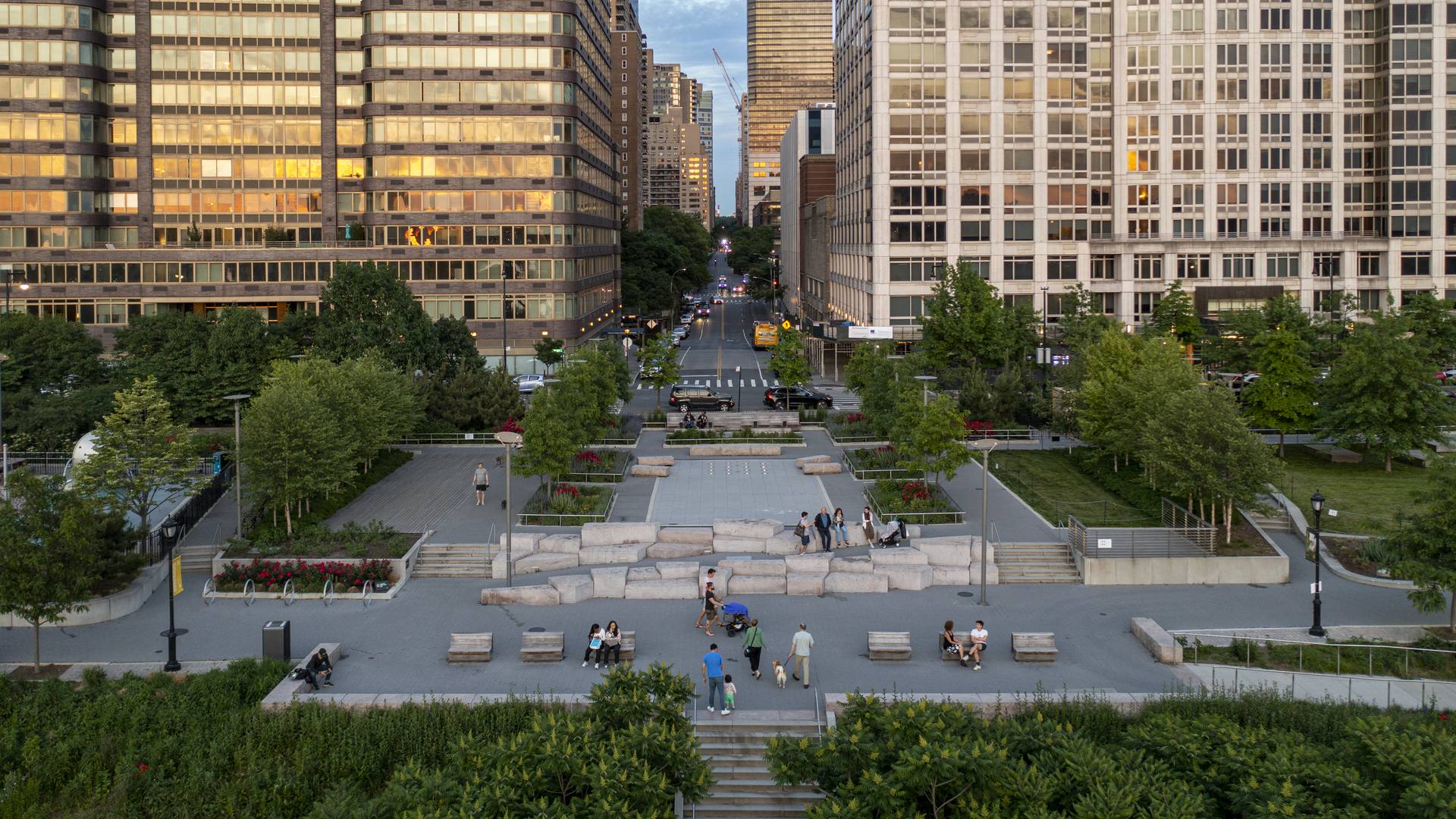
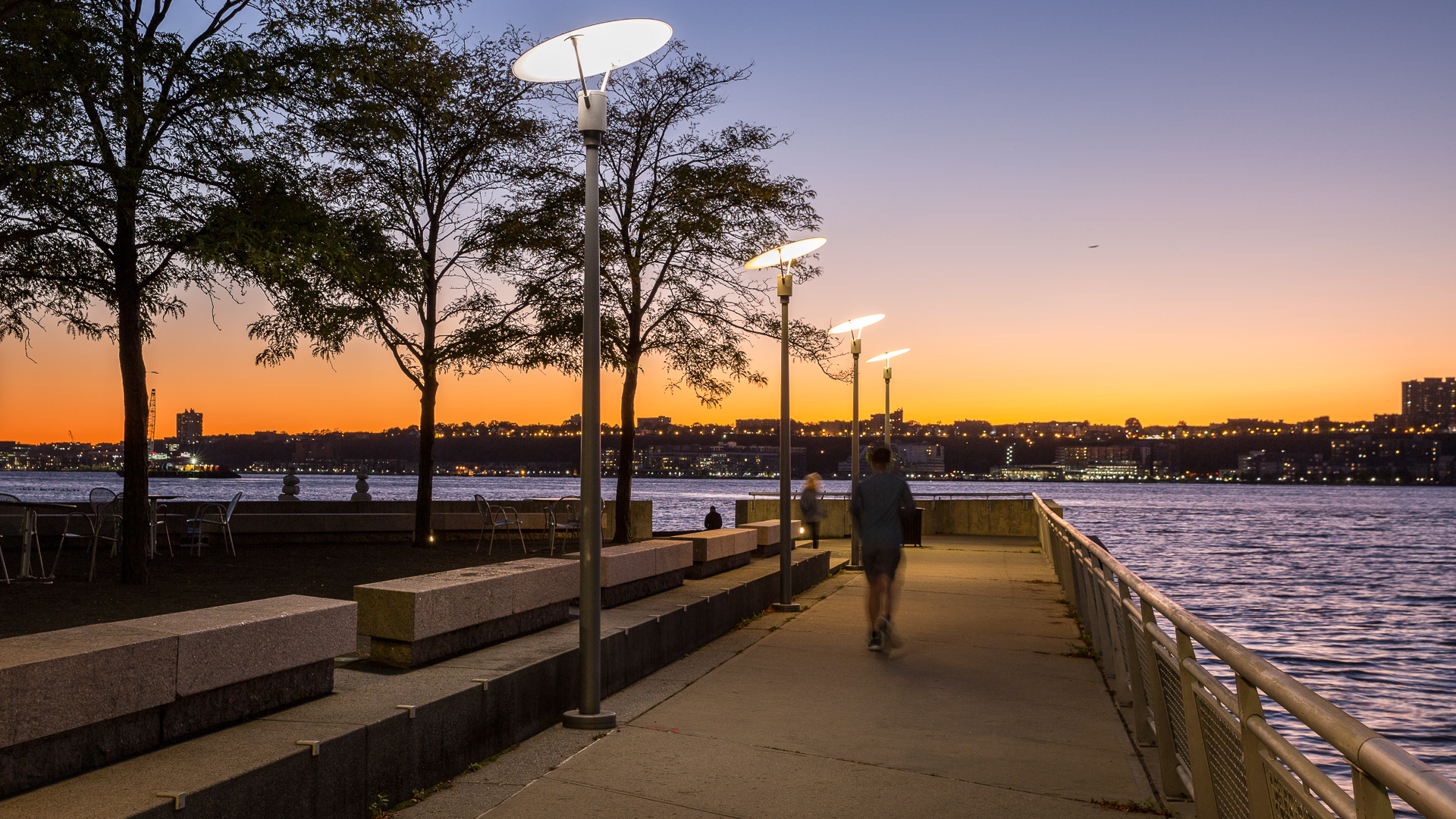
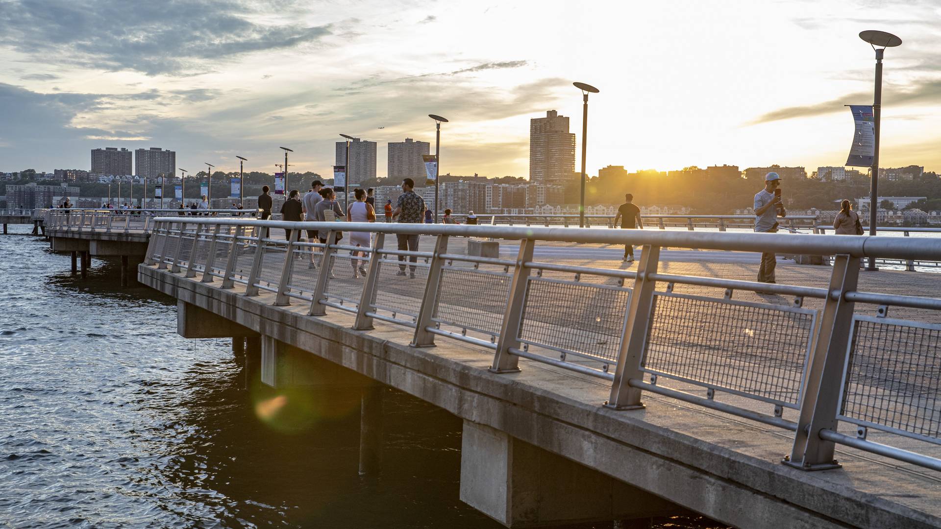
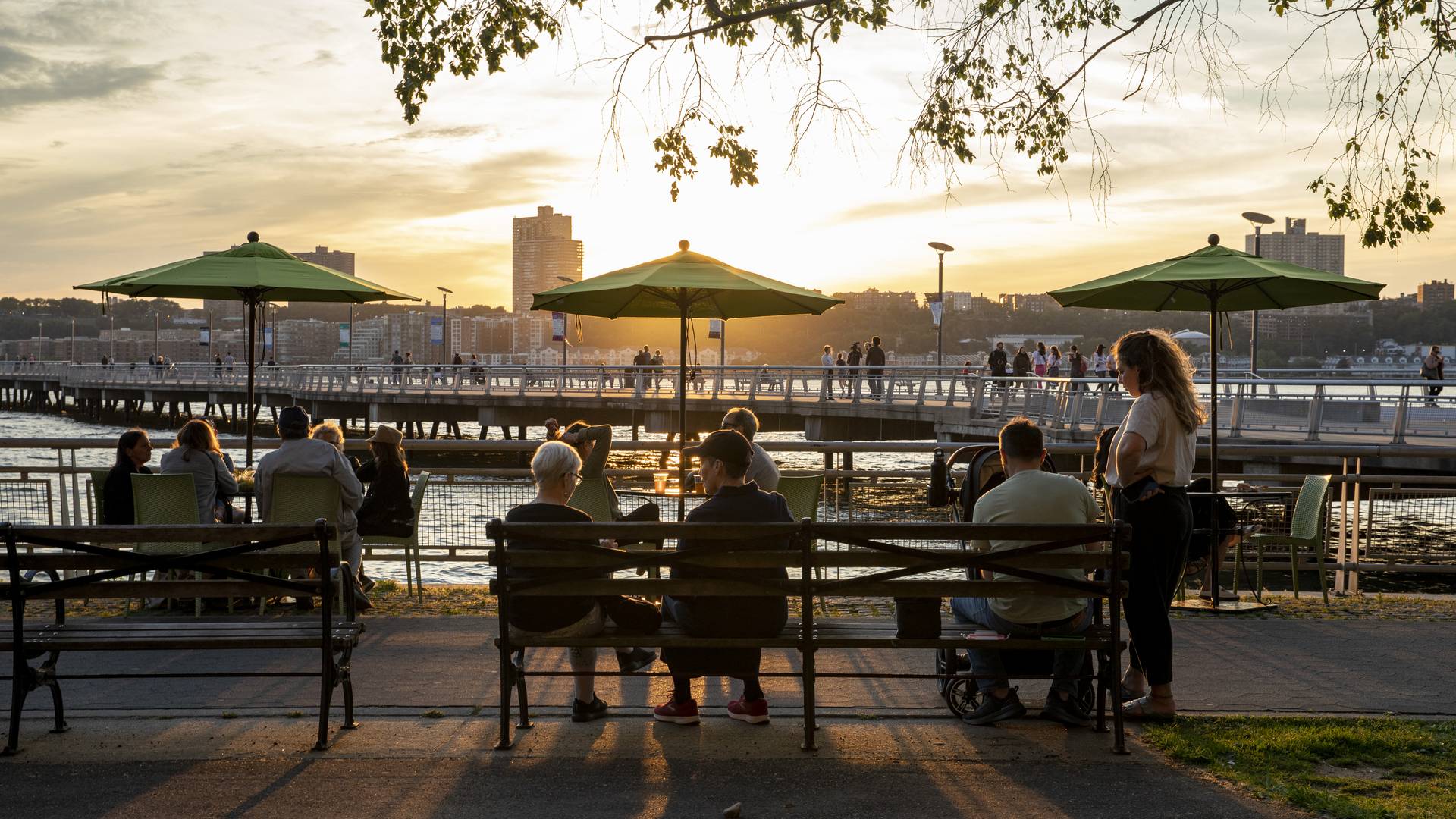
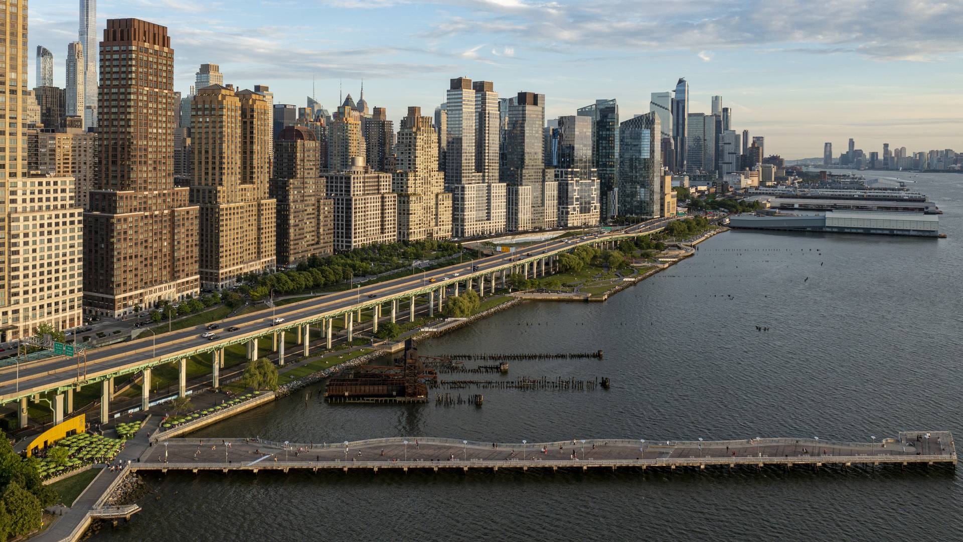
“[Riverside Park South] is a massive, multi-phase project of sweeping ambition and historic scope. Combining new greenspace, new infrastructure, and the renovation of landmark industrial buildings, the ….bold scheme calls for the elevated Miller Highway, long a barrier between the city and its waterfront, to be dropped to grade and covered with a park, affording unimpeded access from upland neighborhoods to their riverfront.
– Damian Holmes, World Landscape Architect
Located on the West Side of Manhattan on the scenic Hudson River shoreline, Riverside Park South is a massive, multiphase project of sweeping ambition and historic scope. Combining new green space, new infrastructure, and the renovation of landmark industrial buildings, the plan – originally devised by Thomas Balsley Associates in 1991 – is an extension of Frederick Law Olmsted’s famed Riverside Park, carrying it a further 13 blocks beyond its traditional southern boundary. At the same time, the scheme calls for the elevated Miller Highway (long a barrier between the city and its waterfront) to be replaced by an underground tunnel topped by lawns and surface streets, affording unimpeded access from new high-rise apartment buildings and upland neighborhoods to the parks and paths along the river.
Ichigaya Forest
“Ichigaya Forest” is the privately owned, publicly accessible, major open space on Dai Nippon Printing Company’s 5.4-hectare new world headquarters in the Shinjuku Ward. Vertical development and production modernization that extends underground was made possible the creation of this 3.2-hectare open space. Over half the site is now planted wi...
Bayou Greenways
As one of the largest U.S. cities, Houston’s sprawling, car-centric infrastructure is underpinned by a vast arterial system of over 2,500 miles of bayous—an untapped ecological feature that could redefine urban life.
Recognizing this potential, the Houston Parks Board worked alongside SWA to develop a visionary plan for nine central bayous as an i...
SIPG Harbor City Parks
This new riverfront development is located on the Yangtze River in the Baoshan District of Shanghai. This area boasts some of the highest shipping activity in the world. However, in recent years this single-function industrial zone has given way, allowing for waterfront parks to develop. Within this historically layered water front the Baoshan Park and Open Sp...
Wusong Riverfront
Kunshan, China, located near Shanghai, has experienced unprecedented population and business growth in recent years which has resulted in environmental degradation and the need for the city to reshape its identity. SWA’s proposal aims to create a new waterfront district providing businesses as well as residents with public amenities and viable open space. The ...


