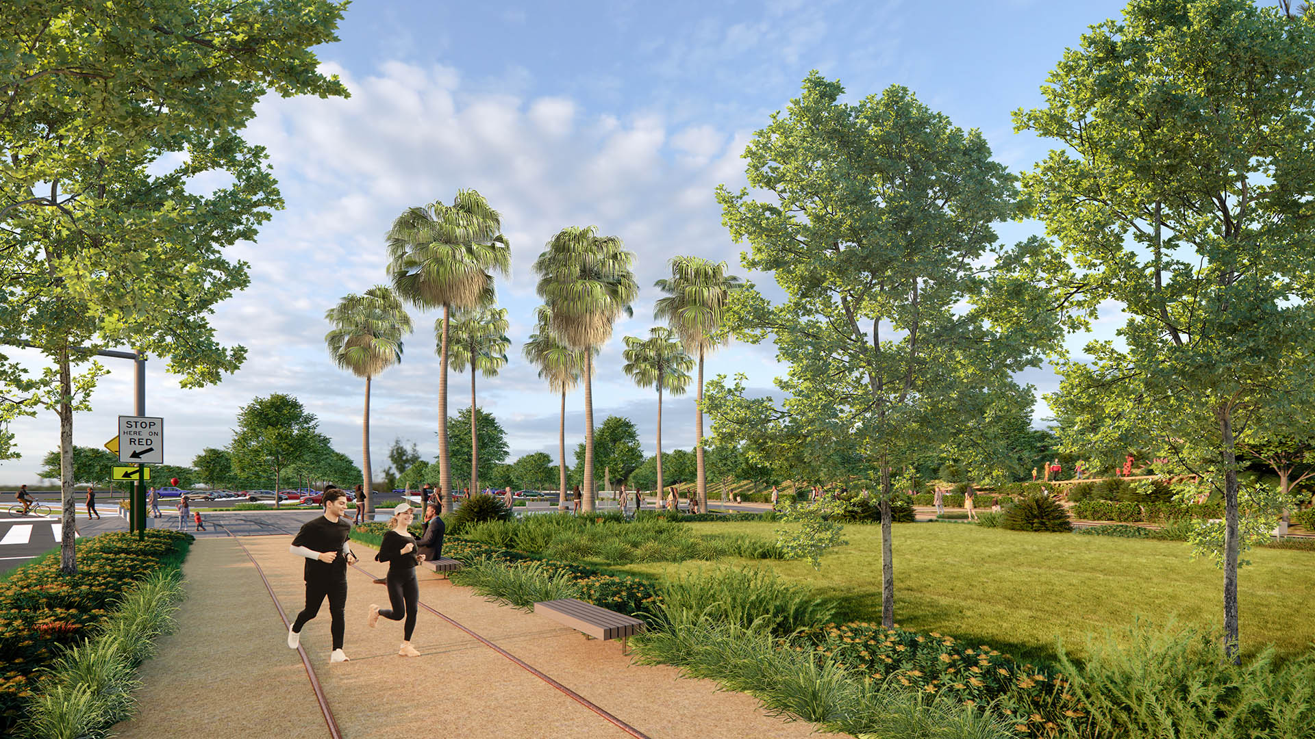
Spanning over 460 acres and 8 linear miles of waterfront, the Port of Los Angeles is among the most important pieces of infrastructure in the Western Hemisphere—the largest container port in the U.S., a linchpin for global logistics, and an industrial hub critical to San Pedro and L.A. County at large.
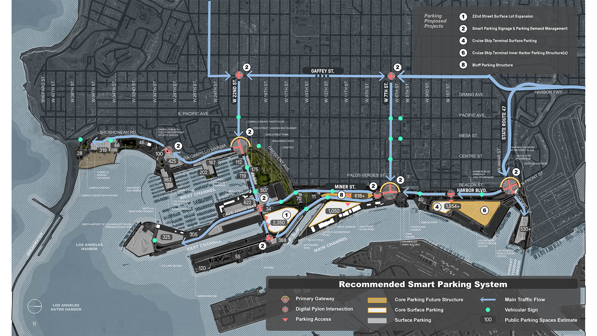
Today, the Port is imagining a more connective, accessible, and resilient future waterfront. Building on nearly $234 million in public access investment over the past two decades, the San Pedro Waterfront Connectivity Plan weaves together multiple goals, presenting strategies to enhance connectivity between the San Pedro shoreline, adjacent neighborhoods, and the wider region.
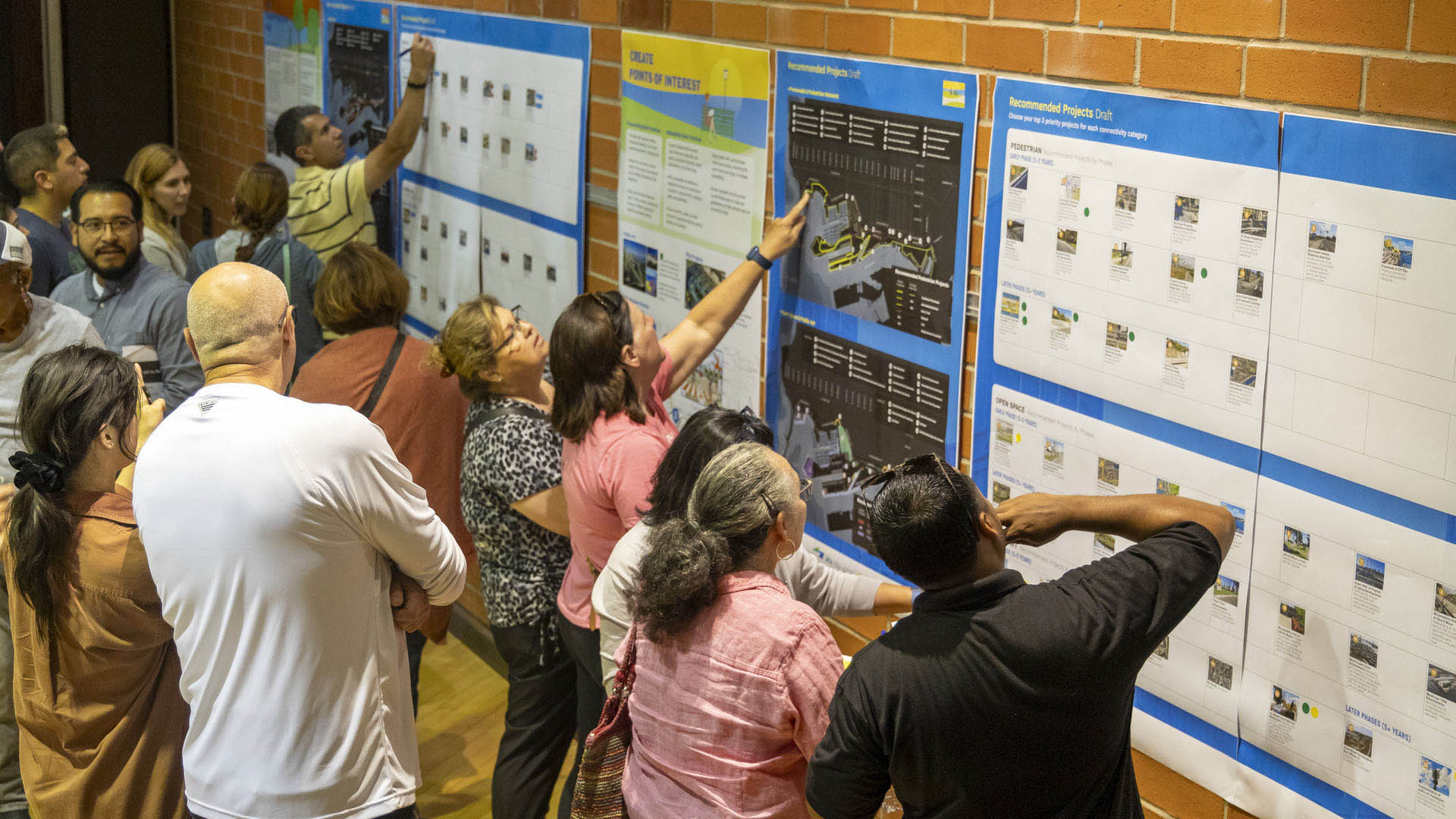
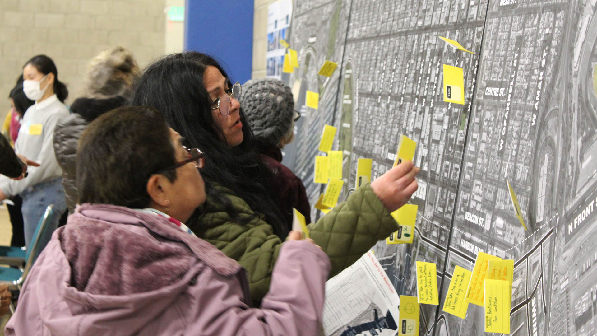
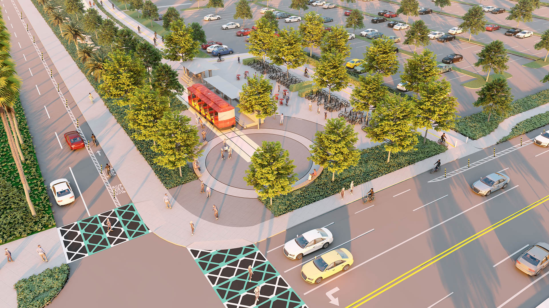
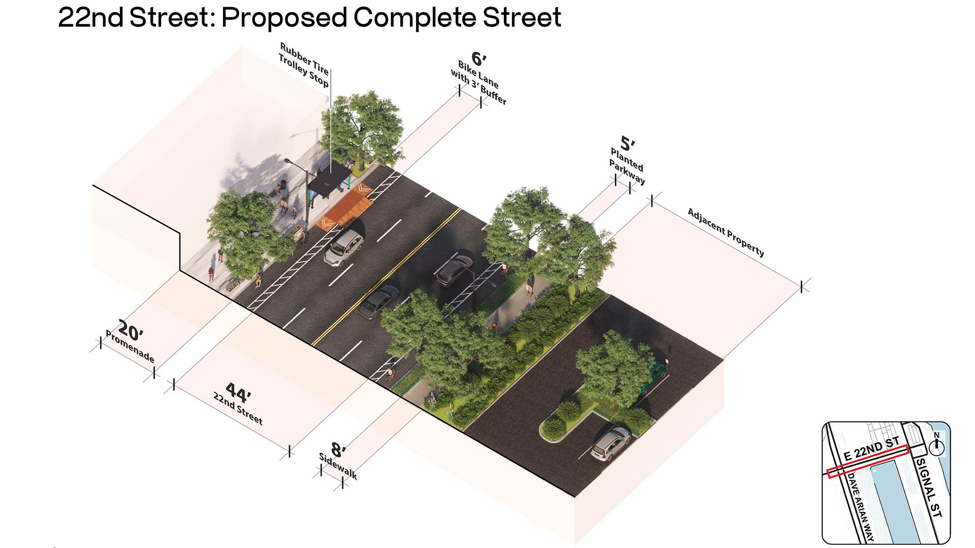
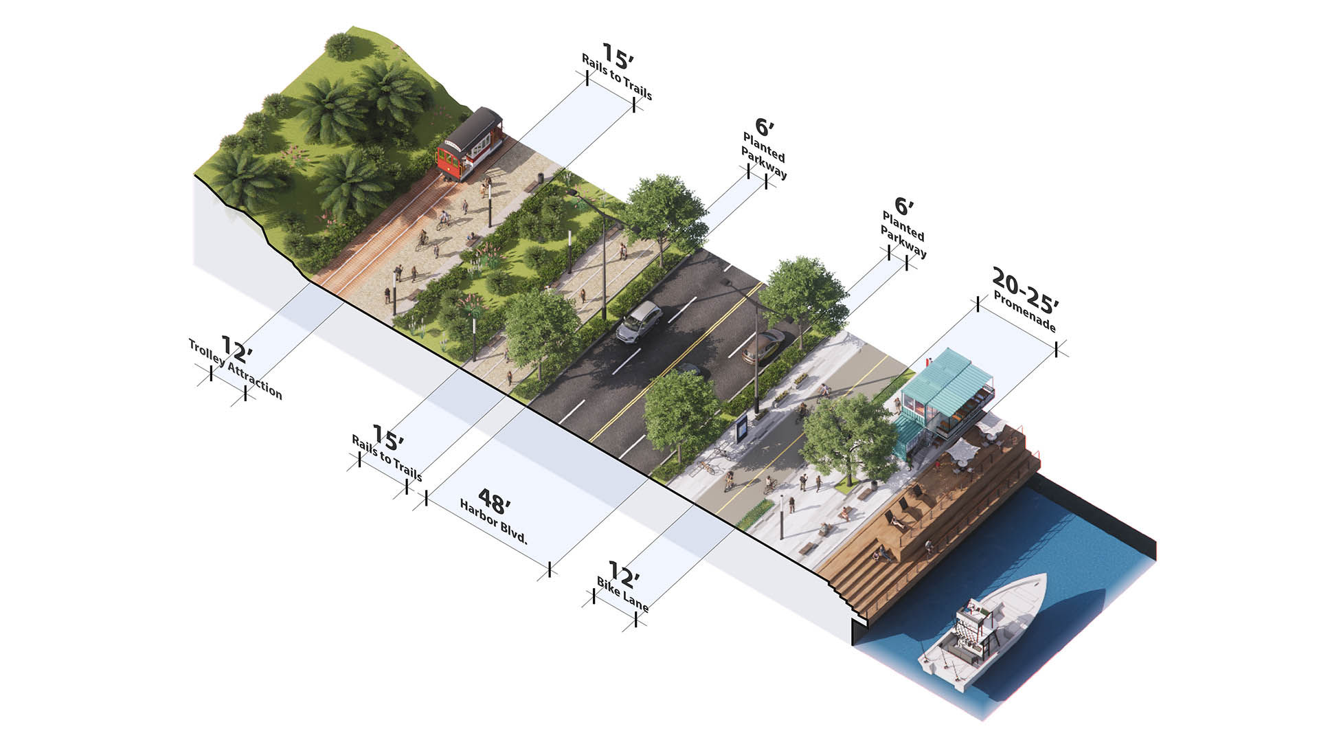
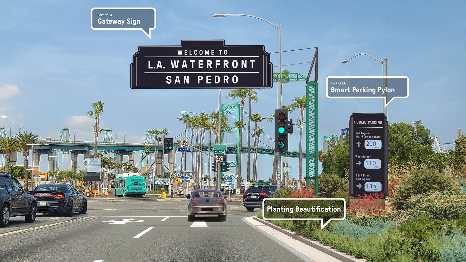
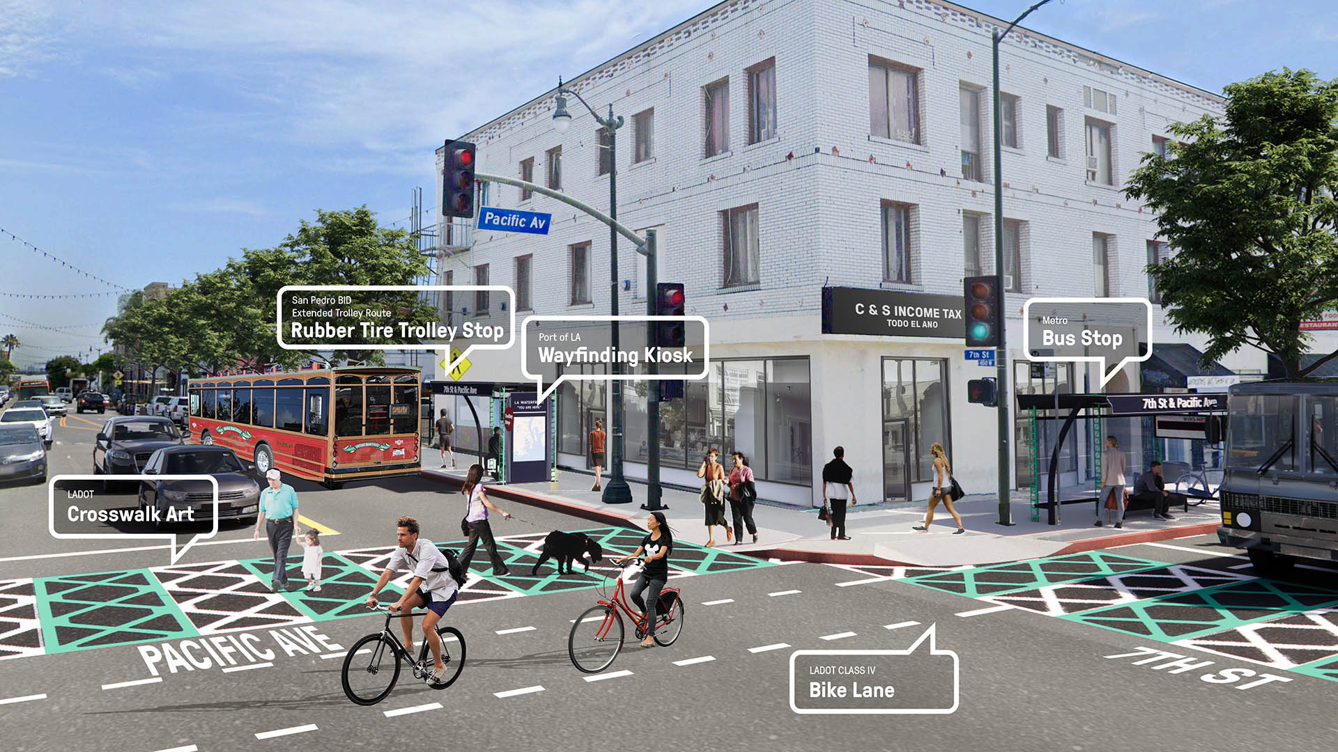
Building on extensive community engagement events including nearly 300 participants, the plan presents a comprehensive set of recommendations spanning vehicular, pedestrian, bicycle, public transit, and water-based mobility across the Port—as well as outlining open space, public art, wayfinding, and recreational opportunities. Direct connections to local climate action policy are woven throughout the plan, positioning the Port to deliver on its long-term sustainability goals in all proposed projects.
Navigating highly complex conditions, the plan brings together fundable, feasible, and resilient strategies to define a cohesive waterfront experience, solve for immediate connectivity issues, and remain adaptive to future use—a framework for a world-class waterfront destination for L.A. and the region.
Learn more:
Changsha Baxizhou Island
Over many decades, public agencies in China have sought to solve growing flooding issues in a defensive way: fortifying and hardening river edges, raising levee heights, and ultimately separating the people from historical connections to the water. With an understanding of river flow processes and volumes and of wetland and native forest ecology, this separati...
Shunde Guipan River Waterfront
SWA participated in a competition reimagining 19-kilometers of the Guipan River waterfront in Shunde, China. While the Pearl River Delta is one of the fastest growing regions of Southern China, one of the many casualties of this growth was the delta itself. Presently, Shunde has a growing flooding problem enhanced by channelizing, condensing, and containing th...
Curtis Hixon Waterfront Park
Curtis Hixon Waterfront Park has been heralded as Tampa’s missing “here” and the crown jewel in the city’s Riverwalk, a bold urban plan conceived to reactivate the Hillsboro River and downtown Tampa. The master plan sets the park as the district’s focal point, positioning the Riverwalk, museums, and park buildings to the park and the waterfront. The plan...
Guicheng Riverfront
After winning a design competition in 2017, SWA undertook two projects within the Guicheng Riverfront park system, a defining blueway and leisure loop belt. The two completed parks – South Bank Waterfront Park and Eco-Island Park – are designed with distinct programmatic elements and characters based on the riverfront’s surrounding land use and urban settings,...


