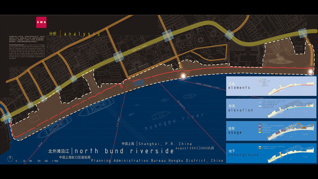
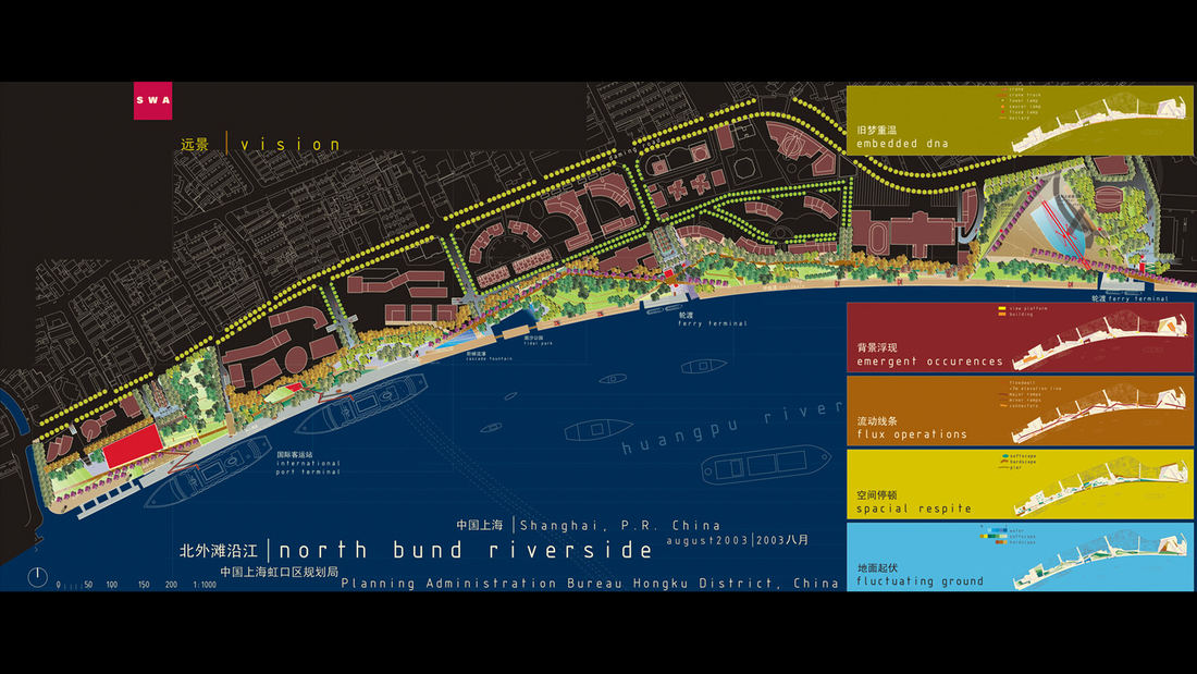
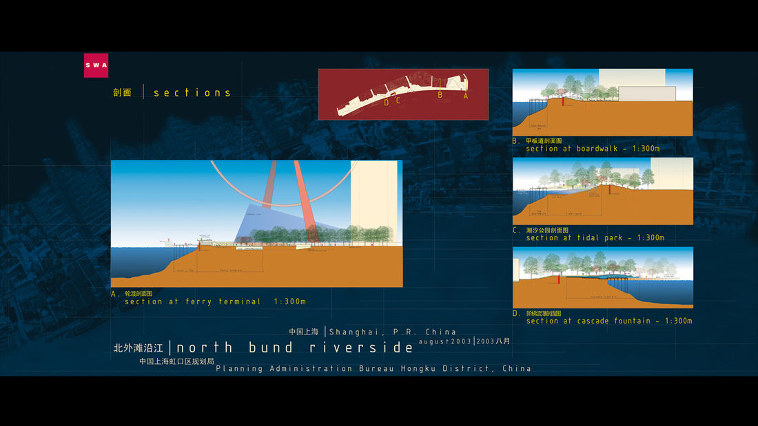
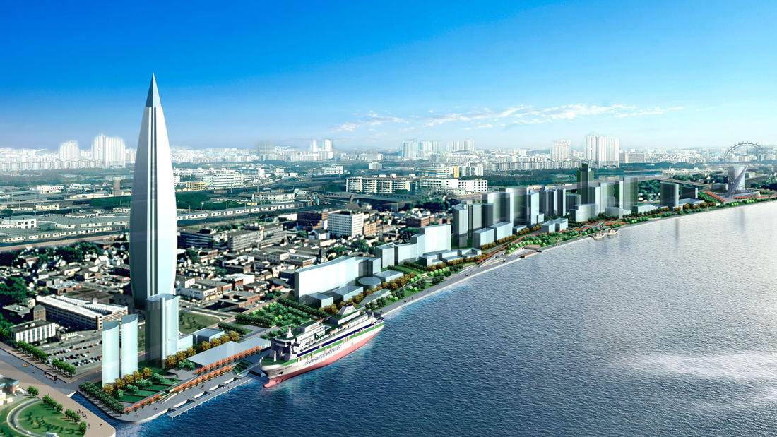
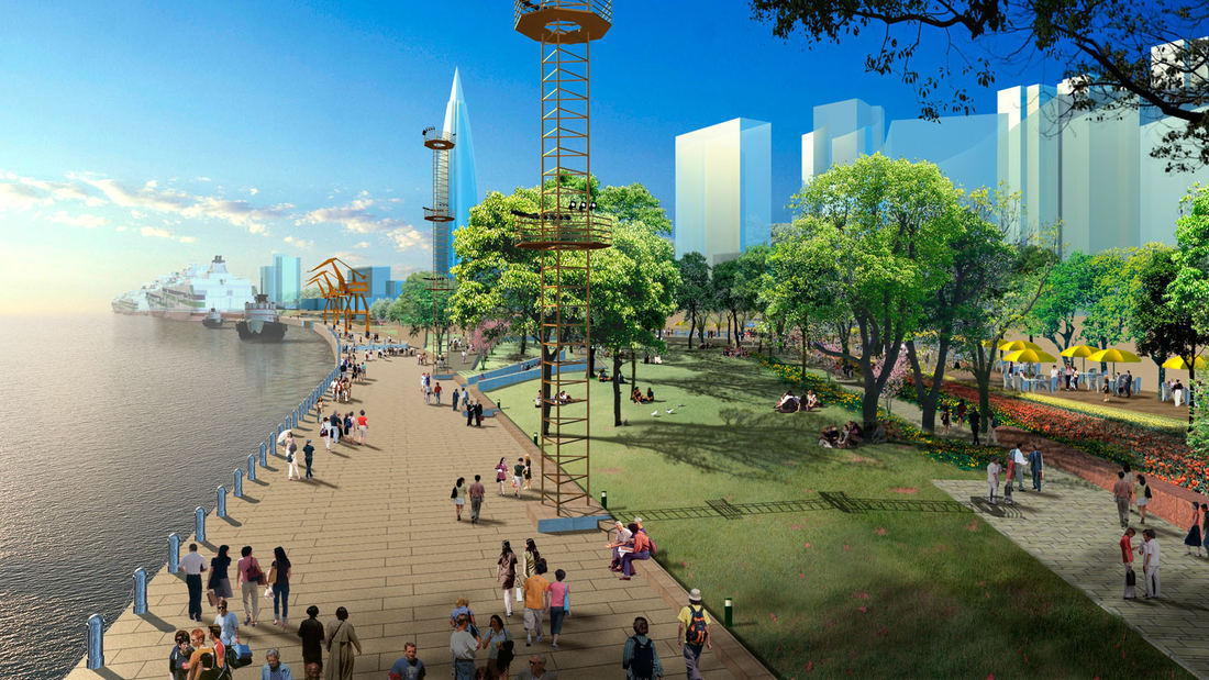
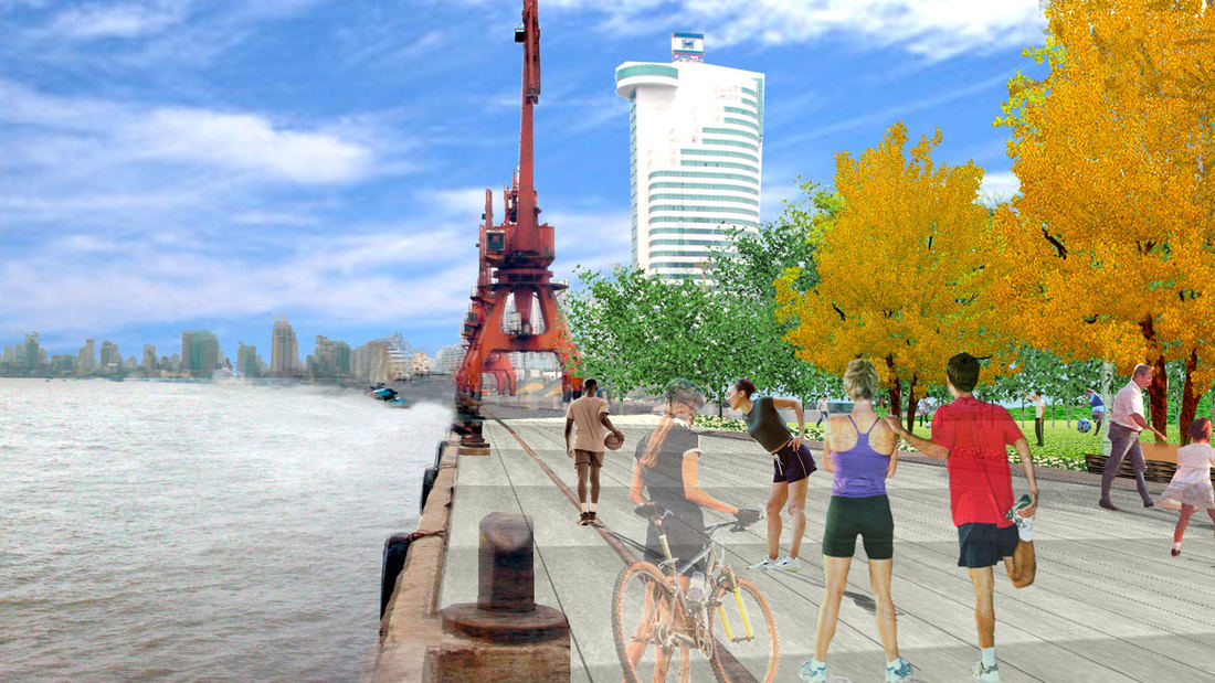
North Bund Riverside Park, located on a prominent 2.1 km waterfront along Shanghai’s Huangpu River, is the first project of its kind in Shanghai to address contiguous waterfront open space. The goal of the associated international competition was to find innovative solutions to transform a post-industrial waterfront with historic elements into a viable active place for the city’s residents. SWA’s winning proposal for the park is concentrated on the concept of ‘fluidity’, referring to the fluid movements of the tidal river, transportation systems and people within a complex waterfront site. The concept seeks to understand the various circulation requirements of landscape and architecture and merge them into a set of graceful, flowing system of pathways, roadways and interconnected spaces. By allowing ongoing uses of passive and active recreation, the design orients itself toward accommodating the flooding condition of the river. Additionally, open plazas and small parks are integrated into the landscape to allow for places of respite for visitors, playing off of the ‘borrowed landscape’ of buildings, ramps and platforms in order to heighten user experience. Embedded vestiges of the past are incorporated into the plan, including design elements such as light poles, bollards, graphics, rails and cranes, and are now used to enhance and connect the past to the present and future. Through an understanding and sensitivity to tidal changes, historic architectural elements, and transportation networks, SWA has created a master plan designed to provide a seamless and integrated landscape that embeds itself in and ultimately enhances the waterfront of Shanghai.
Changsha Baxizhou Island
Over many decades, public agencies in China have sought to solve growing flooding issues in a defensive way: fortifying and hardening river edges, raising levee heights, and ultimately separating the people from historical connections to the water. With an understanding of river flow processes and volumes and of wetland and native forest ecology, this separati...
Shenzhen Bay
Situated just across the bay from Hong Kong, the city of Shenzhen has transformed from a small fishing town of 30,000 to a booming city of over 10 million people in 40 years – and has grown over 200 times its original size since 1980. Along the way, the character of Shenzhen’s bayfront was radically altered. Over 65 km2 of marsh and shallow bay were filled to ...
Suzhou Center
The Suzhou Center is a landmark urban space within the Suzhou Central Business District that embodies the spirit of the city of Suzhou as a gateway for intersecting old and new cultural and historic heritage. The successful combination of high-density development and ecological conservation will allow for Suzhou to transition to a garden city where state-of-th...
Shekou Promenade
A gateway for China’s open-door policy, Shekou has revitalized its fragmented and hazardous coastline into a dynamic six-kilometer promenade that masterfully captures the area’s cultural and natural essence.
The promenade repurposes the disconnected former industrial waterfront into a celebrated open space system with new recreation programs...


