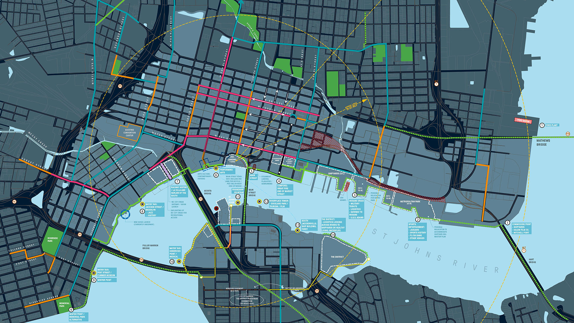
As part of a larger effort to establish its downtown as a center for business and culture during a period of unprecedented growth, the City of Jacksonville was in need of a design and investment strategy for its underused waterfront along both banks of the St. Johns River. The design team’s approach entails both a large-scale and a node-based strategy, identifying sites of particular opportunity, improving the overall quality of the urban fabric, and establishing an urban design and wayfinding strategy that improves connections to the Brooklyn and Riverside communities.
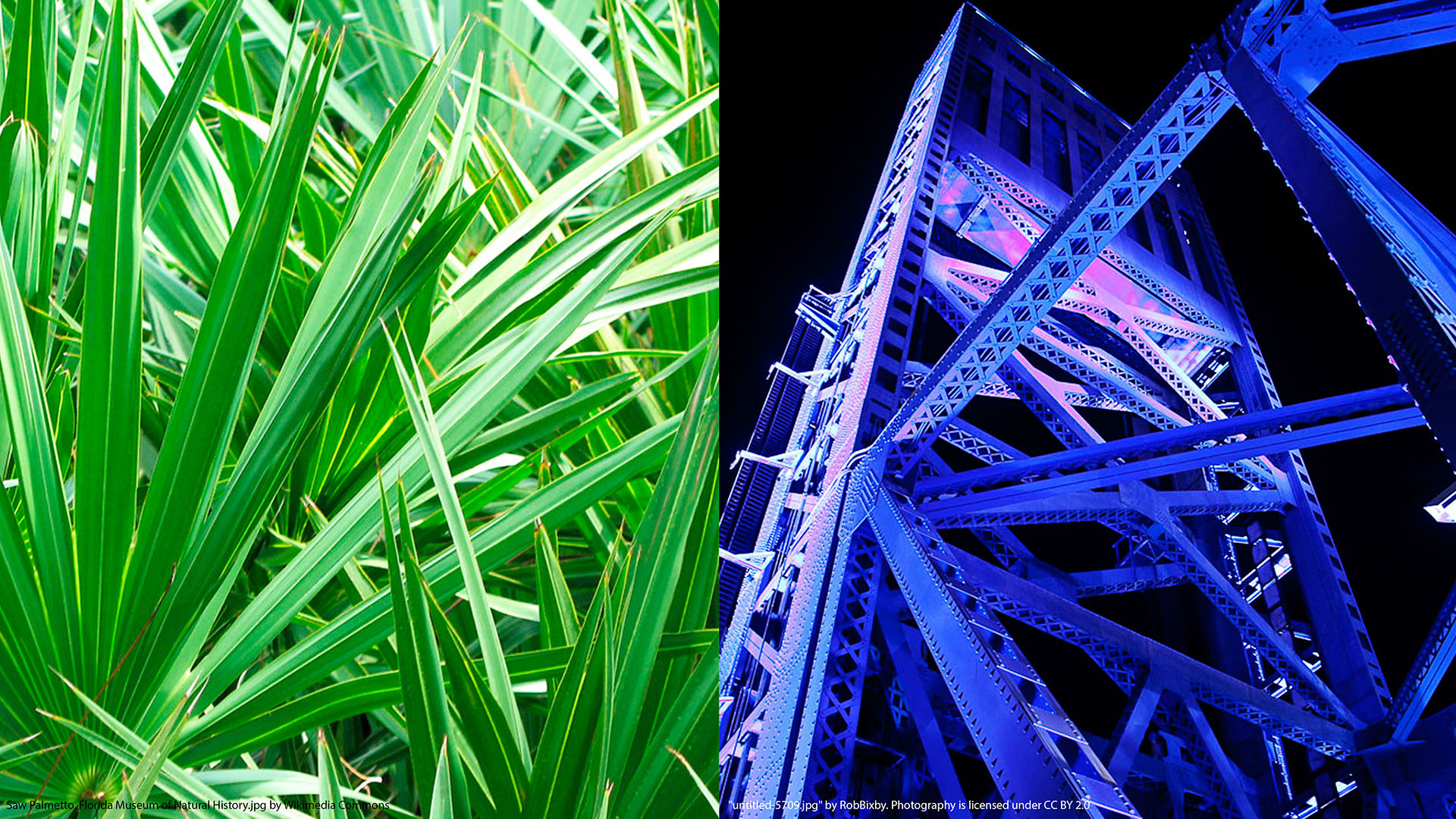
The large-scale vision sets forth design guidelines for the river’s North and South Banks in a “kit of parts” for upgrades to the built environment. This includes suggestions for wayfinding systems, outdoor lighting, hardscape materials, and planting palettes, the implementation of which will strengthen Downtown Jacksonville’s identity and better connect its Riverwalk to inviting public spaces.
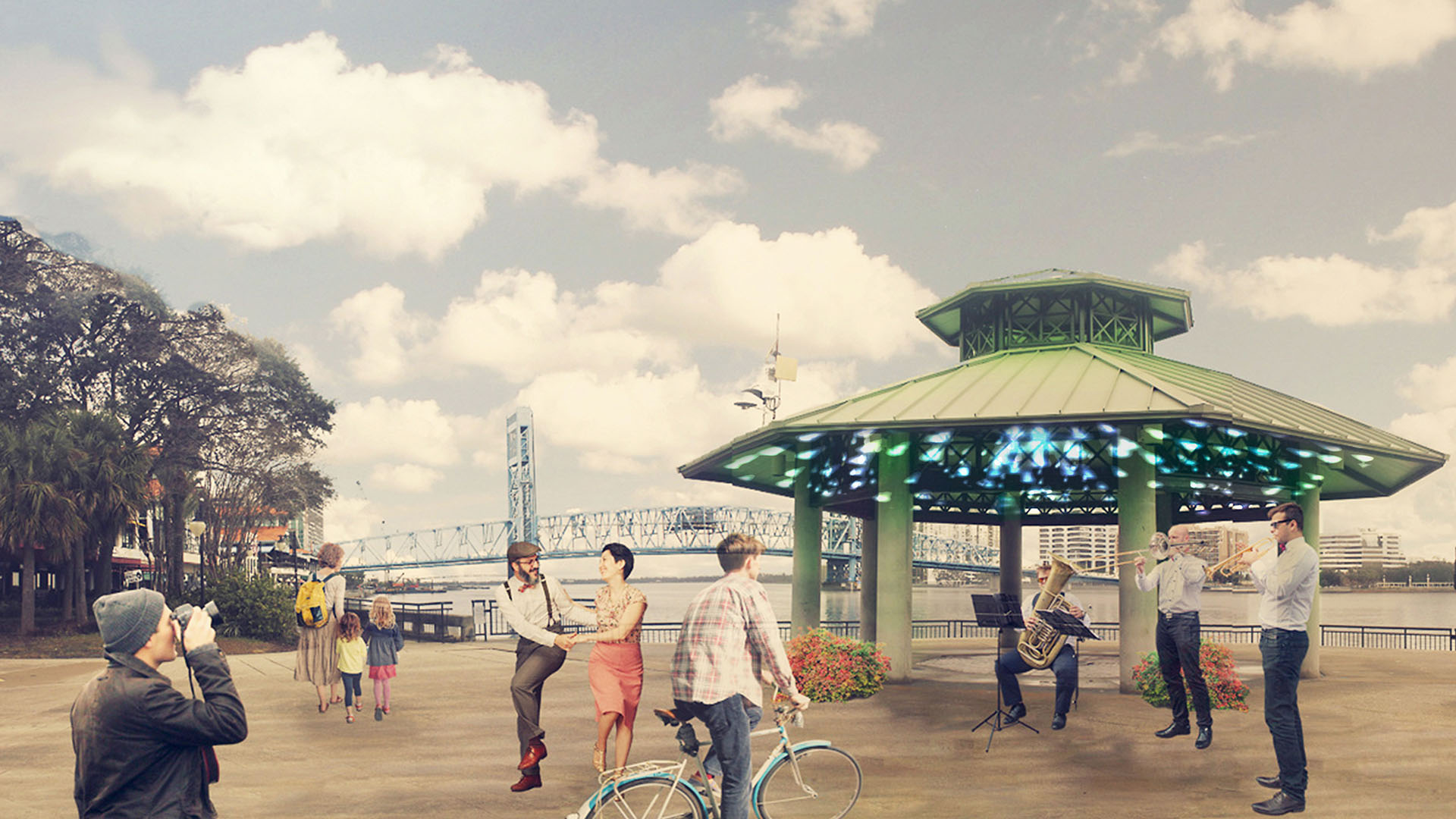
The second strategy highlights a series of nodes near opportunity sites along the waterfront, predetermined by the American Institute of Architects’ Jacksonville Chapter, and connects them through a “Green Ribbon.” These sites were selected for their contributions to Jacksonville’s development throughout the years, and while some are no longer in operation, they represent present-day cultural assets for the city. Designated as either primary or secondary depending on their potential, these nodes were explored for particular design guidance and strategic investment, with initial focus by the design team on Times Union Center for the Performing Arts (Node 6) and Friendship Park (Node 11).
Guicheng Riverfront
After winning a design competition in 2017, SWA undertook two projects within the Guicheng Riverfront park system, a defining blueway and leisure loop belt. The two completed parks – South Bank Waterfront Park and Eco-Island Park – are designed with distinct programmatic elements and characters based on the riverfront’s surrounding land use and urban settings,...
Golden Shoal Riverfront Park
Located along Chongqing’s Jialing River, this new linear public park offered unique challenges: a 30-meter annual river fluctuation, steep topography, and low-impact maintenance of a continuous riparian corridor. Adjacent new urban development, with attendant needs for green space, called for a flexible and resilient approach to the park’s landscape and infras...
Embankment Square
The Embankment Square is located along the east bank of the Huangpu River in Shanghai. The project consists of landscape areas in three office parcels and one waterfront park parcel. The view of the site is remarkable, looking toward the landmark skyscrapers of Lujiazui Financial Center, Nanpu Bridge, the Bund, and the Minsheng CBD.
The design concept c...
Xinyang Suo River
SWA recently completed a master plan for a 36 km length of the Xingyang Suo River located in Xinyang, China. Located on a site at the confluence of an elaborate network of waterways, the River has served as a transportation system for the movement of goods, services and people between Xingyang, Beijing and the coastal cities to the Southeast. This has transfor...


