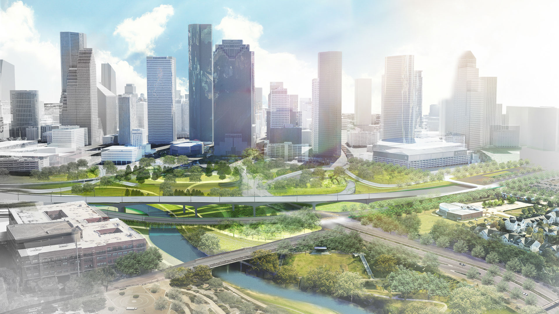
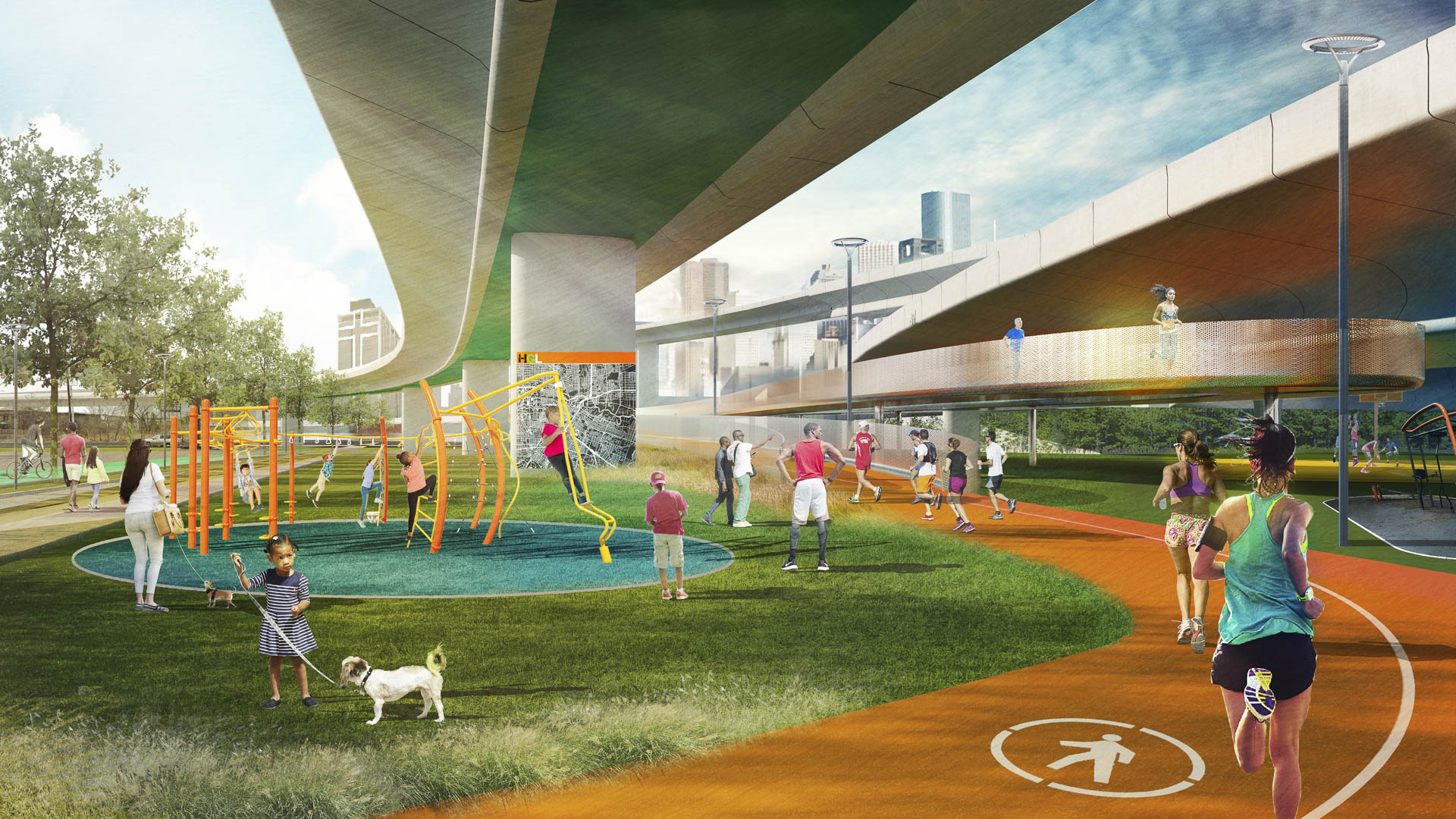
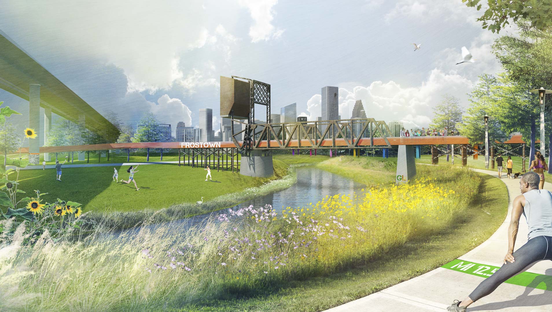
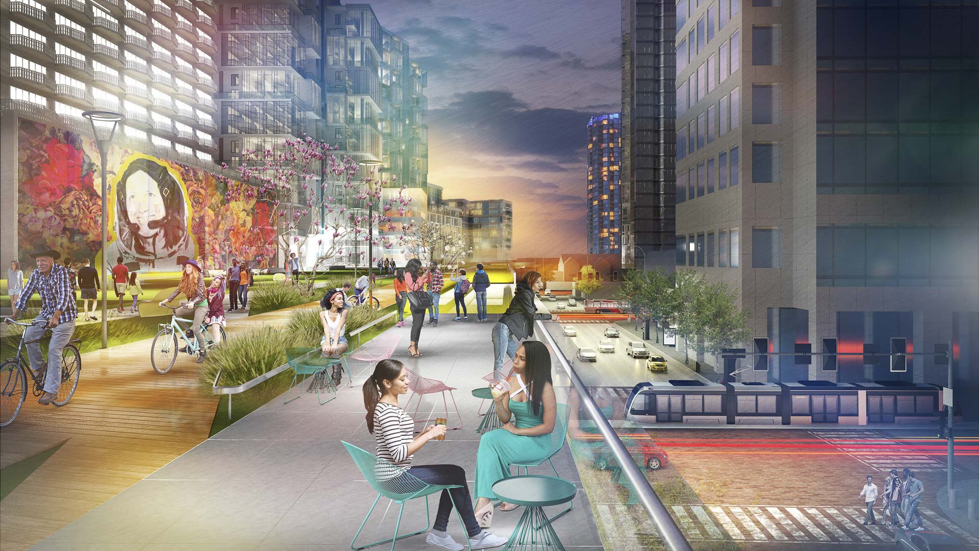
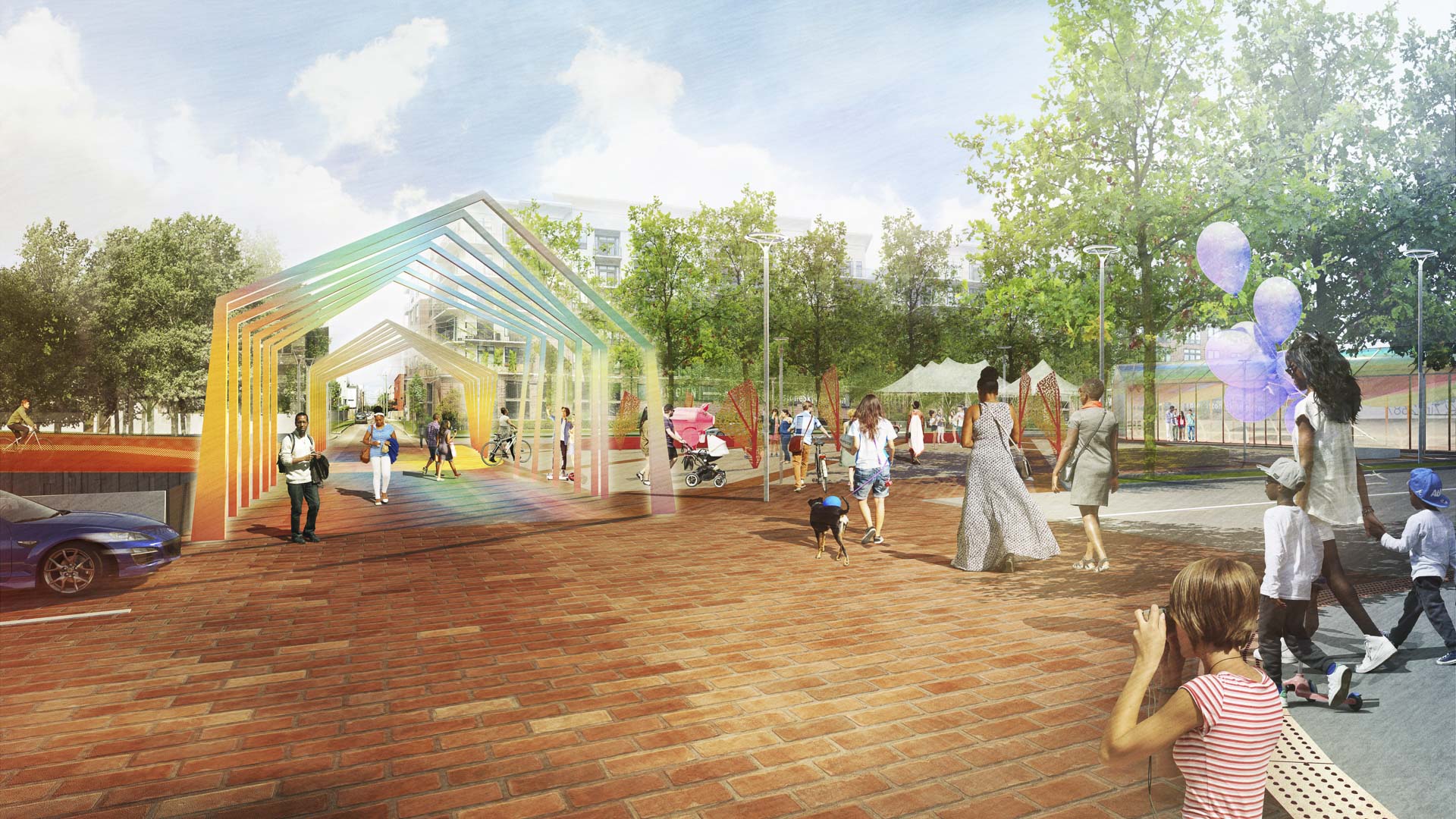
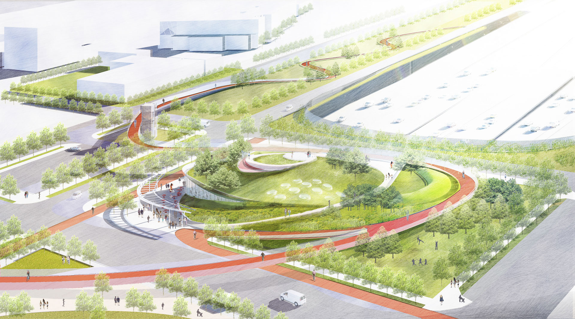
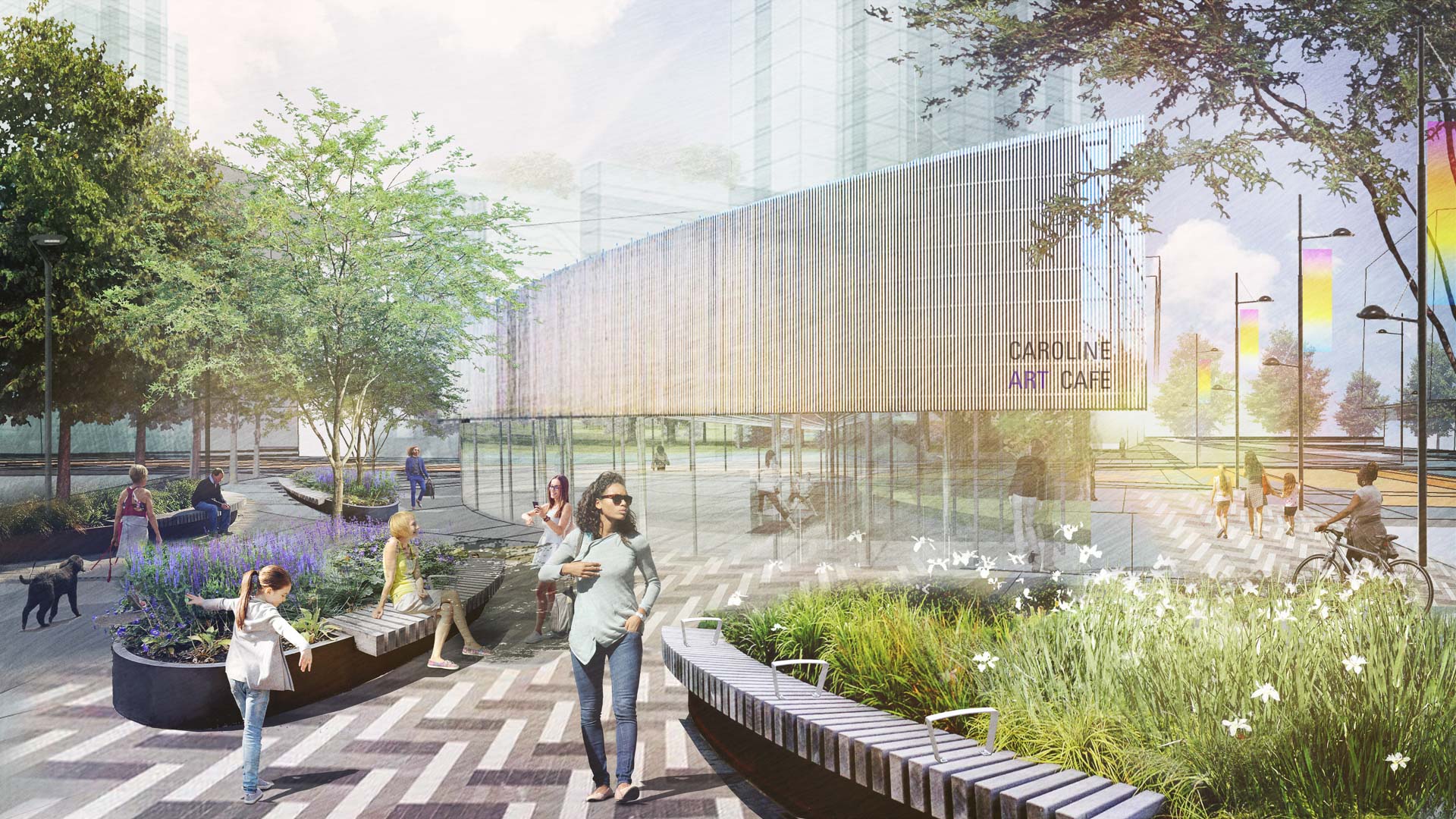
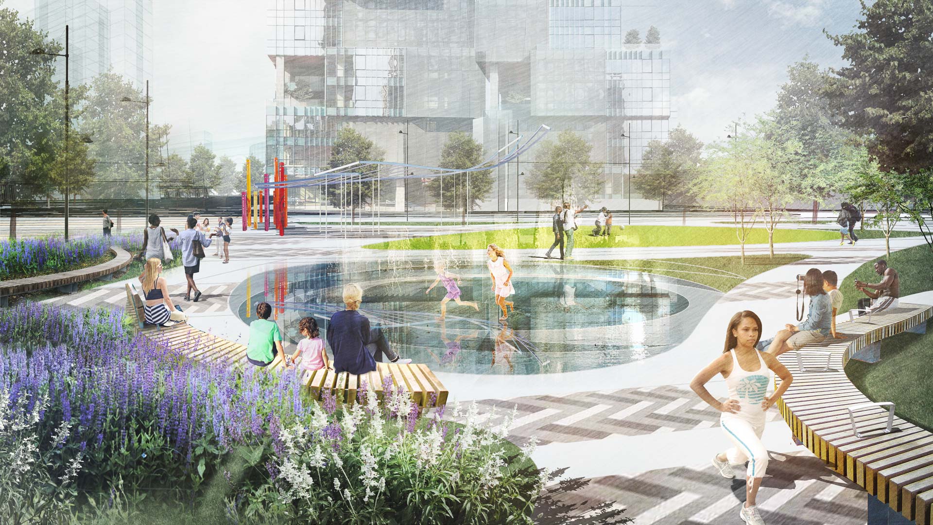
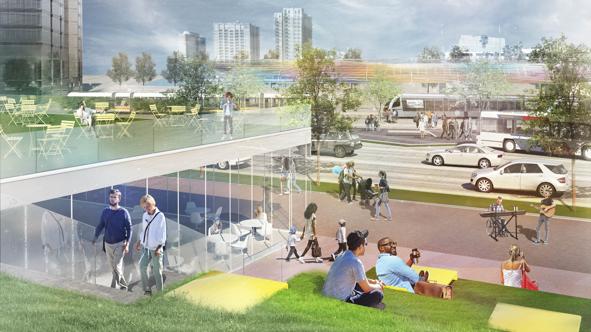
With the coming expansion and realignment of the highways around Downtown Houston, SWA identified the opportunity to enact a bold vision: a multi-use branded connectivity system that will leverage the immense reconstruction investment. SWA’s concept creates a continuous pedestrian loop over, under, and around the downtown highway system, thus redirecting the unpleasant experience and appearance of the freeway infrastructure into unique pedestrian-scale experiences while creating meaningful exchanges among neighborhoods and urban districts. The loop re-imagines the civic commons by artfully negotiating topography, land use, and natural resources. The renderings aim to demonstrate strategic investment zones that have the potential to initiate development of the Houston Green Loop. These visuals successfully served as a tool for communicating possibilities and investment value to the mayor’s stakeholder committee, which is comprised of prominent city officials, entrepreneurs, and philanthropists. As one example of a sustainable gesture along the Loop, at Frostown Crossing, the design proposal creates an outdoor amenity along a detention pond that is activated by the restoration of a historic bridge.
Houston’s Gateway Art Bridges : I-59/69 Beautification
As a city dominated by freeway infrastructure, Houston will be reconstructing portions of its iconic freeways in the near future. This created an opportunity for SWA to reclaim the Houston Interstate experience with a temporary art installation that provides a bold pop of color celebrating Houston’s diversity at eight key threshold bridges along the I-59/69 co...
Hokkaido Ballpark Master Plan
This project includes a new ballpark for Hokkaido Nippon-Ham Fighters, the surrounding landscape, and surrounding future development parcels, in Hokkaido, Japan. Inspired by the stadium’s architecture, which responded to a building type original to Hokkaido, the design incorporates indigenous landscape features, including a 100-year forest and a ravine, while ...
Atlanta Museum of Freeway Art (MOFA)
The freeway is an integral part of the open space of the American City, a series of infrastructural systems that affect the spatial characteristics of our natural and cultural landscapes. The Atlanta Connector Transformation Project is a collaborative effort between the City of Atlanta, Georgia Department of Transportation, Downtown and Midtown to improve the ...
Katy Trail
Katy Trail represents a remarkable resource for the residents of the Dallas Fort Worth region. This project enlivens and makes accessible right-of-way established by the storied, but later abandoned, Missouri-Kansas-Texas (better known as the “Katy”) line, and serves as a unifying element for the surrounding neighborhoods. Katy Trail provides appro...


