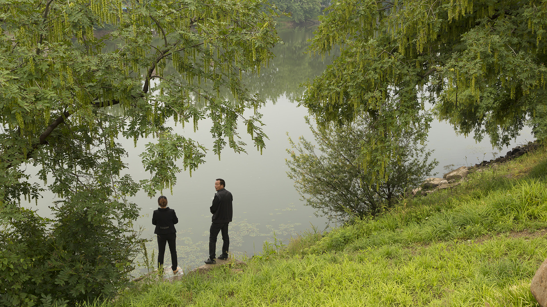
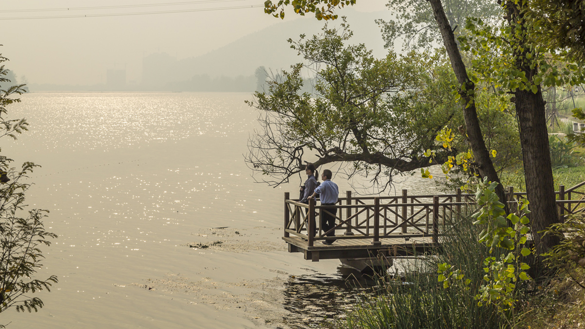
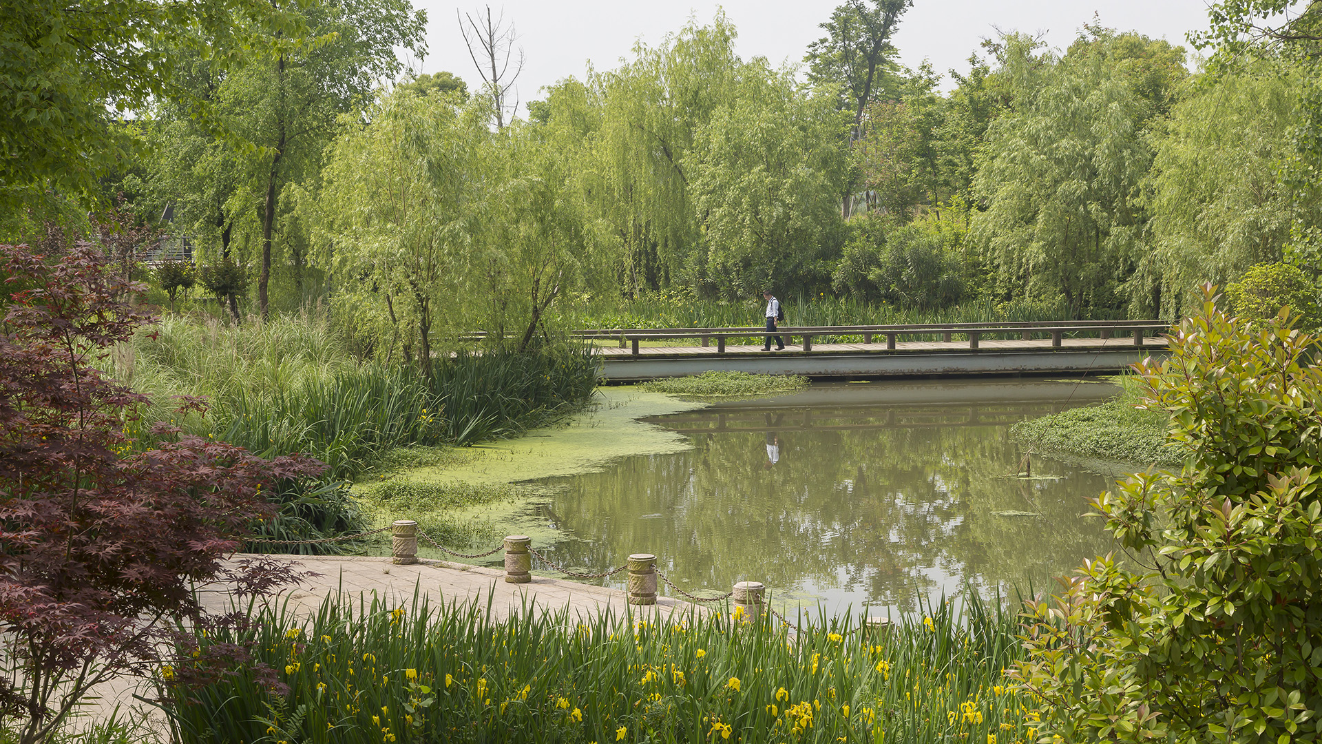
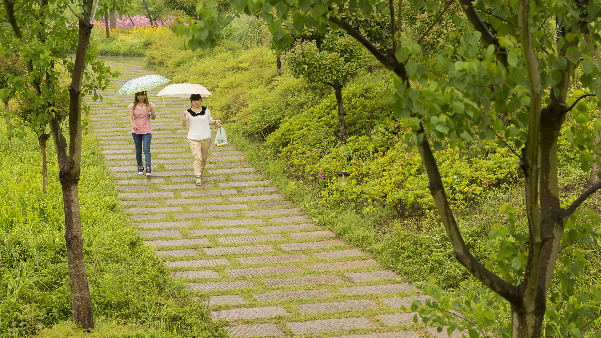
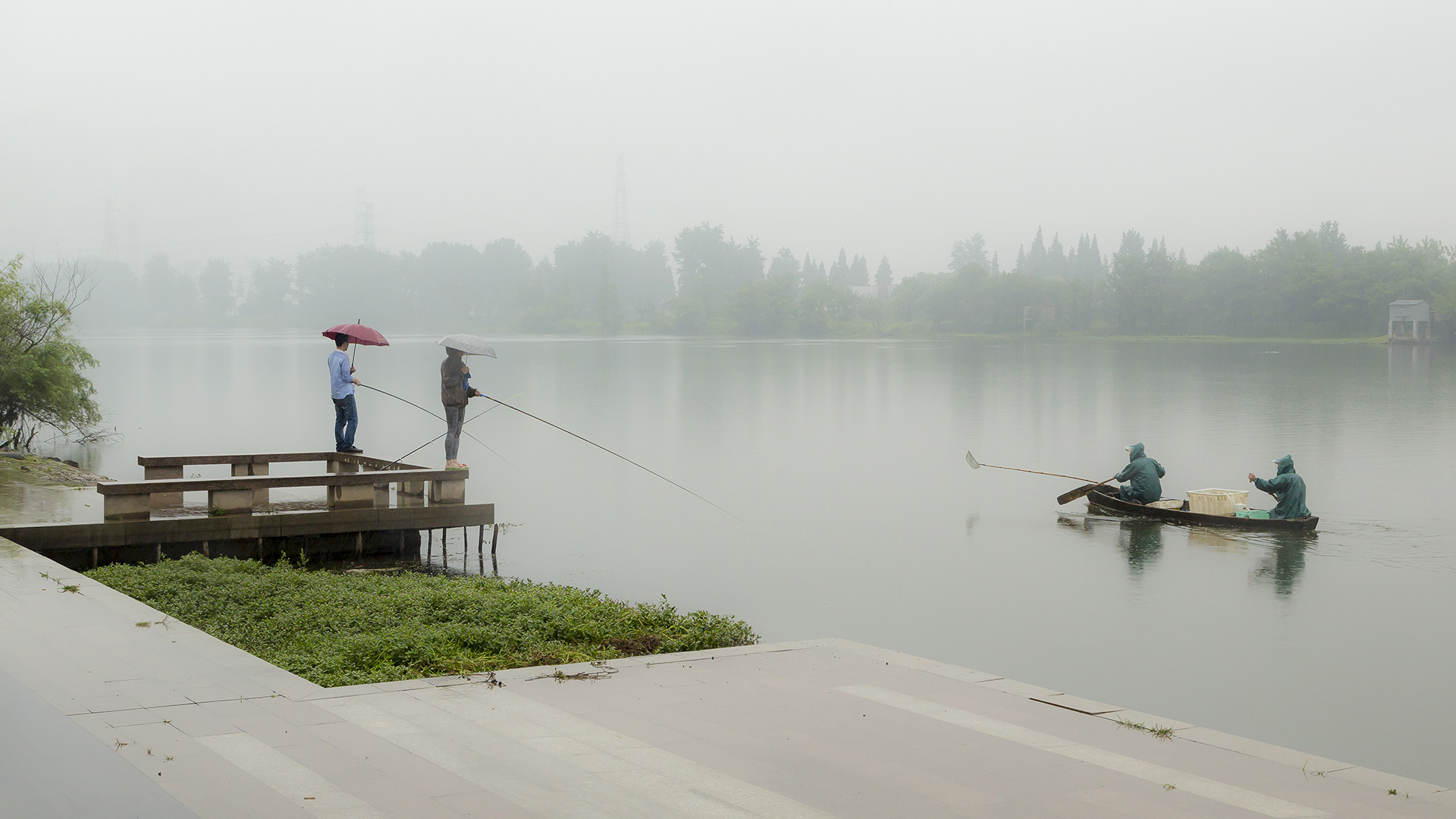
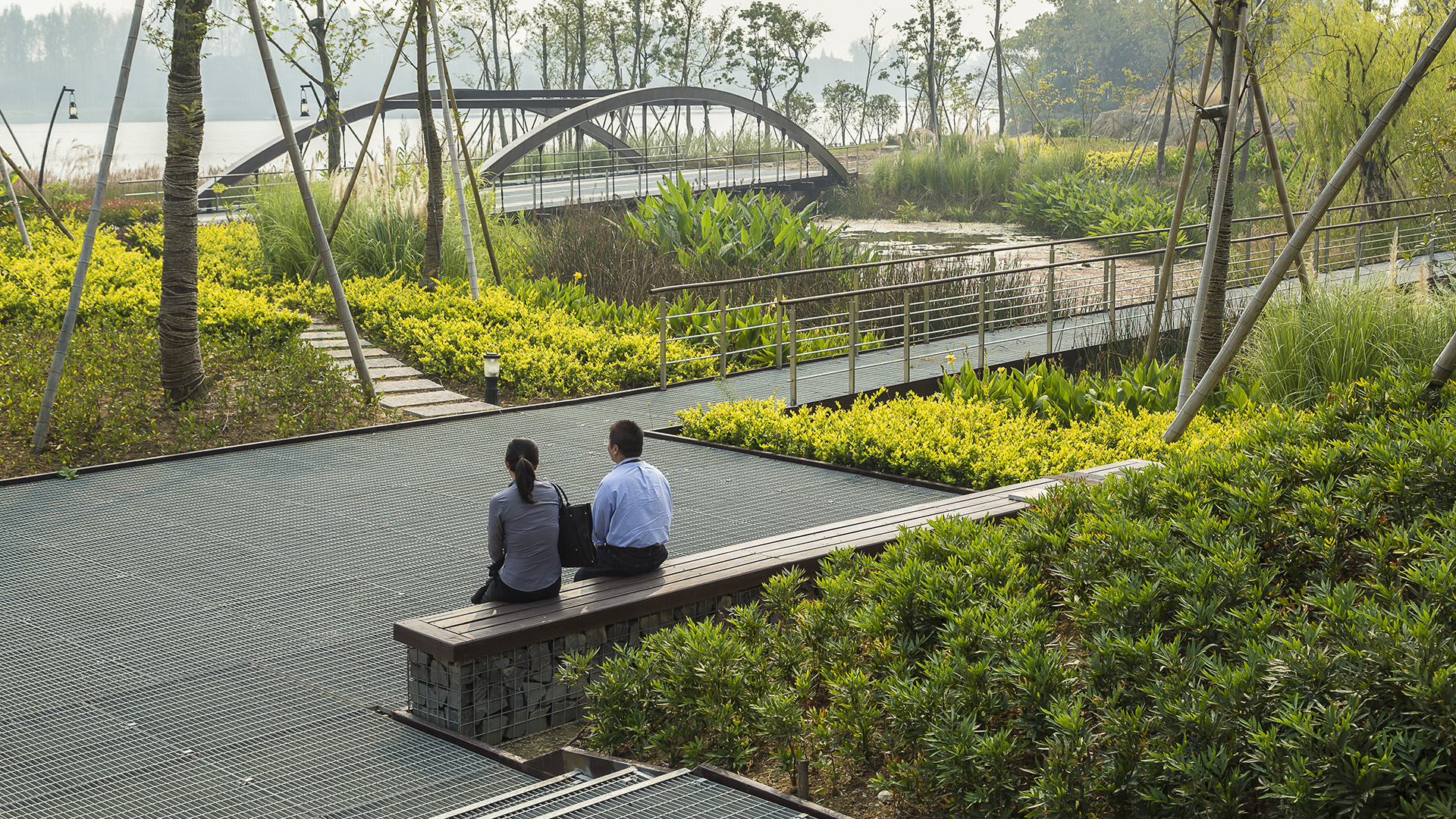
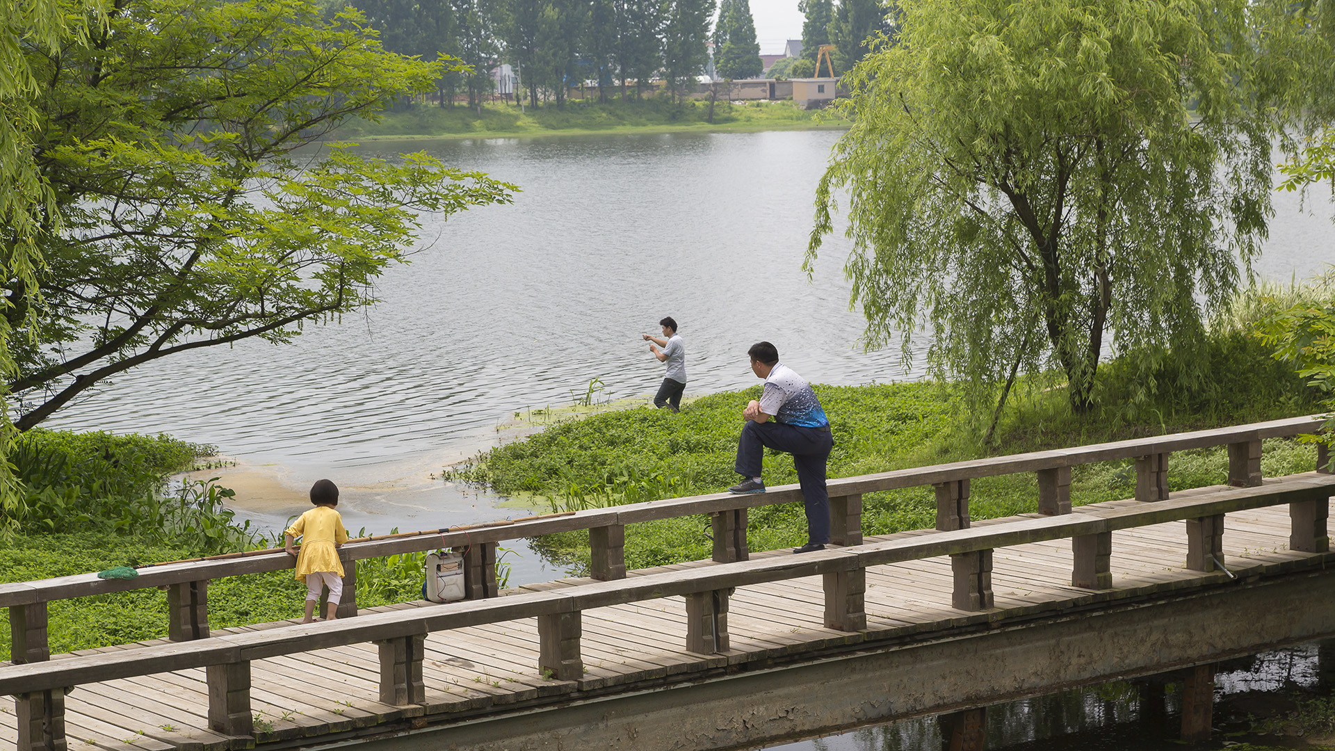
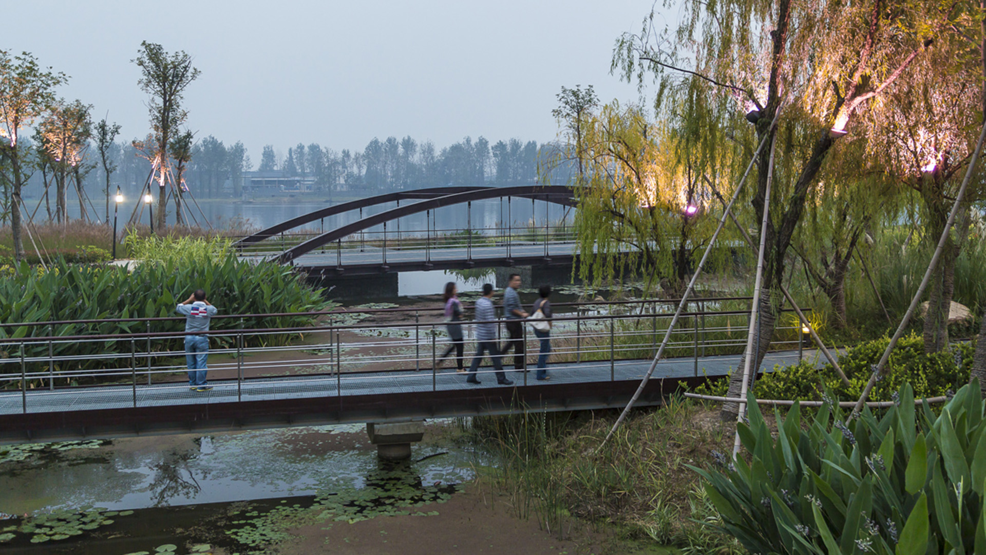
Seizing the area’s reputation for “one of the best mountain and water views in the world,” the natural framework along both sides of the Fuchun River inspires this plan integrating urban spaces with landscape to create a harmonious skyline. Fuyang flourishes with economic prosperity while honoring its vibrant cultural heritage.
The scope includes urban districts along both sides of Fuchun River. This newly modern city has experienced a significant transformation accompanied by rapid commercial and economic development. The famous painting by local artist, Huang Gongwang, “Mountain Life in Fuchun,” displays rolling mountains, verdant forests, rippling river, and spring clouds over the island, as well as the poetic layout of villages within this mountain/water landscape. Using it as inspiration, we derived four mountain/water development principles to control the height, density, and location of urban development as well as to develop preservation and utilization strategies for landscape resources.
Long Beach Shoreline
SWA prepared a land use and urban design plan for six miles of waterfront adjacent to downtown Long Beach. Through a series of meetings with local community stakeholders, we were able to determine the different needs of each district in the plan: of critical importance was the need to preserve valuable open space inland, and to maintain an ecological corridor ...
Riverside Park South
Located on the West Side of Manhattan on the scenic Hudson River shoreline, Riverside Park South is a massive, multiphase project of sweeping ambition and historic scope. Combining new green space, new infrastructure, and the renovation of landmark industrial buildings, the plan – originally devised by Thomas Balsley Associates in 1991 – is an extension of Fre...
Wusong Riverfront
Kunshan, China, located near Shanghai, has experienced unprecedented population and business growth in recent years which has resulted in environmental degradation and the need for the city to reshape its identity. SWA’s proposal aims to create a new waterfront district providing businesses as well as residents with public amenities and viable open space. The ...
Suzhou Center
The Suzhou Center is a landmark urban space within the Suzhou Central Business District that embodies the spirit of the city of Suzhou as a gateway for intersecting old and new cultural and historic heritage. The successful combination of high-density development and ecological conservation will allow for Suzhou to transition to a garden city where state-of-th...


