

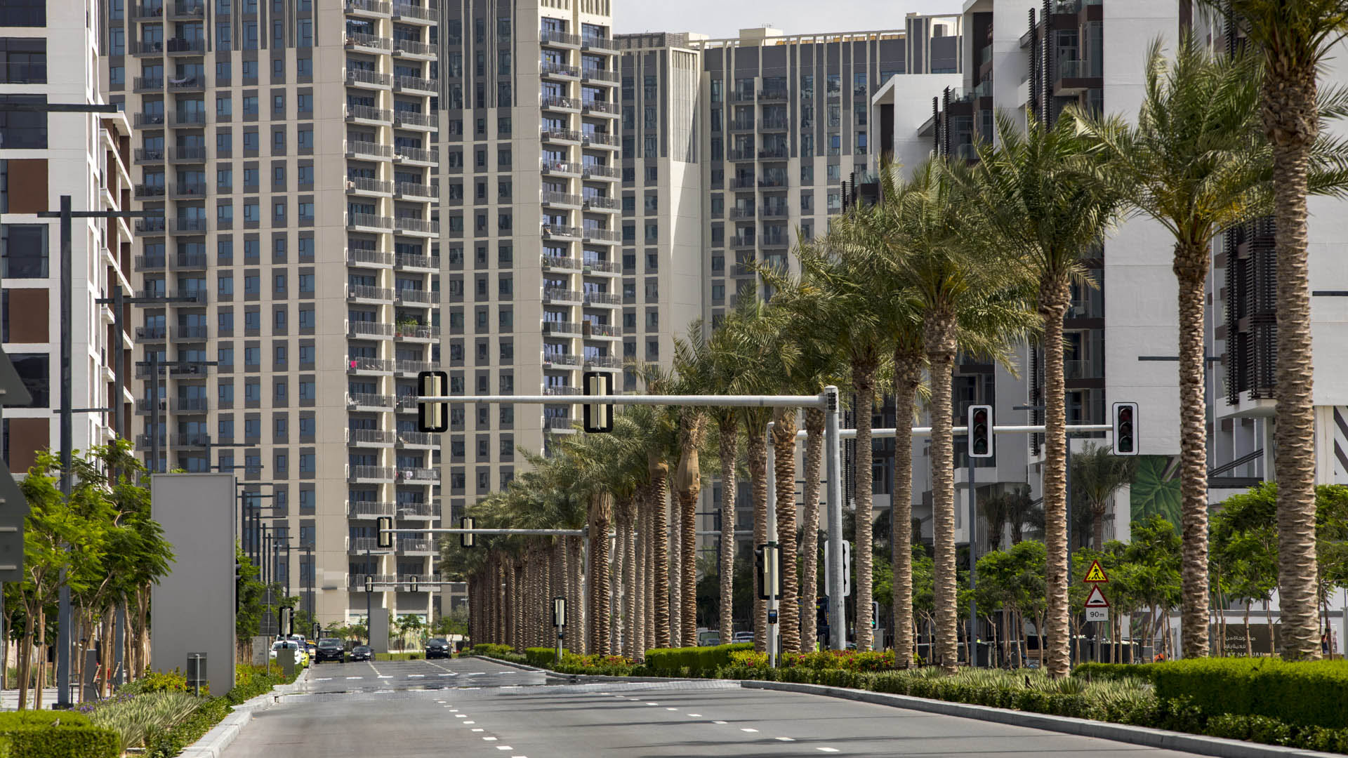
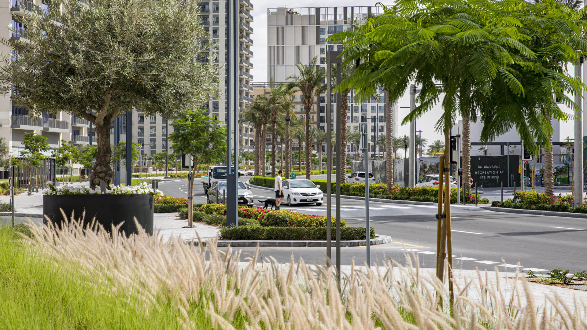
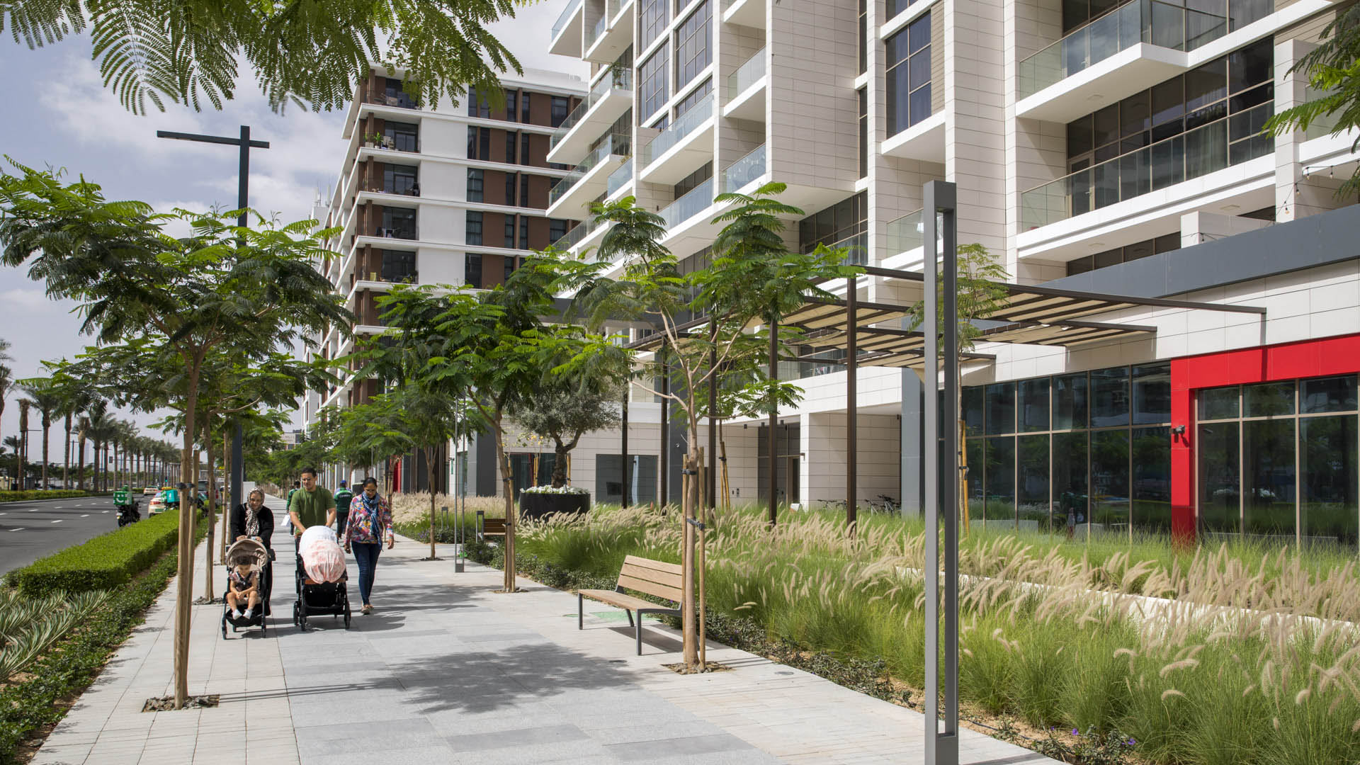
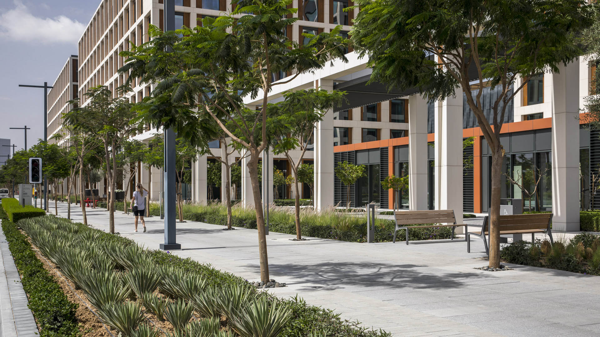
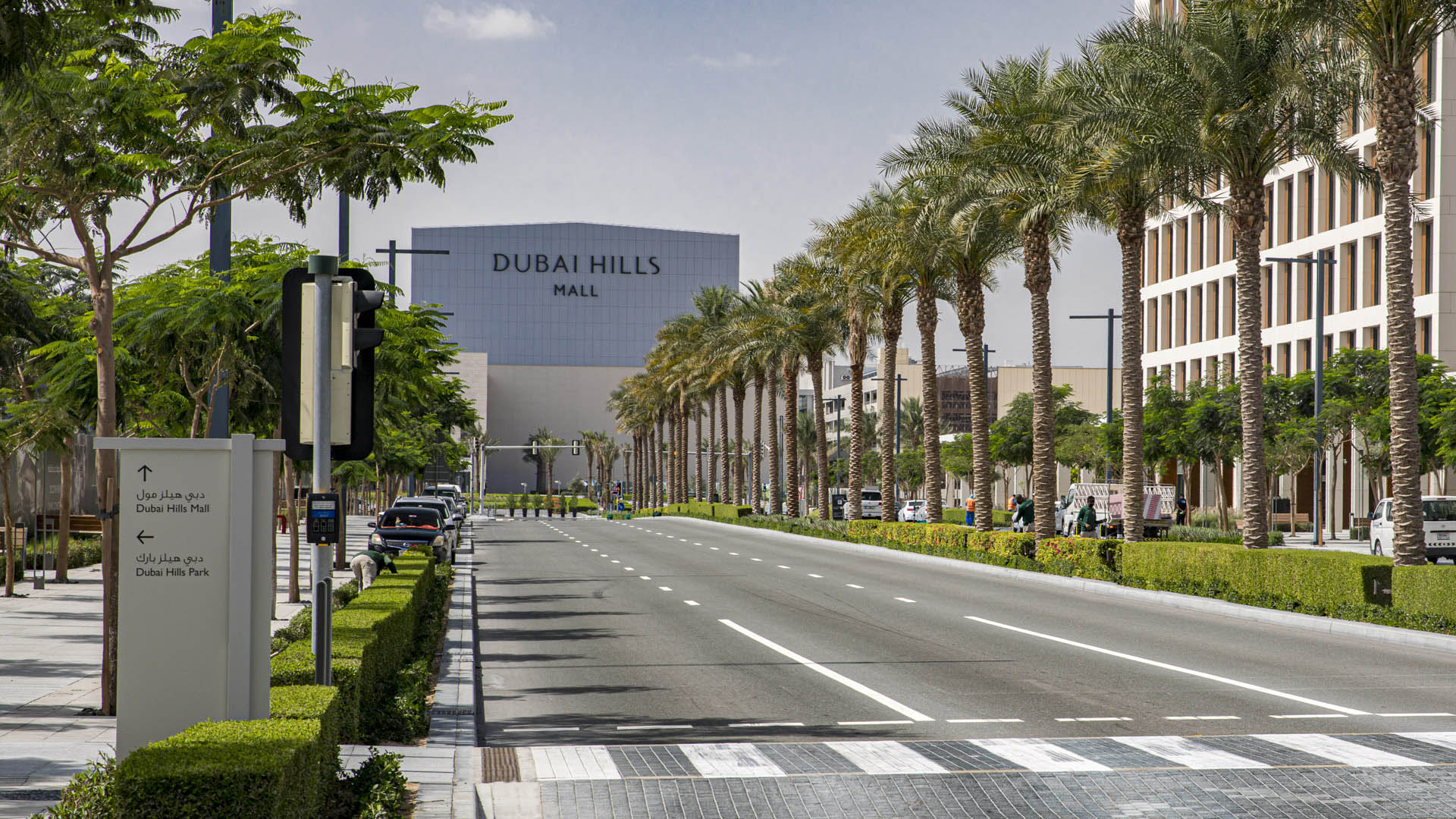
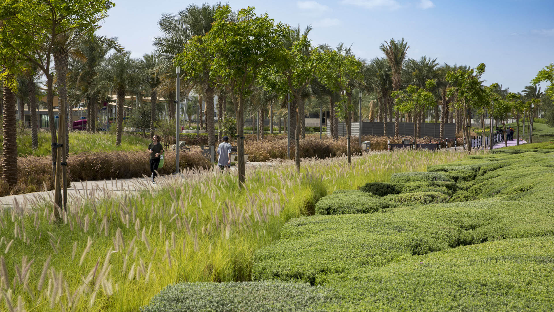
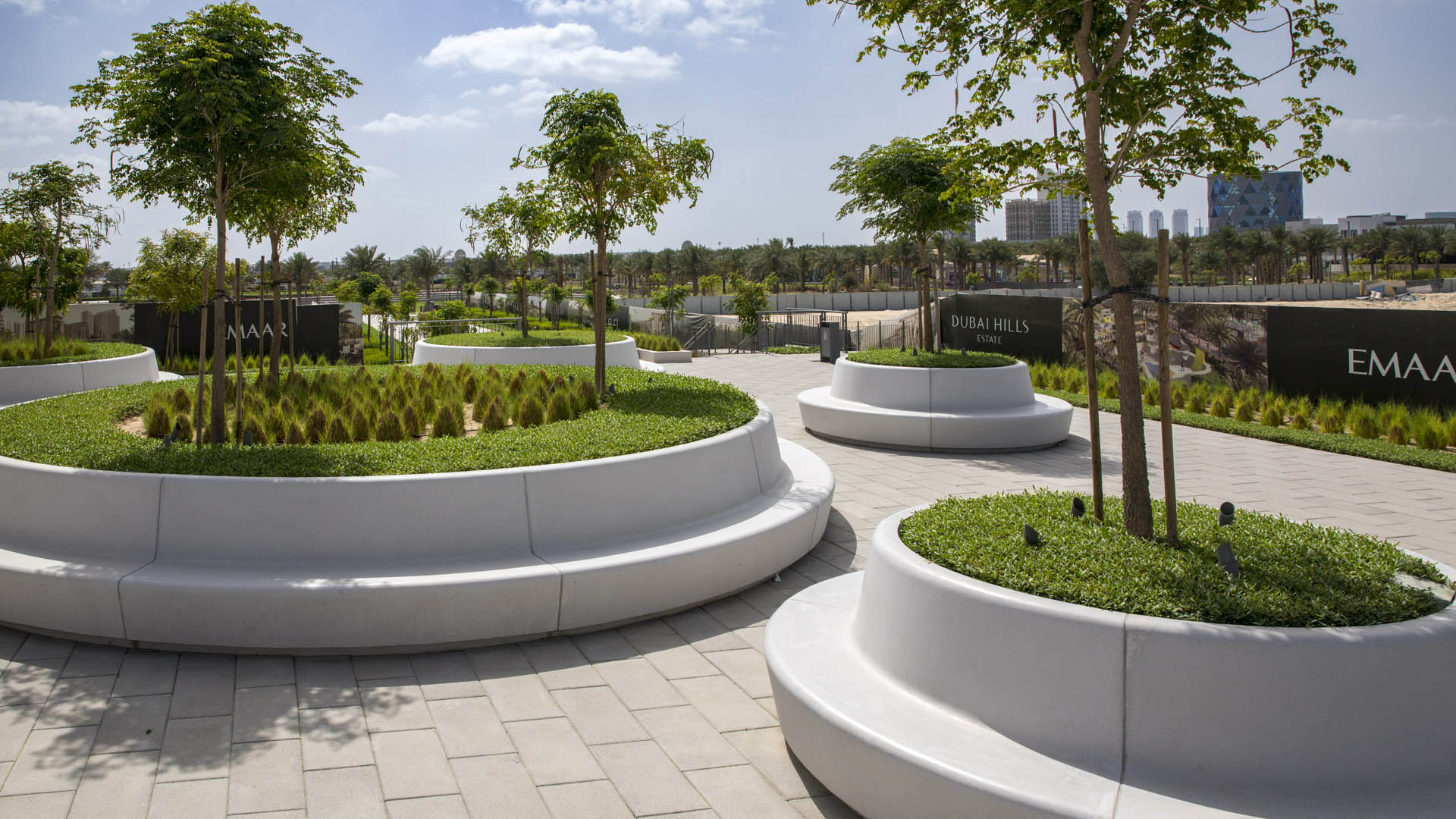
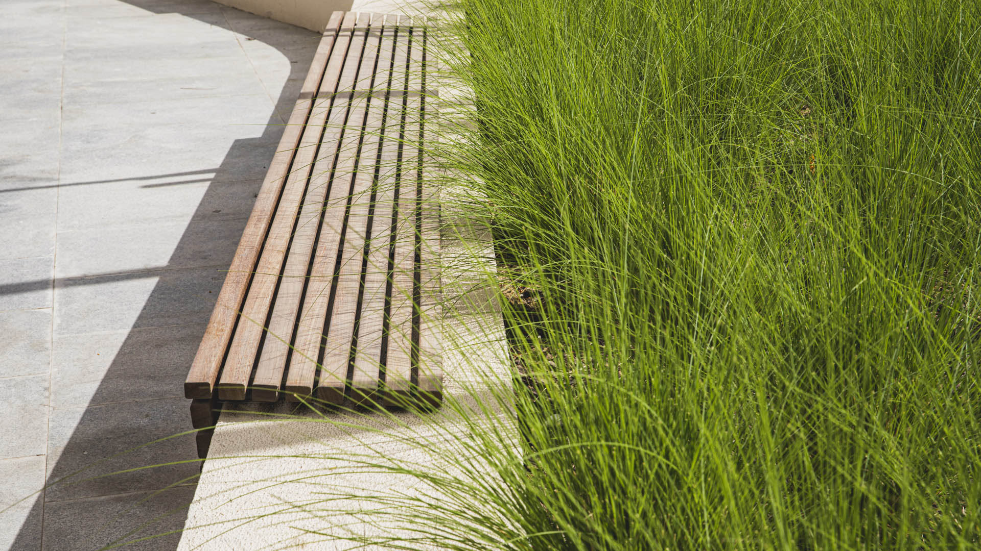
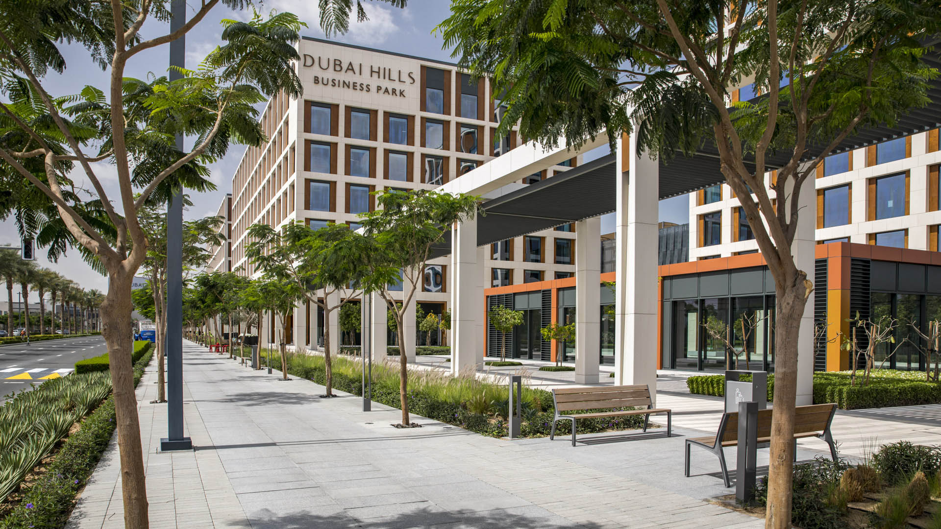
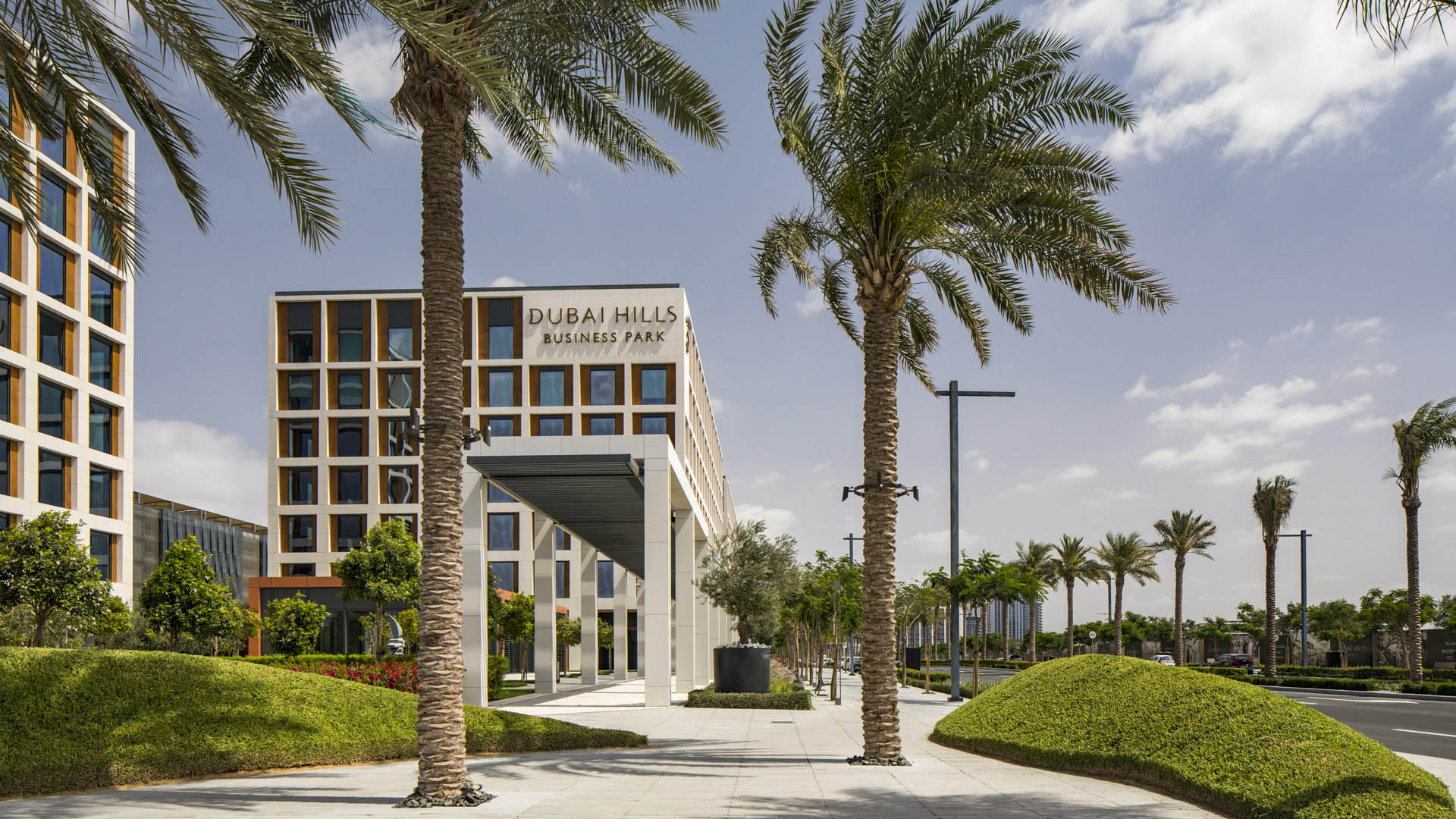
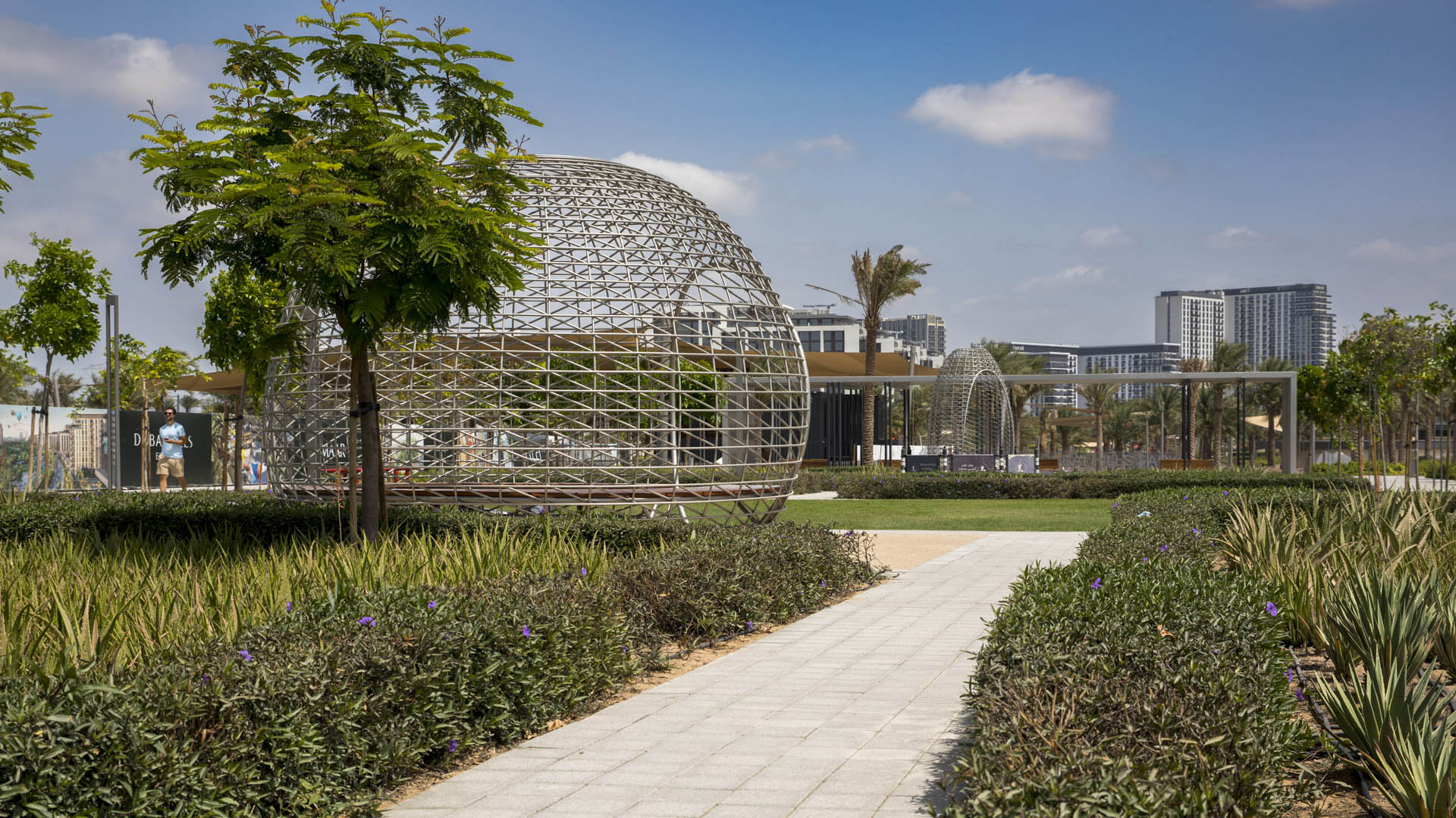
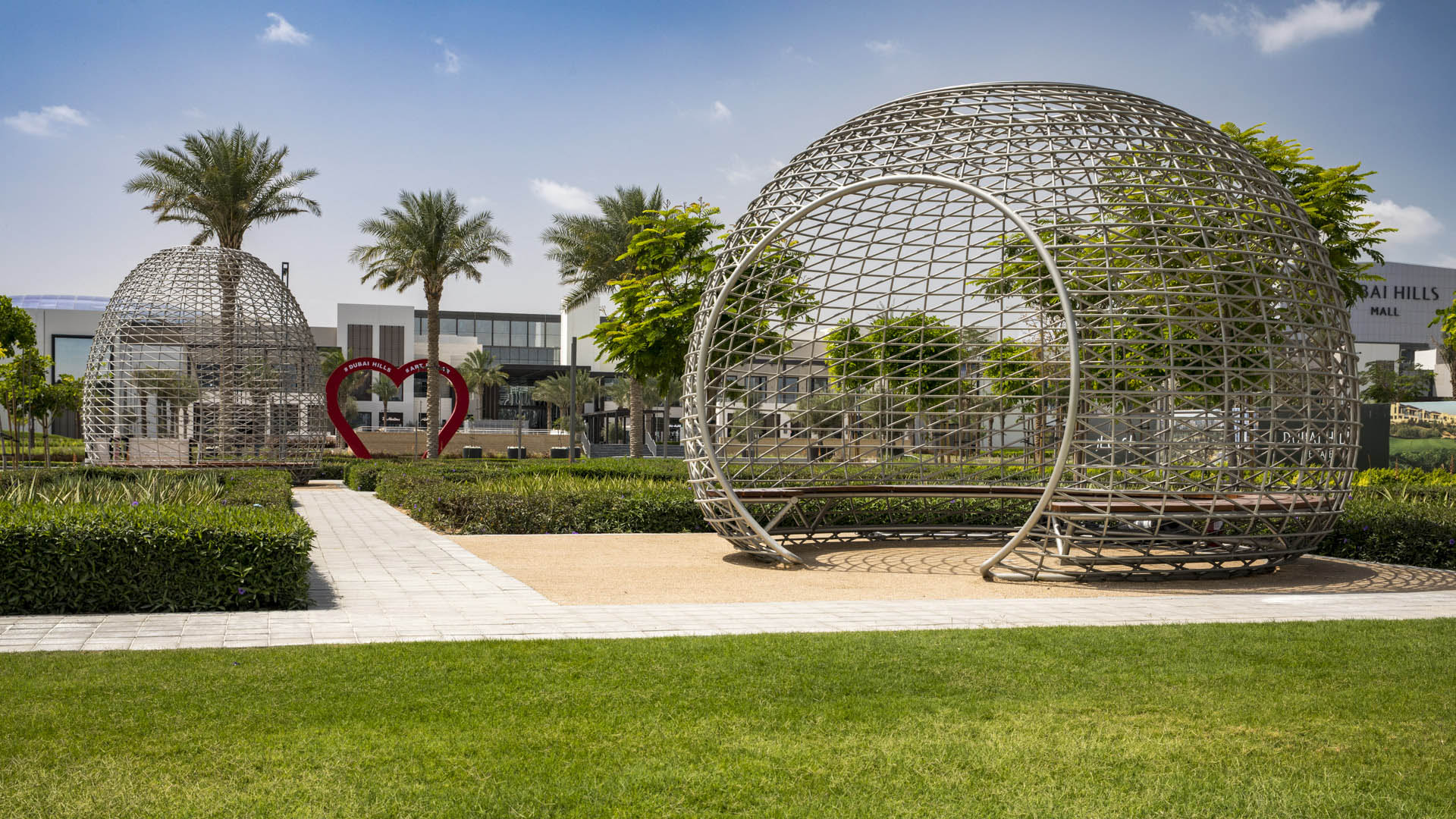
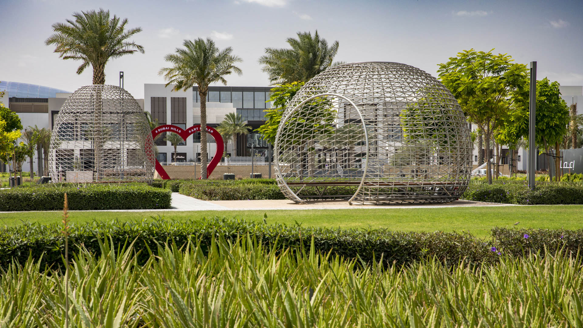
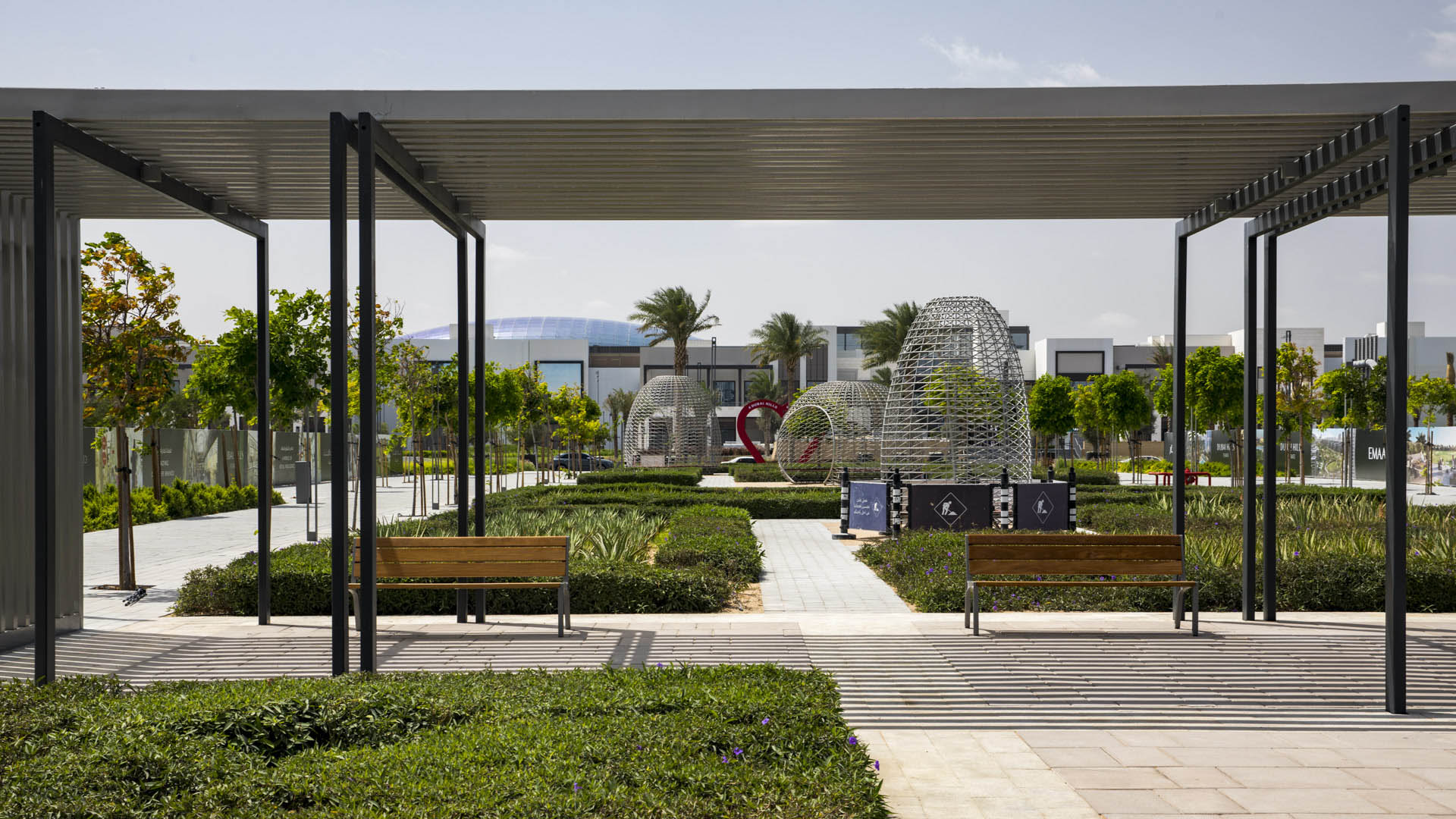
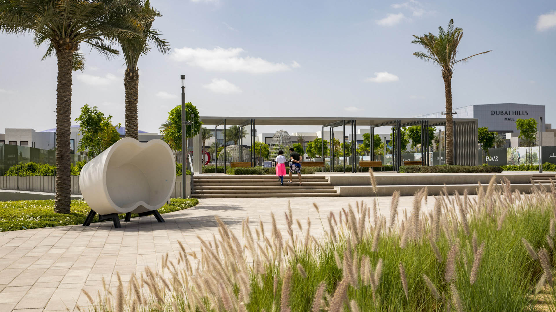
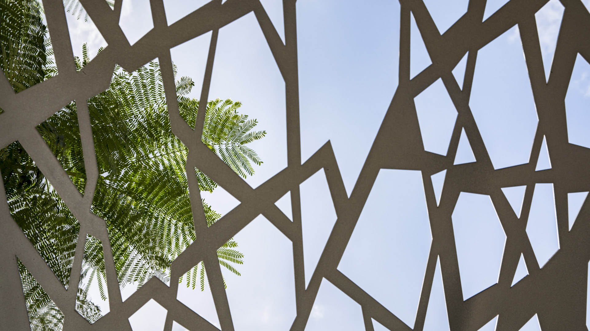
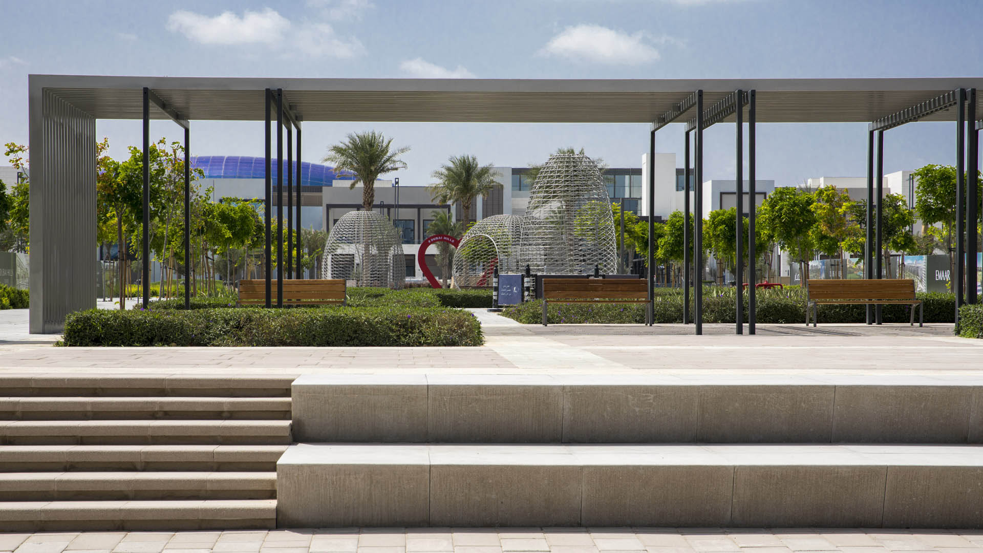
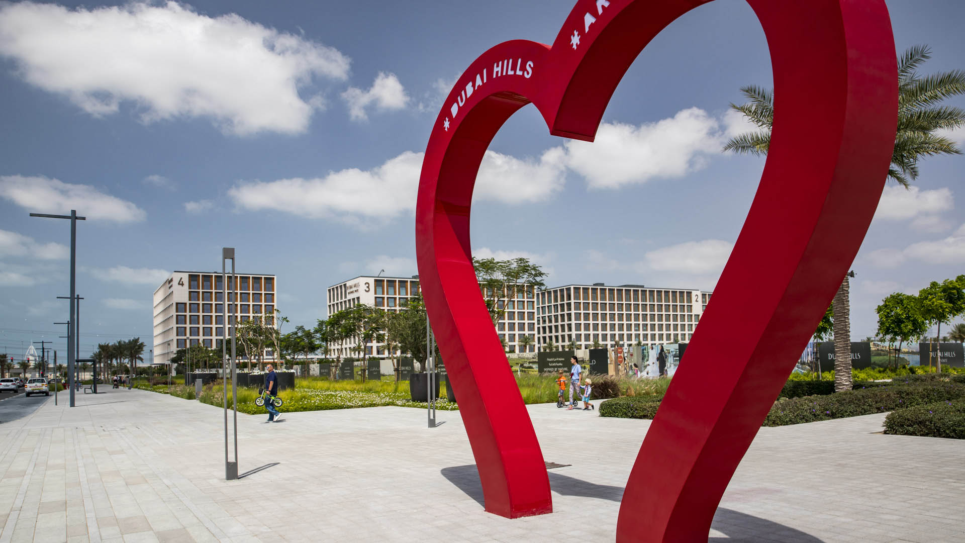

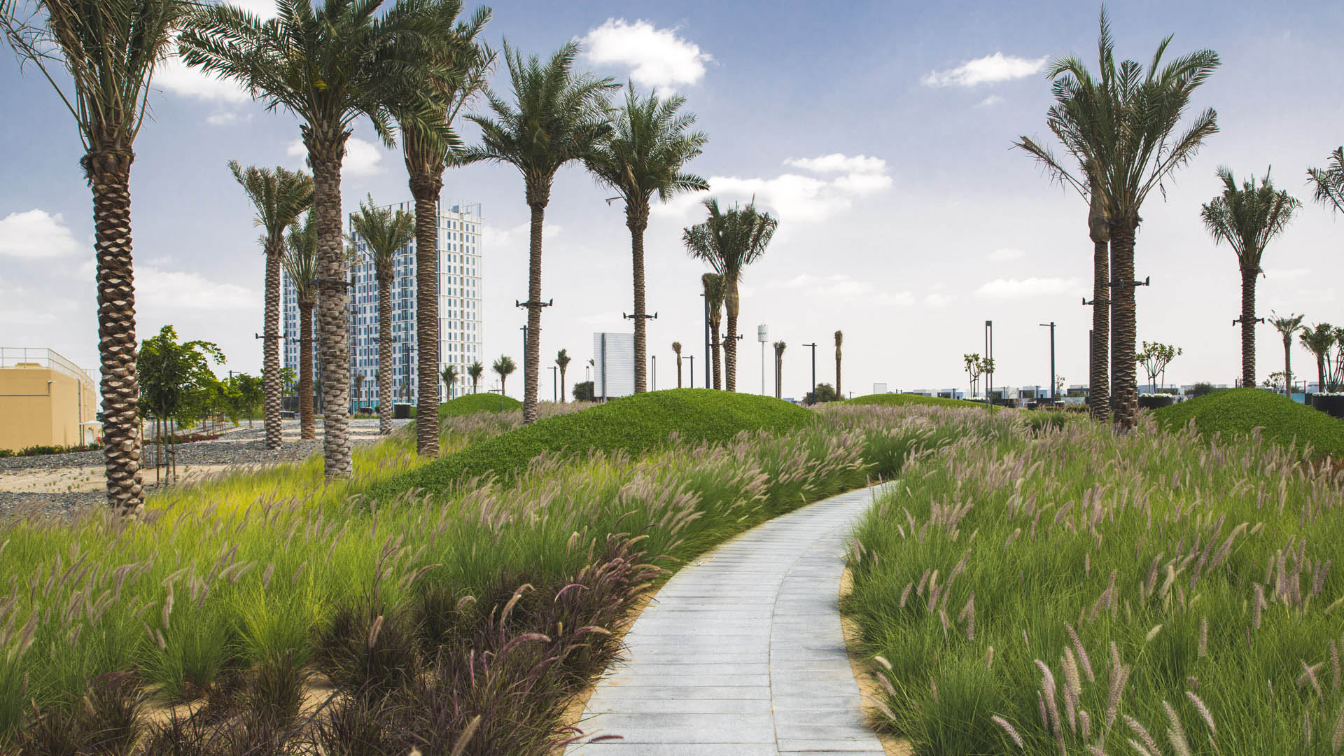
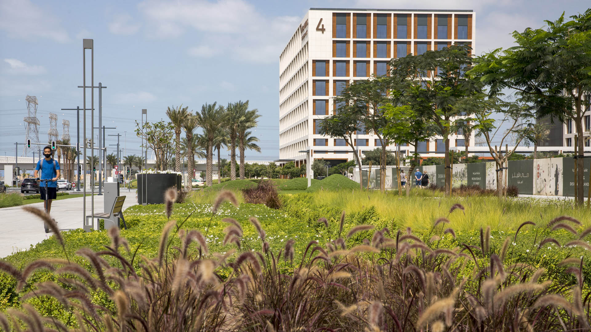
Envisioned as a garden oasis strategically situated where city meets desert, Dubai Hills will be a vibrant yet elegant mixed-use community for 21st-century living. The key public realm element of this massive 1,000-hectare development is a 5.6-kilometer urban boulevard lined with shops, residences, and offices along the district’s central spine. SWA/Balsley designed the southern half of the boulevard, three gateways, and seven open spaces, ranging from intimate pedestrian passages to bustling plazas to lush, green neighborhood parks. The landscape character is simple, clean, and bold, with a particular emphasis on subtle and refined paving details, monocultural style planting featuring culturally significant native trees, and accent features in the form of sculptural landforms, follies, shade and shelter elements, and public art.
Perk Park
Originally completed in 1972, this vestige of IM Pei’s urban renewal plan was built when the street was seen as a menace and parks turned inward. Rolling berms surrounded the edges and the sunken middle areas were filled with concrete retaining walls. After years of decline, Thomas Balsley Associates’ designed a plan to reunite the community with its park. The...
Great Park
One of the world’s largest municipal parks, the 1,300-acre Great Park in Irvine, California, is currently under construction with phased openings continuing through 2029. The conceptual framework encompasses redesign and implementation of near- and longer-term uses, with the intent to “put the park back into the park.” The vast site, which was once the Marine ...
Nickerson Gardens Playground
Originally designed in 1955 by architect Paul Revere Williams, Nickerson Gardens is a 1,066-unit apartment complex in Watts, South Los Angeles — the largest social housing project west of the Mississippi. Core to Williams’ vision was an emphasis on shared open space, but its central playground, neglected for years, fell into a state of disrepair. In collaborat...
Ichigaya Forest
“Ichigaya Forest” is the privately owned, publicly accessible, major open space on Dai Nippon Printing Company’s 5.4-hectare new world headquarters in the Shinjuku Ward. Vertical development and production modernization that extends underground was made possible the creation of this 3.2-hectare open space. Over half the site is now planted wi...