

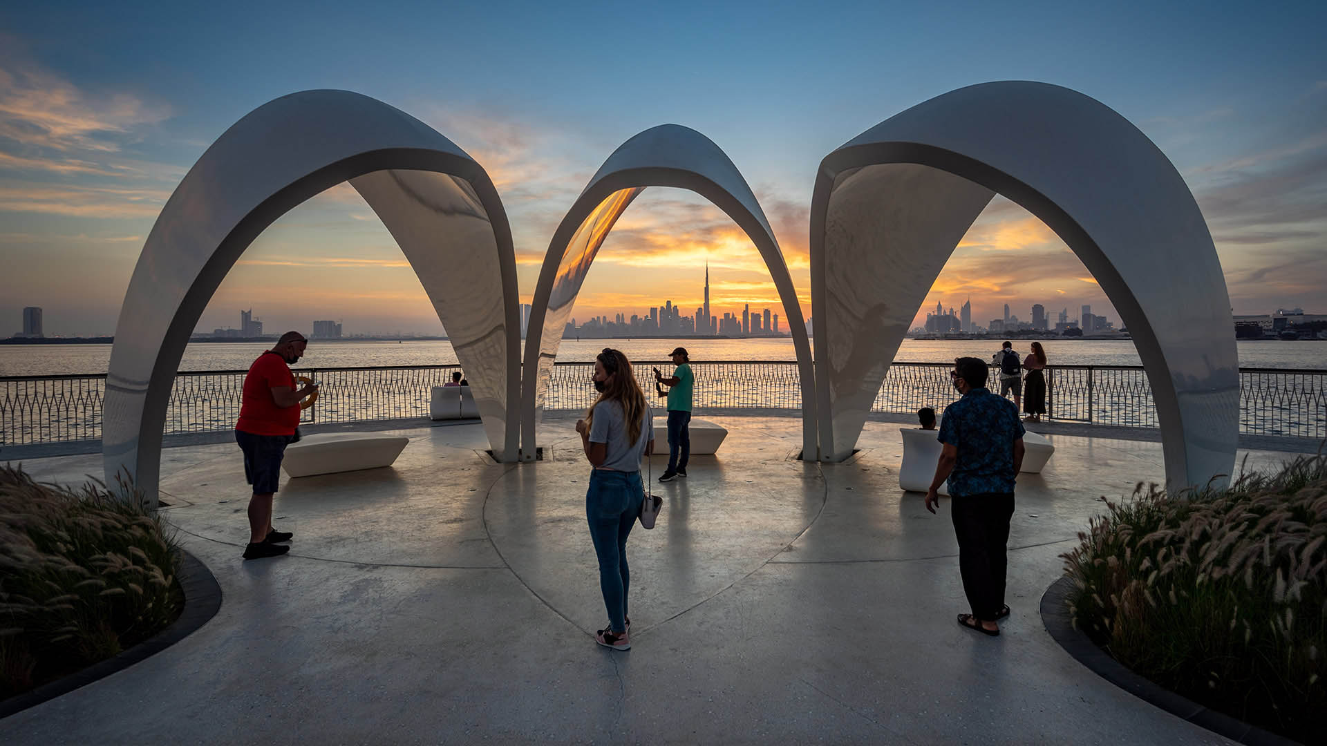

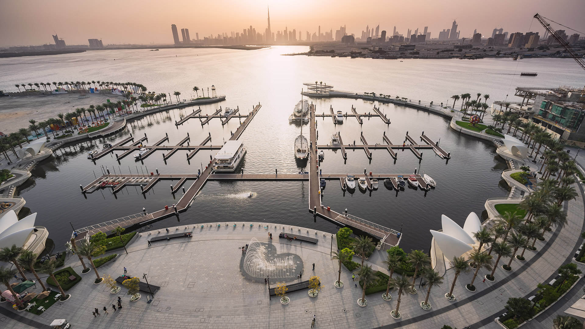
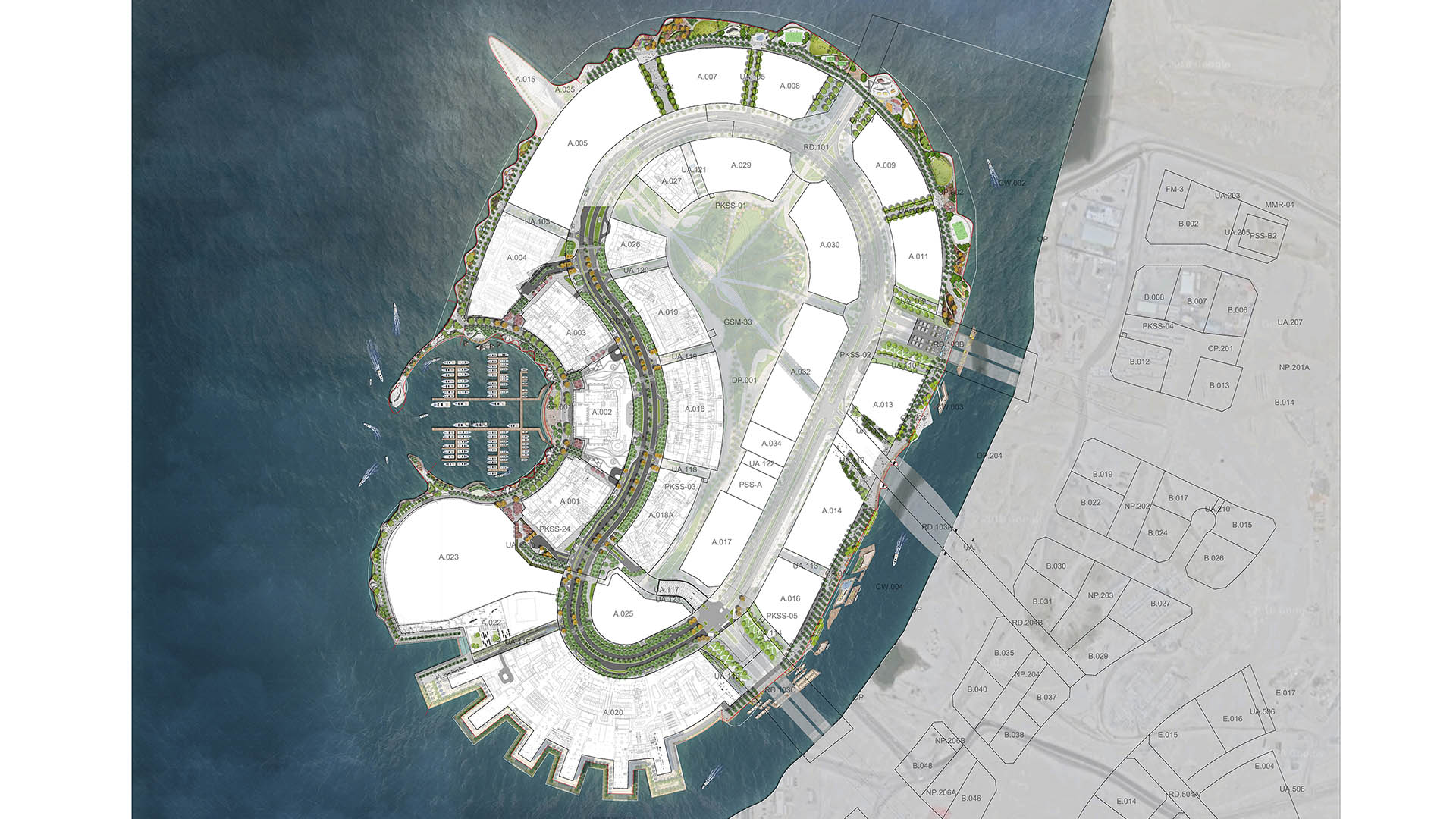
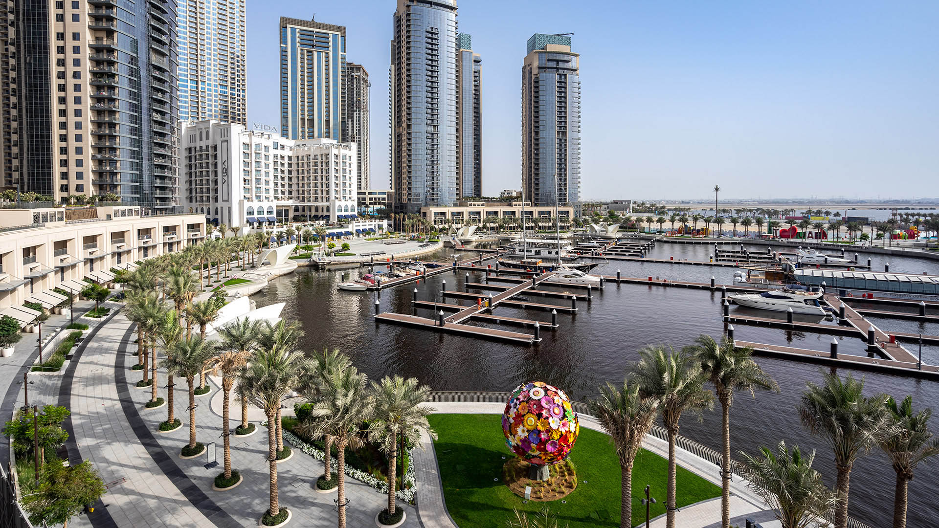

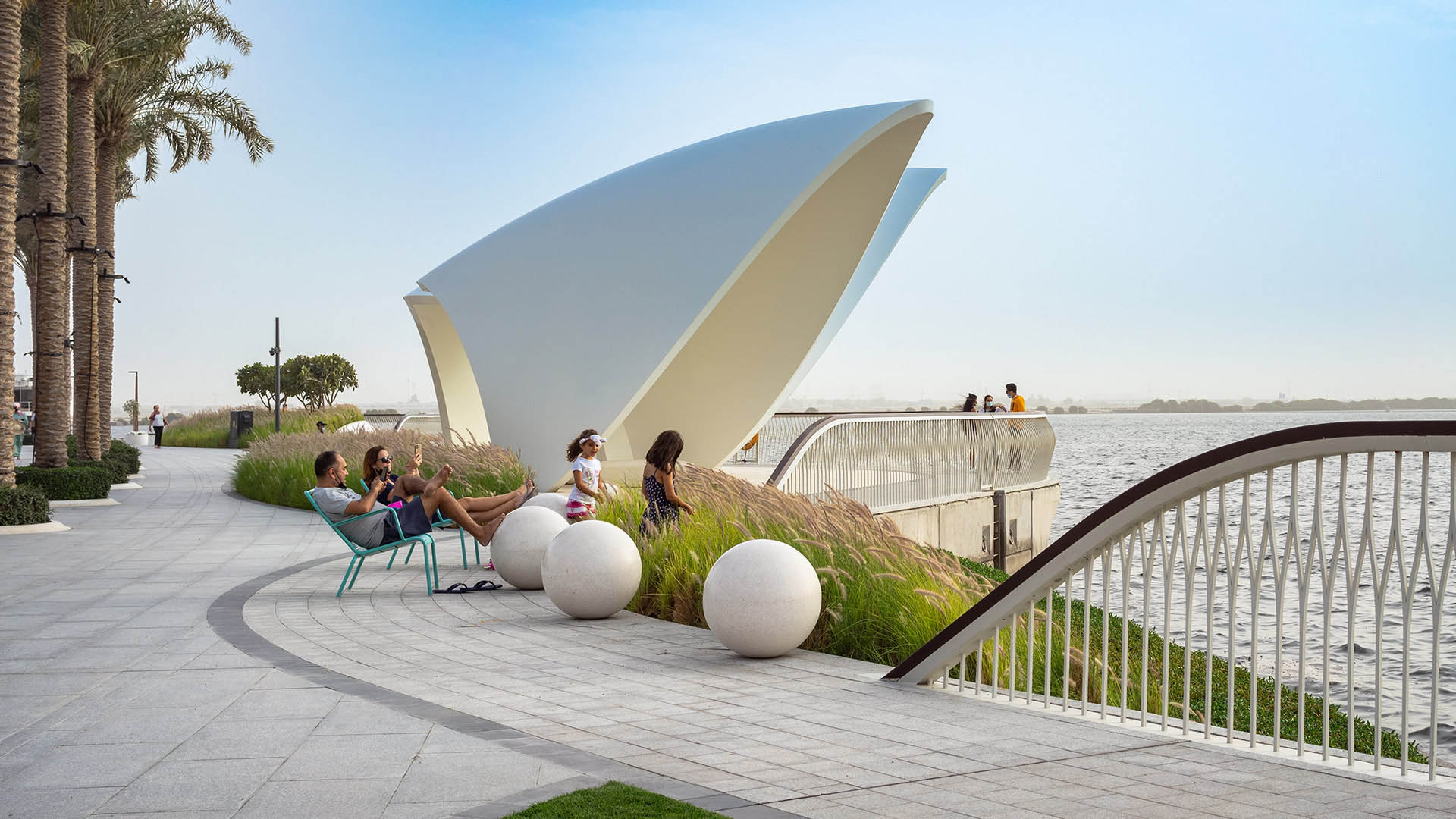

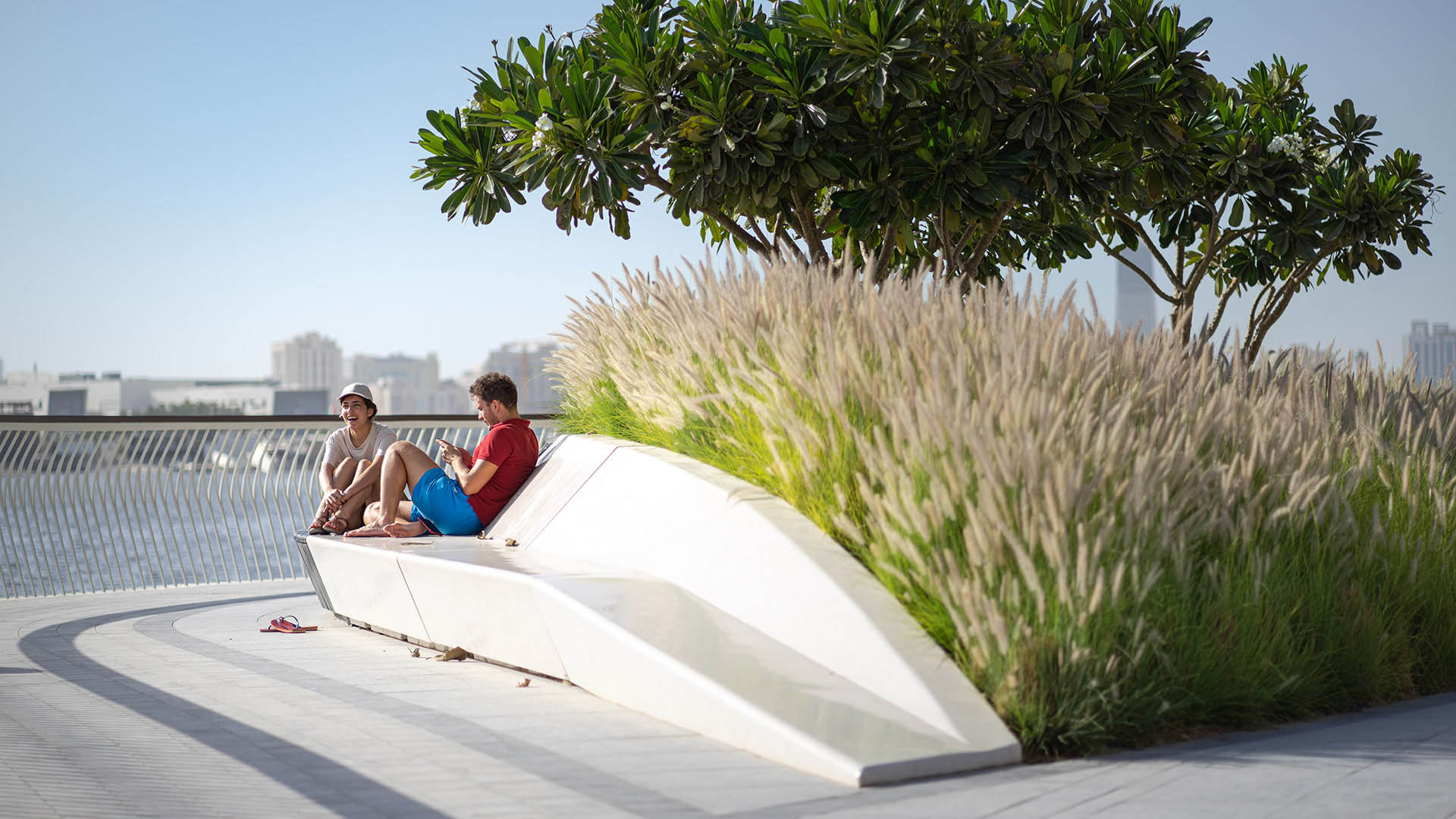


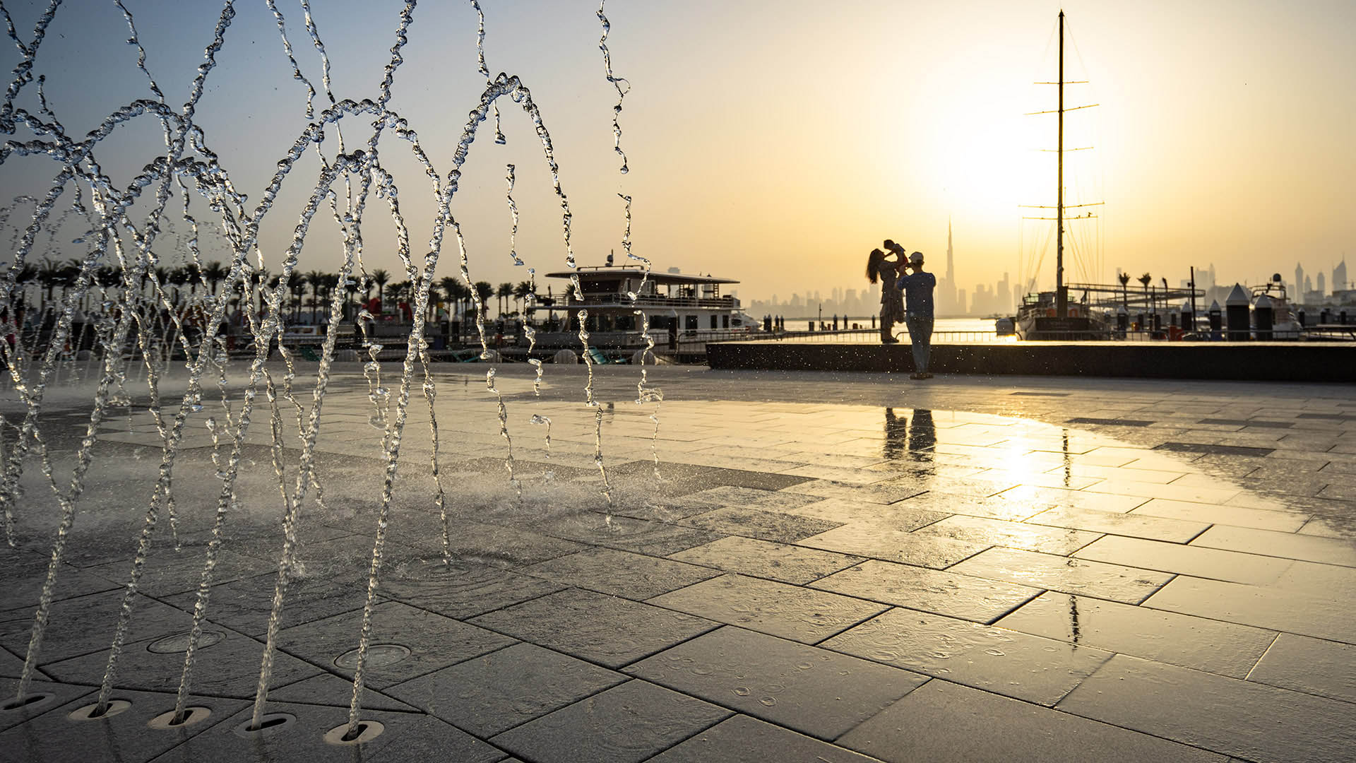
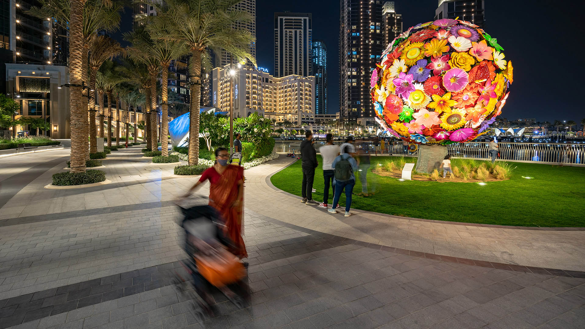
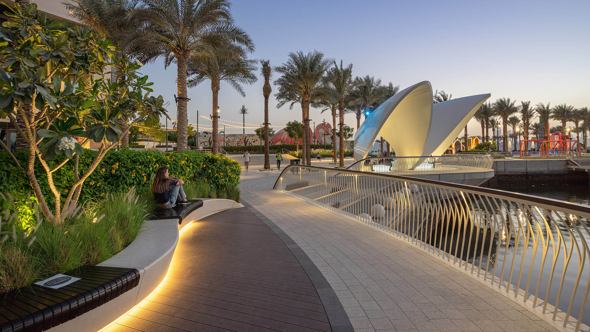
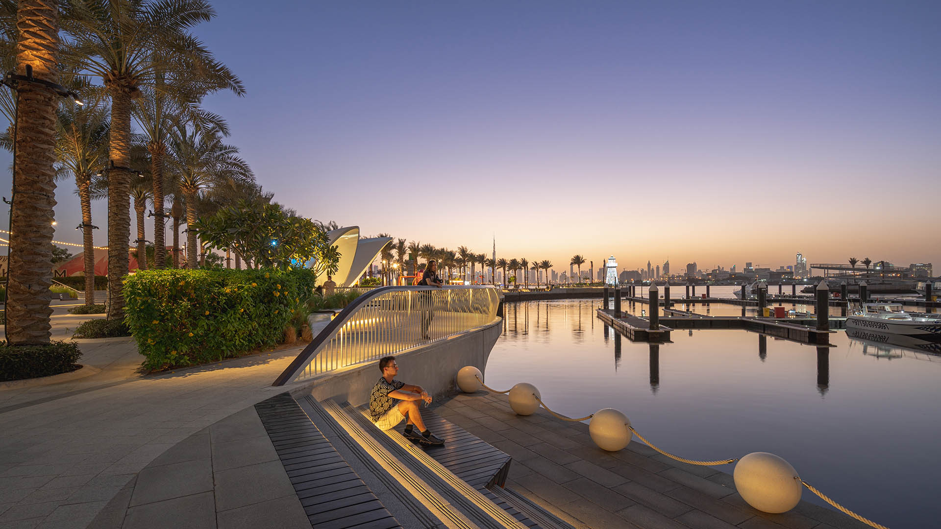
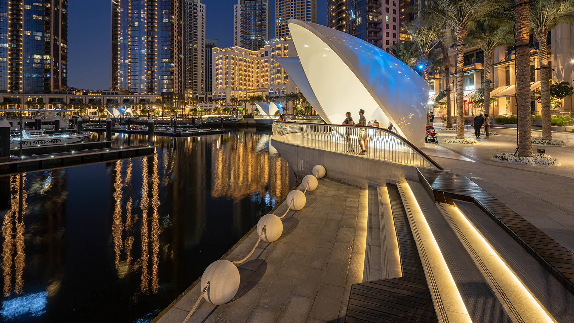
Dubai Creek Harbor is a progressive and innovative new neighborhood that aims to respond to environmental concerns with professional, best-practice measures that will ensure an environment that is healthy, accessible, and environmentally responsible.
The storied history, culture, and nature of Dubai Creek serves as the inspiration for the design of Dubai’s newest public realm. Dubai’s relationship to the water is an essential part of its history. For over 7,000 years, the earliest civilizations within the region have enriched their lives via pearl harvesting, which brought personal wealth, regional prosperity, and an intimate connection to the sea that is still prominent in Emirati culture. Although pearl harvesting as an industry is almost obsolete today, the pearl and its shell enclosure serve as the design basis for the modern metropolis we know today. The design, material selection, and construction approach for the harbor have been inspired by key features of the shell, such as its texture, luminosity, shape, and haptic qualities. References to the qualities and nature of the shell are interwoven throughout the visitor and residential experience. Strategies aim to increase site vegetation, dark-sky compliance lighting, and employ light-colored materials and native planting palettes, all which contribute to a greener development.
St Johns Riverfront Design Incentive Strategy
As part of a larger effort to establish its downtown as a center for business and culture during a period of unprecedented growth, the City of Jacksonville was in need of a design and investment strategy for its underused waterfront along both banks of the St. Johns River. The design team’s approach entails both a large-scale and a node-based strategy, identif...
Aquatic Park & Pier Vision Study
The Aquatic Park and Pier Vision Study is a community-led effort examining new possibilities along San Francisco’s northern waterfront. Prompted by the need to replace the disintegrating Aquatic Park Pier — a historic, curvilinear structure that shelters shoreside water for swimmers and boaters — the Vision Study looks beyond the immediate boundaries of the Ma...
Fuyang Riverfront
Seizing the area’s reputation for “one of the best mountain and water views in the world,” the natural framework along both sides of the Fuchun River inspires this plan integrating urban spaces with landscape to create a harmonious skyline. Fuyang flourishes with economic prosperity while honoring its vibrant cultural heritage.
The scope includes urban d...
Nantong Waterfront
A prominent riverfront city in Jiangsu Province, Nantong has long been shaped by its proximity to the Yangtze River, Hao River, Tonglv Canal, and Rengang River. The establishment of Nantong Port in 1904 and subsequent wharf construction drove decades of industrial growth, but as shipping operations shifted downstream to deeper waters, older docks in this area ...