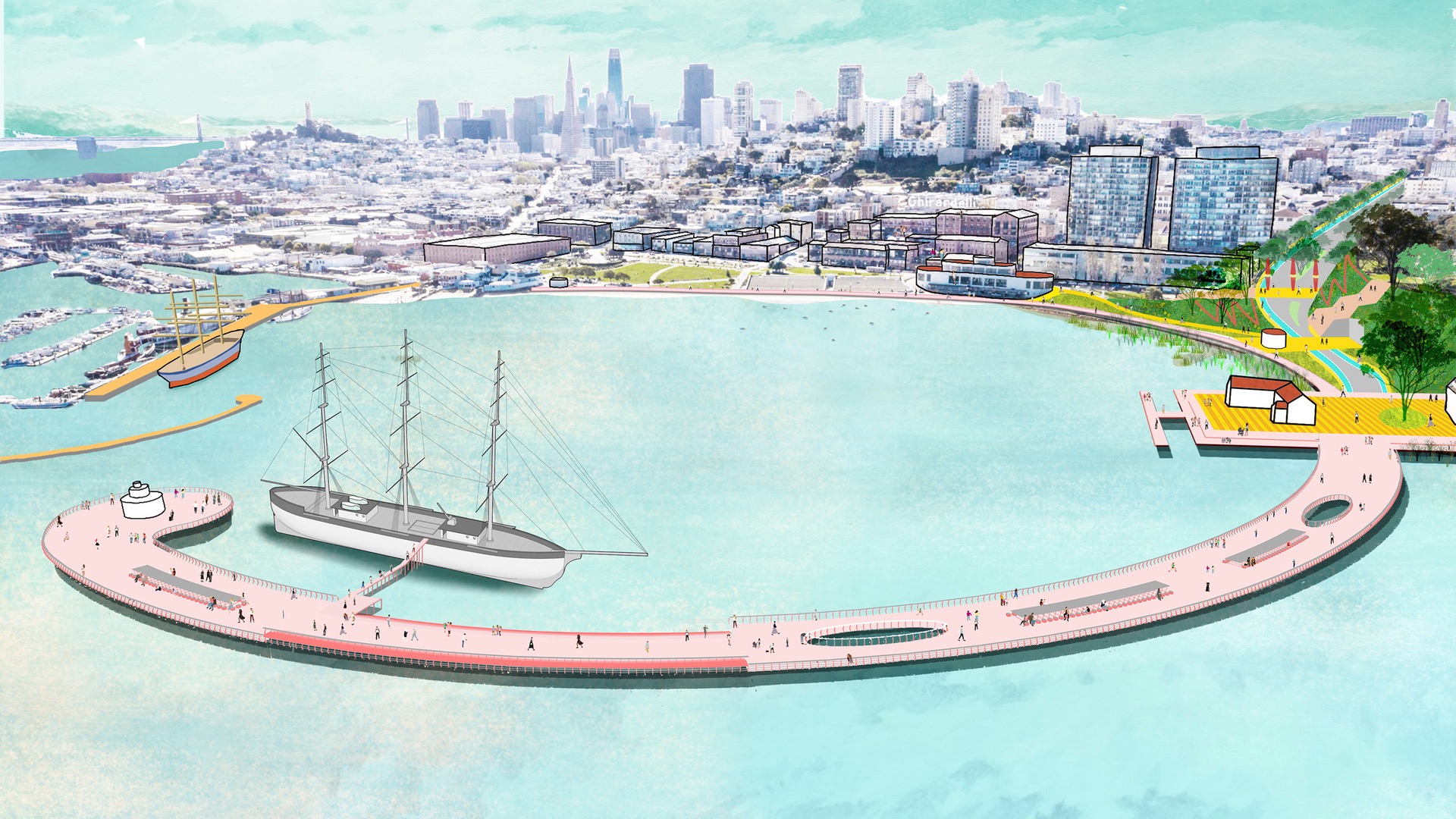
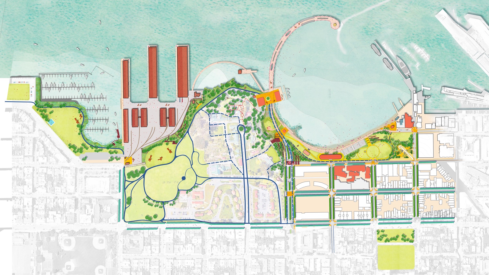
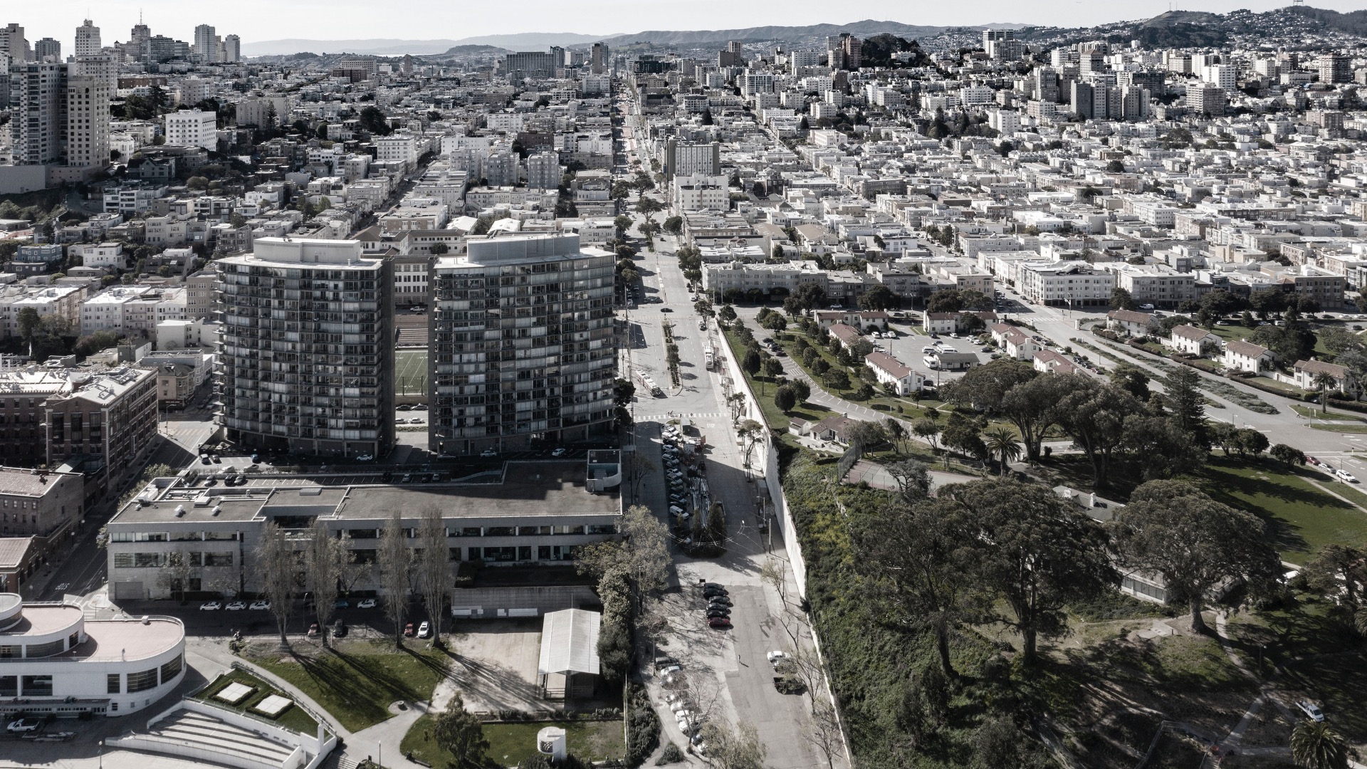
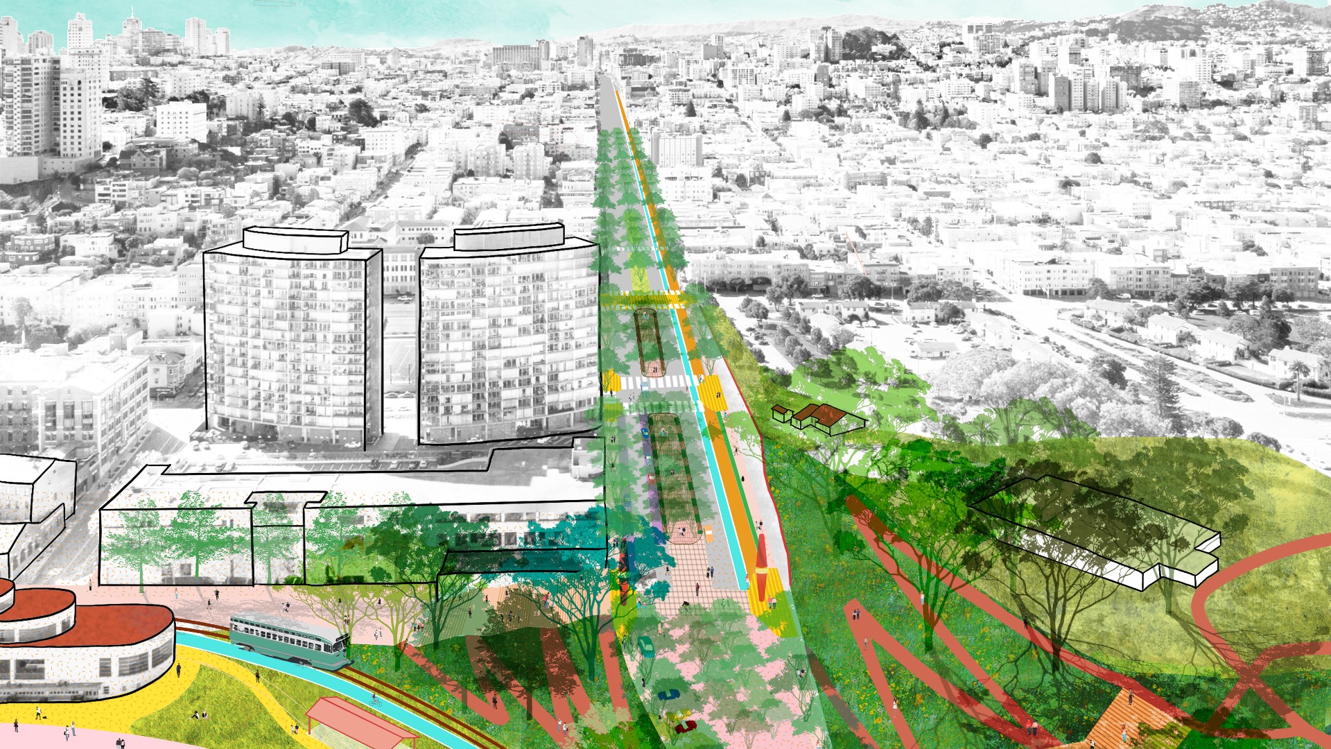
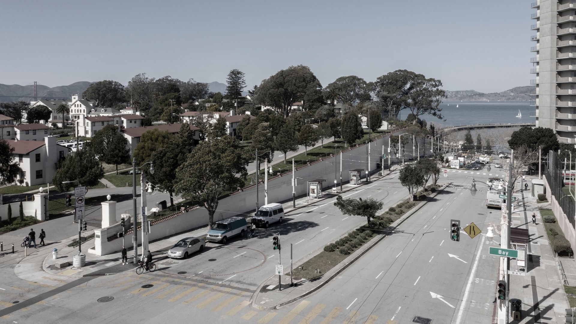
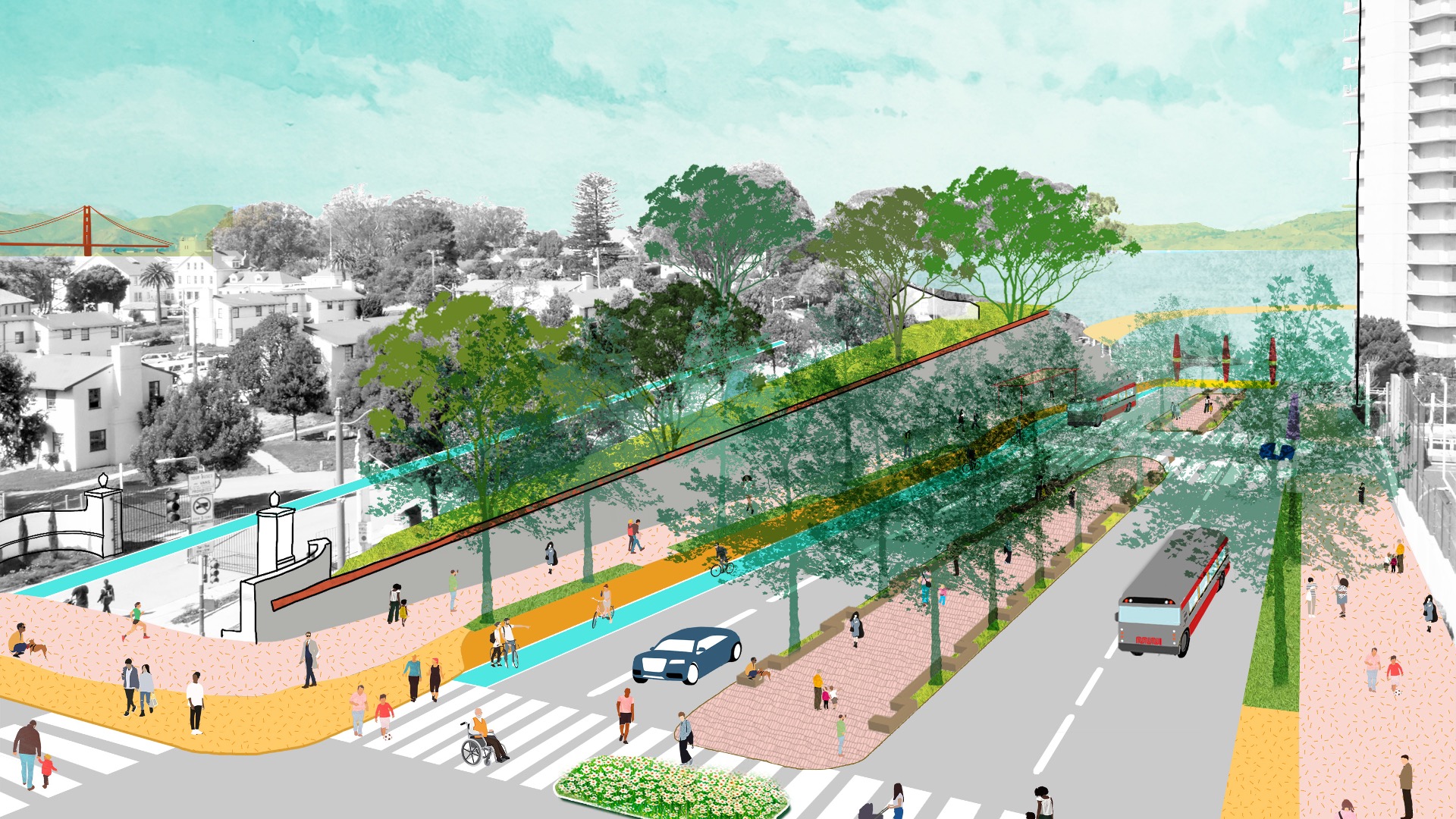
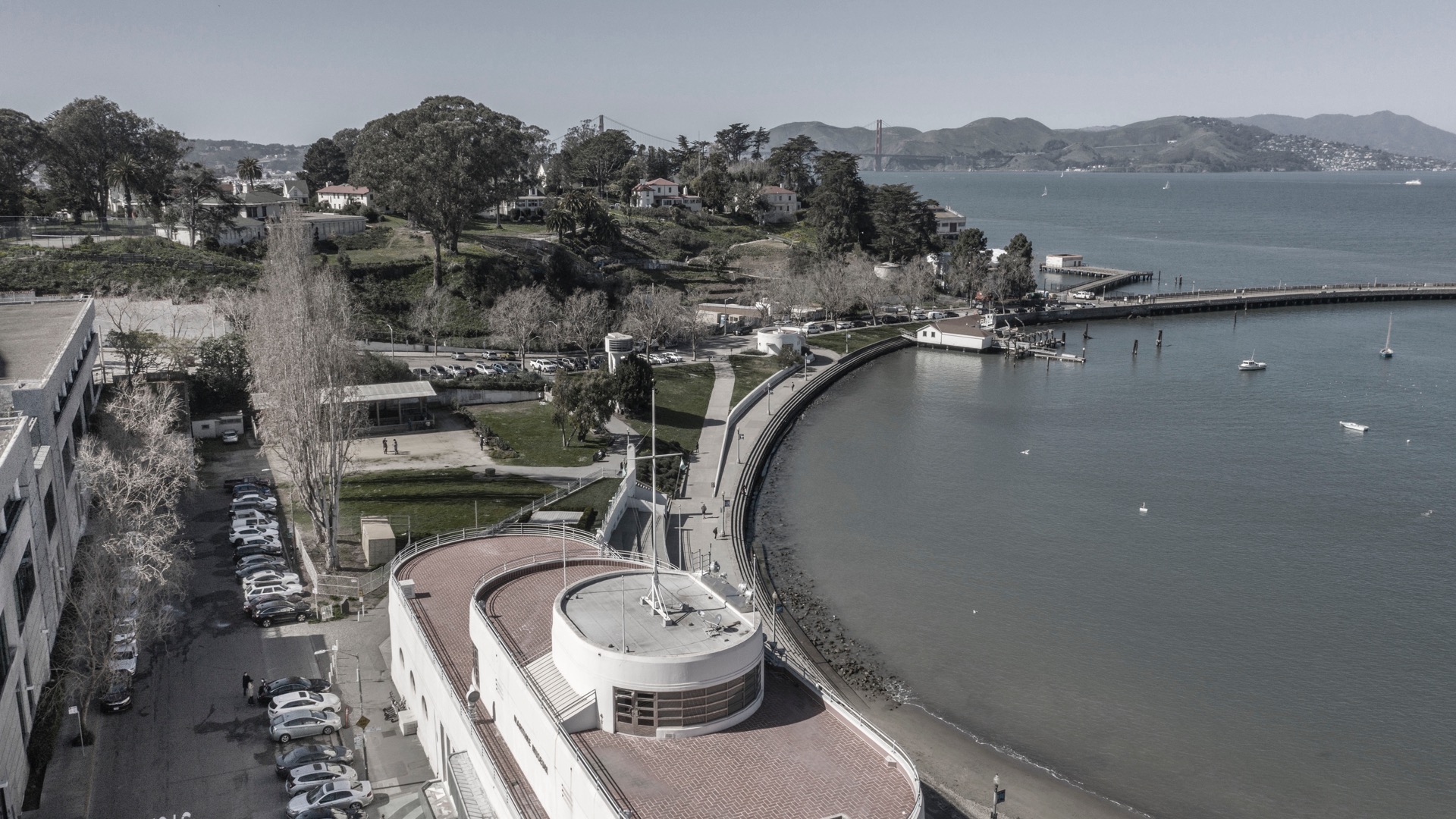
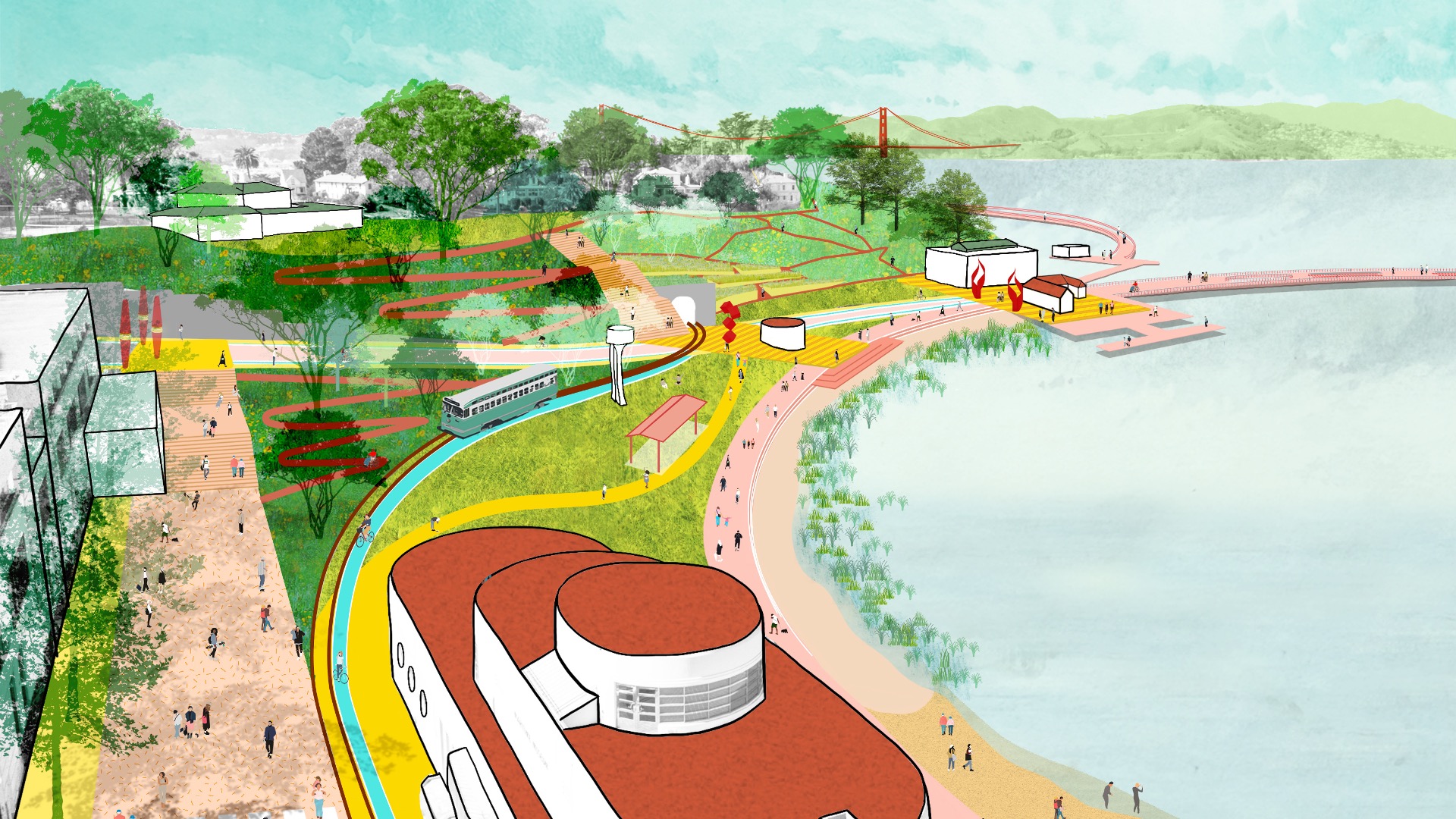
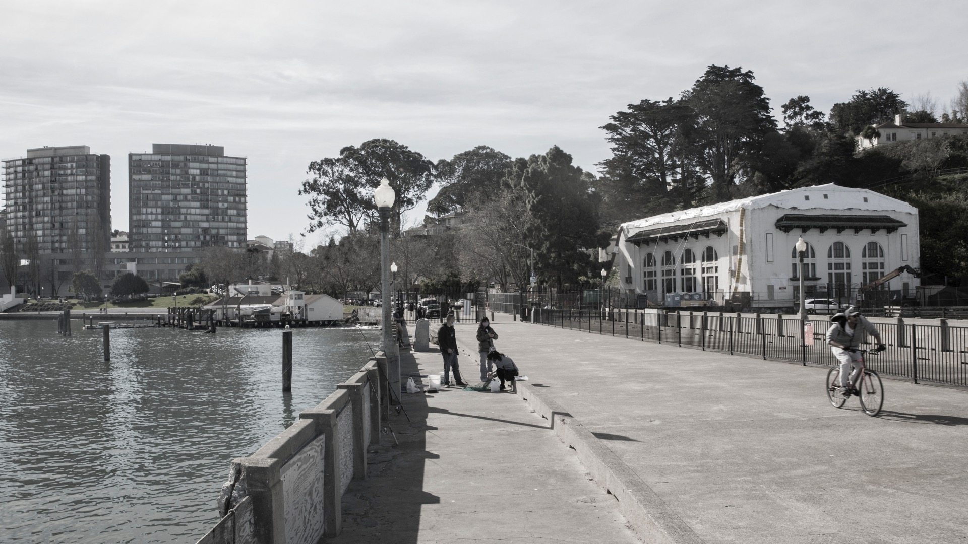
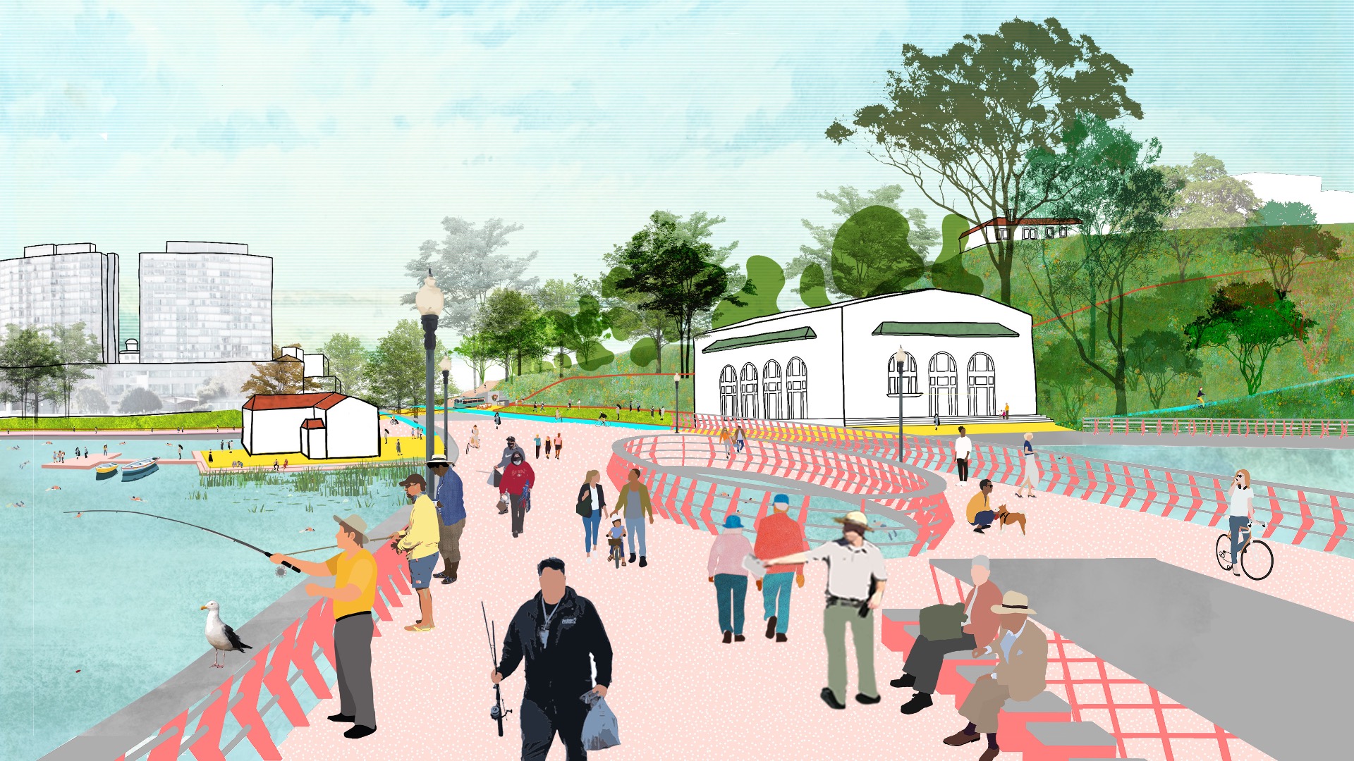
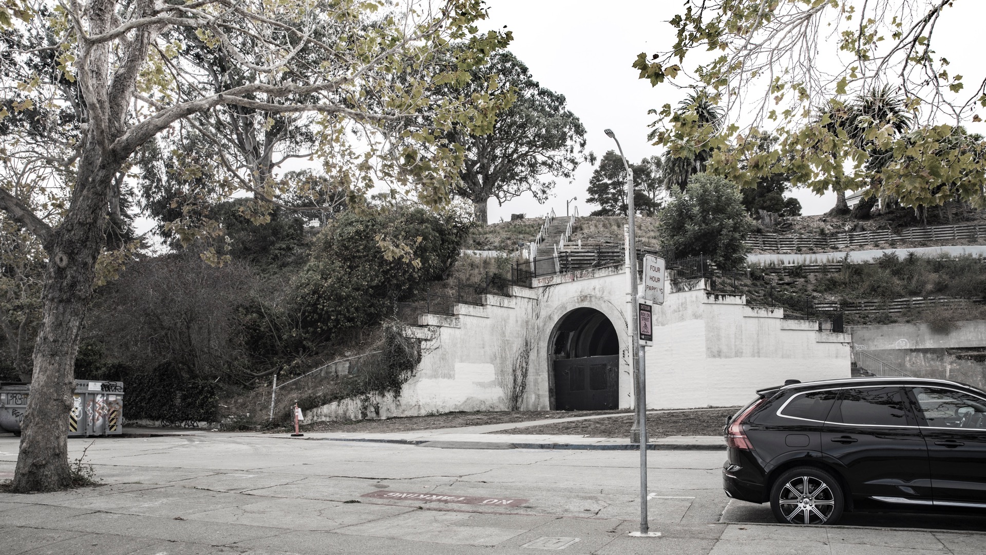
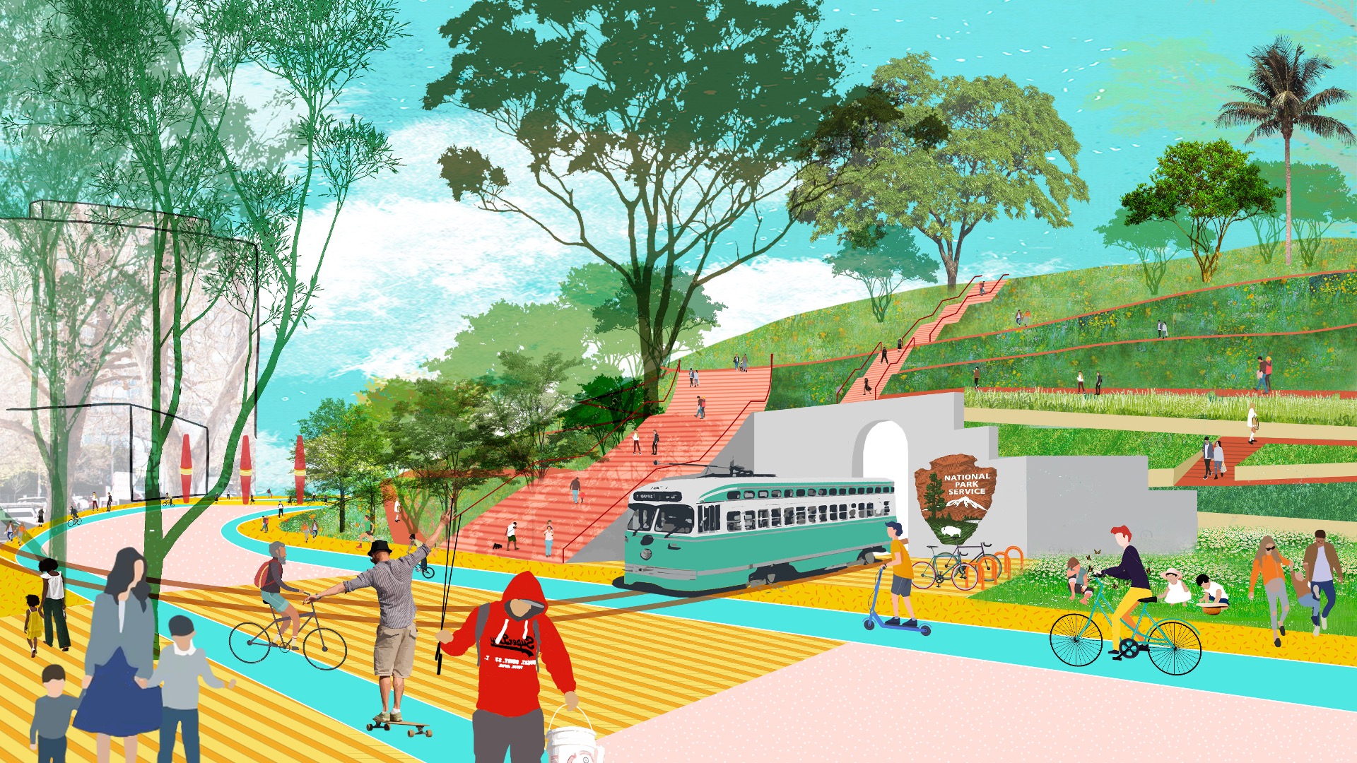
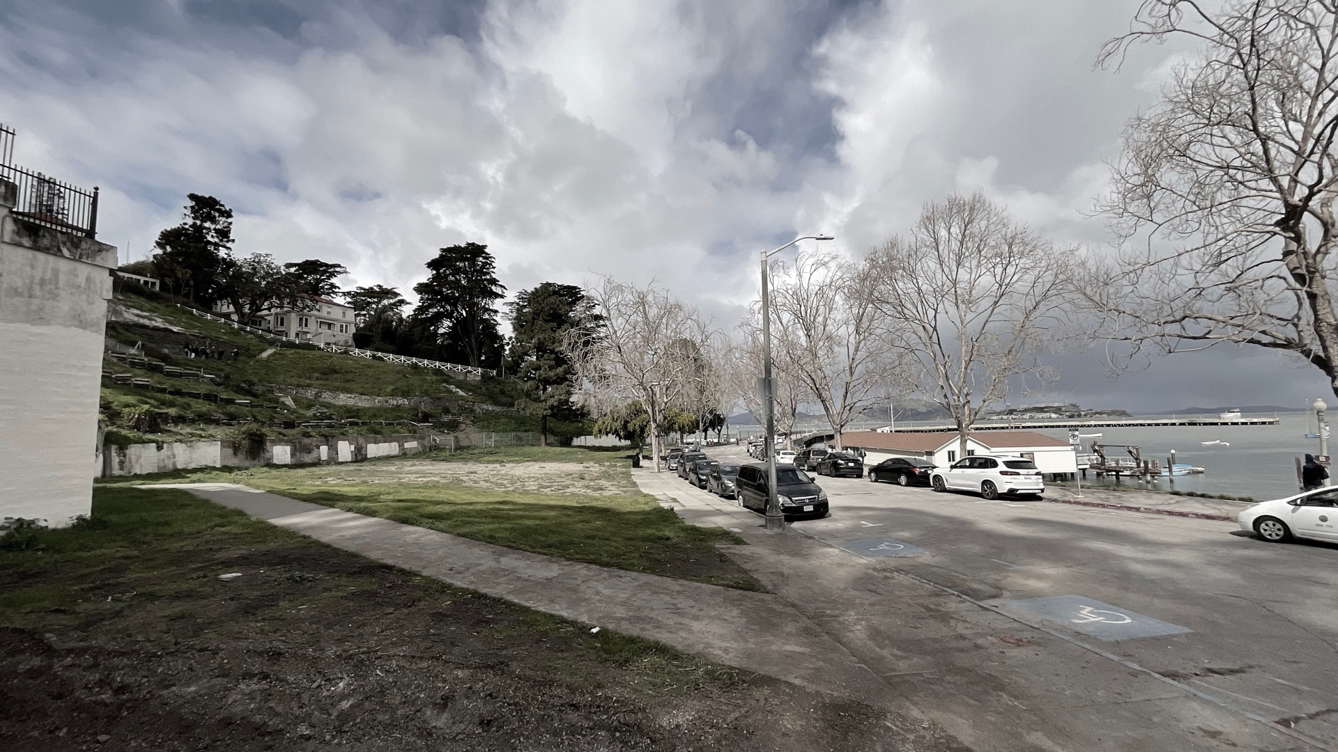
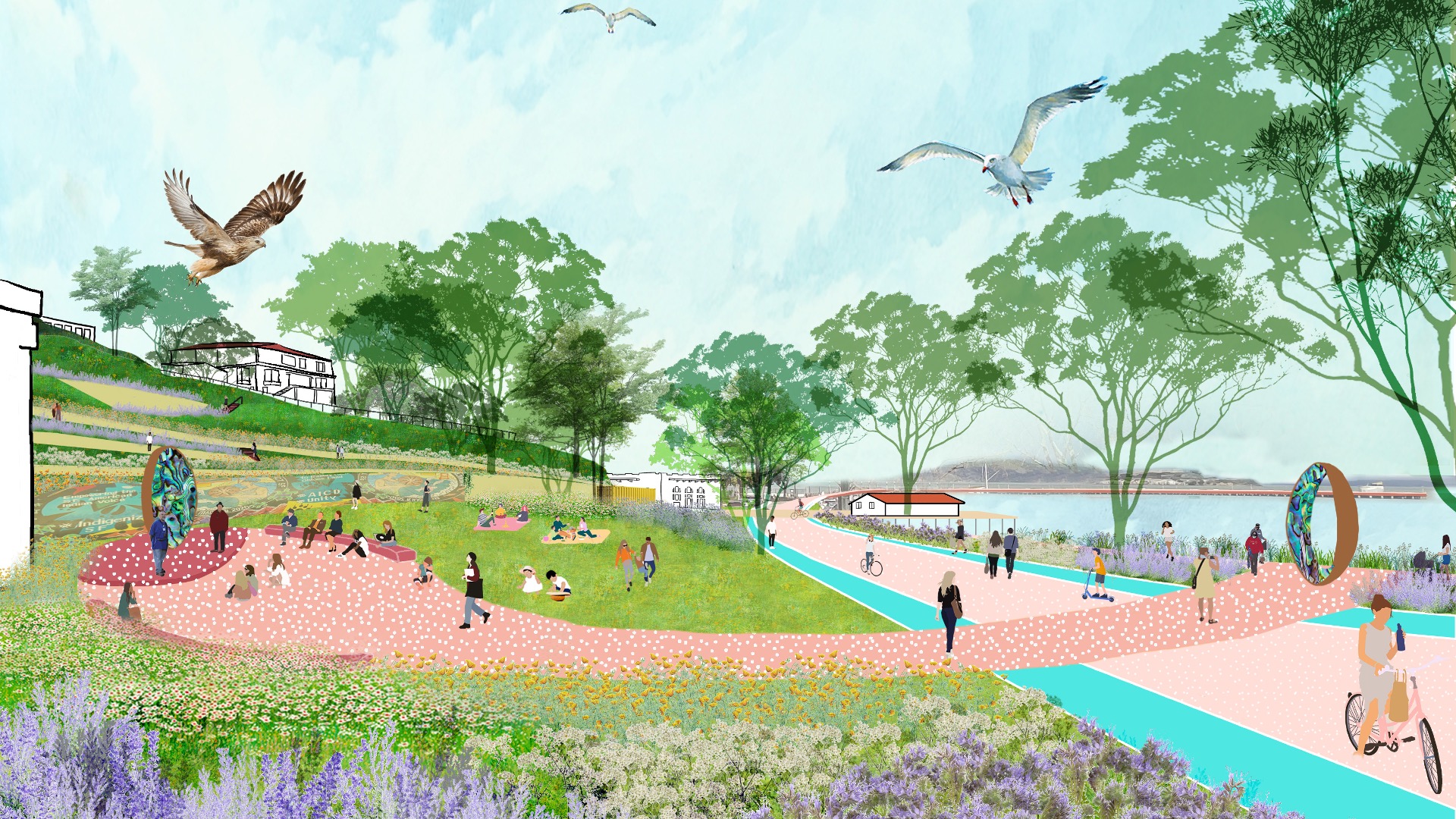
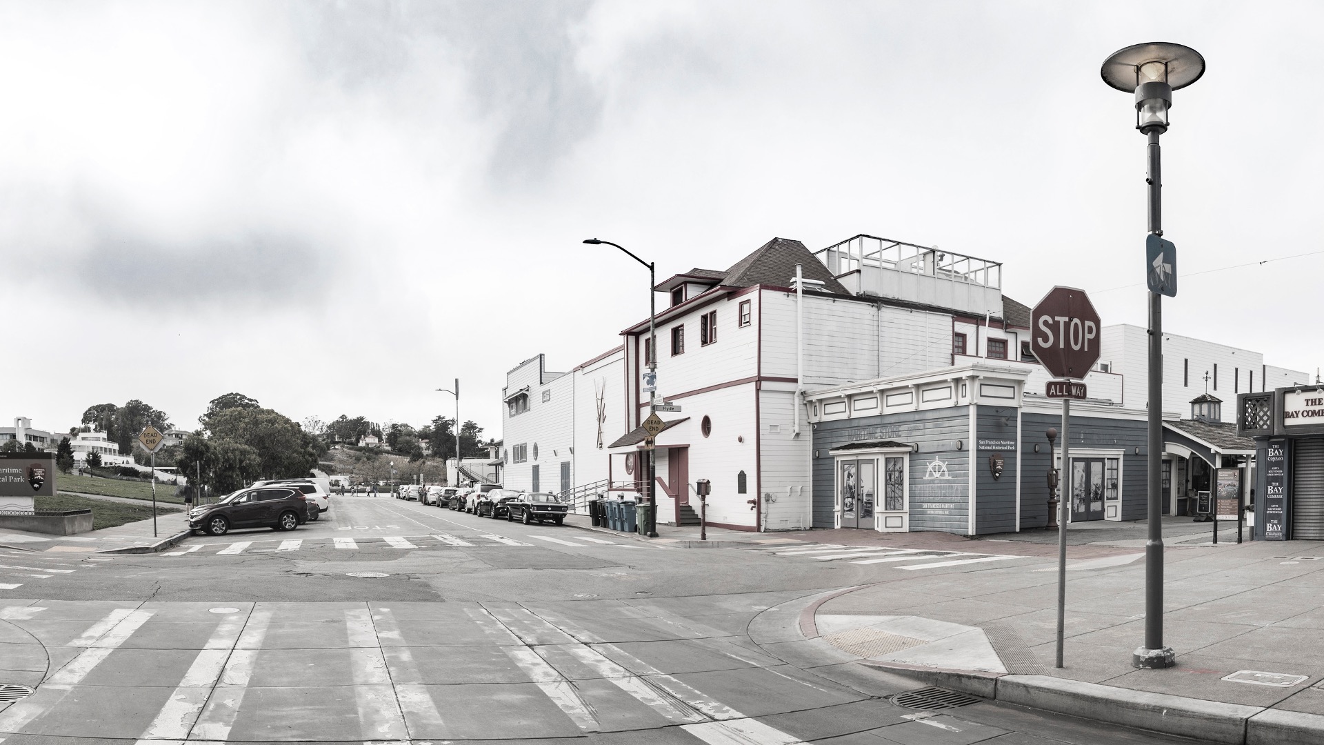
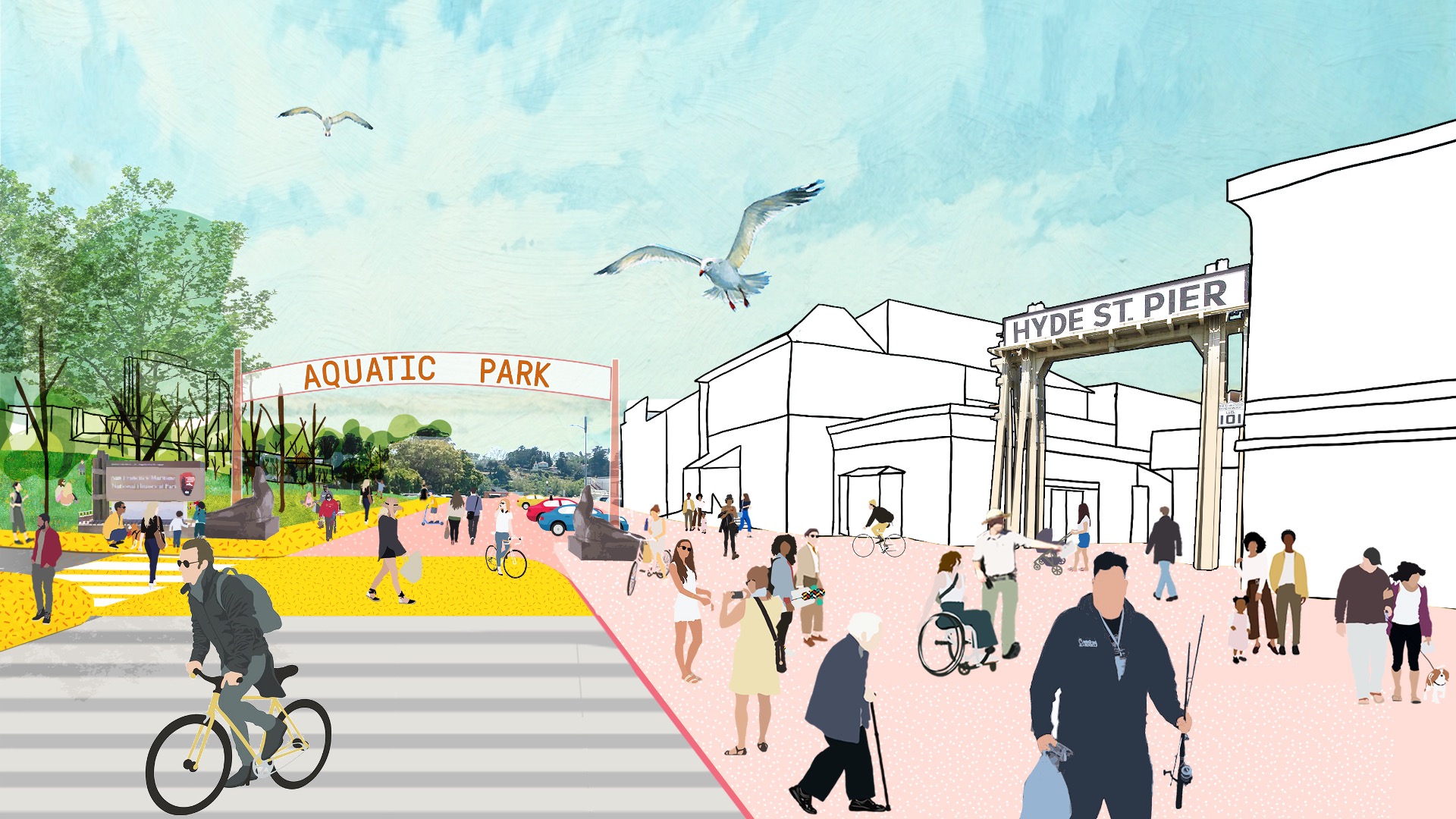
The Aquatic Park and Pier Vision Study is a community-led effort examining new possibilities along San Francisco’s northern waterfront. Prompted by the need to replace the disintegrating Aquatic Park Pier — a historic, curvilinear structure that shelters shoreside water for swimmers and boaters — the Vision Study looks beyond the immediate boundaries of the Maritime National Park to envision ways in which the park and pier can better connect to the rest of the city and to its waterfront neighbor, Fort Mason. The study’s goals are to remediate infrastructure, improve accessibility and connectivity, and enhance visitors’ experience of this special waterfront site.
In partnership with National Parks agencies and community groups, the Vision Study process utilized a wide variety of outreach tools, including a video that employed “cartoon” renderings to encourage engagement from diverse participants. The resulting vision for Aquatic Park is documented in the study and will be used to secure funding, support future partnerships, and guide implementation of the vision.
San Diego Embarcadero
The redevelopment plan for the waterfront and port facilities adjacent to downtown San Diego included translating community and economic requirements into a specific planning program. Emphasis was placed on urban design, circulation and parking, landscaping, environmental planning, and engineering considerations with a set of comprehensive implementation guide...
Hangzhou Hubin
West Lake in Hangzhou, China, one of the world’s most romantic places and as familiar an icon as the Great Wall or the Forbidden City, has been designated by the United Nations as one of the World Cultural Heritage Sites. Seven hundred years later, the city that served ancient emperors as a capitol boasts a population of over three million and is still a...
Golden Shoal Riverfront Park
Located along Chongqing’s Jialing River, this new linear public park offered unique challenges: a 30-meter annual river fluctuation, steep topography, and low-impact maintenance of a continuous riparian corridor. Adjacent new urban development, with attendant needs for green space, called for a flexible and resilient approach to the park’s landscape and infras...
OCT Bay
Located in Shenzhen, OCT Bay has a combined site area of approximately 1.25 square kilometers including equal parts new urban center and nature preserve. SWA provided both master planning and landscape architectural services for the entire site. As a new urban cultural and entertainment destination, OCT Bay provides urban amenities, entertainment components, p...


