


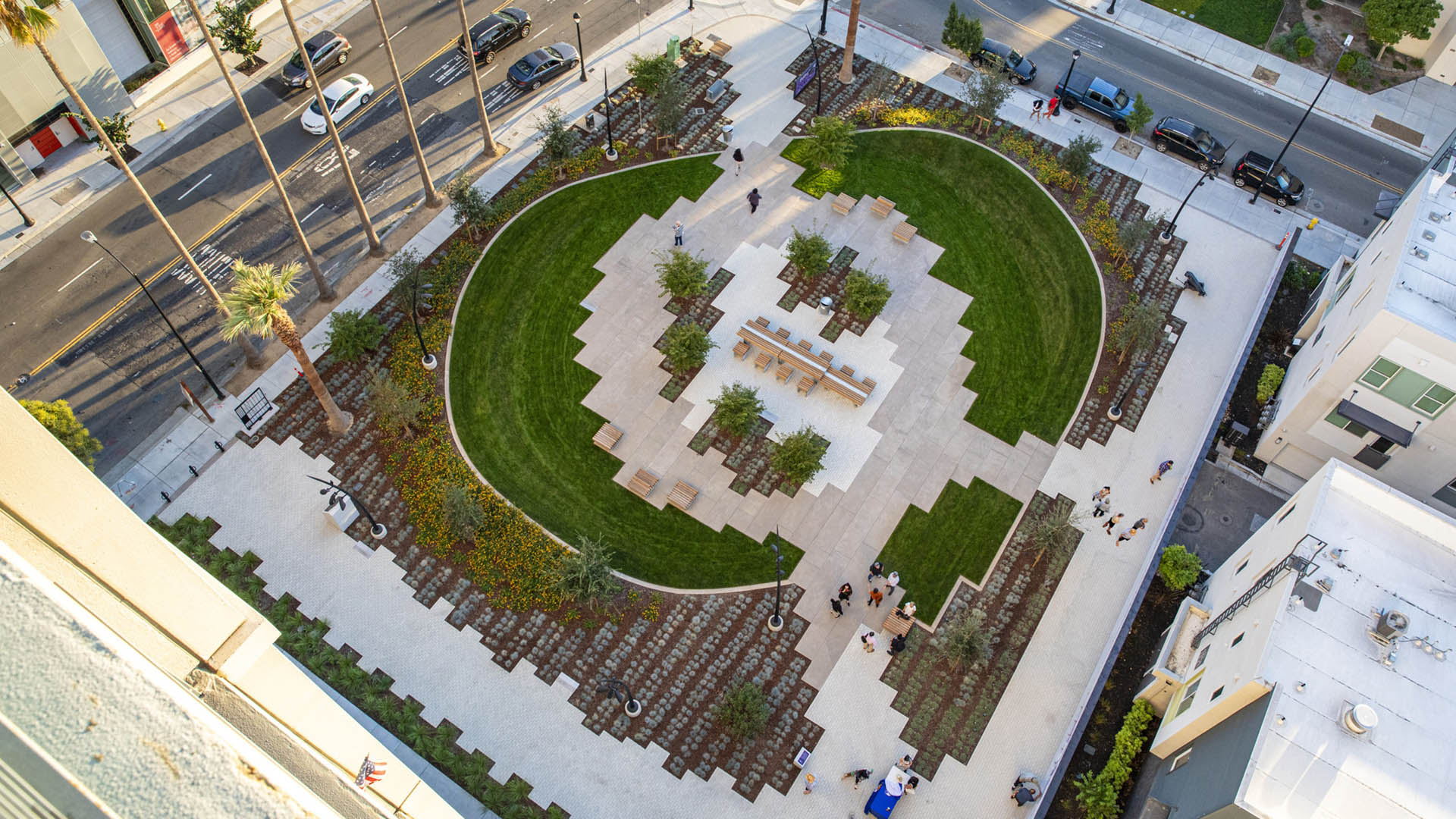

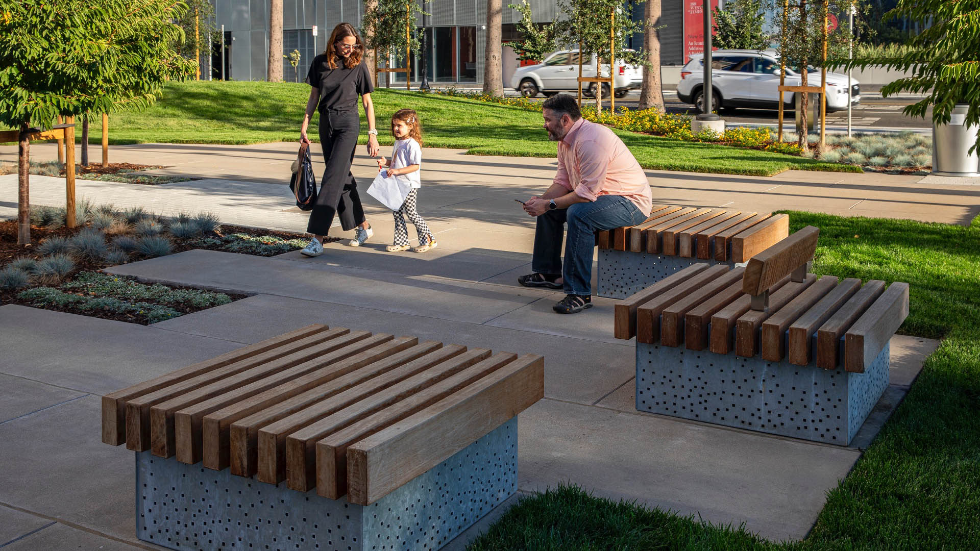
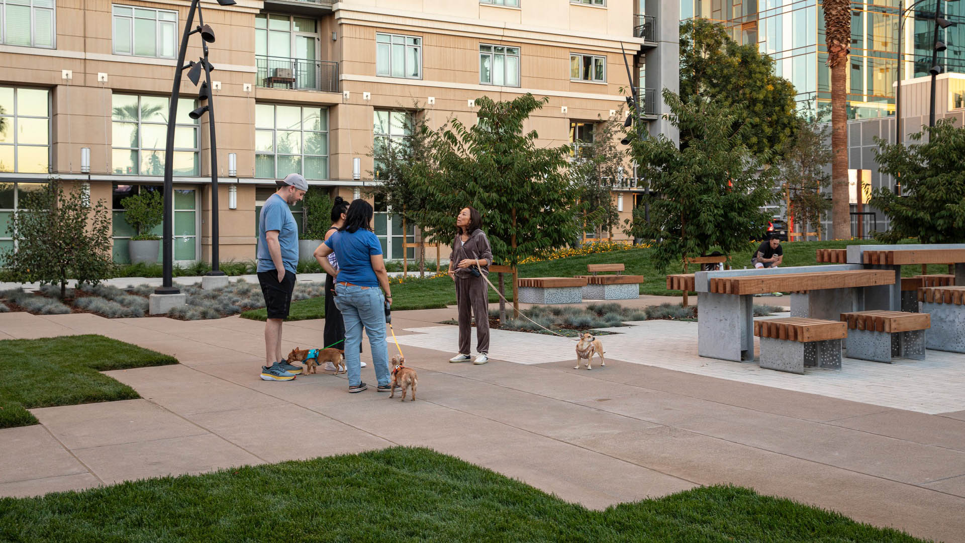
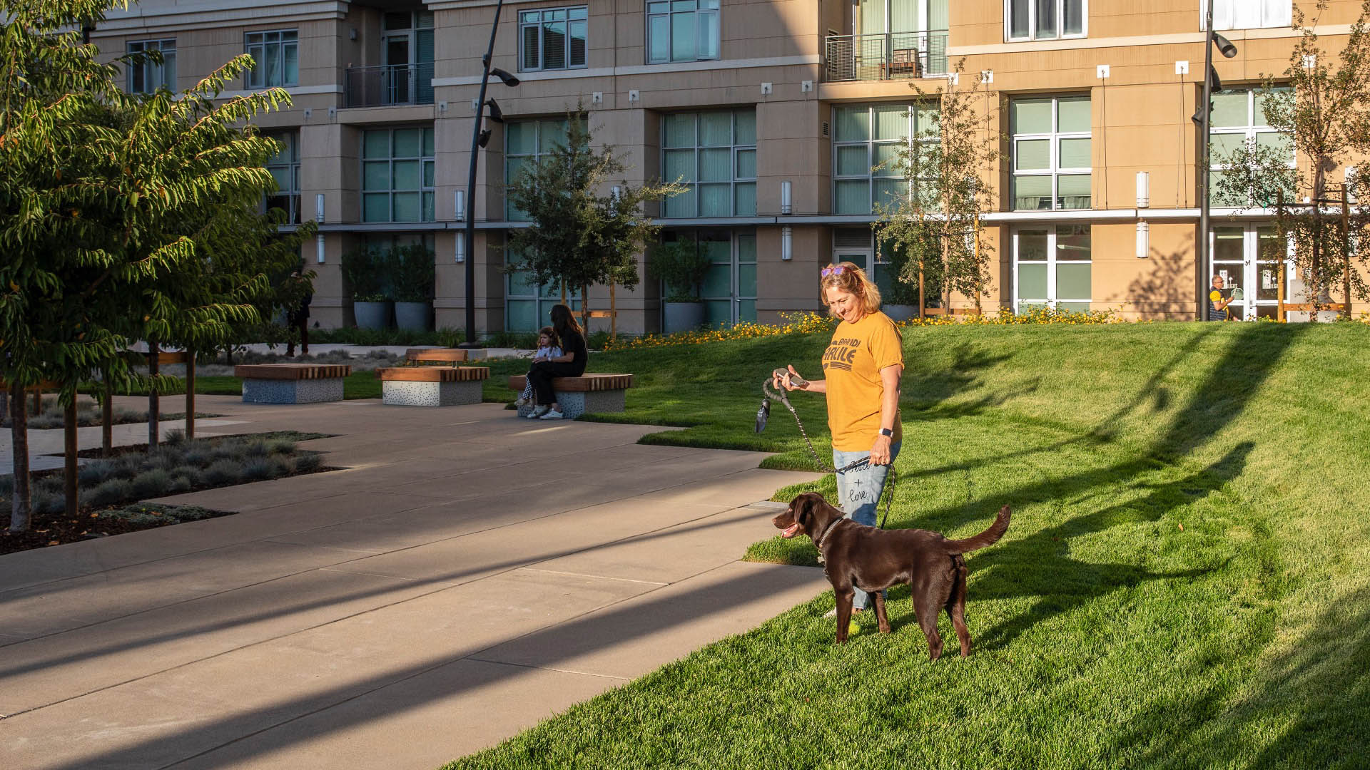
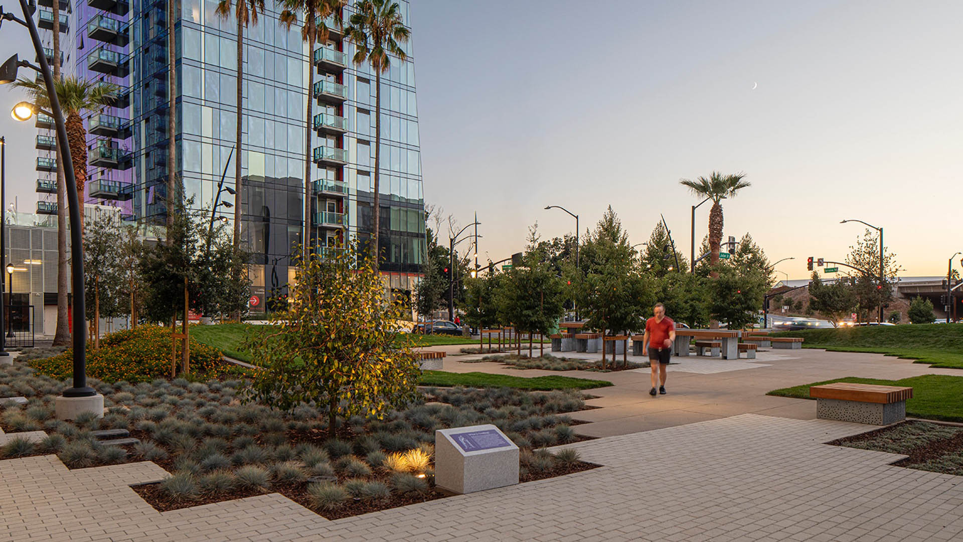
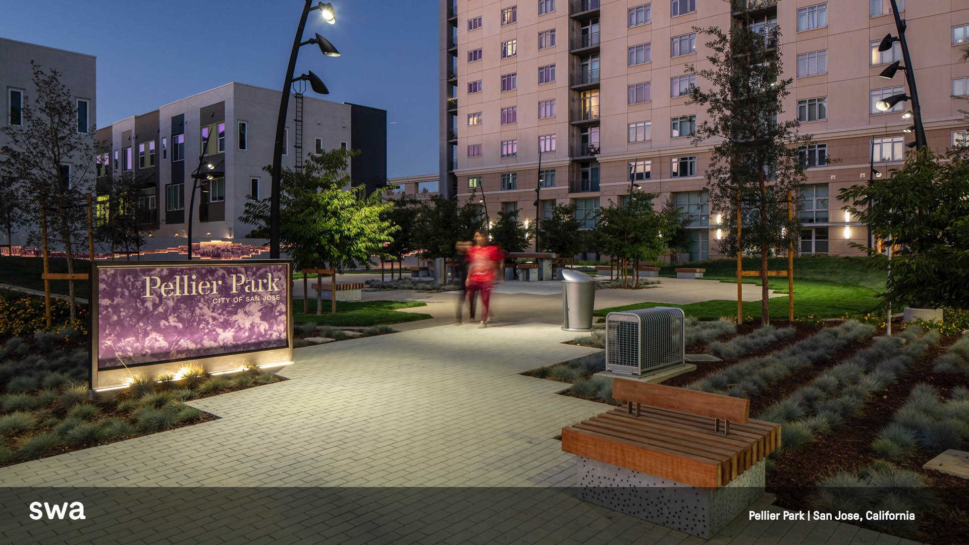
In the heart of downtown San Jose, the first of three new SWA-designed parks celebrates the plum tree and agricultural origins of Silicon Valley. The site is a registered California Historic Landmark and the original nursery of Louis Pellier, known as “ The Prune King’ who introduced the French Prune to the Valley in 1856 and sparked the orchard boom in California.
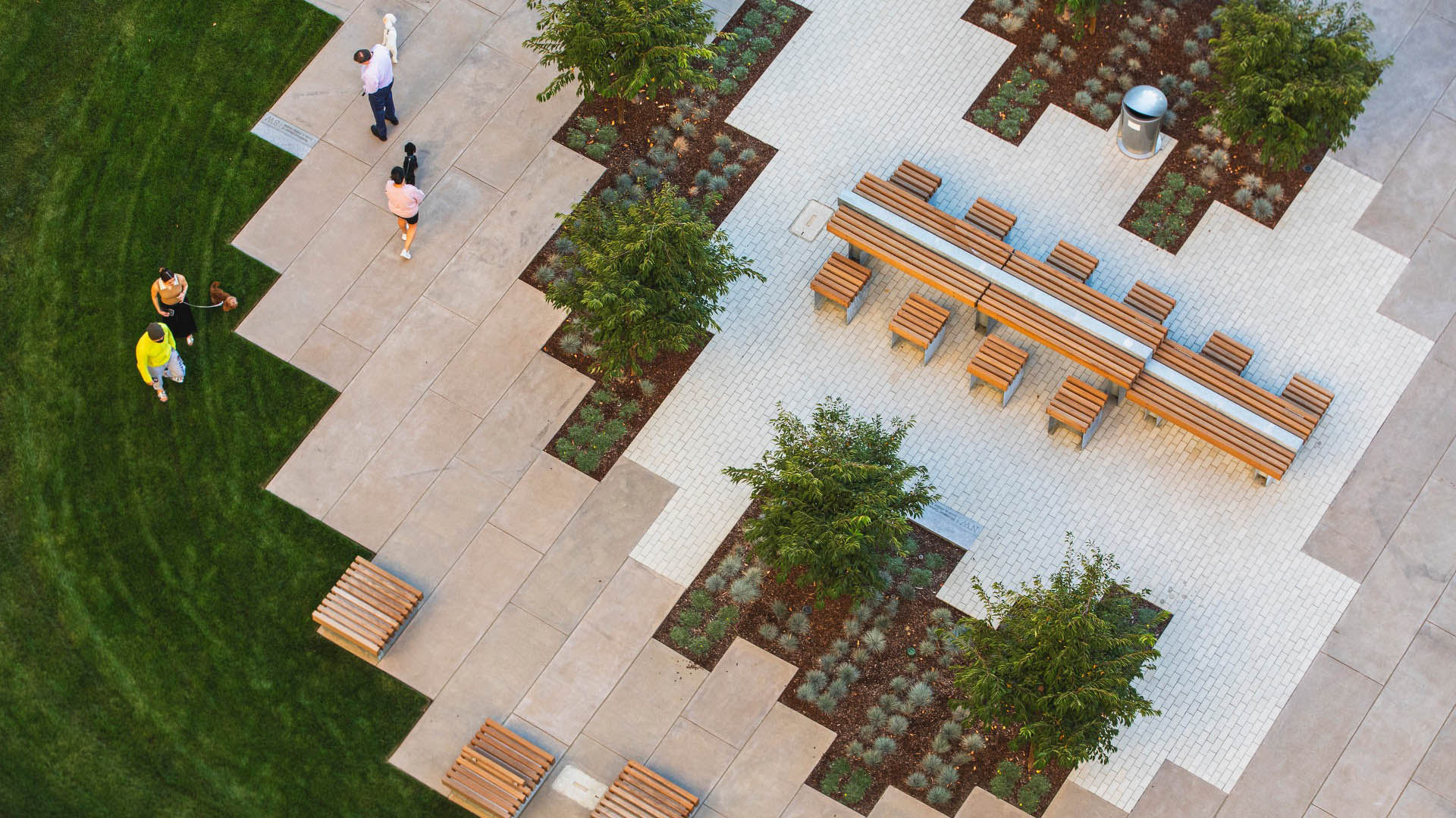
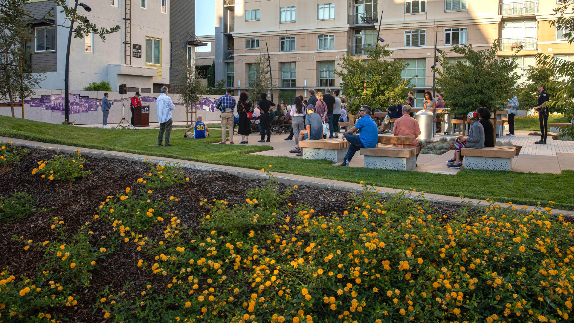
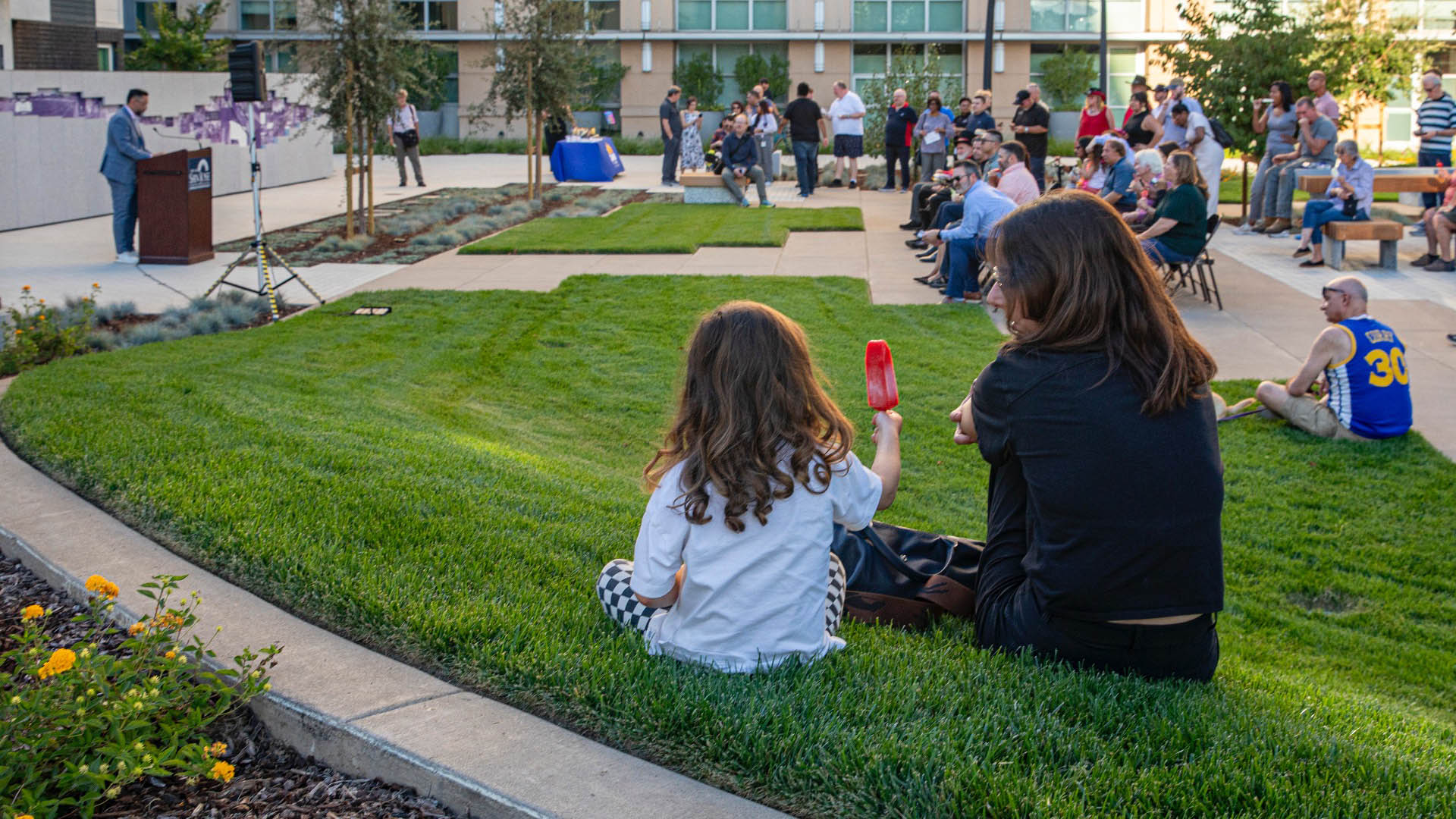
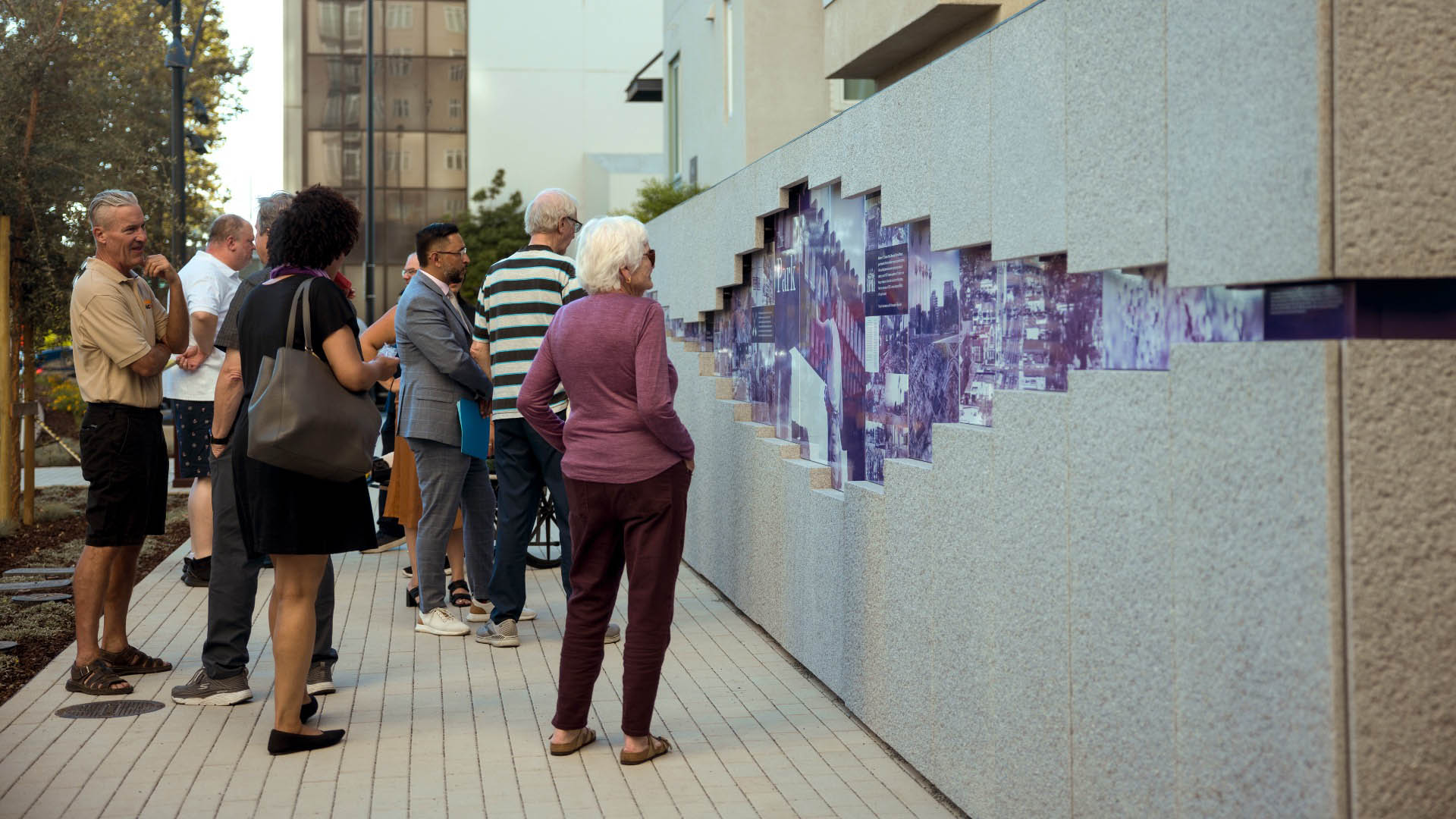
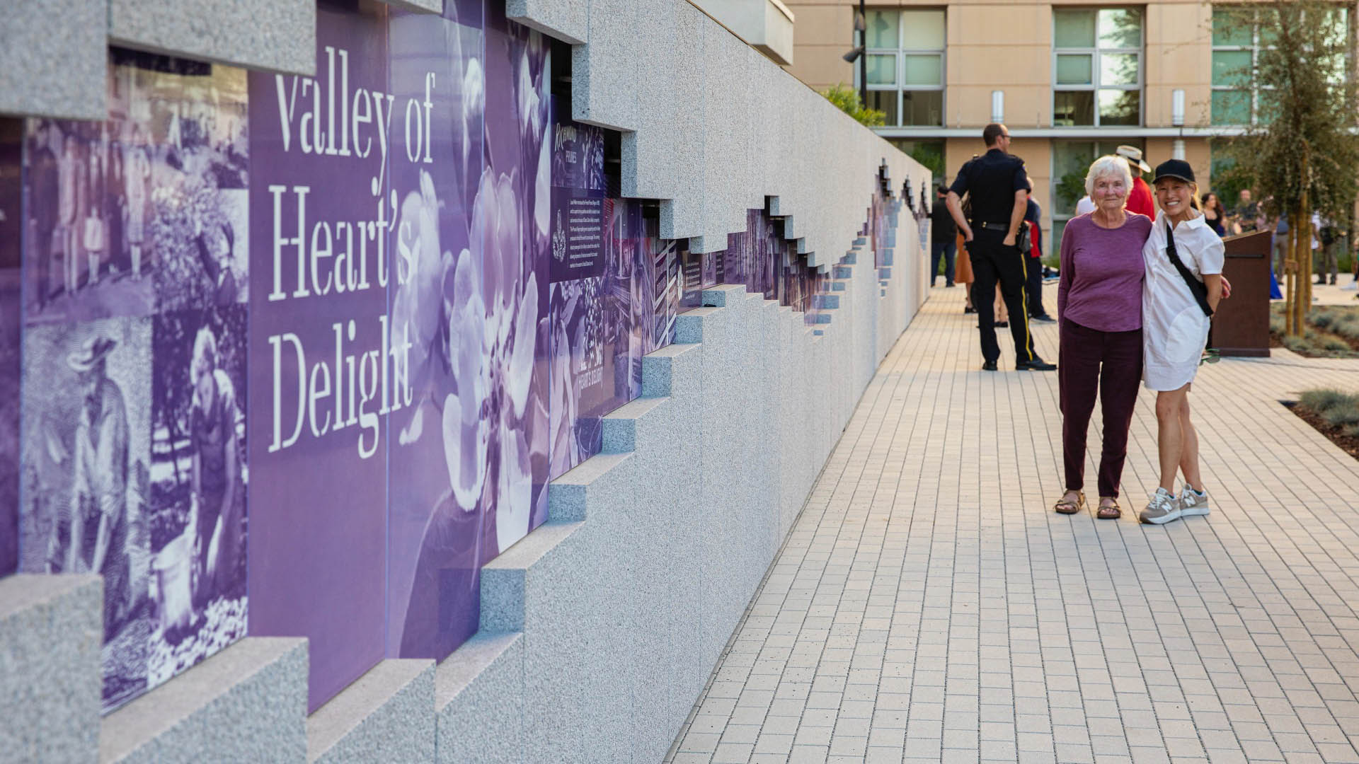
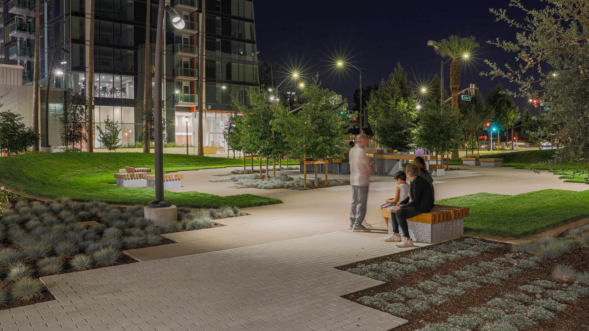
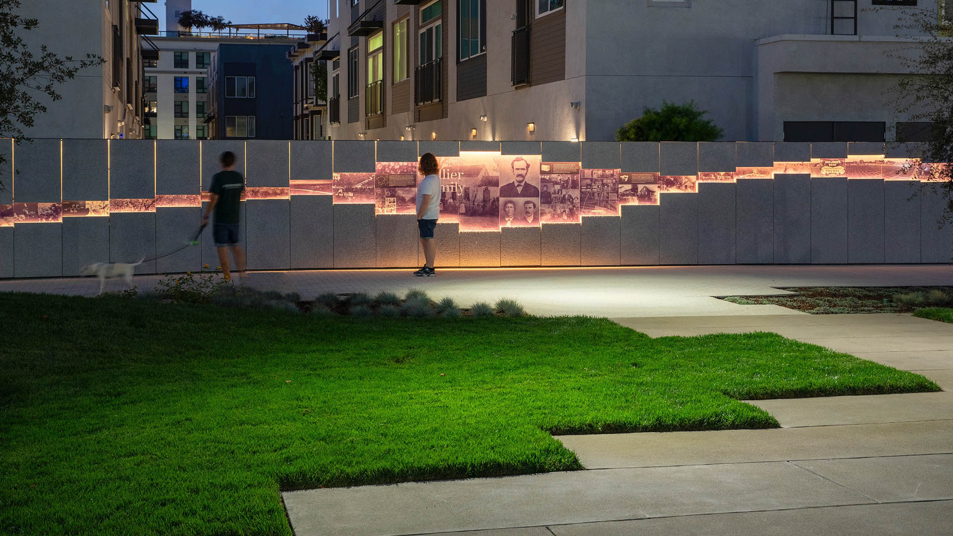
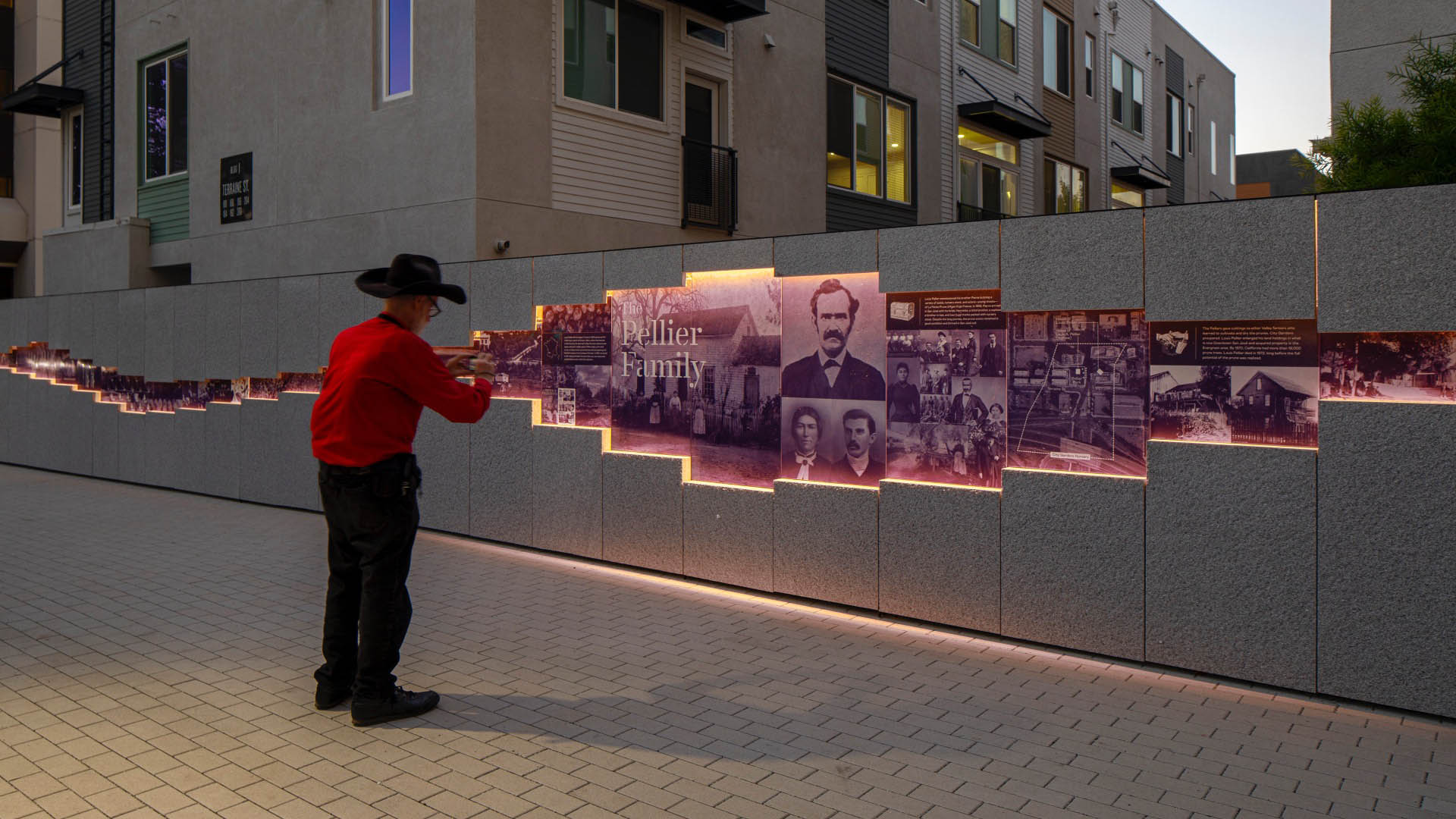
Seen from above, Pellier Park is designed in the shape of a plum, with the central “pit” delineating a common gathering space and grove, circulation paths and seating forming the “flesh,” tree-lined berms as the “leaves” buffering the park from exposure to traffic noise and pollution, and a northward paseo of flowering trees as the “stem.” A 115-foot long “storytelling wall” along the North edge of the park tells the tale of the Pellier family, the region’s agricultural history and memories shared by the community.
Ricardo Lara Park
Ricardo Lara Park is a vibrant city park and a case study in landscape infrastructure. It demonstrates how a small investment and creative thinking about landscape can transform the very infrastructure that has long divided and isolated a community into an amenity that unites it, offering much-needed environmental and recreational benefits.
Here, more ...
Ichigaya Forest
“Ichigaya Forest” is the privately owned, publicly accessible, major open space on Dai Nippon Printing Company’s 5.4-hectare new world headquarters in the Shinjuku Ward. Vertical development and production modernization that extends underground was made possible the creation of this 3.2-hectare open space. Over half the site is now planted wi...
Gantry Plaza State Park
Once a working waterfront teeming with barges, tugboats, and rail cars, the Hunter’s Point shoreline slowly succumbed to the realities of the Post-Industrial Age and this spectacular site was left to deteriorate. Thomas Balsley Associates, together with Weintraub di Domenico, envisioned Gantry Plaza State Park as a place that celebrates its past, future, skyli...
Polliwog Park
Originally built in the 1970s, Polliwog Park is a high-use neighborhood amenity that provides active recreation and play facilities to local families. The original playground was replaced in 2003 but required a full update in 2020 to account for routine flooding. SWA’s design allows the park to remain an active community feature year-round.
In addition ...