Spanning over 460 acres and 8 linear miles of waterfront, the Port of Los Angeles is among the most important pieces of infrastructure in the Western Hemisphere—the largest container port in the U.S., a linchpin for global logistics, and an industrial hub critical to San Pedro and L.A. County at large.
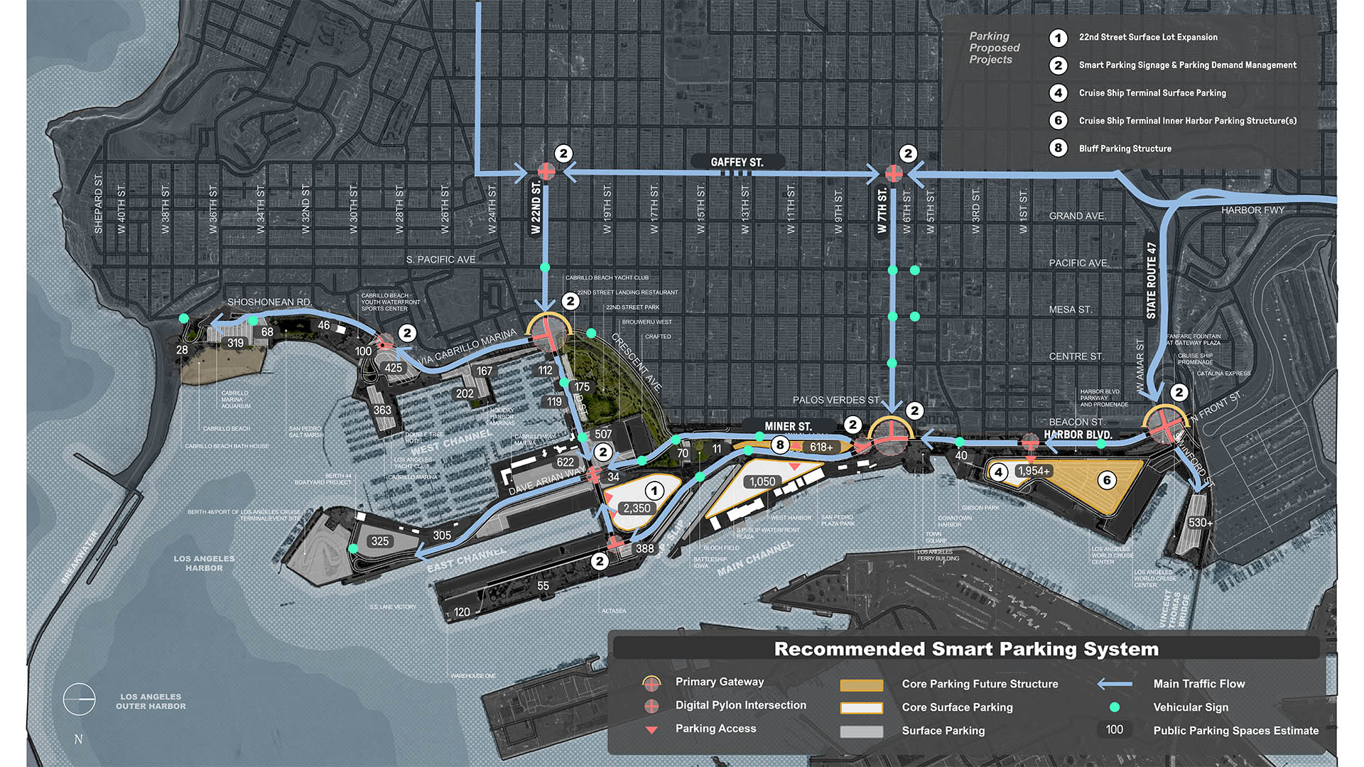
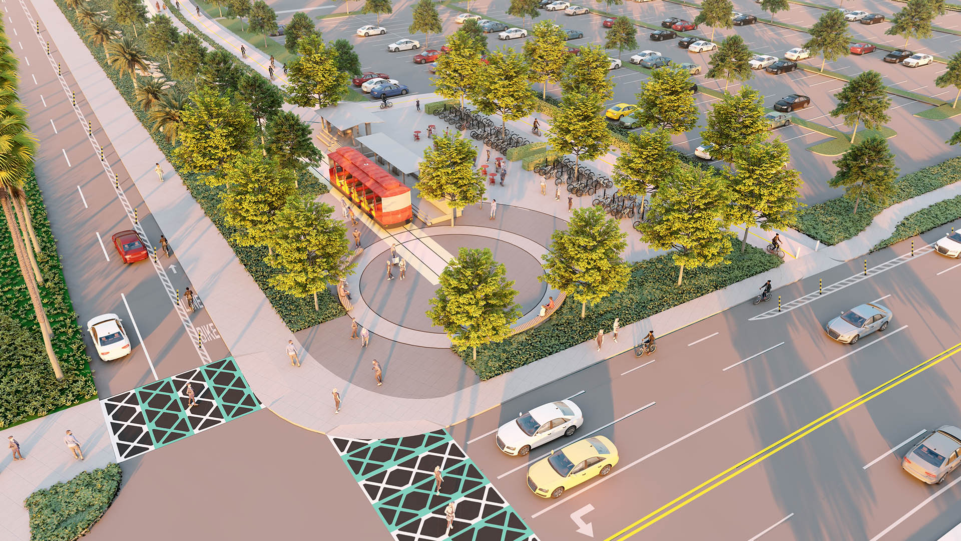
Today, the Port is imagining a more connective, accessible, and resilient future waterfront. Building on nearly $234 million in public access investment over the past two decades, the San Pedro Waterfront Connectivity Plan weaves together multiple goals, presenting strategies to enhance connectivity between the San Pedro shoreline, adjacent neighborhoods, and the wider region.
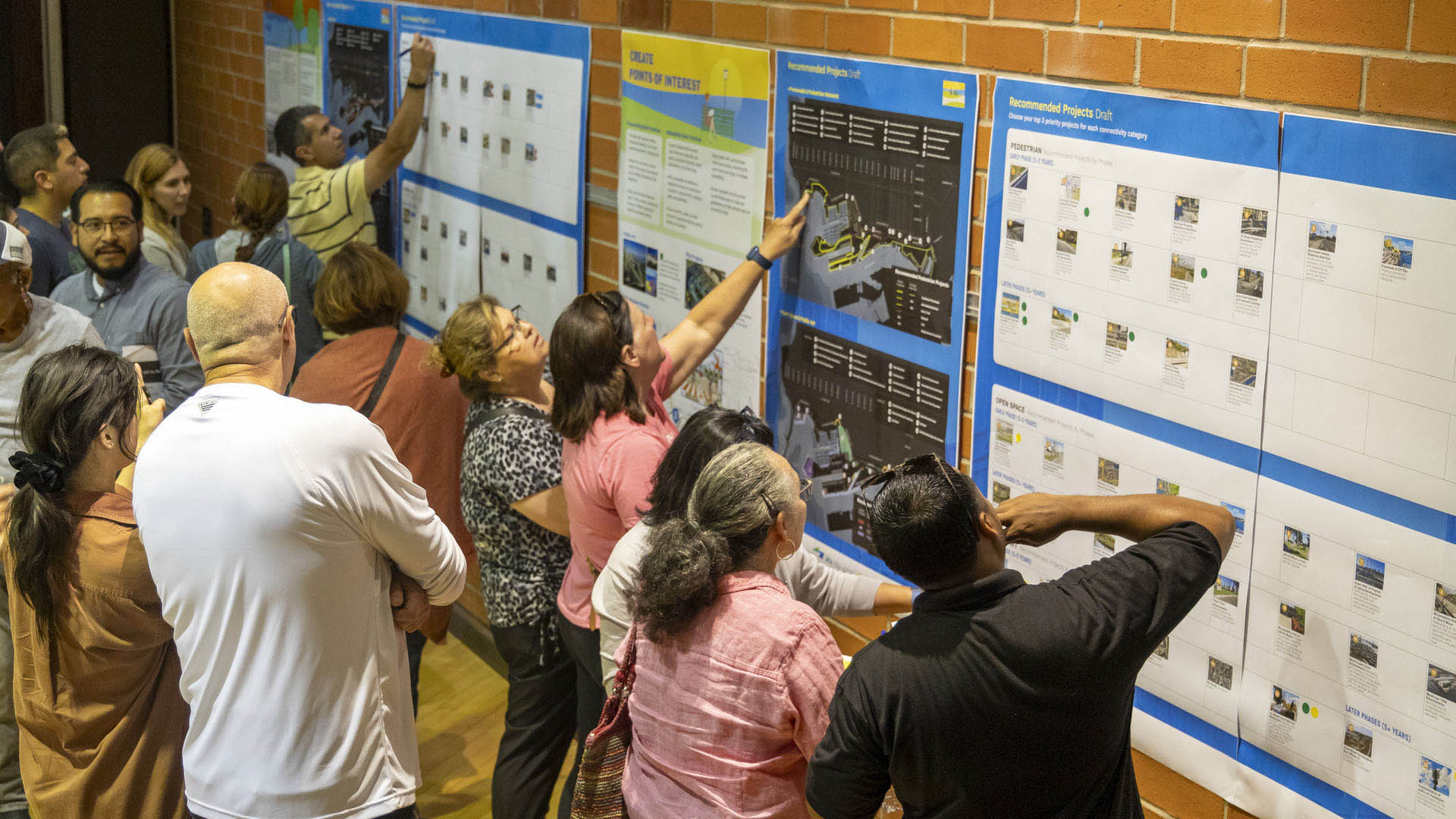
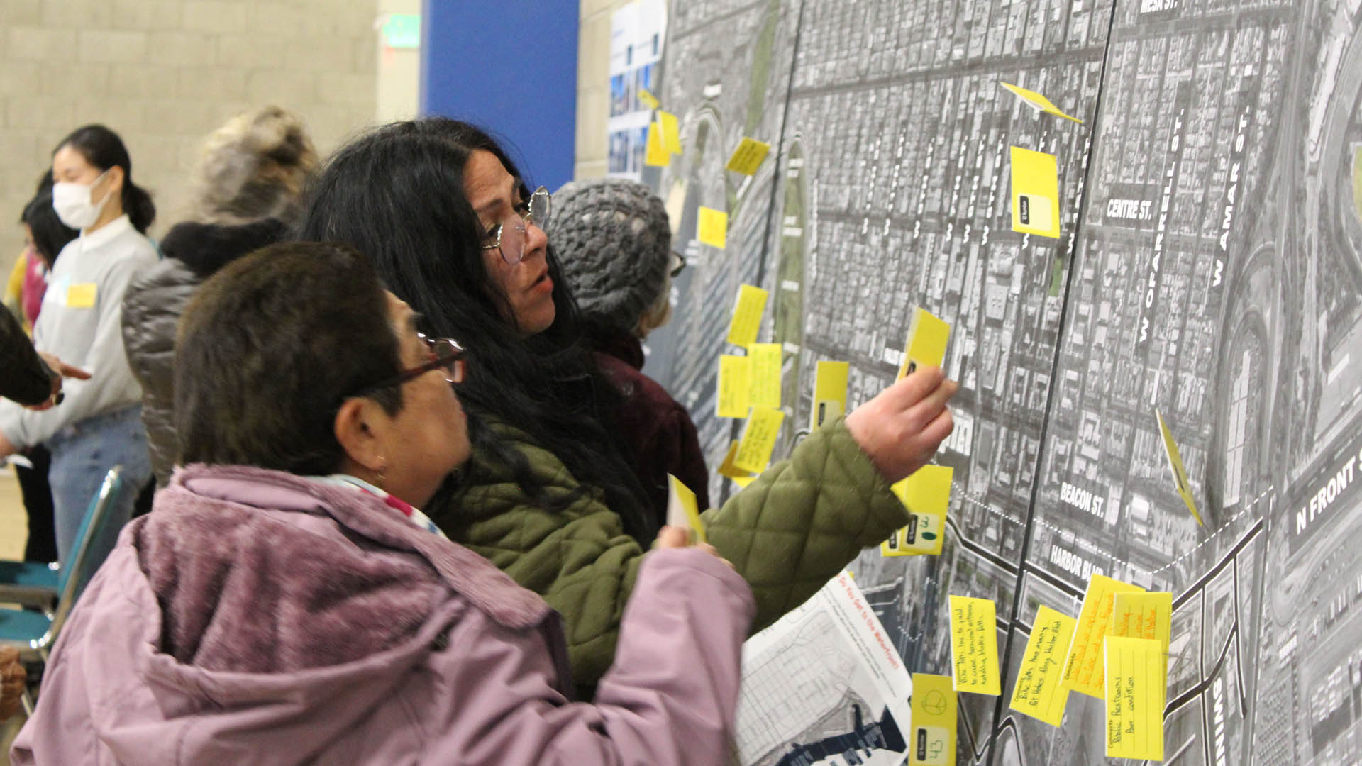
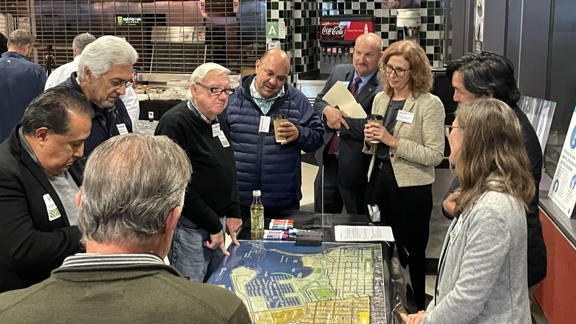
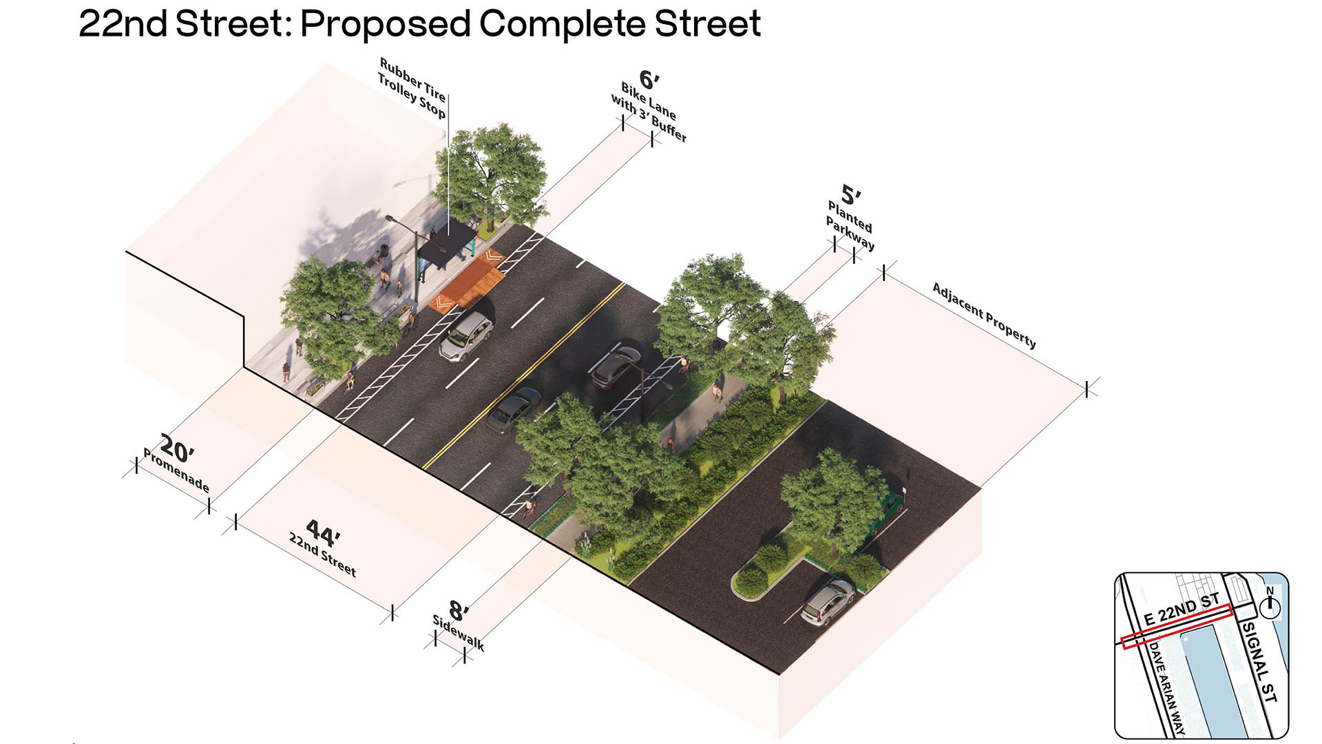
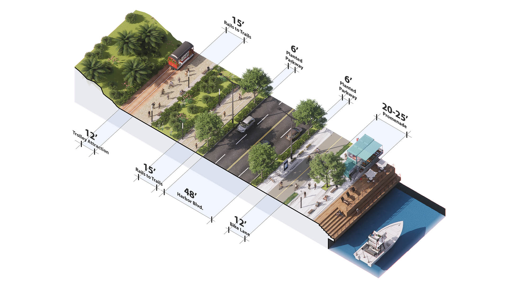
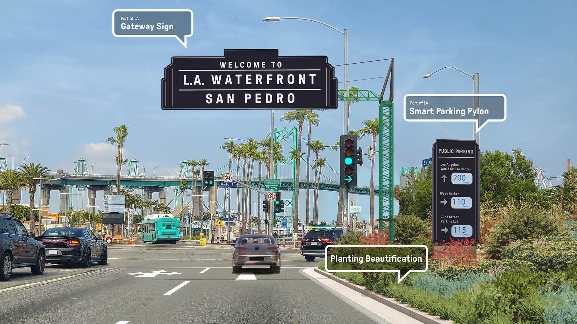
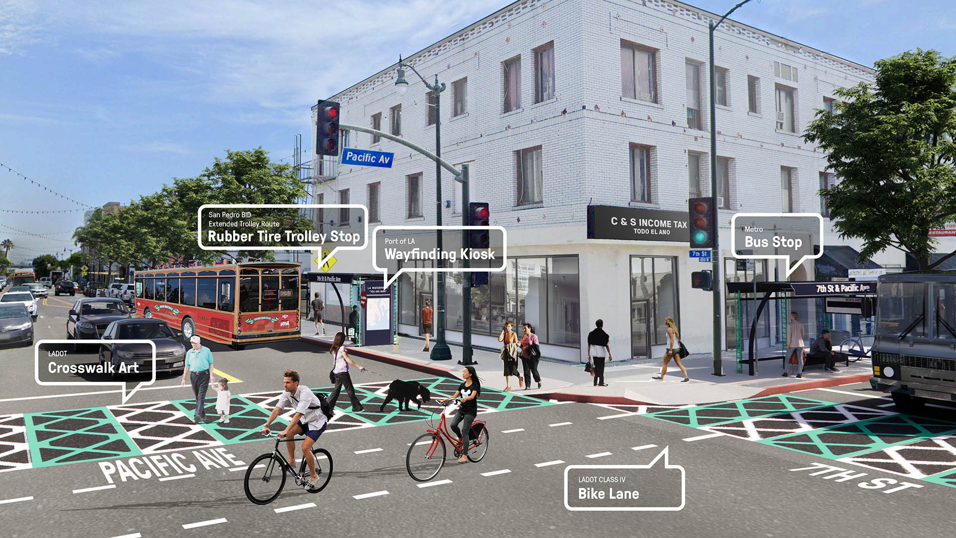
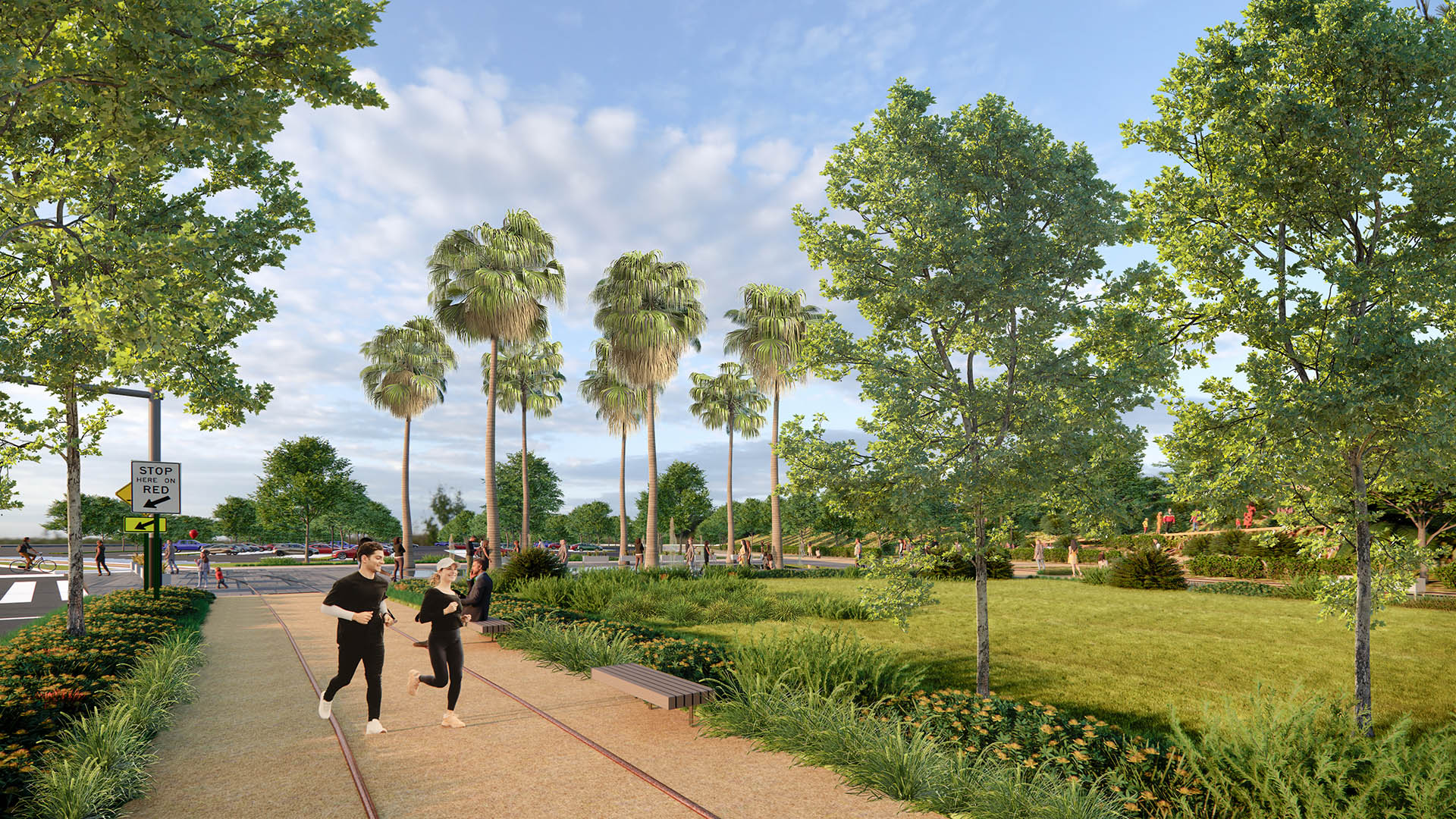
Building on extensive community engagement events including nearly 300 participants, the plan presents a comprehensive set of recommendations spanning vehicular, pedestrian, bicycle, public transit, and water-based mobility across the Port—as well as outlining open space, public art, wayfinding, and recreational opportunities. Direct connections to local climate action policy are woven throughout the plan, positioning the Port to deliver on its long-term sustainability goals in all proposed projects.
Navigating highly complex conditions, the plan brings together fundable, feasible, and resilient strategies to define a cohesive waterfront experience, solve for immediate connectivity issues, and remain adaptive to future use—a framework for a world-class waterfront destination for L.A. and the region.
Learn more:
Riverside Park South
Located on the West Side of Manhattan on the scenic Hudson River shoreline, Riverside Park South is a massive, multiphase project of sweeping ambition and historic scope. Combining new green space, new infrastructure, and the renovation of landmark industrial buildings, the plan – originally devised by Thomas Balsley Associates in 1991 – is an extension of Fre...
Longgang River Blueway System
The Shenzhen Longgang River Blueway System is envisioned to unlock the tremendous land value of this 13-mile-long suburban watershed and galvanize the city’s future growth. SWA’s proposal addresses urbanization issues pertaining to water, the environment, and open space shortage, while also activating industrial and cultural revitalization in the surrounding d...
Aitken Place Park
Aitken Place Park is at the heart of Toronto’s East Bayfront Community – an area transformed from an underutilized industrial brownfield into a vibrant waterfront neighborhood. Flanked by the residential development to the west and the commercial buildings to the north, the park’s water’s edge location creates a unique destination that invites residents, touri...
Hunter's Point South Waterfront Park
Hunter’s Point South Waterfront Park was envisioned as an international model of urban ecology and a world laboratory for innovative sustainable thinking. The project is a collaboration between Thomas Balsley Associates and WEISS/MANFREDI for the open space and park design with ARUP as the prime consultant and infrastructure designer.
What was once a ba...


