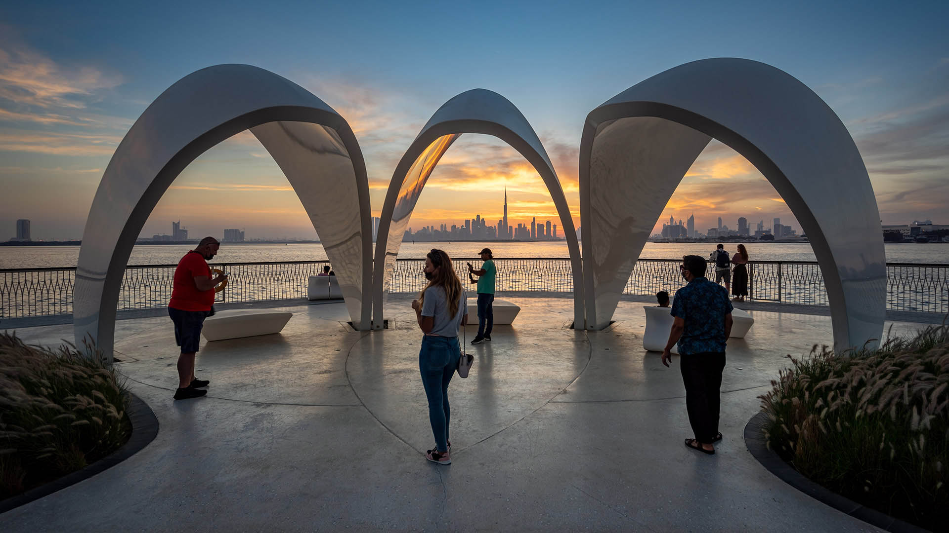
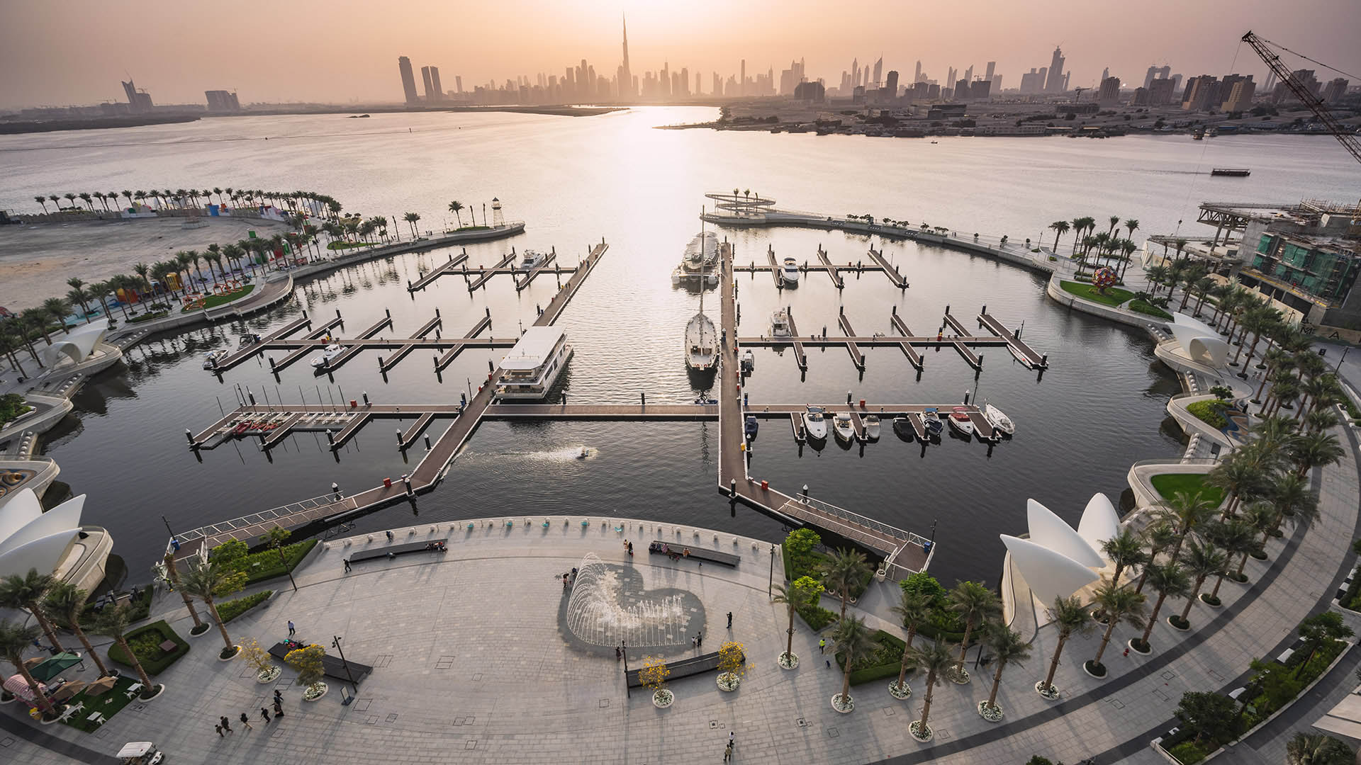
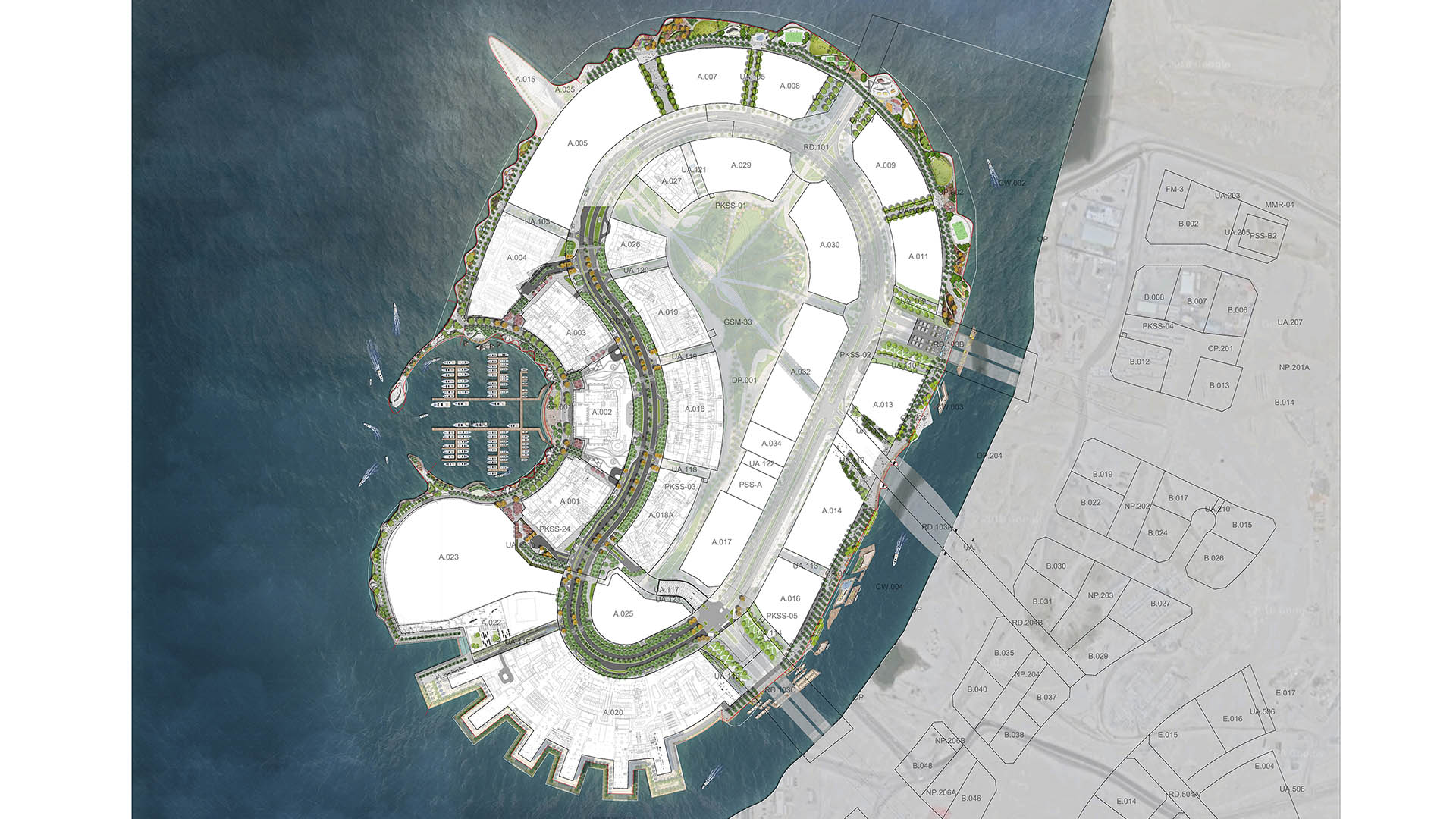
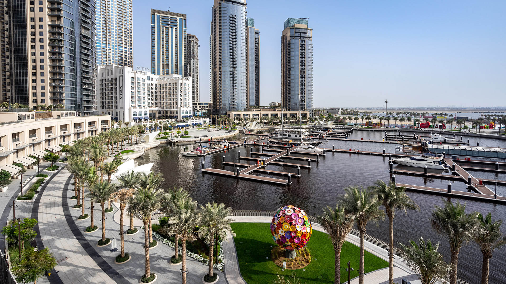
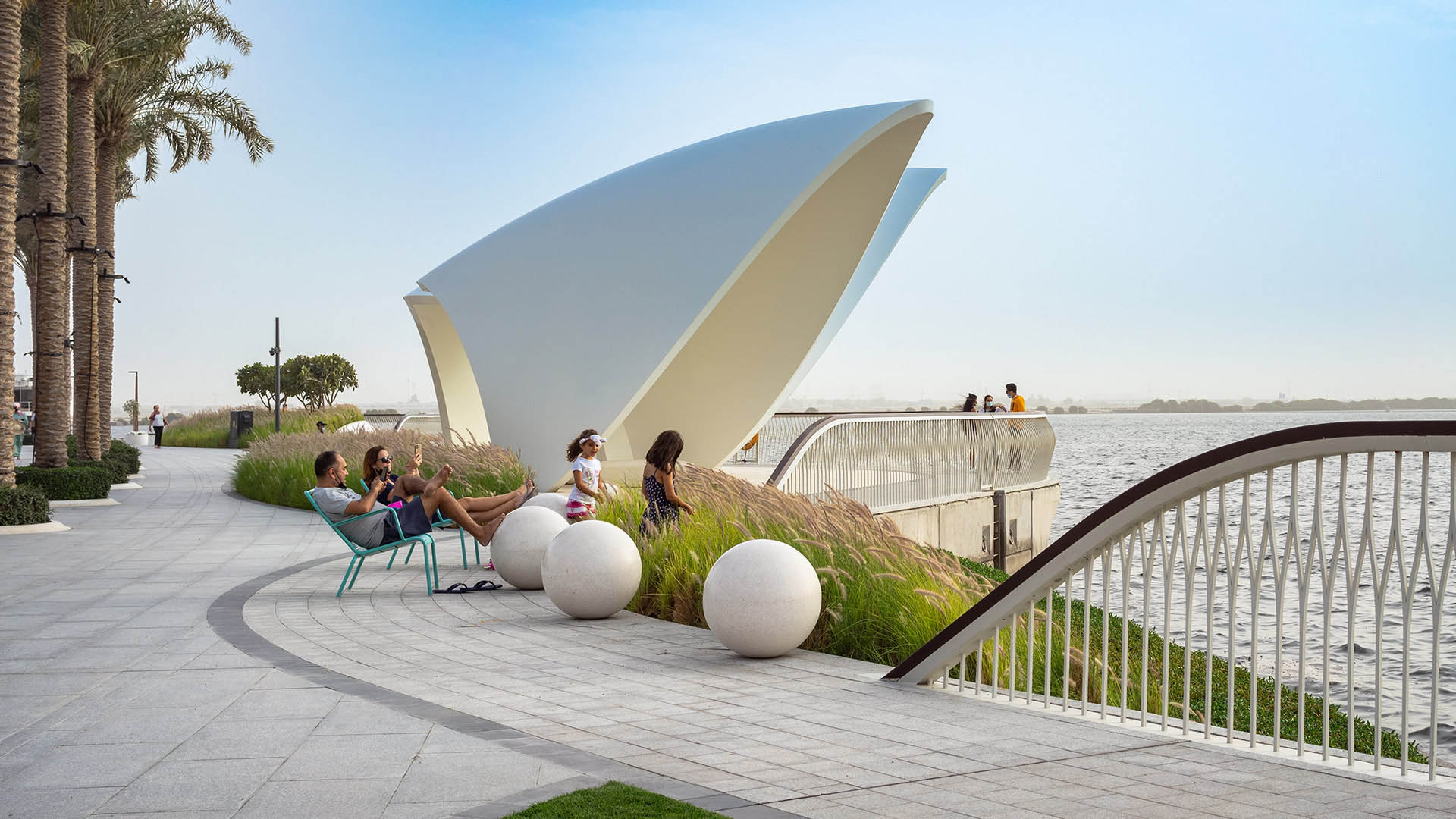
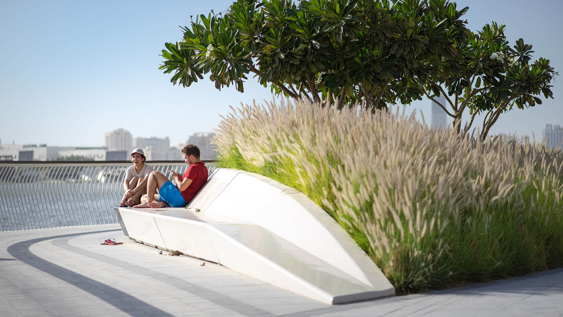
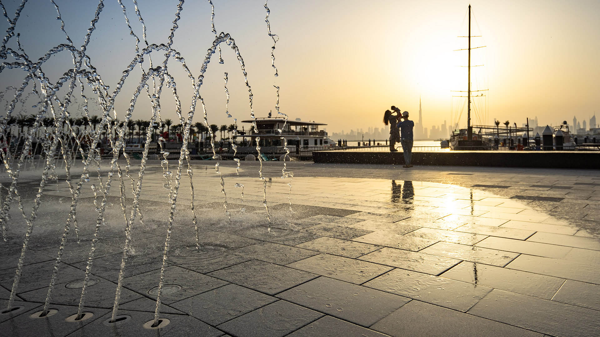
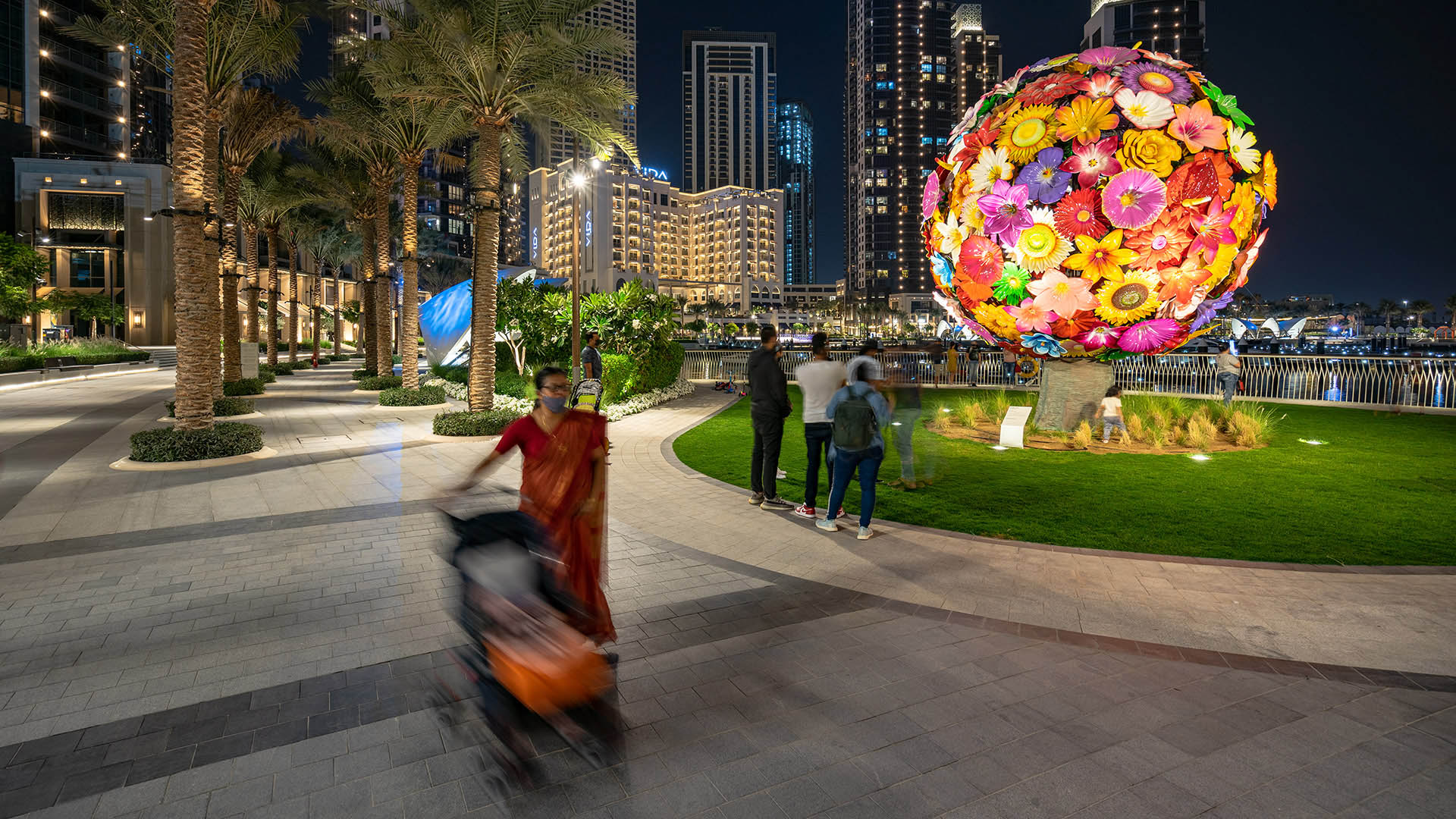
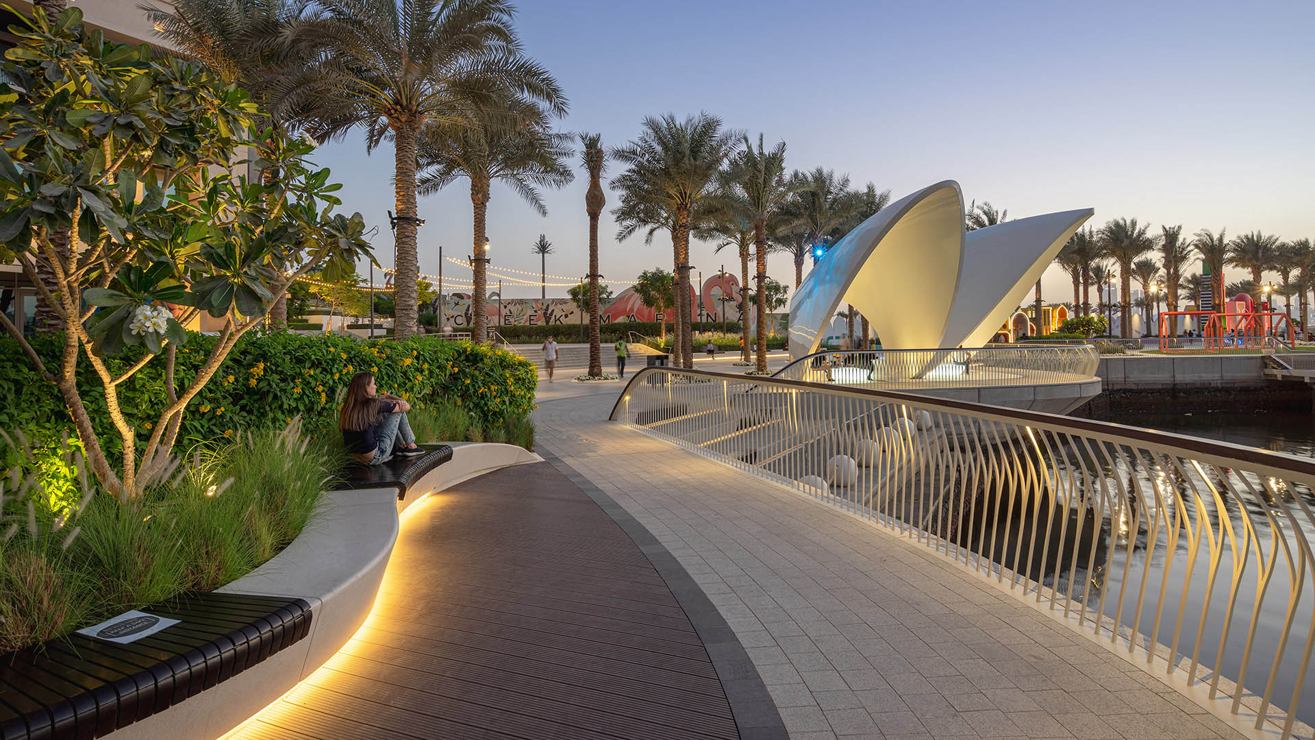
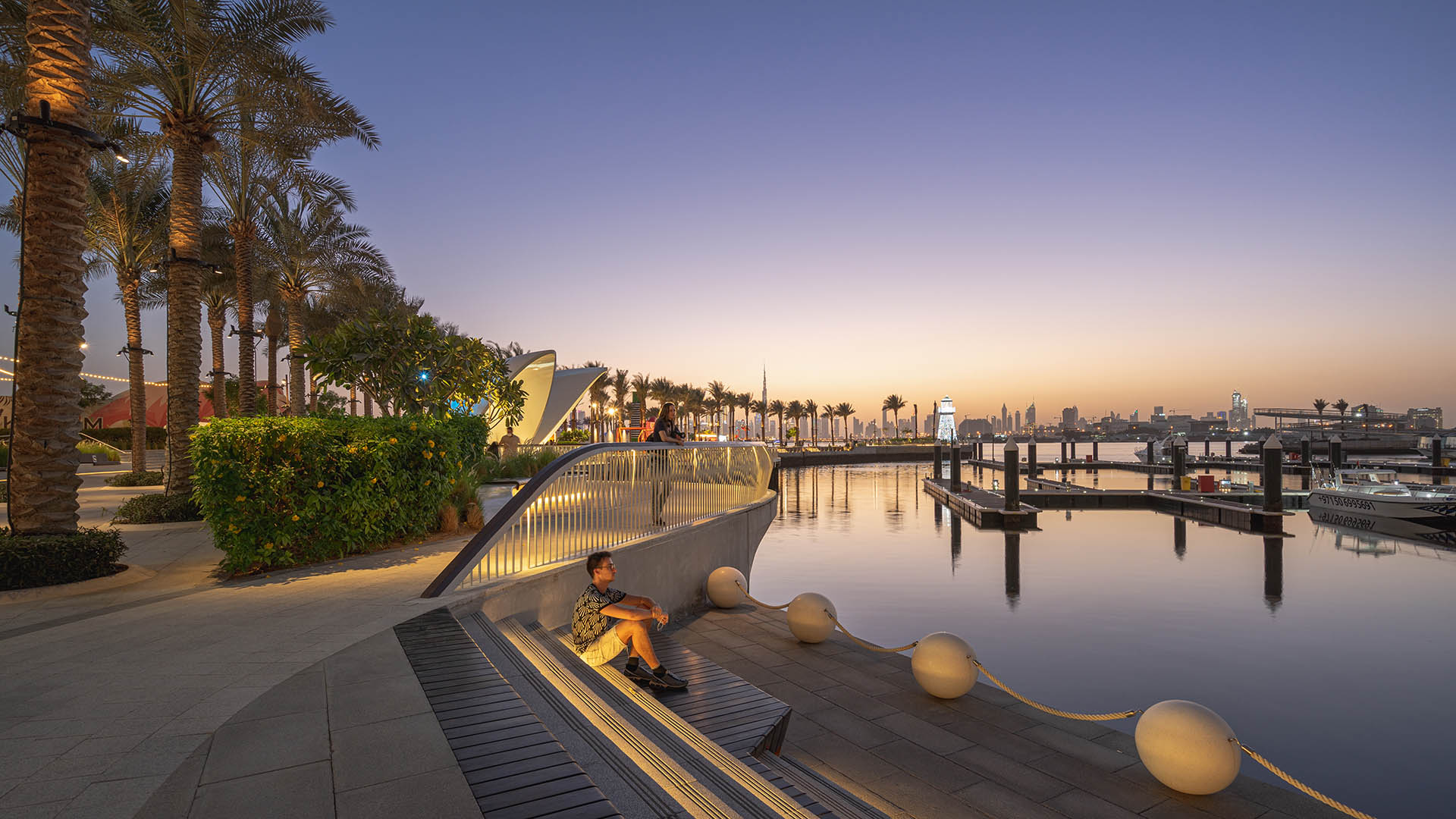
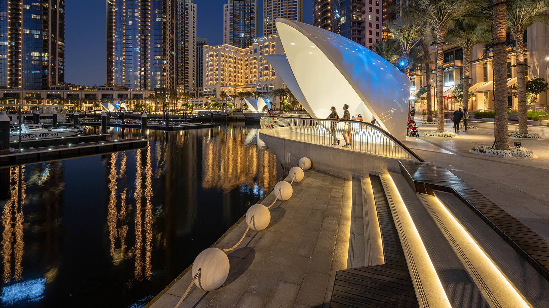
Dubai Creek Harbor is a progressive and innovative new neighborhood that aims to respond to environmental concerns with professional, best-practice measures that will ensure an environment that is healthy, accessible, and environmentally responsible.
The storied history, culture, and nature of Dubai Creek serves as the inspiration for the design of Dubai’s newest public realm. Dubai’s relationship to the water is an essential part of its history. For over 7,000 years, the earliest civilizations within the region have enriched their lives via pearl harvesting, which brought personal wealth, regional prosperity, and an intimate connection to the sea that is still prominent in Emirati culture. Although pearl harvesting as an industry is almost obsolete today, the pearl and its shell enclosure serve as the design basis for the modern metropolis we know today. The design, material selection, and construction approach for the harbor have been inspired by key features of the shell, such as its texture, luminosity, shape, and haptic qualities. References to the qualities and nature of the shell are interwoven throughout the visitor and residential experience. Strategies aim to increase site vegetation, dark-sky compliance lighting, and employ light-colored materials and native planting palettes, all which contribute to a greener development.
Hangzhou Grand Canal
For centuries, the Beijing-Hangzhou’s Grand Canal – a staggering 1,000 linear miles which remain the world’s longest man-made waterway – was a lifeline for commerce and communication. The water’s edge was necessary for trade, a logical place to live, and often a driver of innovation. However, as with many waterfronts globally, it eventually fell victim to the...
St Johns Riverfront Design Incentive Strategy
As part of a larger effort to establish its downtown as a center for business and culture during a period of unprecedented growth, the City of Jacksonville was in need of a design and investment strategy for its underused waterfront along both banks of the St. Johns River. The design team’s approach entails both a large-scale and a node-based strategy, identif...
San Pedro Waterfront Connectivity Plan
Spanning over 460 acres and 8 linear miles of waterfront, the Port of Los Angeles is among the most important pieces of infrastructure in the Western Hemisphere—the largest container port in the U.S., a linchpin for global logistics, and an industrial hub critical to San Pedro and L.A. County at large.
Today, the Port is imagining a more connective, acc...
Aitken Place Park
Aitken Place Park is at the heart of Toronto’s East Bayfront Community – an area transformed from an underutilized industrial brownfield into a vibrant waterfront neighborhood. Flanked by the residential development to the west and the commercial buildings to the north, the park’s water’s edge location creates a unique destination that invites residents, touri...


