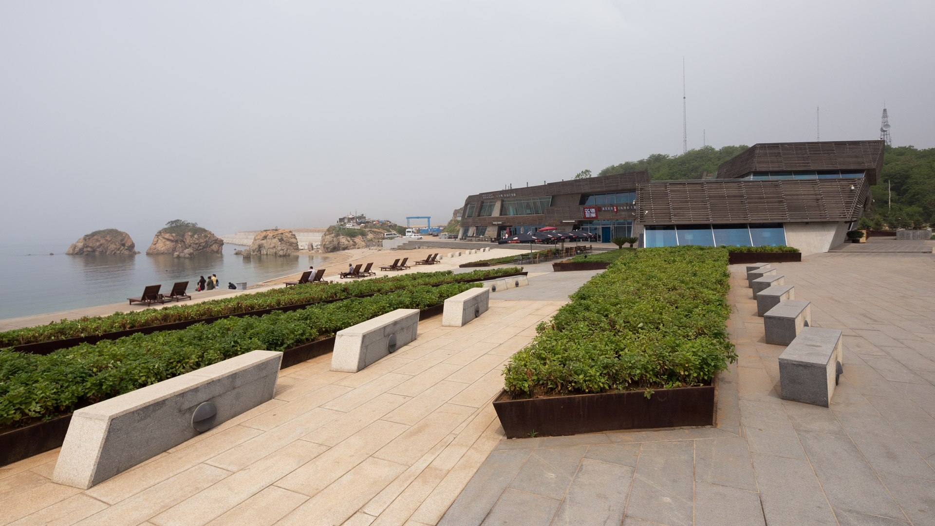
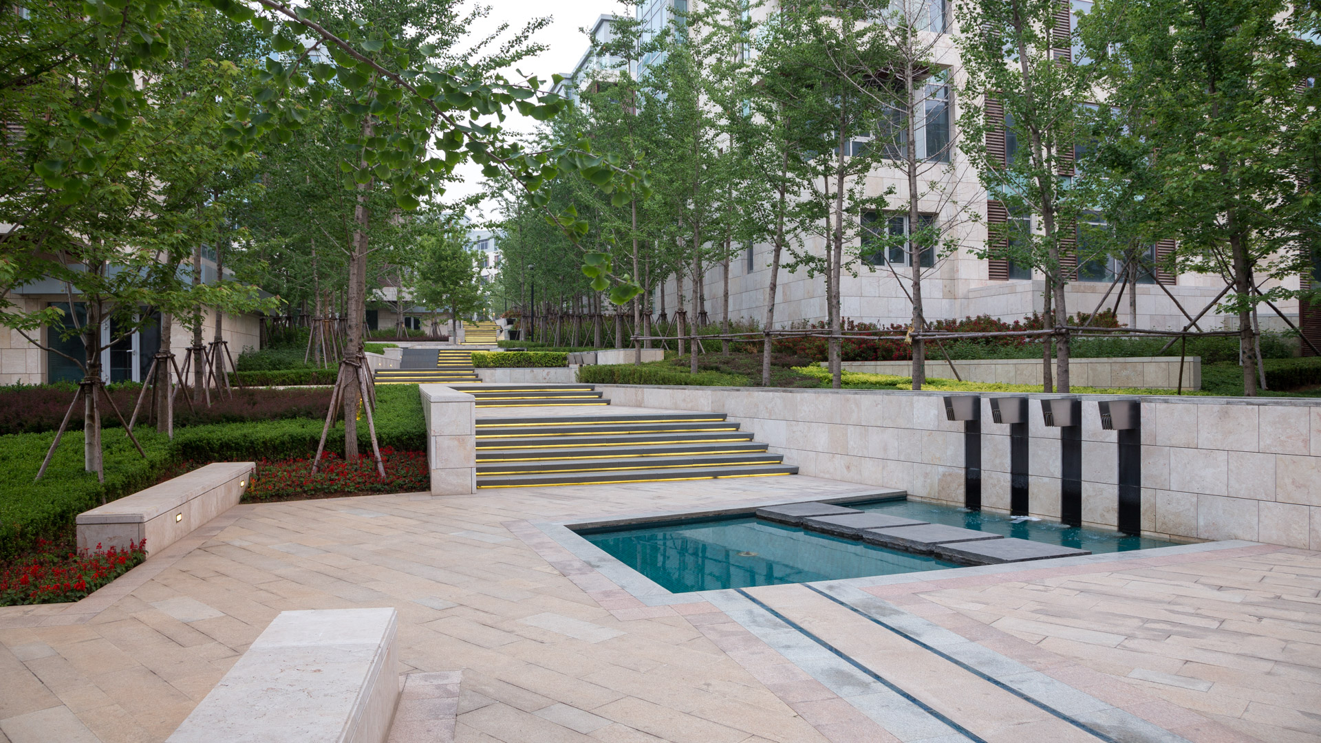
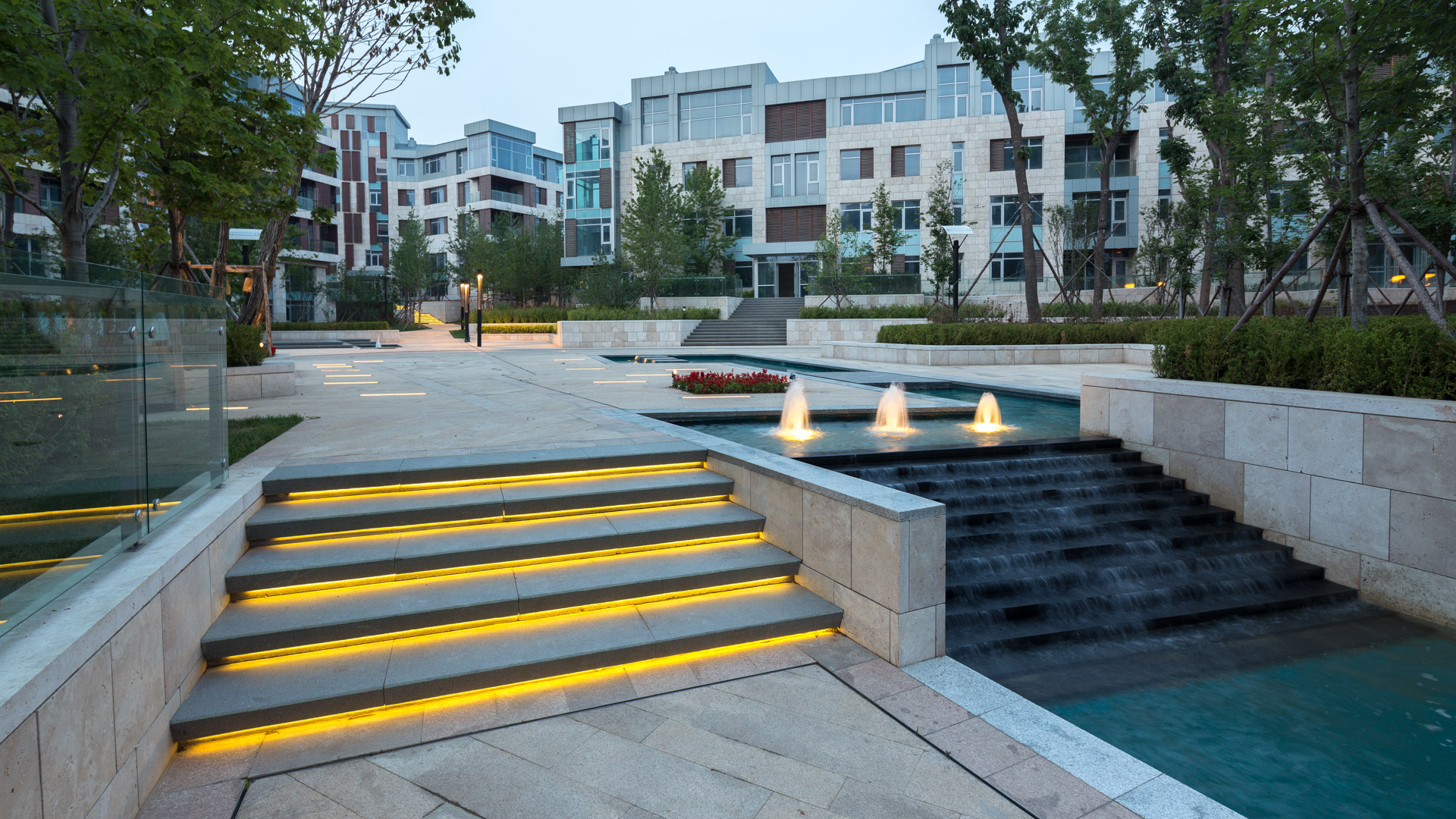


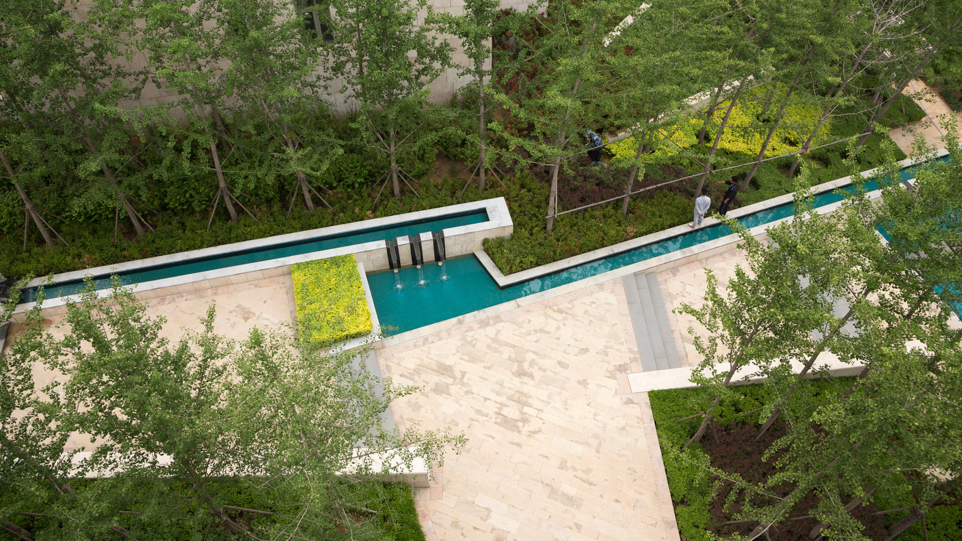
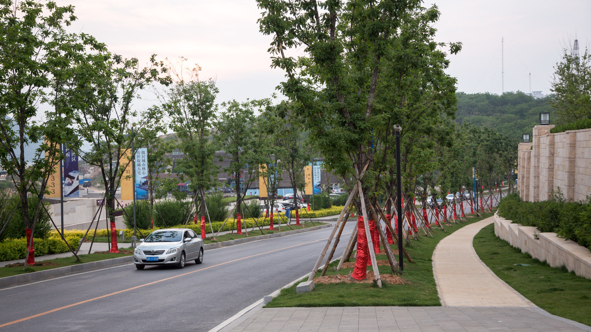
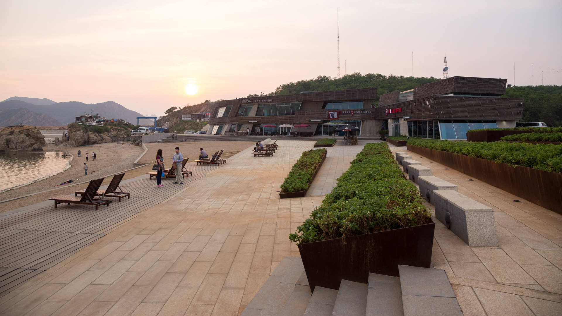
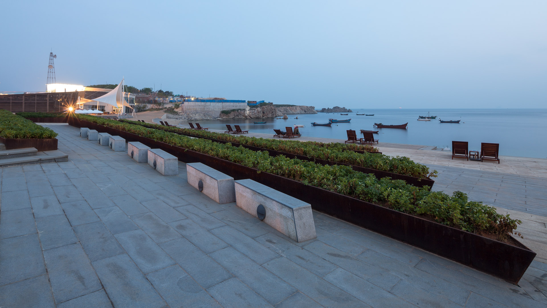

The Amber Bay residential development is located on a beautiful rocky promontory that is among the last available parcels along the Dalian shoreline, southeast of the city center. The project features high-end low density modern style residential development including single family villas, townhouses, and low-rise condominiums; shops and seafood restaurants on the shoreline frontage; a specialty hotel and visitor facilities on the peninsula; and a clubhouse with driving range on the inland area. A central pedestrian spine imparts a poetic recall of a ravine, connecting the lower highway and the retail center with the upper highway and the nearby hilltop pavilion into one continuous pedestrian environment. The site plan reflects the dramatic shoreline geology, and respects existing topography, vegetation, and coastal views.
Mission Viejo Civic Core
The City of Mission Viejo hired SWA to analyze its core area for revitalization potential. The area contains a mix of civic, commercial, and recreational uses. A fragmented ownership pattern, dated architectural design, endless surface parking, minimal landscaping, and the lack of a pedestrian-friendly environment hindered the establishment of a town center th...
Vineyard Estate
Nestled against a natural rock outcropping, the estate and vineyard commands a panoramic view over the town of Sonoma with extended views to San Francisco. SWA developed a master plan that recommended relocating the house before its construction. This wine country residence features dominant roof forms and the tight integration of interior and exterior spaces ...
Poly Vita Residential Community
Situated within Foshan’s emerging art district near the Nanhai Art Center, Poly VITA reimagines high-density residential living by drawing from the spatial traditions of Lingnan water town culture. The design translates the layered, processional quality of classical southern Chinese gardens into a contemporary community landscape, moving residents throug...
Revisiting SunCity Kashiwa
Elderly residents at SunCity Kashiwa are no longer at a loss for dinner conversation: an underutilized terrace outside their extensive ground-level common spaces now features a dramatic pond and mountain-inspired rock formation with multiple cascading waterfalls. Everyone wants a window seat. The striking water feature crowns a new four-season view garden desi...