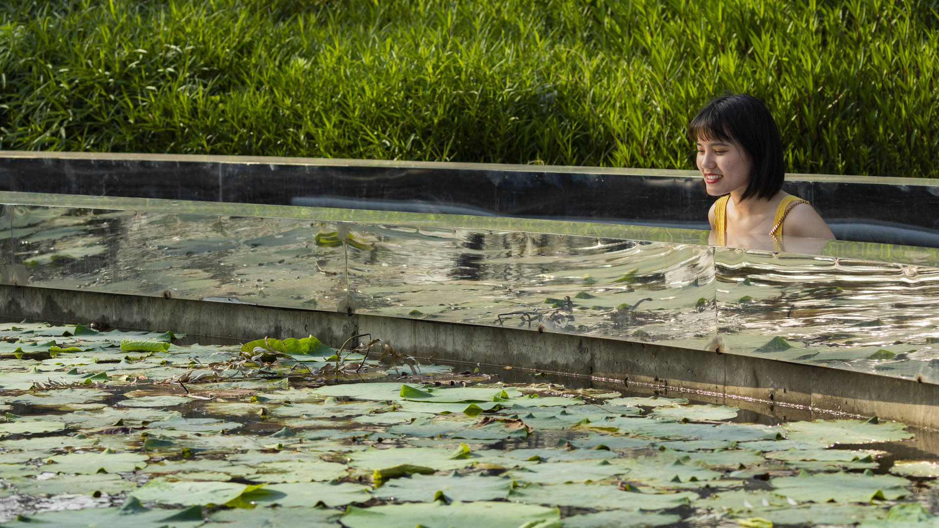
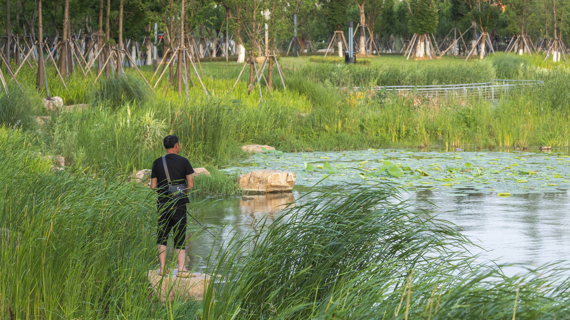
PHASE 1: Wuhan, known as the land of one thousand lakes, is one of the most ancient cities in China, and is the third largest technological and education center in China, only behind Beijing and Shanghai. Now home to over 8 million people, Wuhan has become the dominant transportation hub in Central China and holds the distinguished role of capital of Hubei Province. In the wake of rapid development and growth, how does this metropolis hold on and celebrate the resources that have allowed this growth in the first place, while inviting and accommodating for a new urban era? One of Wuhan’s most important cultural and natural resources inherent to the city is its patchwork of waterways, rivers, and lakes. By elevating one such water body, Wuhan East Lake to a heightened status, not only will ecological growth occur, but the people of Wuhan will have a sustainable mass of open space to enjoy for generations to come. Through analysis of field data collection, a set of principles for design were developed:
1. Promote the highest level of user safety for pedestrians, bicyclists, and electric cart drivers.
2. Optimize ecological growth. By expanding semi-submersible areas in the form of wetlands and deep marshes, a wide variety of species will be able to not only survive but thrive, as the surrounding city continues to grow.
3. Incorporate the Sponge City concept.
PHASE 2: As part of the design team for Wuhan East Lake Greenway I, SWA has been gratified by its popularity. Greenway I attracts diverse users including bicyclists, electric scooter riders, families with strollers, and pedestrian tourists. However, the passenger flow volume has exceeded expectations, and the linear armature is unable to maintain well-organized, slow traffic circulation. In the process of planning and designing Greenway II, it was essential to provide alternative spaces and further optimize traffic circulation by creating various types of spaces along the greenway. The next phase of the greenway will establish unique identities and focus on satisfying all users from the neighborhood, the city, the country, and beyond.
Long Beach Shoreline
SWA prepared a land use and urban design plan for six miles of waterfront adjacent to downtown Long Beach. Through a series of meetings with local community stakeholders, we were able to determine the different needs of each district in the plan: of critical importance was the need to preserve valuable open space inland, and to maintain an ecological corridor ...
Shunde Guipan River Waterfront
SWA participated in a competition reimagining 19-kilometers of the Guipan River waterfront in Shunde, China. While the Pearl River Delta is one of the fastest growing regions of Southern China, one of the many casualties of this growth was the delta itself. Presently, Shunde has a growing flooding problem enhanced by channelizing, condensing, and containing th...
Hangzhou Grand Canal
For centuries, the Beijing-Hangzhou’s Grand Canal – a staggering 1,000 linear miles which remain the world’s longest man-made waterway – was a lifeline for commerce and communication. The water’s edge was necessary for trade, a logical place to live, and often a driver of innovation. However, as with many waterfronts globally, it eventually fell victim to the...
Houston Resilience Hub Network Master Plan
The Houston Resilience Hub Network Master Plan aims to mitigate the disproportionate impact of disasters on vulnerable communities by establishing a network of strategically located facilities. These hubs offer vital resources and support during routine operations, emergencies, and recovery phases.
The network comprises four interconnected components: H...


