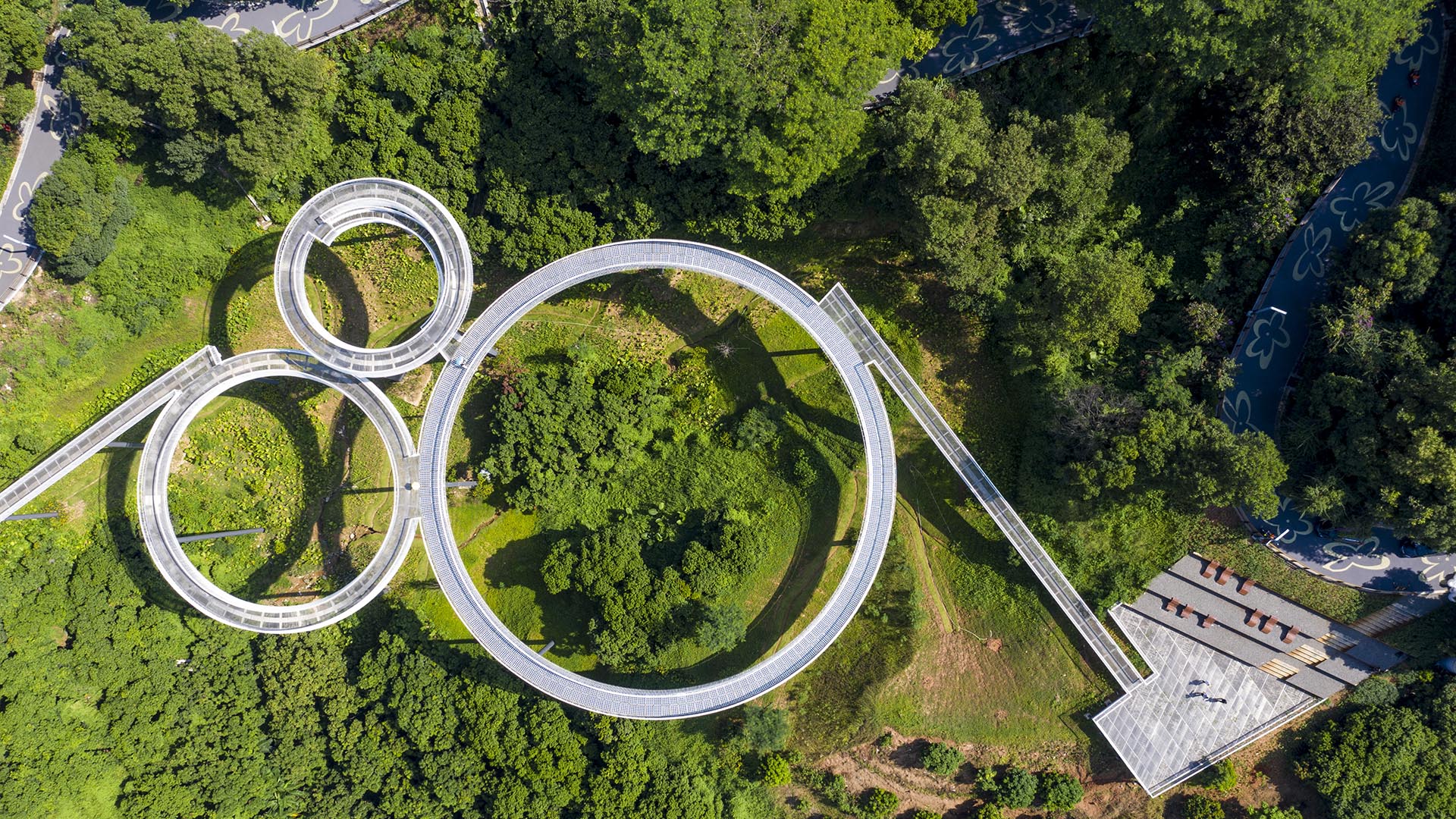
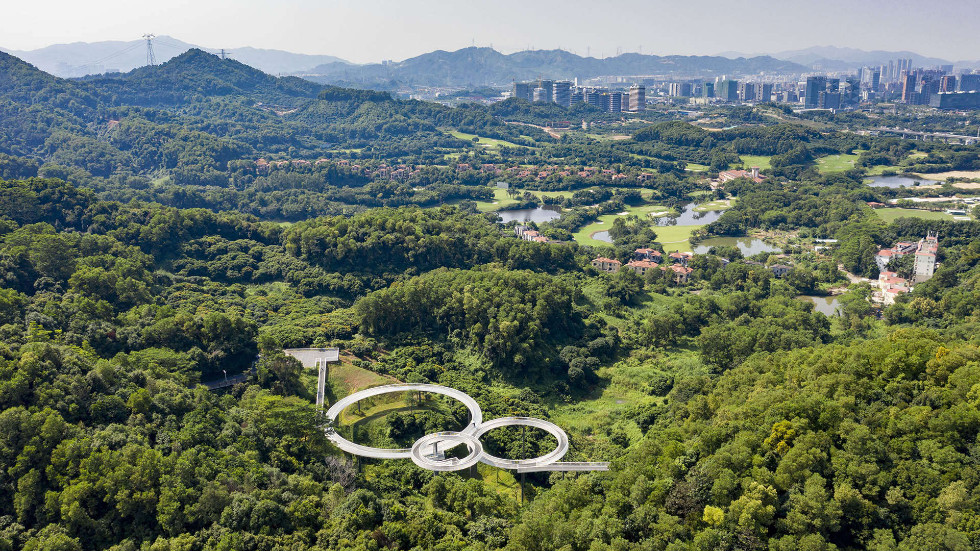
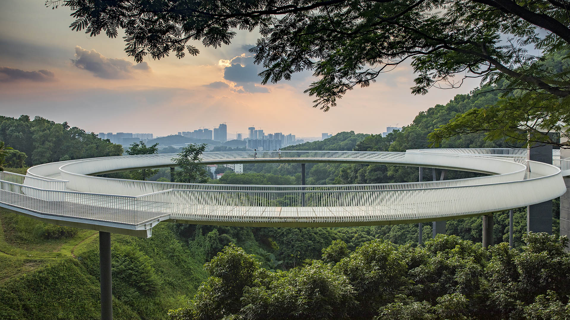
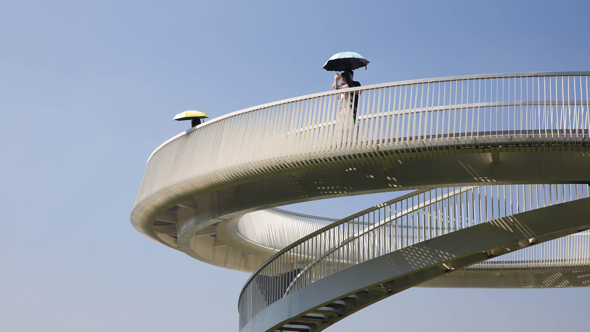
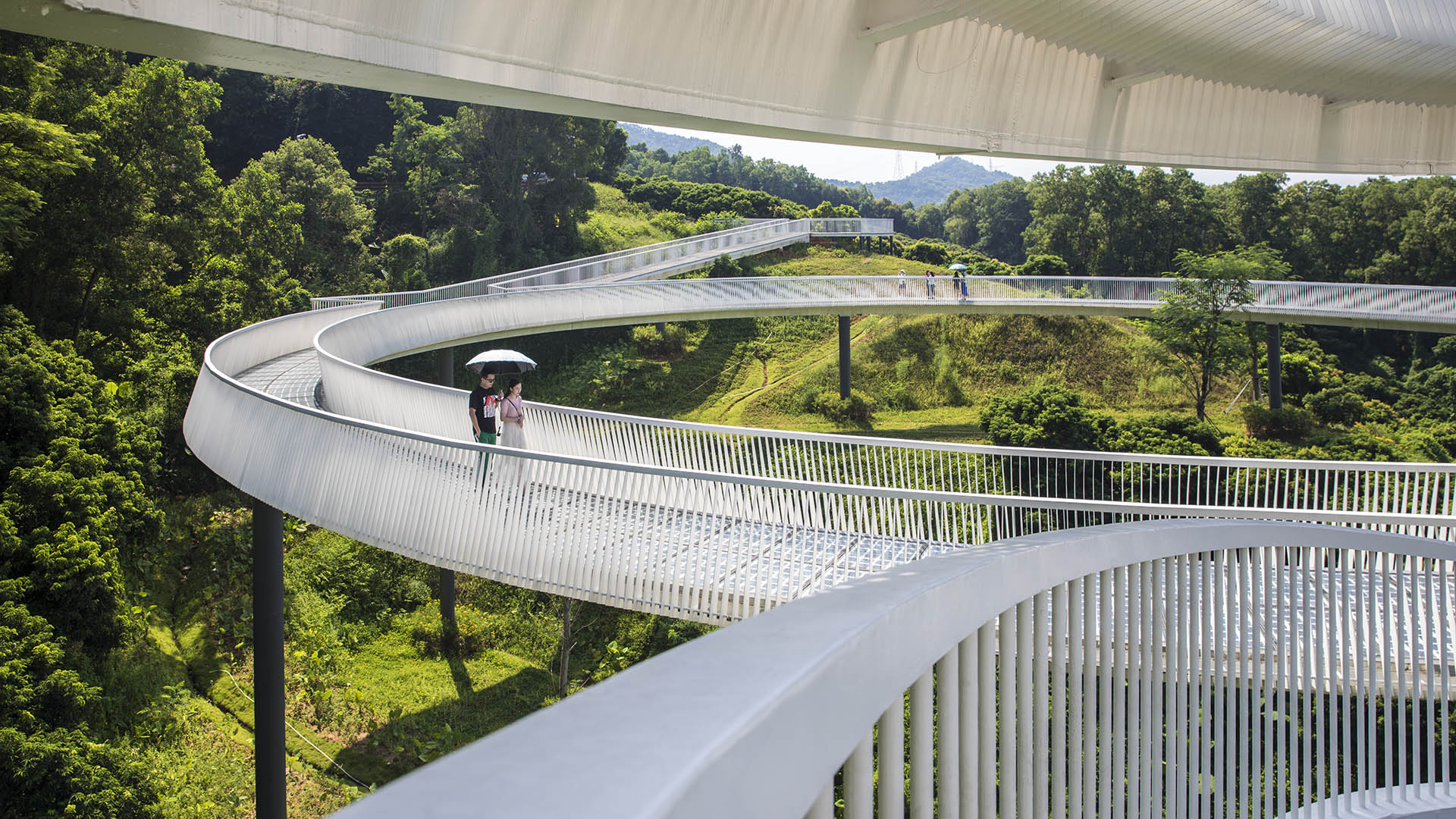
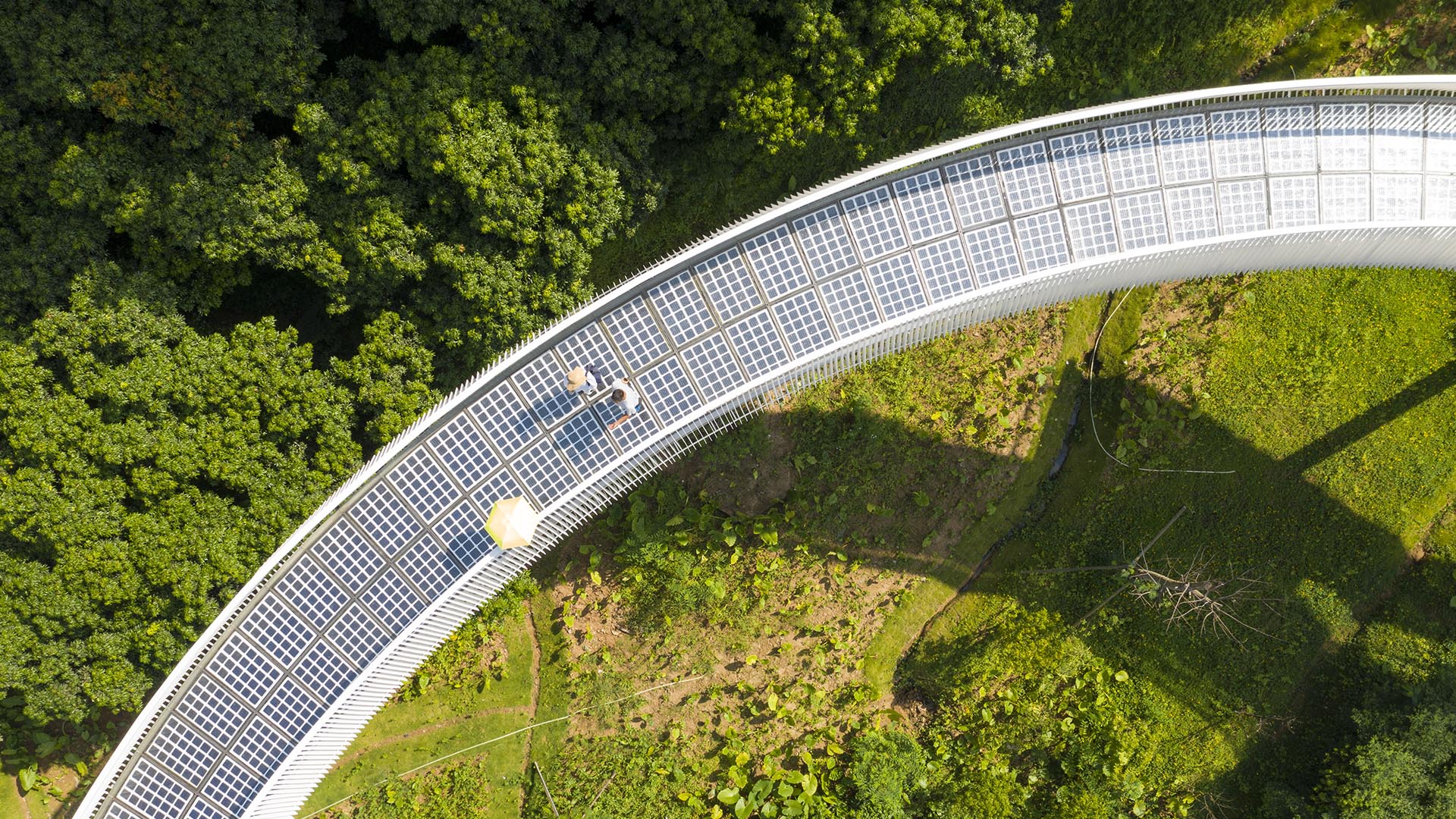
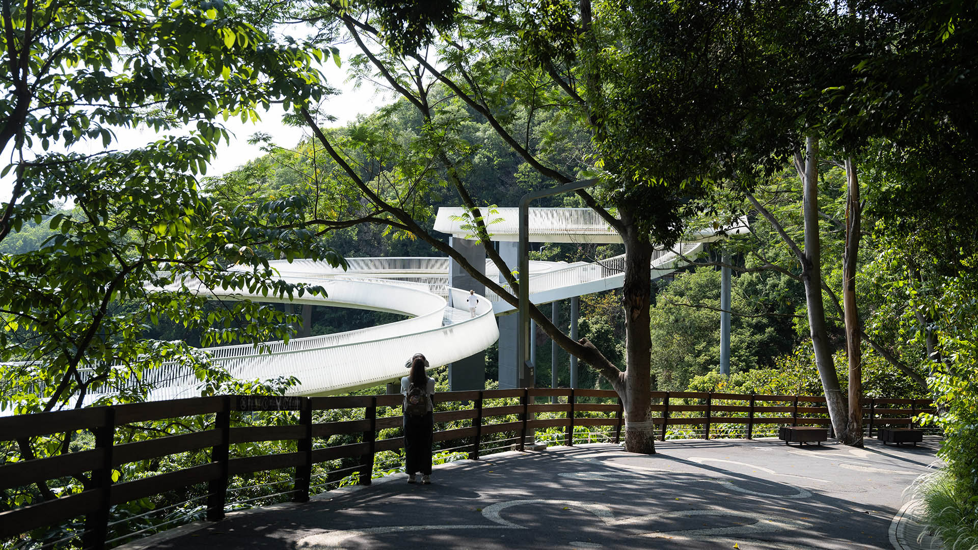
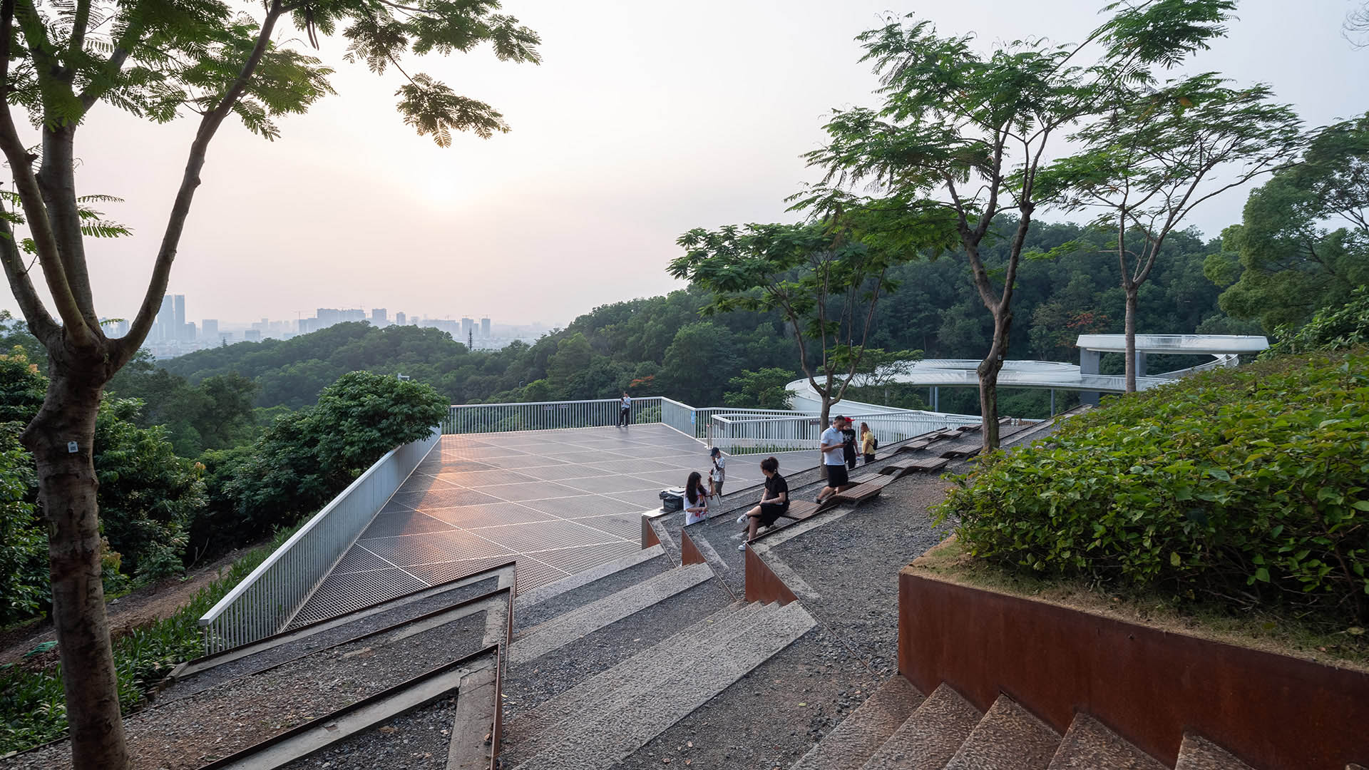
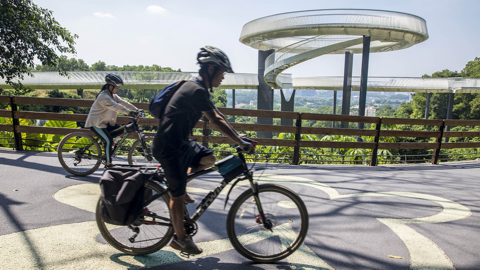
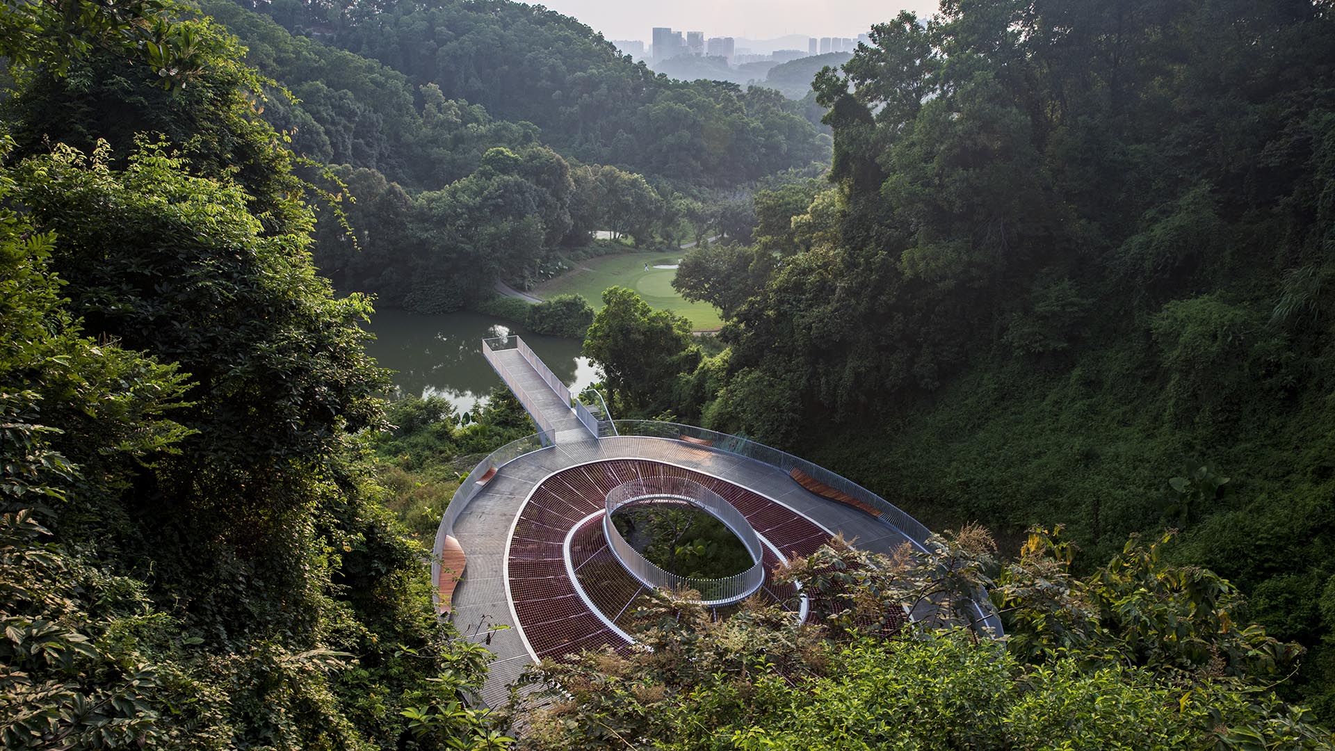
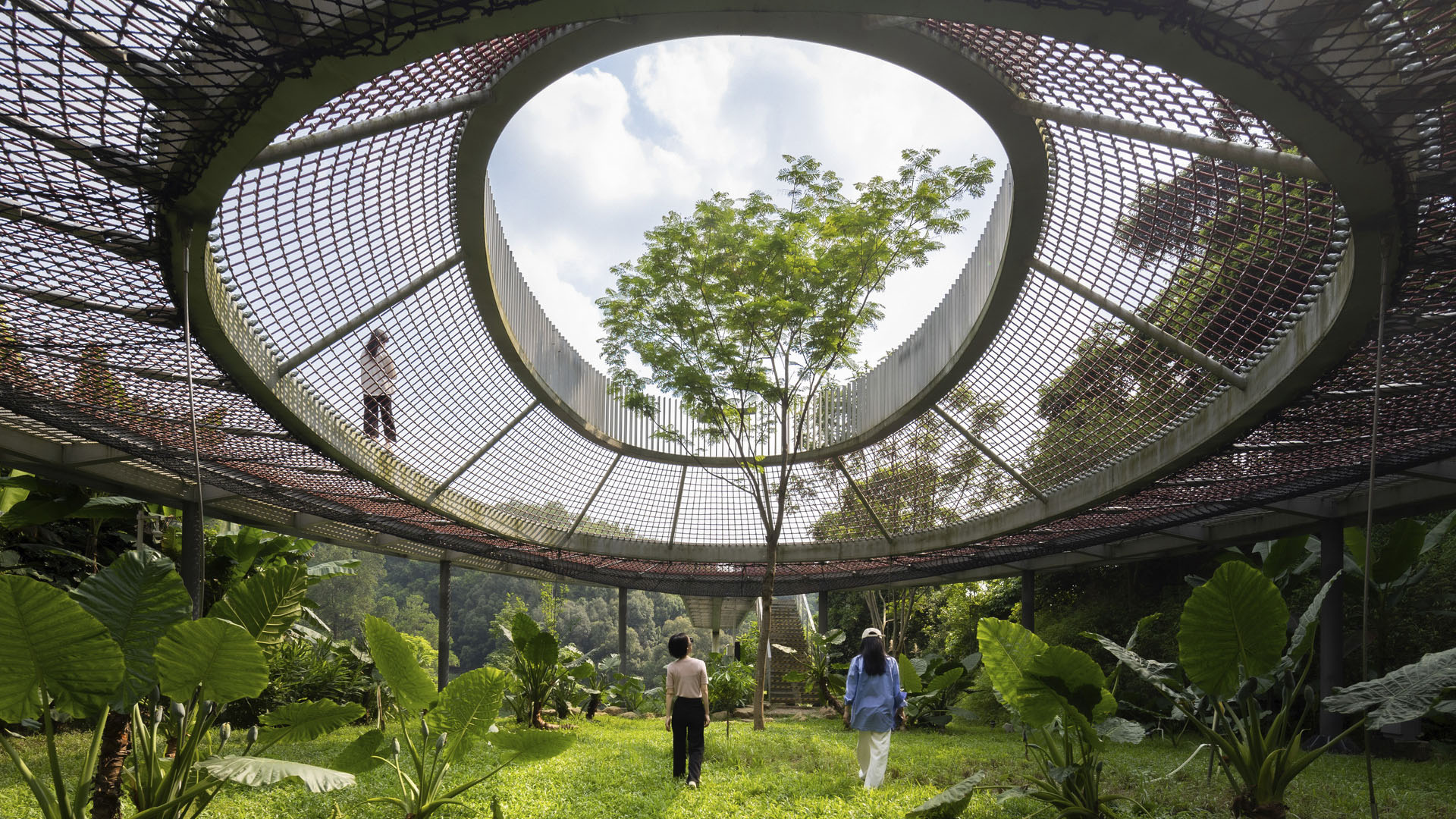
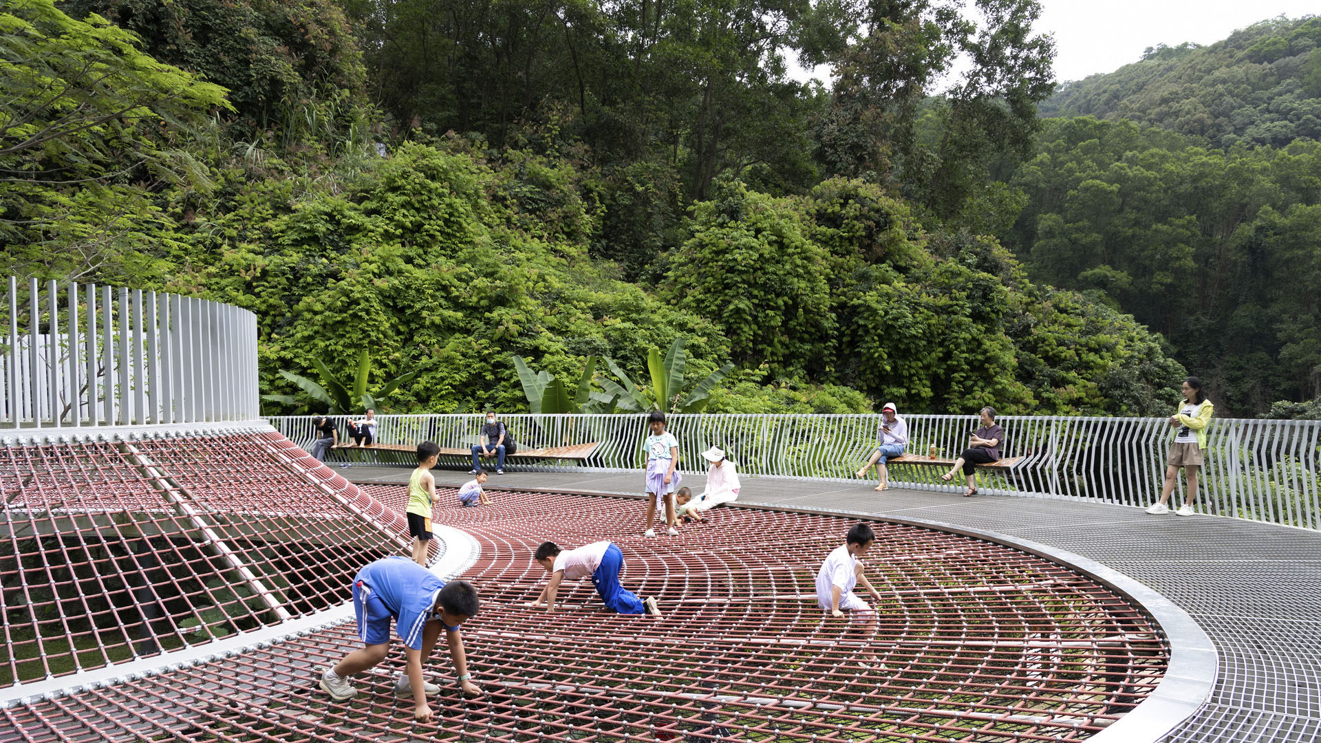
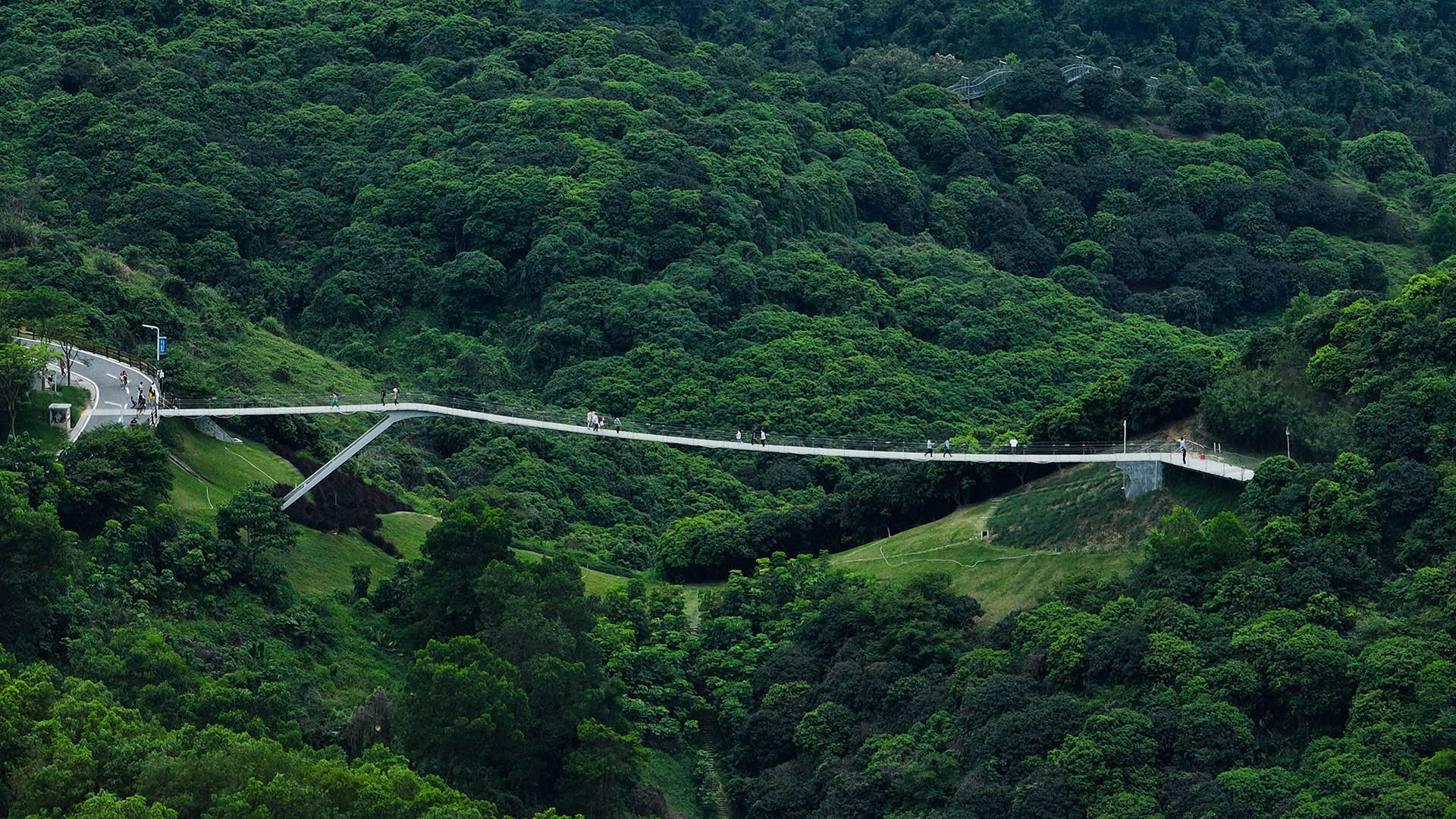
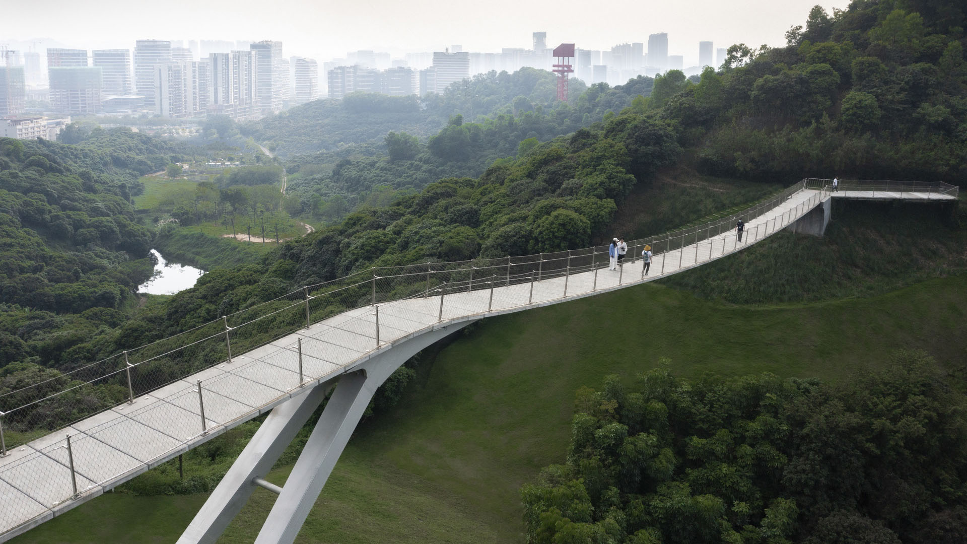
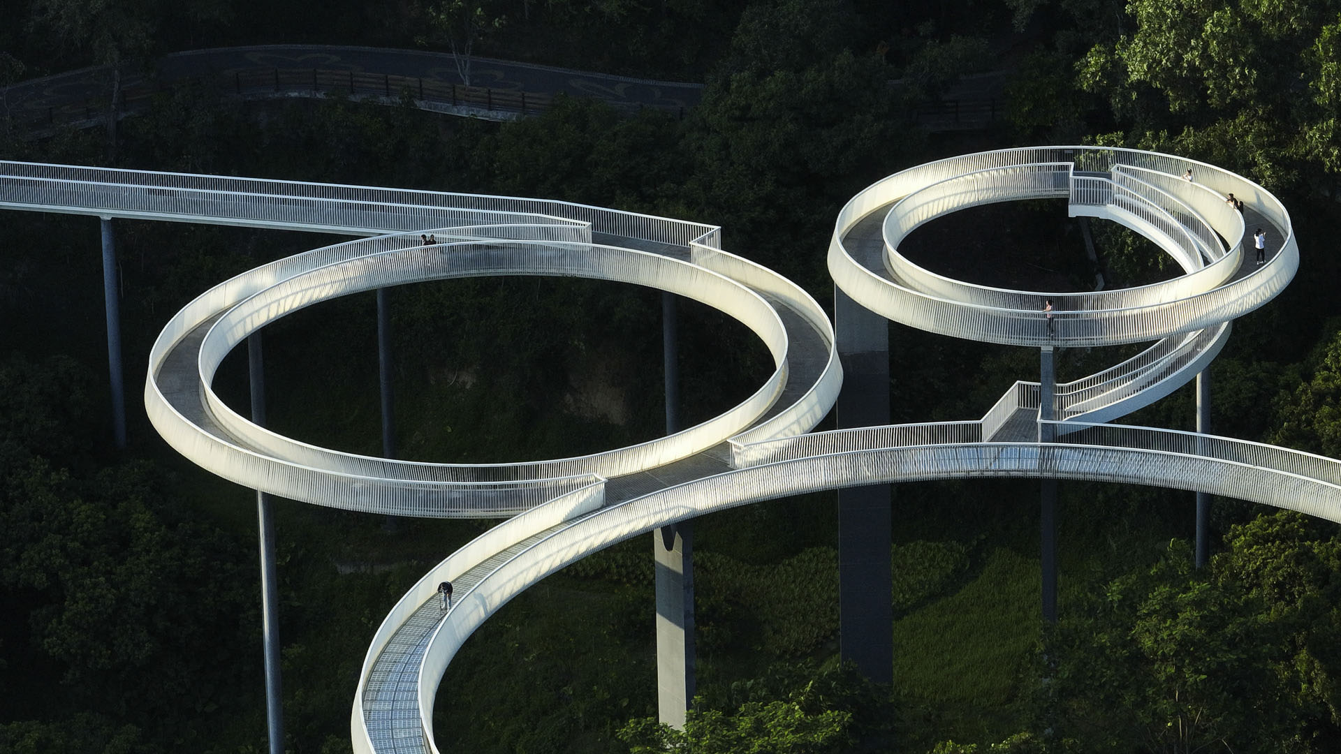
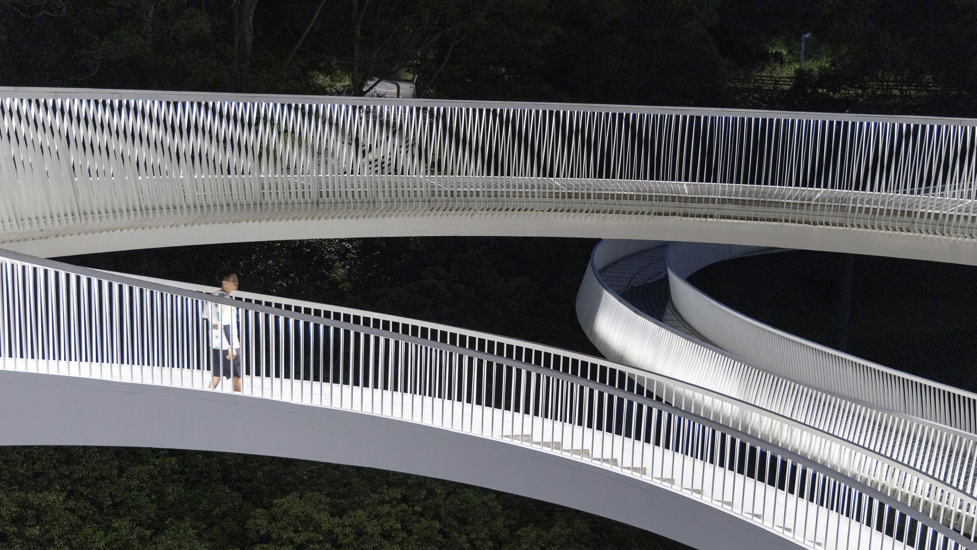
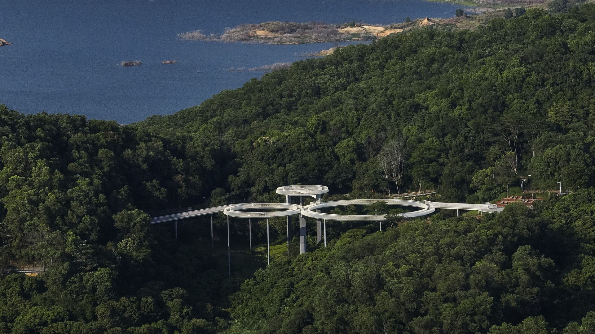
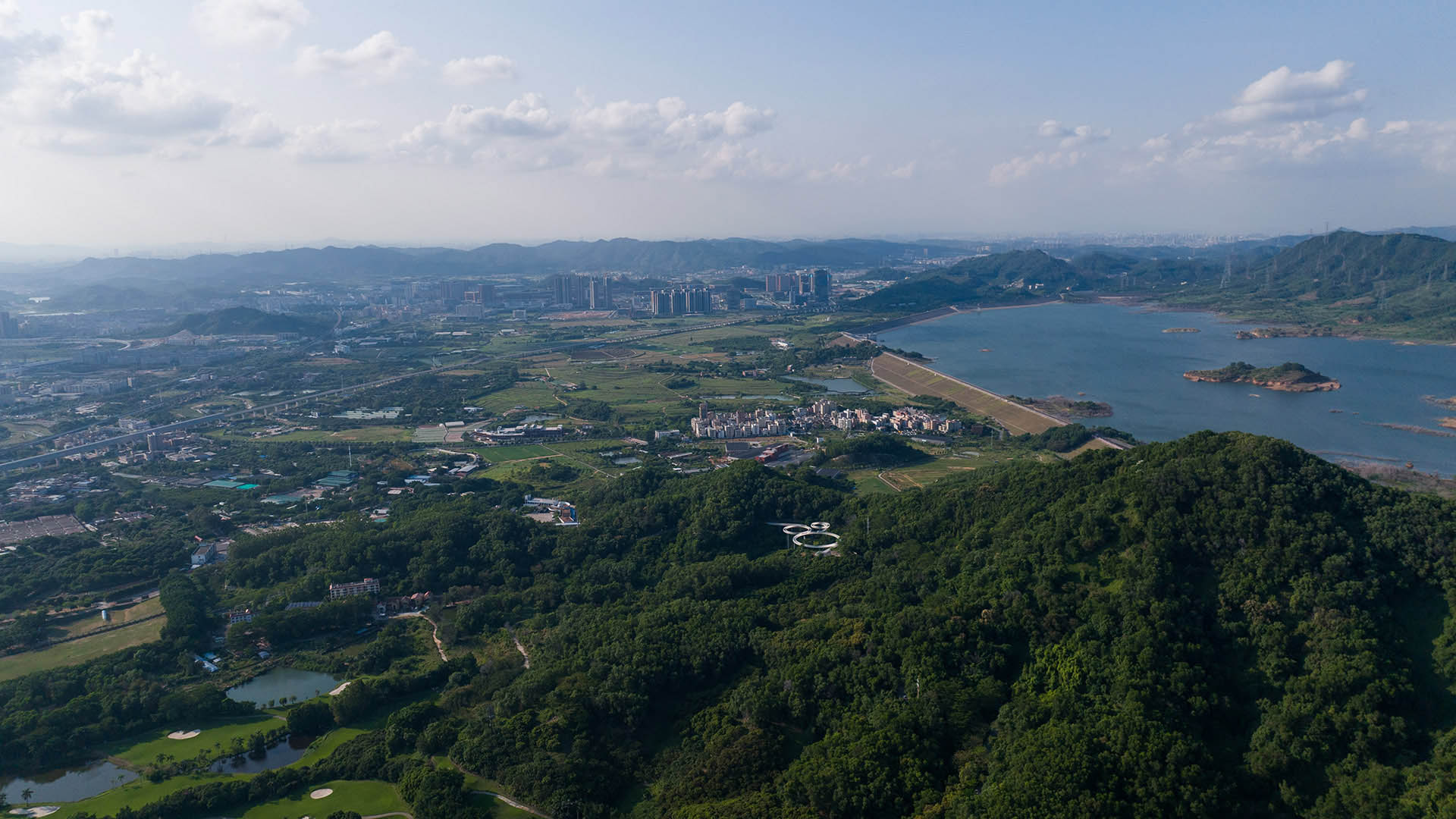
With its grand landscape views, Guangming Trail is both a green, healthy “slow circulation” system in an urban area, and an exemplar of innovation and sustainability. The trail’s topography changes as it progresses through mountains, valleys, hills, and farms. By considering vegetation, habitats, hydrology, and topography, sites with high value and potential were selected to be major design nodes, but the trail’s three bridges are among its most striking features.
The simple, geometric Floating Bridge is a high-tech path for walking and biking that traces and provides shaded overlooks of the water. Discovery Bridge’s undulating boardwalk traces site ecology and creates dynamic, intriguing spaces for pedestrians. Hanging Bridge evokes the wind that animates the site, connecting human experience with the outdoors.
Santa Monica North Beach Trail Improvements
While the beaches of Santa Monica are arguably one of the most iconic landscapes in Southern California, the trails running through them are less well known. Among those is the Marvin Braude Bike Trail, which runs from Mexico to Oregon and is commonly referred to as “The Strand” by locals. In recent years, The Strand bike trail had become congested and dangero...
Hi Line Connector
The Hi Line Connector spans one mile through Dallas’ Design District, linking two of the city’s most valuable urban core public assets: the Katy and Trinity Strand Trails. This transformative project introduces raised bike lanes and enhances the pedestrian experience by improving and realigning existing roadways. Beyond the physical infrastructure,...
Katy Trail
Katy Trail represents a remarkable resource for the residents of the Dallas Fort Worth region. This project enlivens and makes accessible right-of-way established by the storied, but later abandoned, Missouri-Kansas-Texas (better known as the “Katy”) line, and serves as a unifying element for the surrounding neighborhoods. Katy Trail provides appro...
Longgang River Blueway System
The Shenzhen Longgang River Blueway System is envisioned to unlock the tremendous land value of this 13-mile-long suburban watershed and galvanize the city’s future growth. SWA’s proposal addresses urbanization issues pertaining to water, the environment, and open space shortage, while also activating industrial and cultural revitalization in the surrounding d...


