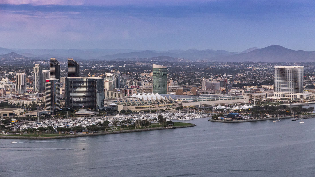
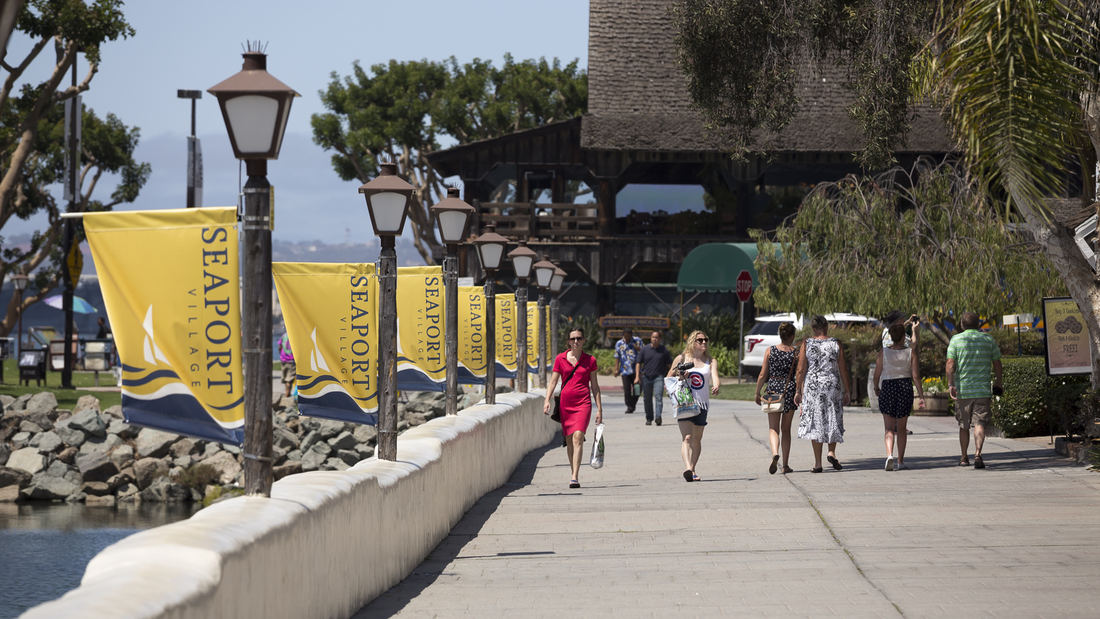
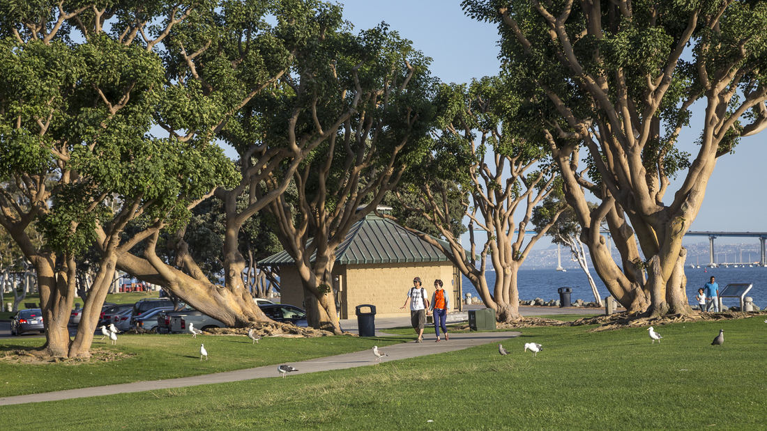
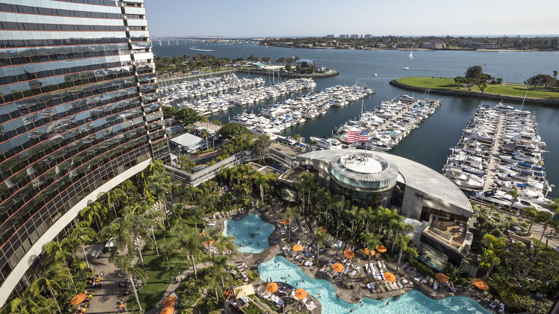
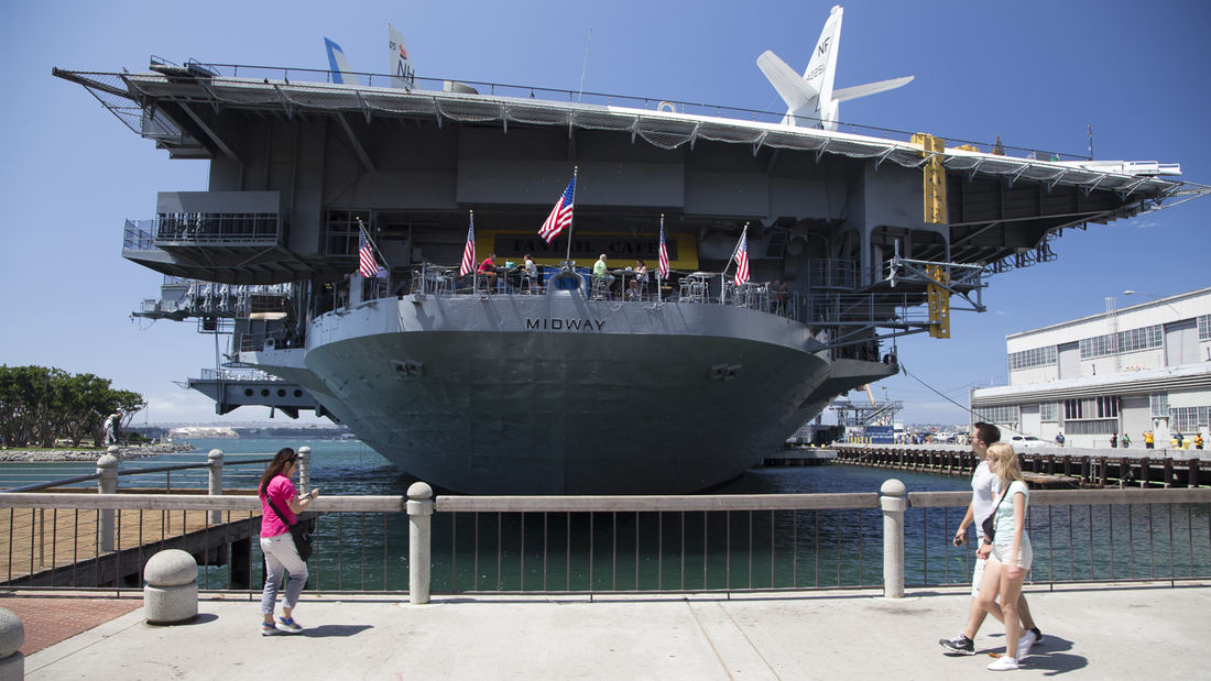
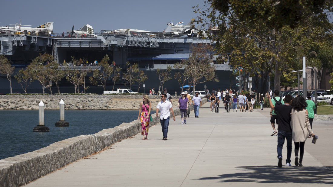
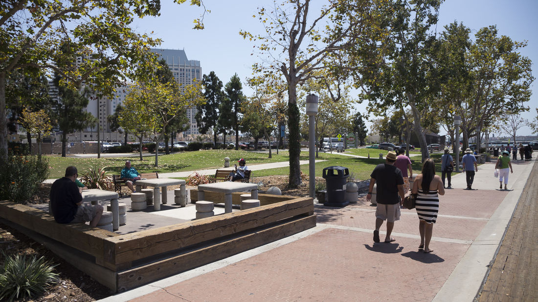
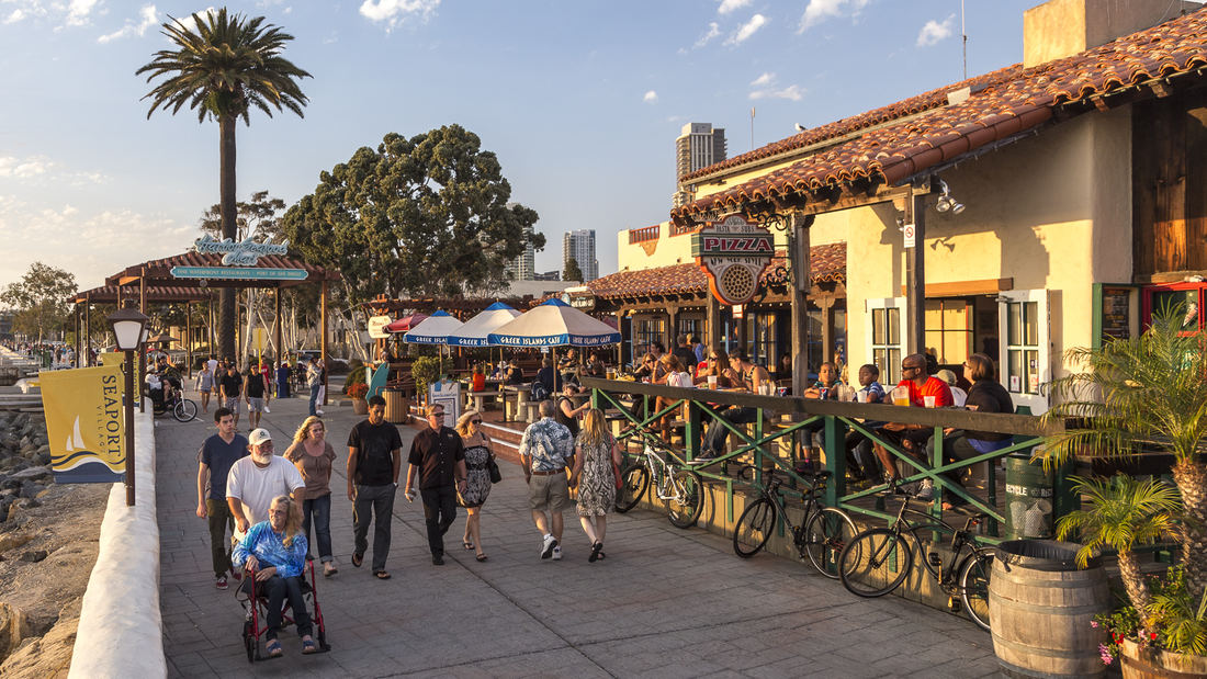
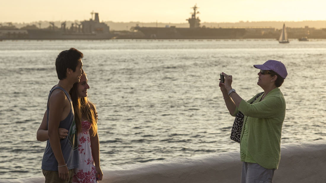
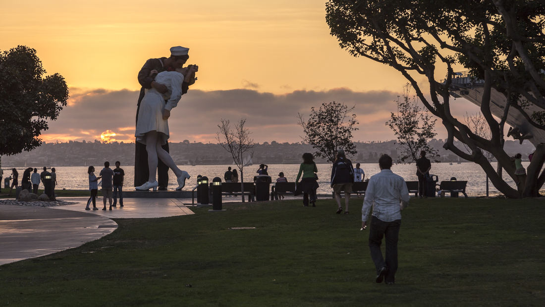
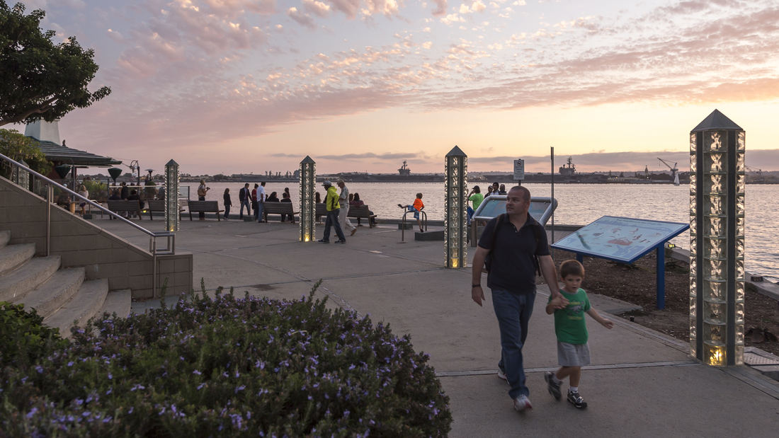
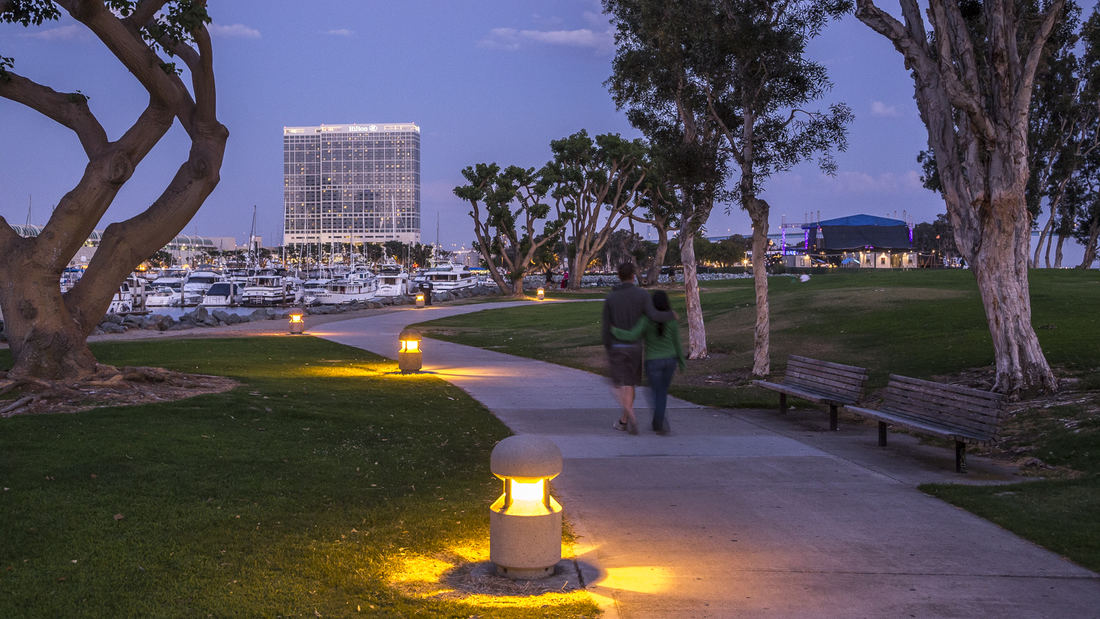
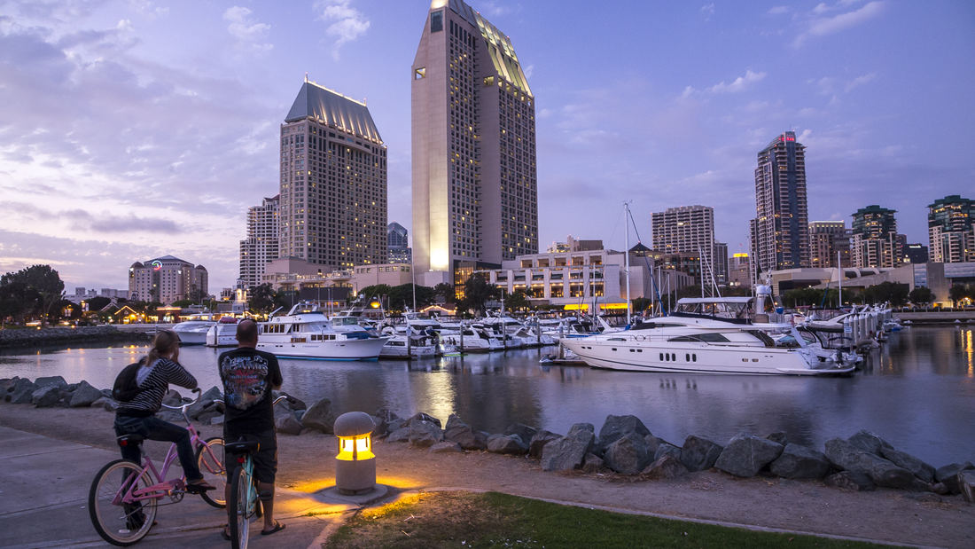
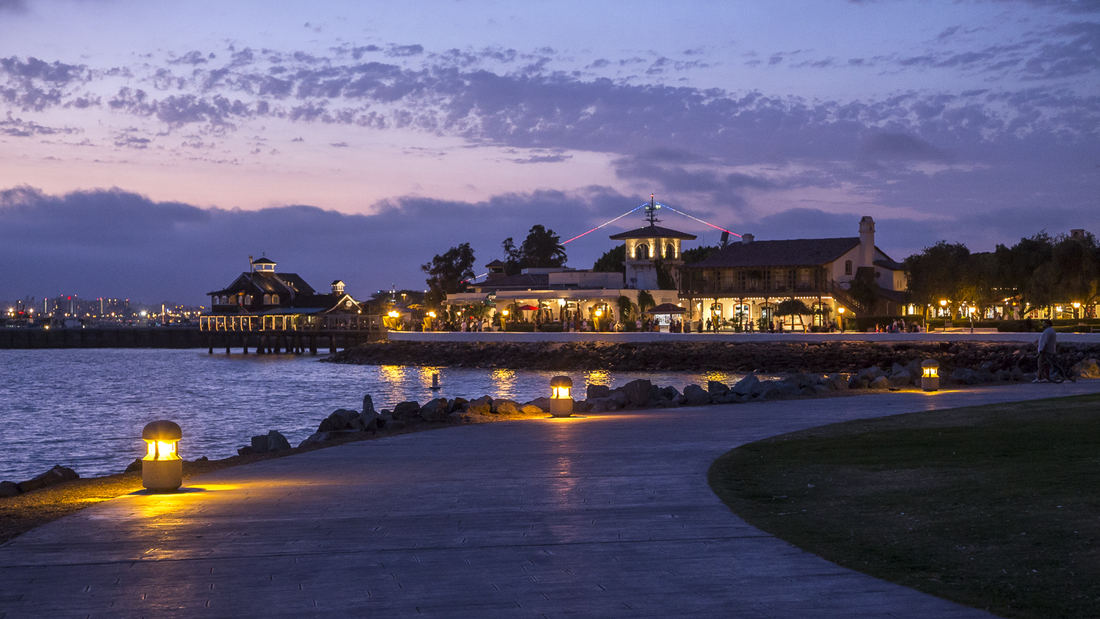
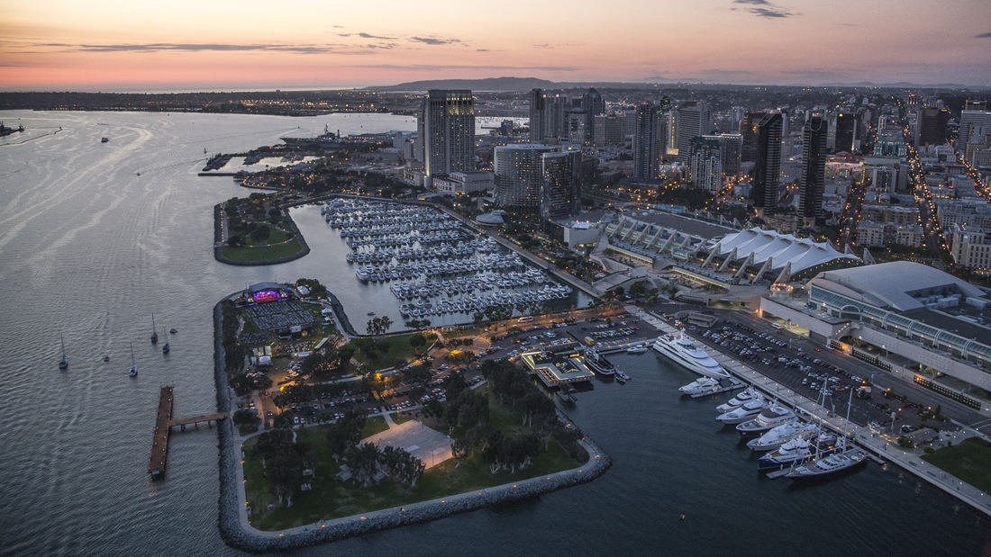
The redevelopment plan for the waterfront and port facilities adjacent to downtown San Diego included translating community and economic requirements into a specific planning program. Emphasis was placed on urban design, circulation and parking, landscaping, environmental planning, and engineering considerations with a set of comprehensive implementation guidelines. The plan introduced a continuous greenway and boardwalk traversing the waterfront. SWA led an interdisciplinary team through the following: · An intensive environmental review · A community workshop process · Development of a space utilization program with the economic consultant · Coordination with local agencies, U.S. Navy, state agencies, the new California Coastal Commission, and community groups · Development of transportation alternatives · Development of land and space use alternatives · Preparations of a phased Master Plan, including detailed shoreline plans · Preparation of an Environmental Impact Report Initial Study · Preparation of Development Guidelines · Audiovisual presentation for the approval process Perhaps most importantly, the designers were responsible for formulating and directing a comprehensive, forthright approach to the planning process. They directed a series of public workshops that determined goals and evaluated alternatives. A complete environmental analysis and Environmental Impact Report addressed additional concerns. Finally, the plan mitigated much of the concern of the Coastal Commission, state agencies and citizen groups by conceptualizing and communicating a vision for the waterfront that was, as stated in the plan, “in human terms, viable and contemporary in the dynamic San Diego metropolitan environment . . . The Embarcadero is the place where San Diego meets the Sea”. The plan, its guidelines and the subsequent implementation over three decades have given the citizens of San Diego and through tourism, the state and country, access to the magnificent shoreline of San Diego Bay for public enjoyment, economic renewal and community revitalization. The citizens of this culturally diverse region have been able to celebrate the water’s edge as a place to visit, enjoy and experience their family and community life. The plan set the course for this and future efforts of the Port to re-use their lands and reclaim their franchise for the people of California.
Guicheng Riverfront
After winning a design competition in 2017, SWA undertook two projects within the Guicheng Riverfront park system, a defining blueway and leisure loop belt. The two completed parks – South Bank Waterfront Park and Eco-Island Park – are designed with distinct programmatic elements and characters based on the riverfront’s surrounding land use and urban settings,...
Long Beach Shoreline
SWA prepared a land use and urban design plan for six miles of waterfront adjacent to downtown Long Beach. Through a series of meetings with local community stakeholders, we were able to determine the different needs of each district in the plan: of critical importance was the need to preserve valuable open space inland, and to maintain an ecological corridor ...
North Bund Riverside
North Bund Riverside Park, located on a prominent 2.1 km waterfront along Shanghai’s Huangpu River, is the first project of its kind in Shanghai to address contiguous waterfront open space. The goal of the associated international competition was to find innovative solutions to transform a post-industrial waterfront with historic elements into a viable active ...
Riverside Park South
Located on the West Side of Manhattan on the scenic Hudson River shoreline, Riverside Park South is a massive, multiphase project of sweeping ambition and historic scope. Combining new green space, new infrastructure, and the renovation of landmark industrial buildings, the plan – originally devised by Thomas Balsley Associates in 1991 – is an extension of Fre...


