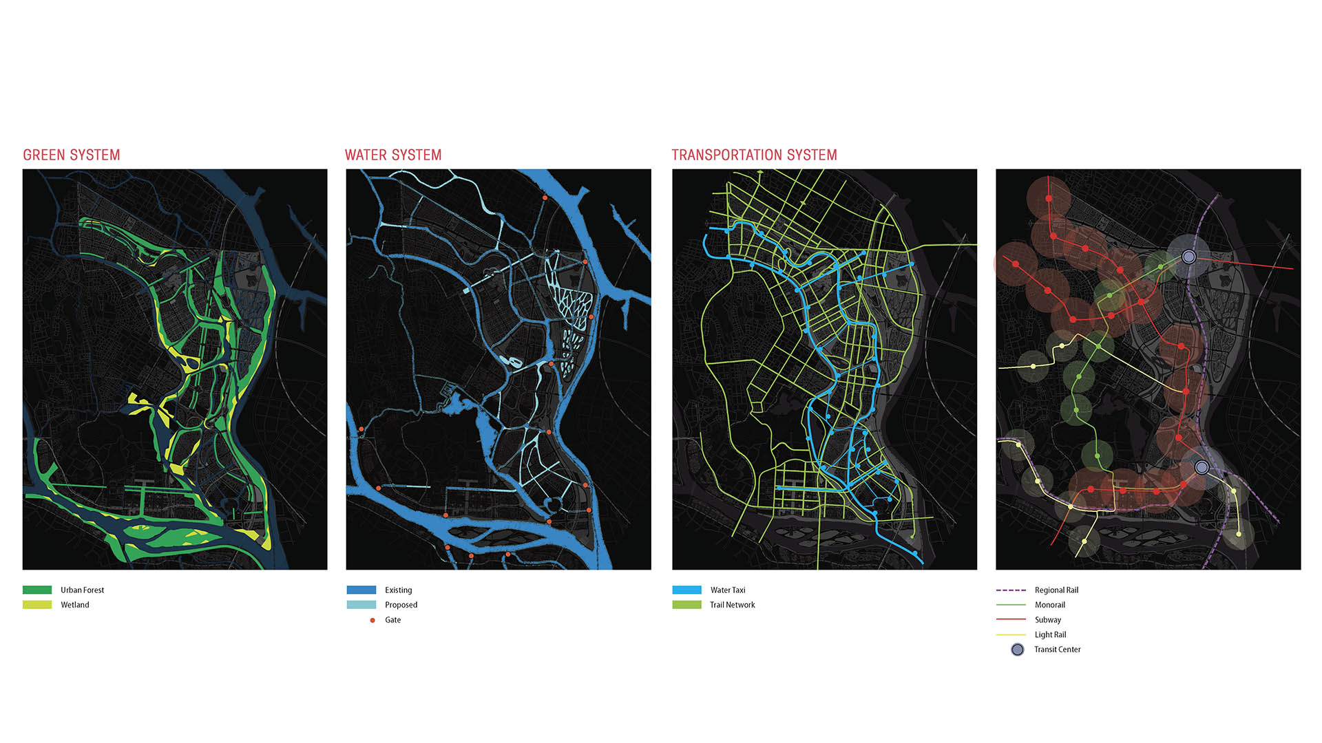
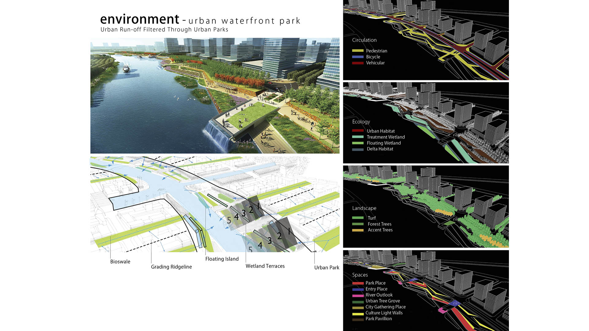
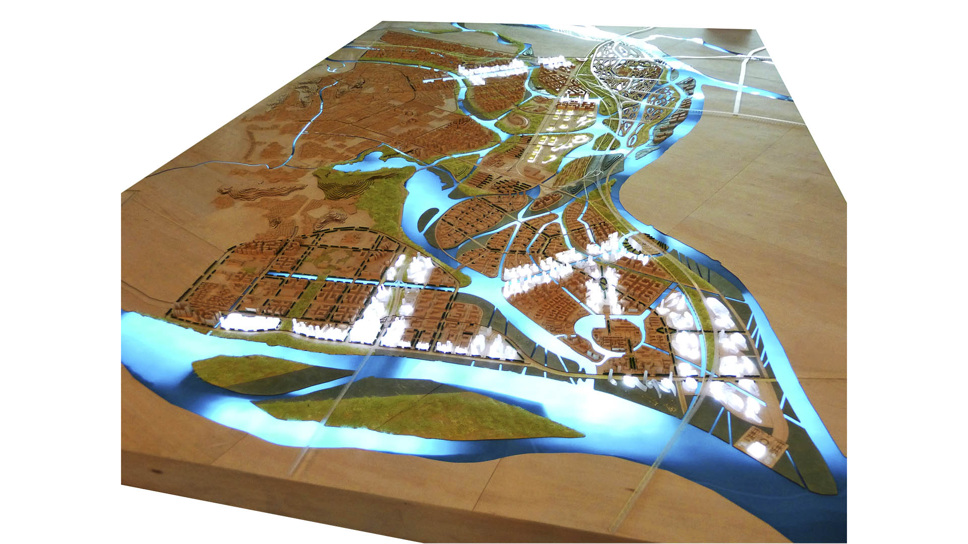
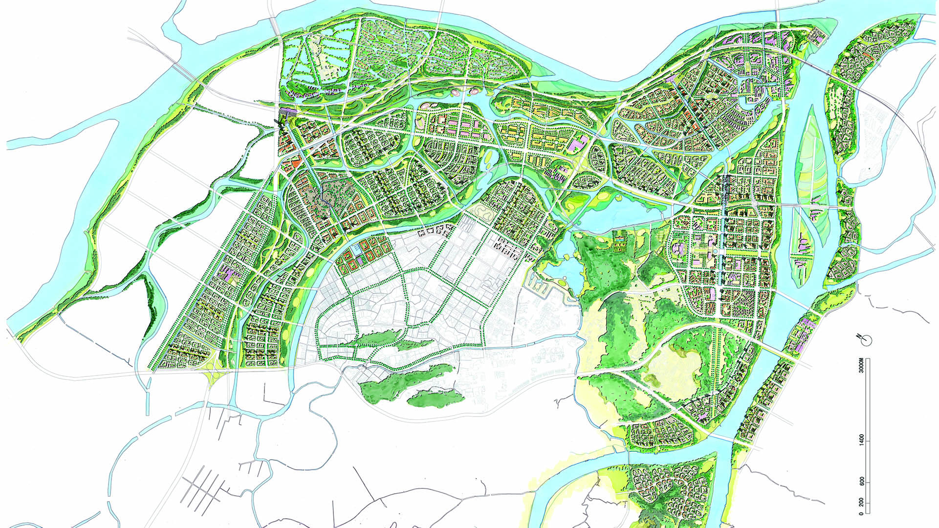
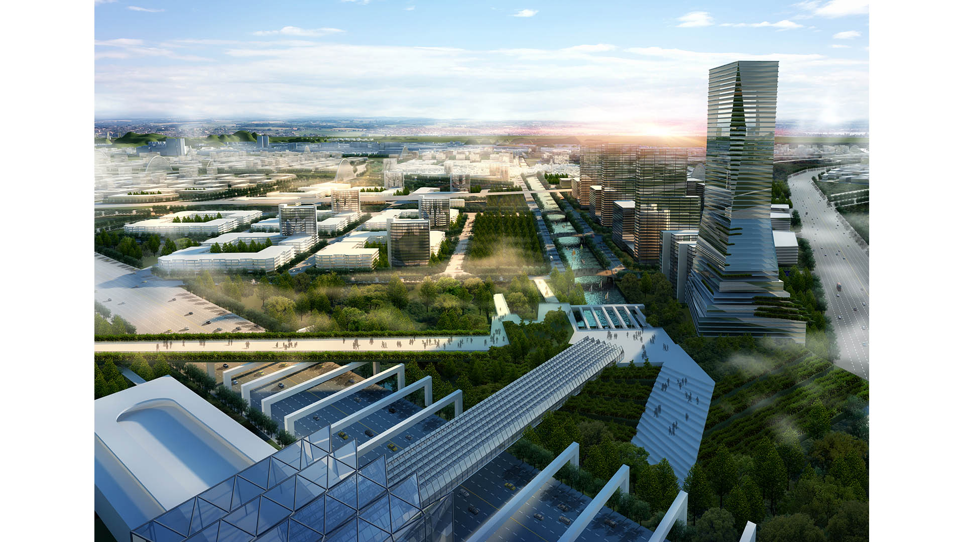
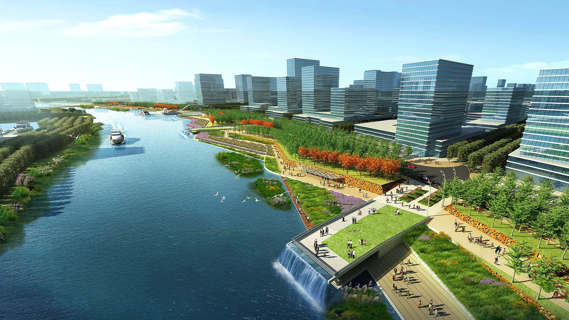
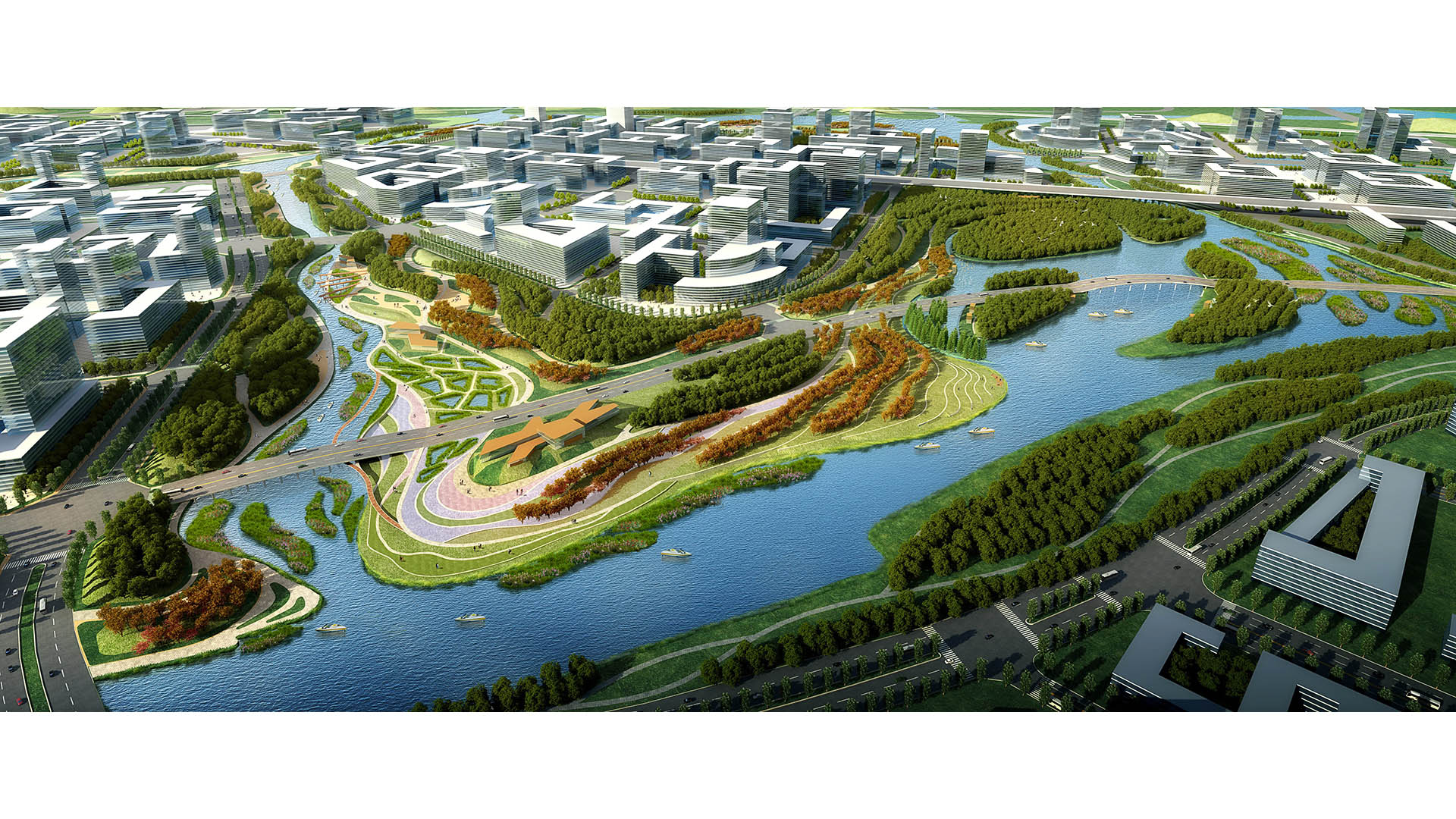
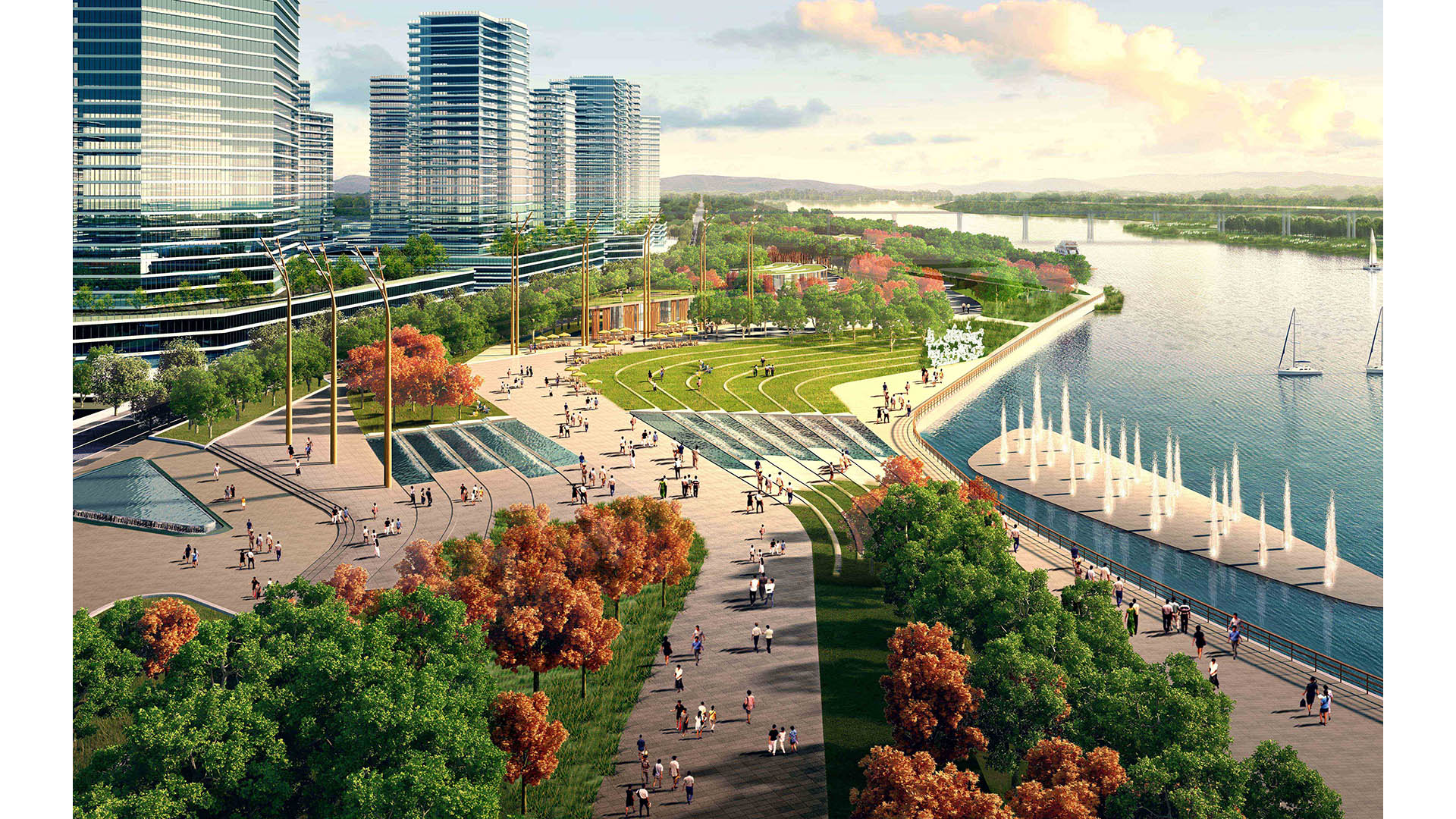
The Pearl River Delta is the second largest bird migration delta and estuary in Southeast Asia. Preserving and restoring bird and wildlife corridors while also providing regional connectivity, transportation, and development options is at the pinnacle of today’s development challenges. In the Shunde New City Plan, urban development and nature are integrated to form a unique and comprehensive system beneficial to both people and the natural environment. The Shunde New City Plan weaves a constructed wetland delta system into a multi-modal, pedestrian-oriented city. At 72 square kilometers, the plan utilizes the form of a wetland delta to break the city fabric into multiple nodes, with water as the connective tissue between development centers. Between water corridors, the plan contains multiple islands as pedestrian-scaled, mixed-use villages linked by an environmental infrastructure containing greenbelts, water corridors, wetlands, and trails.
A layered transportation network and multiple urban centers serve to create connected yet self-contained units of residential, retail, office, educational, and/or civic spaces. Two major stations consolidate regional rail, local monorail, water taxis, buses, and cars for the region. In addition, a comprehensive trail network parallels the greenbelts, and a water taxi system and a monorail network promote connectivity between the neighborhood centers. Throughout the project, human and environmental sustainability takes center stage. Fine-textured neighborhoods with compact blocks and small street cart-ways contribute to a human-scaled, walkable environment. The plan proposes compact blocks and a fine-scaled network of streets designed as human corridors, augmenting the pedestrian environment and allowing for a more delicate, environmentally-sensitive approach to planning and development. The net effect is a greater number of smaller streets, collectively mitigating traffic while expanding circulation choice. This smaller-grained fabric encourages walkability, reinforces a sense of place, and creates more development parcels and opportunity for architectural variation.
San Diego Embarcadero
The redevelopment plan for the waterfront and port facilities adjacent to downtown San Diego included translating community and economic requirements into a specific planning program. Emphasis was placed on urban design, circulation and parking, landscaping, environmental planning, and engineering considerations with a set of comprehensive implementation guide...
Buji River Urban Redevelopment Plan
The Buji River urban review master plan integrates strategies of recreation, reconnection, culture, and ecology to bring the river back to the people of Shenzhen. Based on a restored Buji River ecosystem, the urban review master plan for this flourishing environment aims to reconnect the river with the city.
The program is to be implemented at three sca...
Nanchang Xiangnan Urban Infill
Situated in the capital city of Jiangxi Province, which is known for its rich cultural and ecological resources, the Nanchang Urban Infill project strives to weave two new districts into the historical heart of the city. To the west, a tower and mall create a modern icon for Nanchang. Here, the landscape reinforces the architectural design through a fluid, con...
South Waterfront Greenway
A bold new plan for the area along the Willamette River includes a 1-1/2 mile extension of the City’s downtown’s parks and the reclamation of the river’s edge for public recreation. Working closely with the City of Portland, developers, and natural resource advocates, the design team devised a rational plan that places access and activity in targeted nodes wit...


